Menu

White Beach

78
18
1
coral
1
438
2
50

9.9733316275345, 123.3714885414

It is a steep slope/wall. A lot of rubbish was left behind and a lot beyond recreational dive limits.
Only beach in the area, no bins available.
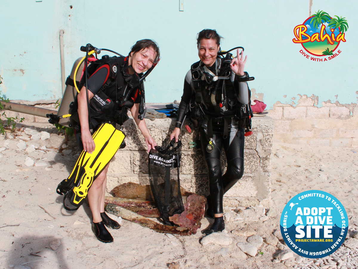
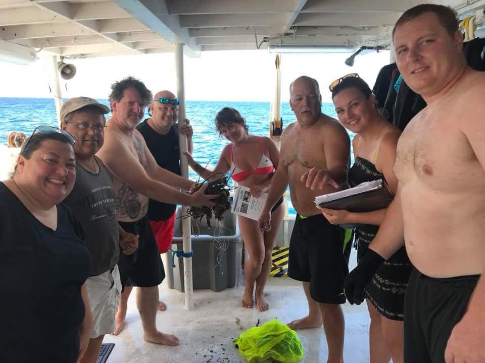
We do regular reef cleans and it is a big issue in the area and the Philippines in general, given that it is the 3rd largest plastic polluter in the world.
bicycle tyres.
Calm/Sunny
Quo Vaids Dive Resort
Charlie Klehr
28
3
2
3
1
29
1
18
2
17
2
60.00
60
30.00
5.00
measured
500.00
4
3
3
Plastic bags / wrappers
Diapers/Nappies
Aluminium foil / wrappers
On
kilograms
I have debris data to report
27
Calm (glassy to rippled) for waves 0 – 0.1 meter high
2
2
16
m2
5
12
meters
coral reef
2
2
2
3
26
3
1
118
8
4
2
Philippines
State\Province
Cebu
City
Moalboal
Map Help


Dive Location

If you know your survey site coordinates, enter them manually in decimal degrees using WGS84 Map Datum. Use the minus sign for latitudes south of the equator and longitudes west of the Prime Meridian to 180 degrees.

If you do not know your survey site coordinates, click the “Map Location” tab to use the map to zoom into your survey site and drop the pin on the map to fall within your survey dive site in the water (not on land or the beach). Ensure you zoom in as much as possible to ensure data accuracy.

Entangled Help


Use the vertical tabs below to record any entangled animals you found of each type.

Cheeseburger Reef

0
0
0

19.303573263578, -81.383675933563

0
0
0
sand
0
1
0
0
0
Rough, tropical storm
0
0
0
0
0
0
0
0
0
0
0
0
0
0
0
0
0
0
0
0
7 Mile Watersports
Liz Maynor
0
0
0
0
0
0
0
0
0
0
0
0
0
0
0
0
0
0
0
2
0
0
0
0
0
0
0
0
0
0
0
0
0
0
0.30
70
14.00
5.00
0
estimated
0
0
277.79
0
0
0
2
0
0
On
kilograms
0
I have debris data to report
0
0
0
Calm (glassy to rippled) for waves 0 – 0.1 meter high
0
0
0
0
0
0
0
m2
0
0
meters
coral reef
0
0
0
0
0
0
0
0
0
0
0
0
0
0
0
0
0
0
0
0
0
0
0
0
0
0
0
0
Cayman Islands
State\Province
Grand Cayman
City
George Town
Map Help


Dive Location

If you know your survey site coordinates, enter them manually in decimal degrees using WGS84 Map Datum. Use the minus sign for latitudes south of the equator and longitudes west of the Prime Meridian to 180 degrees.

If you do not know your survey site coordinates, click the “Map Location” tab to use the map to zoom into your survey site and drop the pin on the map to fall within your survey dive site in the water (not on land or the beach). Ensure you zoom in as much as possible to ensure data accuracy.

Entangled Help


Use the vertical tabs below to record any entangled animals you found of each type.

ADS343 - Playa Lagun

12.31835, -69.150884

coral
Rainy
Bahia Apartments & Diving
Peter Bot
6
3
5.00
60
15.00
2.00
estimated
100.00
On
kilograms
I have debris data to report
Calm (glassy to rippled) for waves 0 – 0.1 meter high m2
meters
coral reef
Netherlands Antilles
State\Province
Curacao
City
Lagun
Map Help


Dive Location

If you know your survey site coordinates, enter them manually in decimal degrees using WGS84 Map Datum. Use the minus sign for latitudes south of the equator and longitudes west of the Prime Meridian to 180 degrees.

If you do not know your survey site coordinates, click the “Map Location” tab to use the map to zoom into your survey site and drop the pin on the map to fall within your survey dive site in the water (not on land or the beach). Ensure you zoom in as much as possible to ensure data accuracy.

Entangled Help


Use the vertical tabs below to record any entangled animals you found of each type.

ADS301 - Kua Bay

3
2

19.811236, -156.007472

sand
14
Tourism / Fishing
Rash guard
Sunny / windy
Kona Honu Divers
Samuel Johnson
3
5
11
0
1
11.00
60
50.00
10.00
2
measured
1
10000.00
On
pounds
I have debris data to report
Moderate to rough for waves greater than 1.25 meters ft2
feet
coral reef
3
6
United States
State\Province
Hawaii
City
Kailua-Kona
Map Help


Dive Location

If you know your survey site coordinates, enter them manually in decimal degrees using WGS84 Map Datum. Use the minus sign for latitudes south of the equator and longitudes west of the Prime Meridian to 180 degrees.

If you do not know your survey site coordinates, click the “Map Location” tab to use the map to zoom into your survey site and drop the pin on the map to fall within your survey dive site in the water (not on land or the beach). Ensure you zoom in as much as possible to ensure data accuracy.

Entangled Help


Use the vertical tabs below to record any entangled animals you found of each type.

Old RoadBay - St. Kitts

3
other
2

17.3147829, -62.7963287

Hurricane Irma and Maria
Some debris seemed to be from littering bust most is believed to be from recent Hurricanes.
Entangled in wire
Calm
Carolina Dive Center
David L. Woodlief
1
8
1
5
8.00
55
53.00
28.00
estimated
4000.00
Beverage Bottles- Recent Hurricane
Cloth Fragments- Recent Hurricane
Wire Mesh- Recent Hurricane
On
pounds
I have debris data to report
1
Calm (glassy to rippled) for waves 0 – 0.1 meter high
3
Wire Mesh
1
Released Unharmed
Nurse Shark
8
ft2
feet
coral reef
1
5
1
3
United States
State\Province
North Carolina
City
Raleigh
Map Help


Dive Location

If you know your survey site coordinates, enter them manually in decimal degrees using WGS84 Map Datum. Use the minus sign for latitudes south of the equator and longitudes west of the Prime Meridian to 180 degrees.

If you do not know your survey site coordinates, click the “Map Location” tab to use the map to zoom into your survey site and drop the pin on the map to fall within your survey dive site in the water (not on land or the beach). Ensure you zoom in as much as possible to ensure data accuracy.

Entangled Help


Use the vertical tabs below to record any entangled animals you found of each type.

Dominant Substrate Other
Volcanic Sand

ADS329 - Kokkari

1

37.780571, 26.889791

sand
The ghost net was half burried in the sand, which made it more challenging to retrieve it.
The net's rope will be reused in our underwater cleanups while the led weights will be recycled into 1kg and to 2kg dive weights.
ALEXANDROS MALAGARIS
4
48.00
70
4.00
1.00
measured
500.00
ghost net
On
kilograms
I have debris data to report
Slight for waves 0.5 -1.25 meter high m2
meters
seagrass
Greece
State\Province
SAMOS
City
KOKKARI
Map Help


Dive Location

If you know your survey site coordinates, enter them manually in decimal degrees using WGS84 Map Datum. Use the minus sign for latitudes south of the equator and longitudes west of the Prime Meridian to 180 degrees.

If you do not know your survey site coordinates, click the “Map Location” tab to use the map to zoom into your survey site and drop the pin on the map to fall within your survey dive site in the water (not on land or the beach). Ensure you zoom in as much as possible to ensure data accuracy.

Entangled Help


Use the vertical tabs below to record any entangled animals you found of each type.

ADS184 - Gold Coast Seaway

-27.93664, 153.426301

46
rock
450
284 Lead Sinkers
34 Lures
362 Hooks
289 Swivels
Heavily fished area
Unfortunately another Turtle lost it's life in the Gold Coast Seaway a few days prior to our scheduled Monthly Maintenance Dive, due to entanglement in fishing line. This is the second Turtle in three years to lose it's life at the same point in the Gold Coast Seaway, as area we now refer to as the "Death Zone" or "Spiderweb City" due to the build up of many years of snags and lost line.

This is not a dive that can be done with ease on a single tank. We enlisted the help of a fair few EPIC Dive Buddy and Cos Mick (the poor Guy had the displeasure of discovering the Turtle earlier in the week with the Devocean Dive Crew) brought his Boat!

We loaded our gear onto the Micks Boat (after getting yelled at by the parking ladies) and off he went to launch. The rest of us took our Mask, Snorkels and Fins and began the long walk, wetsuit clad (in the Queensland Sun) to rock hop and swim out to retrieve our gear off the boat.

Vis was nothing to write home about but we could definitely work with it. The Spiderwebs were exactly as we remembered them, offensive and everywhere. We also removed 25m of Steel Cable which when used as a transect line was amazing, however a couple of years in, it is nothing but an entanglement hazard of the worst kind. One of our Divers had to remove a Ganghook and line debris from beneath a Wobbeygong Shark, due to the curtain of line and hooks hanging off the cable. We will be going back for more over our next dives.
Sunglasses
Rough
Environmental Divers
Kelly Fletcher
1
10
4
68.90
50
13.00
3.00
3
measured
3
969
60.00
Fishing Line
Lead Sinkers
Hooks
On
kilograms
I have debris data to report
5
Slight for waves 0.5 -1.25 meter high m2
meters
other
2
6
1
Australia
State\Province
Queensland
City
Gold Coast
Map Help


Dive Location

If you know your survey site coordinates, enter them manually in decimal degrees using WGS84 Map Datum. Use the minus sign for latitudes south of the equator and longitudes west of the Prime Meridian to 180 degrees.

If you do not know your survey site coordinates, click the “Map Location” tab to use the map to zoom into your survey site and drop the pin on the map to fall within your survey dive site in the water (not on land or the beach). Ensure you zoom in as much as possible to ensure data accuracy.

Entangled Help


Use the vertical tabs below to record any entangled animals you found of each type.

Ecosystem Other
Man made seaway entrance, rock wall with sand bottom

Osezaki,Shizuoka,Japan

5
3
sand
2

35.024661379487, 138.78673920039

sunny
Marin House leialoha
Taro Yamaguchi
1
4
1
4
3
4
1
2
3.00
40
14.20
3.00
estimated
1
2262.14
43. plastic fragments [The vinyl tape attached to the scuba cylinder falls off]
83. wood fragments [Due to the influence of the typhoon, it is swept away from the river]
63. fishing: traps & pots [Because it is also the point of fishing]
1
On
kilograms
Our Survey Site was free of debris
6
Calm (glassy to rippled) for waves 0 – 0.1 meter high
24
3
4
1
m2
5
meters
rocky reef
1
5
4
7
1
4
Japan
State\Province
shizuoka
City
13-41,minamihoncho,mishima-shi
Map Help


Dive Location

If you know your survey site coordinates, enter them manually in decimal degrees using WGS84 Map Datum. Use the minus sign for latitudes south of the equator and longitudes west of the Prime Meridian to 180 degrees.

If you do not know your survey site coordinates, click the “Map Location” tab to use the map to zoom into your survey site and drop the pin on the map to fall within your survey dive site in the water (not on land or the beach). Ensure you zoom in as much as possible to ensure data accuracy.

Entangled Help


Use the vertical tabs below to record any entangled animals you found of each type.

ADS184 - Gold Coast Seaway

4
1
14

-27.93664, 153.426301

1
rock
1
250
113 Lead Sinkers
64 Hooks
87 Swivels
6 Hard Lures
Highly fished area
Hook and Line removed and fish released as unharmed as possible.
A sign
Calm
1
Pen
Environmental Divers
Kelly Fletcher
5
2
1
2
29.80
87
13.00
1.00
4
measured
2
270
80.00
Fishing Line
Lead Sinkers
Hooks
On
kilograms
I have debris data to report
Calm (glassy to rippled) for waves 0 – 0.1 meter high
Hook and line entangled
2
Released Unharmed
Bream
5
m2
meters
other
1
2
1
2
1
Australia
State\Province
Queensland
City
Gold Coast
Map Help


Dive Location

If you know your survey site coordinates, enter them manually in decimal degrees using WGS84 Map Datum. Use the minus sign for latitudes south of the equator and longitudes west of the Prime Meridian to 180 degrees.

If you do not know your survey site coordinates, click the “Map Location” tab to use the map to zoom into your survey site and drop the pin on the map to fall within your survey dive site in the water (not on land or the beach). Ensure you zoom in as much as possible to ensure data accuracy.

Entangled Help


Use the vertical tabs below to record any entangled animals you found of each type.

Ecosystem Other
Man made seaway entrance, rock wall with sand bottom

ADS184 - Gold Coast Seaway

1
3
3
2

-27.93664, 153.426301

4
rock
3
150
Highly fished area
Many thanks to the team from The Queensland Scuba Diving Company for getting our divers there and also to the lads the showed up with their scooters, they really did make it a whole lot easier.

We even had a Dolphin dive bomb us on our checkout dive, the Gold Coast Seaway truly just is such an amazing Dive Site!
High Visibility Vest / Bong
Good - calm and flat for our dive on the opposite side of the Gold Coast Seaway

Environmental Divers
Kelly Fletcher
1
1
9
1
3
2
2
16.70
62
22.00
2.00
1
measured
4
89
80.00
3
Fishing Line
Lead Sinkers
Hooks
On
kilograms
I have debris data to report
15
Calm (glassy to rippled) for waves 0 – 0.1 meter high
4
m2
7
meters
other
3
1
8
1
3
3
Australia
State\Province
Queensland
City
Gold Coast
Map Help


Dive Location

If you know your survey site coordinates, enter them manually in decimal degrees using WGS84 Map Datum. Use the minus sign for latitudes south of the equator and longitudes west of the Prime Meridian to 180 degrees.

If you do not know your survey site coordinates, click the “Map Location” tab to use the map to zoom into your survey site and drop the pin on the map to fall within your survey dive site in the water (not on land or the beach). Ensure you zoom in as much as possible to ensure data accuracy.

Entangled Help


Use the vertical tabs below to record any entangled animals you found of each type.

Ecosystem Other
Man made seaway entrance, rock wall with sand bottom
Subscribe to