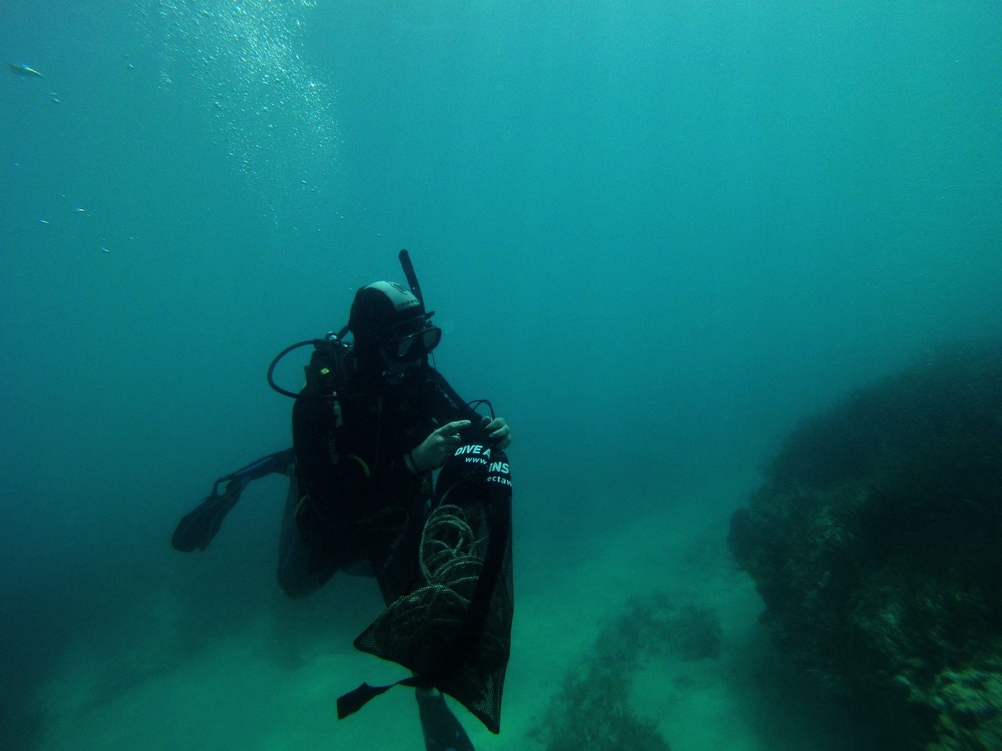
Menu

The Next Wave Submission 1509643327

User Name
Lia
User Email
User Country
PH
Top Issue
leadership
Ocean Lover Type
beach visitor

The Next Wave Submission 1509642572

User Name
Julianne
User Email
User Country
PH
Top Issue
cleanocean
Ocean Lover Type
none of the above

The Next Wave Submission 1509642118

User Name
Julia
User Email
User Country
PH
Top Issue
marineprotection
Ocean Lover Type
none of the above

ADS09 - Rompeolas/Mosquito Pier

3
1
1
1
seagrass
15
30

18.148280137546, -65.513835037127

Our official entrance to the dive site is gone due to both Hurricanes that passed. In the future once we are able we will rebuild it.
Hurricane Maria and following rainstorms wash off from shore and maybe carried from other places underwater.
This was the first time that we were able to dive after the pass of Hurricane Maria through Vieques. We were really happy to see the usual underwater residents in the area, specially after the pier was used as docking base for the USCG as part of the relief efforts for distributing diesel fuel and supplies. There was still many debris we could not take out, because we did not have the equipment on hand. Hopefully we will take it out on our next dive.
Light bulb.
Hurricane/Storm/Rain
Black Beard Sports
Cristina von Essen
5
2
3
1
1
4
1
7
1
2
50.00
57
41.00
21.00
estimated
10591.30
Fishing line
Beer Cans
Plastic bottles
On
pounds
I have debris data to report
10
Smooth (wavelets) for waves 0.1 - 0.5 meter high
Fishing line and bucket
Shrimp
Injured
8
m2
3
1
bucket
Fireworm
Injured
feet
other
3
2
2
1
3
53
1
United States
State\Province
Puerto Rico
City
Vieques
Map Help


Dive Location

If you know your survey site coordinates, enter them manually in decimal degrees using WGS84 Map Datum. Use the minus sign for latitudes south of the equator and longitudes west of the Prime Meridian to 180 degrees.

If you do not know your survey site coordinates, click the “Map Location” tab to use the map to zoom into your survey site and drop the pin on the map to fall within your survey dive site in the water (not on land or the beach). Ensure you zoom in as much as possible to ensure data accuracy.

Entangled Help


Use the vertical tabs below to record any entangled animals you found of each type.

Ecosystem Other
Artificial Reef

ADS339 - Velassaru Caves

6
coral
10

4.1262580254168, 73.438282012939

windy
rainy
cloudy
Immersion Dive Center Velassaru
Henriette Krebs
2
2
2
3
1
3.00
60
20.00
2.00
measured
6000.00
fishing line
On
kilograms
I have debris data to report
Slight for waves 0.5 -1.25 meter high m2
meters
coral reef
Maldives
Map Help


Dive Location

If you know your survey site coordinates, enter them manually in decimal degrees using WGS84 Map Datum. Use the minus sign for latitudes south of the equator and longitudes west of the Prime Meridian to 180 degrees.

If you do not know your survey site coordinates, click the “Map Location” tab to use the map to zoom into your survey site and drop the pin on the map to fall within your survey dive site in the water (not on land or the beach). Ensure you zoom in as much as possible to ensure data accuracy.

Entangled Help


Use the vertical tabs below to record any entangled animals you found of each type.

ADS339 - Velassaru Caves

10

4.126465, 73.4238285

1
coral
20
sunny
Immersion Dive Center Velassaru
Henriette Krebs
2
1.00
60
25.00
2.00
measured
6000.00
fishing line
On
kilograms
I have debris data to report
Smooth (wavelets) for waves 0.1 - 0.5 meter high m2
meters
coral reef
Maldives
Map Help


Dive Location

If you know your survey site coordinates, enter them manually in decimal degrees using WGS84 Map Datum. Use the minus sign for latitudes south of the equator and longitudes west of the Prime Meridian to 180 degrees.

If you do not know your survey site coordinates, click the “Map Location” tab to use the map to zoom into your survey site and drop the pin on the map to fall within your survey dive site in the water (not on land or the beach). Ensure you zoom in as much as possible to ensure data accuracy.

Entangled Help


Use the vertical tabs below to record any entangled animals you found of each type.

boonsung Wreck

8.758, 98.1866

sand
Fishing boats and tourists
Khao Lak Scuba Adventures
Ann Gammage
2
2.00
35
18.00
16.00
estimated
300.00
On
kilograms
I have debris data to report
3
Slight for waves 0.5 -1.25 meter high
2
m2
meters
other
Thailand
State\Province
Phang Nga
City
Takua Pa
Map Help


Dive Location

If you know your survey site coordinates, enter them manually in decimal degrees using WGS84 Map Datum. Use the minus sign for latitudes south of the equator and longitudes west of the Prime Meridian to 180 degrees.

If you do not know your survey site coordinates, click the “Map Location” tab to use the map to zoom into your survey site and drop the pin on the map to fall within your survey dive site in the water (not on land or the beach). Ensure you zoom in as much as possible to ensure data accuracy.

Entangled Help


Use the vertical tabs below to record any entangled animals you found of each type.

Ecosystem Other
Wreck

ADS350 - Easington Beach

20

53.645961, 0.130047

1
sand
3
15
3
Possibly more than usual with recent strong tides in the area
Fishing vessel storage cover
Fairly calm, slight cloud
1
Parasol Umbrella
Fishing vessel storage cover
GM DIving & First Aid Training
Gen MacCallum
1
2
1
2
1
15.00
25
9.00
1.00
3
estimated
1587.00
Fishing line
Drink cans
On
kilograms
I have debris data to report
Moderate to rough for waves greater than 1.25 meters m2
3
meters
other
1
1
3
5
United Kingdom
State\Province
East Yorkshire
City
Easington
Map Help


Dive Location

If you know your survey site coordinates, enter them manually in decimal degrees using WGS84 Map Datum. Use the minus sign for latitudes south of the equator and longitudes west of the Prime Meridian to 180 degrees.

If you do not know your survey site coordinates, click the “Map Location” tab to use the map to zoom into your survey site and drop the pin on the map to fall within your survey dive site in the water (not on land or the beach). Ensure you zoom in as much as possible to ensure data accuracy.

Entangled Help


Use the vertical tabs below to record any entangled animals you found of each type.

Ecosystem Other
Mainly sand

ADS124 - The Gallery

84
25
8
0

-8.36513457, 116.084965

0
0
0
rock
0
35
0
3
0
Metal tool
Wind and rain
1
1
Metal tool
Playing card
7SEAS Dive Gili
Renee Street
3
0
0
2
1
0
0
0
0
3
0
0
3
9
1
0
0
1
12
9
0
0
0
0
1
0
12
0
0
0
0
0
0
0
0
0
16.00
47
17.00
9.00
0
measured
0
0
0
0
7500.00
0
0
0
0
0
Food wrappers
Plastic bags retail
Plastic fragments
0
On
kilograms
0
I have debris data to report
0
0
0
Smooth (wavelets) for waves 0.1 - 0.5 meter high
0
0
0
Burlap bag
Arrow Crab
Released Unharmed
4
0
0
0
14
m2
0
1
meters
coral reef
0
0
1
0
0
1
0
0
0
2
0
0
0
0
0
0
0
2
0
0
0
0
2
0
0
0
1
0
0
Indonesia
State\Province
Lombok
City
Gili Air
Map Help


Dive Location

If you know your survey site coordinates, enter them manually in decimal degrees using WGS84 Map Datum. Use the minus sign for latitudes south of the equator and longitudes west of the Prime Meridian to 180 degrees.

If you do not know your survey site coordinates, click the “Map Location” tab to use the map to zoom into your survey site and drop the pin on the map to fall within your survey dive site in the water (not on land or the beach). Ensure you zoom in as much as possible to ensure data accuracy.

Entangled Help


Use the vertical tabs below to record any entangled animals you found of each type.

South Bay

2

12.16564960133, 109.30865390226

sand
1

12.16564960133, 109.30865390226

The 55 gallons drum
Windy and some rain
Sailing Club DIvers
Nicolas Martin
4
18.00
50
17.00
7.00
3
estimated
1000.00
Plastic debris: fisherman drop all their rubbish into sea...
Fishing net/line: stuck on reef and left there, still capturing some fish from time to time...
On
kilograms
I have debris data to report
3
Smooth (wavelets) for waves 0.1 - 0.5 meter high
4
m2
meters
coral reef
1
1
Vietnam
City
Nha Trang
Map Help


Dive Location

If you know your survey site coordinates, enter them manually in decimal degrees using WGS84 Map Datum. Use the minus sign for latitudes south of the equator and longitudes west of the Prime Meridian to 180 degrees.

If you do not know your survey site coordinates, click the “Map Location” tab to use the map to zoom into your survey site and drop the pin on the map to fall within your survey dive site in the water (not on land or the beach). Ensure you zoom in as much as possible to ensure data accuracy.

Entangled Help


Use the vertical tabs below to record any entangled animals you found of each type.

Subscribe to