Menu

Point Panic, Oahu, HI

5
5
0

21.290501, -157.86068

0
0
0
sand
0
2
0
26
0
Human carelessness
Spark plug
Calm
0
0
0
0
0
0
0
0
0
0
0
0
0
0
0
0
0
0
0
0
Dive Oahu
Bruni Bradley
0
0
0
1
0
0
0
0
0
0
0
0
0
0
0
0
0
1
0
3
0
0
0
0
1
0
0
0
1
0
0
0
0
0
12.00
32
30.00
3.00
0
measured
0
16
7199.98
0
0
0
0
0
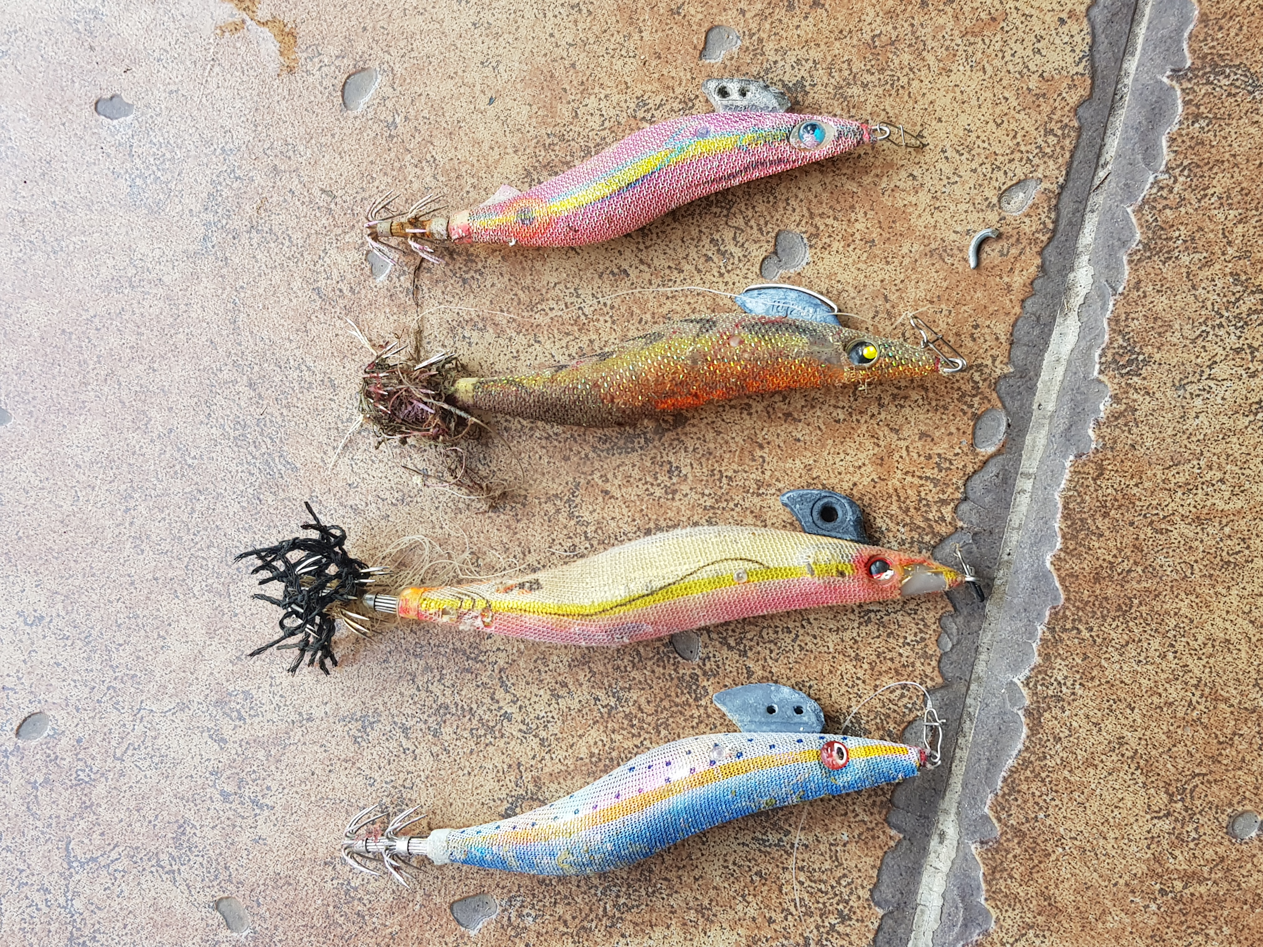
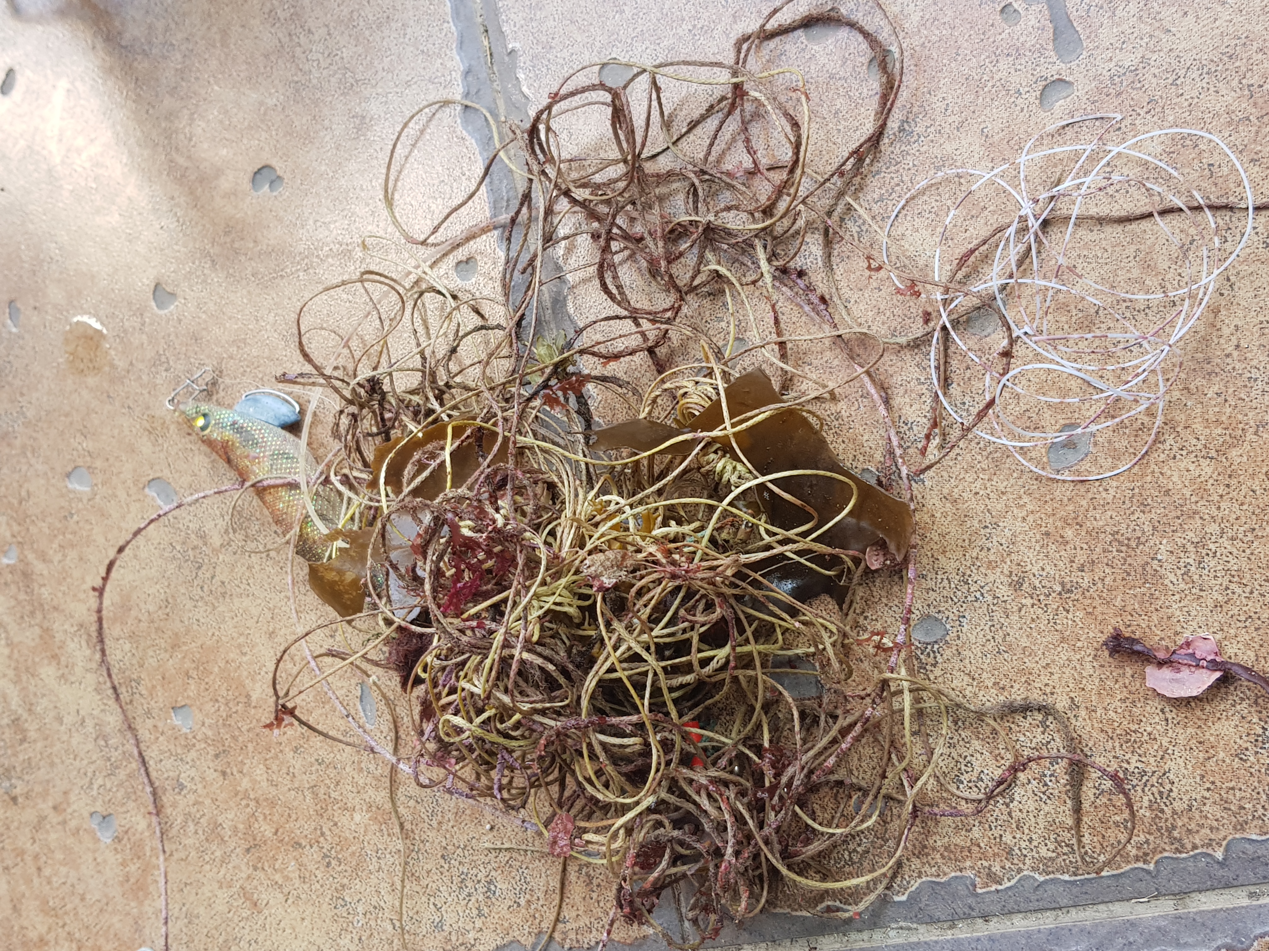
Fishing line
Fishing weights with barba
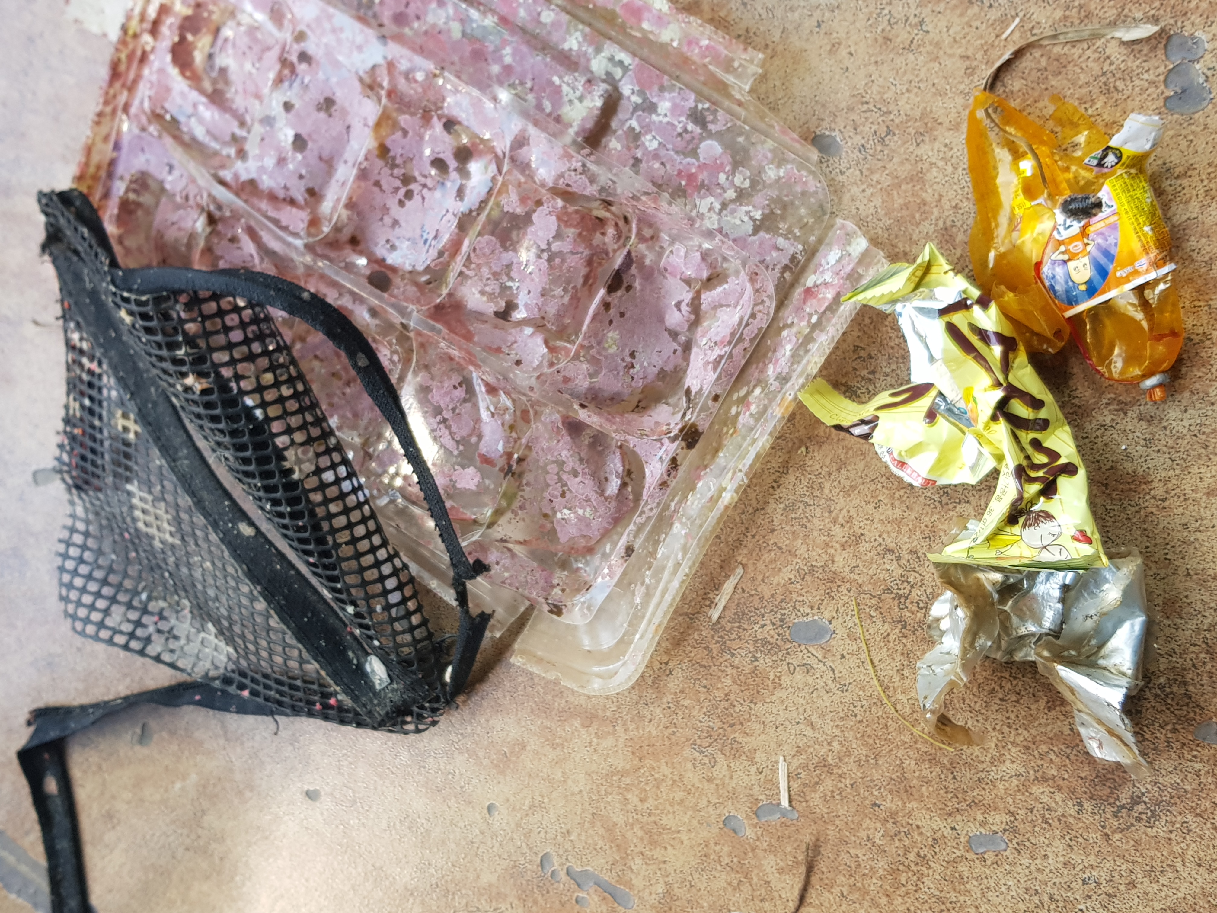
Plastic
0
On
pounds
0
I have debris data to report
2
0
0
Smooth (wavelets) for waves 0.1 - 0.5 meter high
0
0
0
0
0
0
0
m2
0
0
meters
coral reef
2
0
0
0
0
0
0
0
0
0
0
0
2
0
2
0
0
0
0
0
0
0
0
0
0
0
0
0
United States
State\Province
Hi
City
Honolulu
Map Help


Dive Location

If you know your survey site coordinates, enter them manually in decimal degrees using WGS84 Map Datum. Use the minus sign for latitudes south of the equator and longitudes west of the Prime Meridian to 180 degrees.

If you do not know your survey site coordinates, click the “Map Location” tab to use the map to zoom into your survey site and drop the pin on the map to fall within your survey dive site in the water (not on land or the beach). Ensure you zoom in as much as possible to ensure data accuracy.

Entangled Help


Use the vertical tabs below to record any entangled animals you found of each type.

Atmosphere house reef

sand

9.1595311915586, 123.24490973357

atmosphere resorts and spa
li feng jun
7
6
2
0.20
39
17.80
5.00
measured
100.00
On
kilograms
I have debris data to report
Slight for waves 0.5 -1.25 meter high
2
m2
meters
coral reef
Philippines
State\Province
negros
City
dauin
Map Help


Dive Location

If you know your survey site coordinates, enter them manually in decimal degrees using WGS84 Map Datum. Use the minus sign for latitudes south of the equator and longitudes west of the Prime Meridian to 180 degrees.

If you do not know your survey site coordinates, click the “Map Location” tab to use the map to zoom into your survey site and drop the pin on the map to fall within your survey dive site in the water (not on land or the beach). Ensure you zoom in as much as possible to ensure data accuracy.
Entangled Help


Use the vertical tabs below to record any entangled animals you found of each type.

Coral Garden

1
1

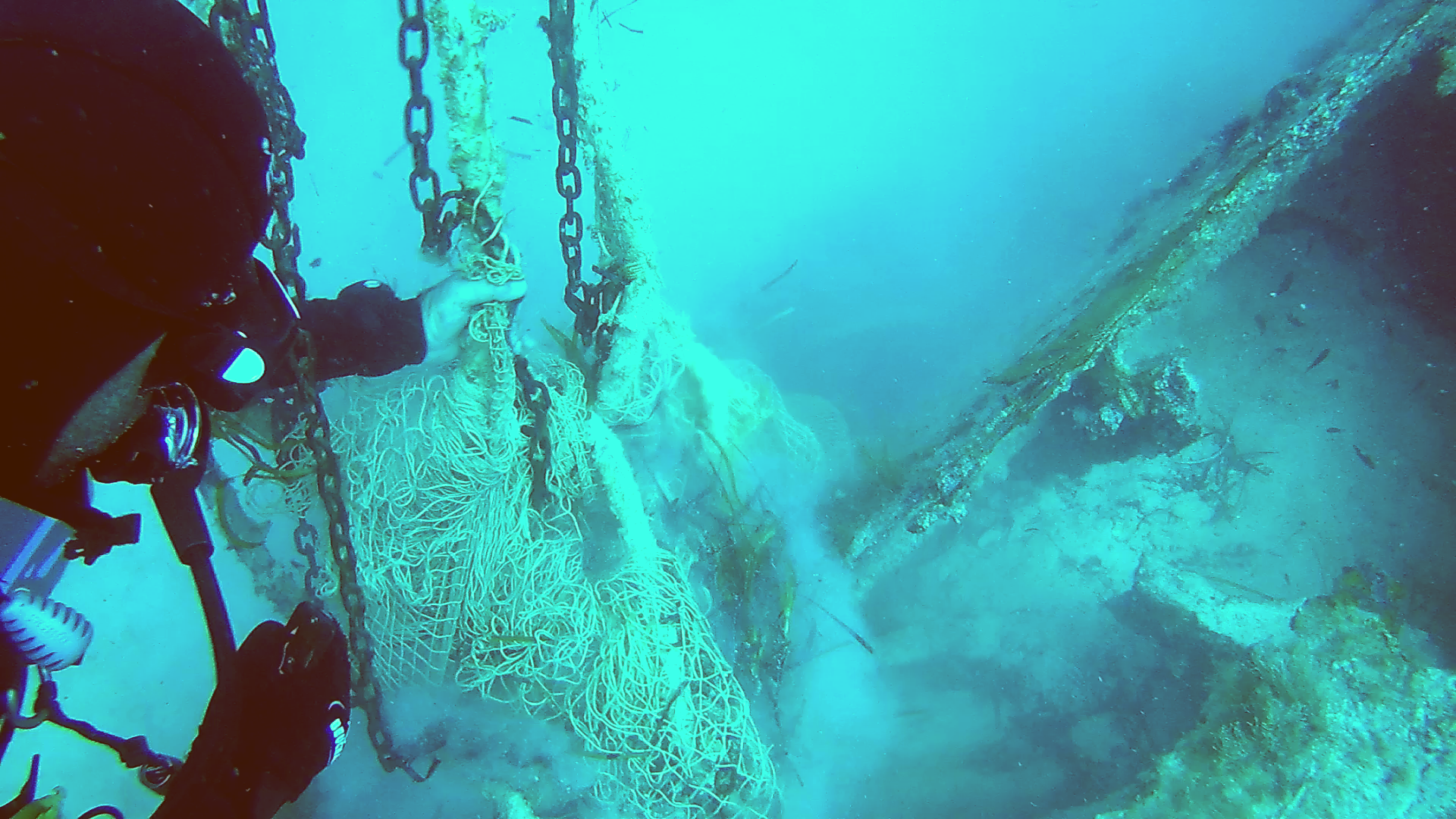
12.164041097918, 109.29979733191

coral
2
1
Cloudy weather with moderate wind and slight rain
Sailing Club Divers
Nicolas Martin
5
2.00
48
12.00
5.00
5
estimated
450.00
On
kilograms
I have debris data to report
Calm (glassy to rippled) for waves 0 – 0.1 meter high
3
m2
meters
coral reef
4
1
Vietnam
State\Province
Khanh Hoa
City
Nha Trang
Map Help


Dive Location

If you know your survey site coordinates, enter them manually in decimal degrees using WGS84 Map Datum. Use the minus sign for latitudes south of the equator and longitudes west of the Prime Meridian to 180 degrees.

If you do not know your survey site coordinates, click the “Map Location” tab to use the map to zoom into your survey site and drop the pin on the map to fall within your survey dive site in the water (not on land or the beach). Ensure you zoom in as much as possible to ensure data accuracy.
Entangled Help


Use the vertical tabs below to record any entangled animals you found of each type.

ADS367 - PADI Beach

5
6
30

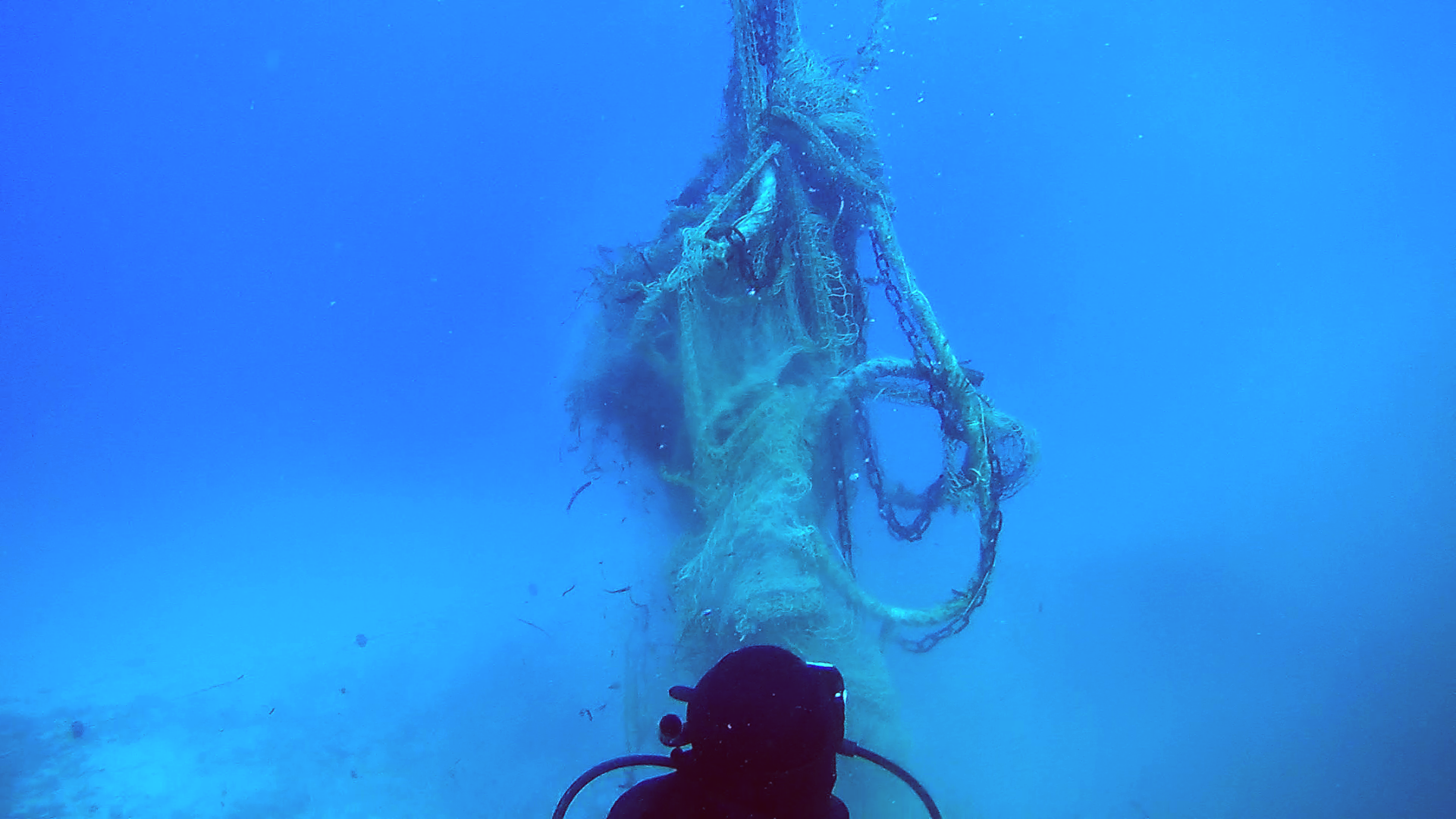
12.169492, 109.307799

coral
12
54
2
Typhoon Damrey early November 2017 and prevailing winds/current from North during the rainy season
Cloudy weather with moderate wind and slight rain
Sailing Club Divers
Nicolas Martin
-1
6
1
20.00
57
12.00
1.00
40
estimated
700.00
On
kilograms
I have debris data to report
Smooth (wavelets) for waves 0.1 - 0.5 meter high
14
m2
meters
coral reef
1
Vietnam
State\Province
Khanh Hoa
City
Nha Trang
Map Help


Dive Location

If you know your survey site coordinates, enter them manually in decimal degrees using WGS84 Map Datum. Use the minus sign for latitudes south of the equator and longitudes west of the Prime Meridian to 180 degrees.

If you do not know your survey site coordinates, click the “Map Location” tab to use the map to zoom into your survey site and drop the pin on the map to fall within your survey dive site in the water (not on land or the beach). Ensure you zoom in as much as possible to ensure data accuracy.
Entangled Help


Use the vertical tabs below to record any entangled animals you found of each type.

Landrovågen

1
sand

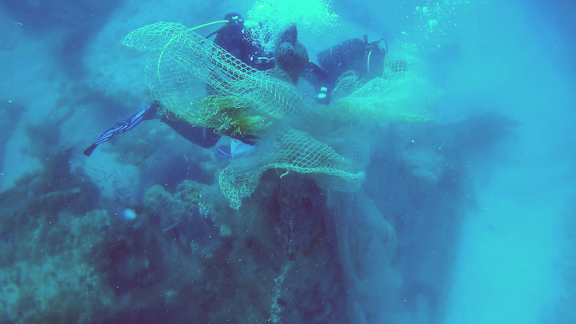
60.423117185994, 4.9581384658813

glass bottles
Divetobiassen
Bjørnstein Tobiassen
1
2
3.00
20
20.00
10.00
estimated
312.00
1
glass bottles
On
kilograms
I have debris data to report
8
Calm (glassy to rippled) for waves 0 – 0.1 meter high m2
meters
kelp
1
Norway
State\Province
Hordaland
City
Bergen
Map Help


Dive Location

If you know your survey site coordinates, enter them manually in decimal degrees using WGS84 Map Datum. Use the minus sign for latitudes south of the equator and longitudes west of the Prime Meridian to 180 degrees.

If you do not know your survey site coordinates, click the “Map Location” tab to use the map to zoom into your survey site and drop the pin on the map to fall within your survey dive site in the water (not on land or the beach). Ensure you zoom in as much as possible to ensure data accuracy.
Entangled Help


Use the vertical tabs below to record any entangled animals you found of each type.

King Beach Boat Ramp

0
0
0
0

-26.802672, 153.145834

0
0
0
rock
0
0
0
0
0
No
Frisbee
Sunny
1
1
Frisbee
Swimming goggles
Sunshine Coast Clean Up Divers
Elliot Peters
0
0
0
0
0
0
0
0
0
0
0
0
0
0
0
0
0
0
0
3
0
0
0
0
0
1
0
0
0
0
0
0
0
0
0
0
3.00
90
6.00
3.00
0
estimated
0
0
0
0
1007.95
0
0
0
1
0
Large container
0
On
kilograms
0
I have debris data to report
0
0
0
Smooth (wavelets) for waves 0.1 - 0.5 meter high
0
0
0
0
1
0
0
m2
0
0
meters
rocky reef
0
0
0
0
0
0
0
0
0
0
0
0
0
0
0
0
0
2
0
0
0
0
0
0
0
0
0
0
0
Australia
State\Province
Queensland
City
Kings Beach
Map Help


Dive Location

If you know your survey site coordinates, enter them manually in decimal degrees using WGS84 Map Datum. Use the minus sign for latitudes south of the equator and longitudes west of the Prime Meridian to 180 degrees.

If you do not know your survey site coordinates, click the “Map Location” tab to use the map to zoom into your survey site and drop the pin on the map to fall within your survey dive site in the water (not on land or the beach). Ensure you zoom in as much as possible to ensure data accuracy.

Entangled Help


Use the vertical tabs below to record any entangled animals you found of each type.

ADS391 - Cala Cortina

5
59
1
1
sand
6
5

37.580399085499, -0.97542319446802

Strong onshore winds for 3 days then calm for the previous 2 days before the survey
Dive Academy Santa Pola
Amanda Perry
2
2
4
3
3
3
8
1
2
3
5
10.00
62
8.70
1.00
measured
2
700.00
1
2
plastic
aluminium cans
fishing lines
1
On
kilograms
I have debris data to report
Calm (glassy to rippled) for waves 0 – 0.1 meter high
1
10
m2
5
meters
rocky reef
1
2
2
4
1
1
28
1
Spain
State\Province
Alicante
City
Santa Pola
Map Help


Dive Location

If you know your survey site coordinates, enter them manually in decimal degrees using WGS84 Map Datum. Use the minus sign for latitudes south of the equator and longitudes west of the Prime Meridian to 180 degrees.

If you do not know your survey site coordinates, click the “Map Location” tab to use the map to zoom into your survey site and drop the pin on the map to fall within your survey dive site in the water (not on land or the beach). Ensure you zoom in as much as possible to ensure data accuracy.
Entangled Help


Use the vertical tabs below to record any entangled animals you found of each type.

ADS88 - Dive Bus House Reef

1
3
0
0

12.090103, -68.904704

0
0
0
coral
0
0
0
3
0
The Dive Bus
Bor
0
1
0
0
0
0
0
0
0
0
0
0
0
0
0
0
0
0
0
2
0
0
0
0
0
0
0
0
0
0
0
0
0
0
0
0
2.00
52
65.00
3.00
0
measured
0
0
0
0
8034.00
0
0
0
0
0
Fishing line
0
On
kilograms
0
I have debris data to report
1
0
0
Smooth (wavelets) for waves 0.1 - 0.5 meter high
0
0
0
0
3
0
0
m2
0
0
feet
coral reef
1
0
0
0
0
1
0
0
0
0
0
0
0
0
0
0
0
0
0
0
0
0
1
0
0
0
0
0
0
Netherlands Antilles
State\Province
Curacao
Map Help


Dive Location

If you know your survey site coordinates, enter them manually in decimal degrees using WGS84 Map Datum. Use the minus sign for latitudes south of the equator and longitudes west of the Prime Meridian to 180 degrees.

If you do not know your survey site coordinates, click the “Map Location” tab to use the map to zoom into your survey site and drop the pin on the map to fall within your survey dive site in the water (not on land or the beach). Ensure you zoom in as much as possible to ensure data accuracy.
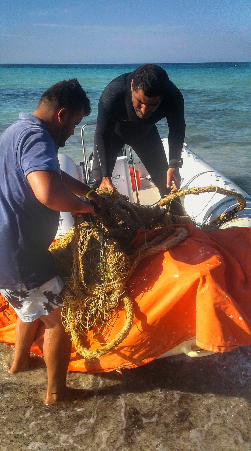
Entangled Help


Use the vertical tabs below to record any entangled animals you found of each type.

ADS305 - House Reef

2
sand
5

28.14064529895, -16.439151763916

Should be more signs that this is a MPA and no fishing allowed, but after several aoccasions of vandalism, these signs are no lomger being replaced by the government
campers over the weekend
Should be more signs that this is a MPA and no fishing allowed, but after several aoccasions of vandalism, these signs are no lomger being replaced by the government
sandel
Windy and Warm
Tenerife Diving Adademy
Anthony
1
6
0.85
25
7.00
3.00
measured
6
500.00
Fishing line
Plastic bottles
Plastic fragments
On
kilograms
I have debris data to report
Smooth (wavelets) for waves 0.1 - 0.5 meter high
1
m2
meters
rocky reef
1
1
Spain
State\Province
Arico
City
Abades
Map Help


Dive Location

If you know your survey site coordinates, enter them manually in decimal degrees using WGS84 Map Datum. Use the minus sign for latitudes south of the equator and longitudes west of the Prime Meridian to 180 degrees.

If you do not know your survey site coordinates, click the “Map Location” tab to use the map to zoom into your survey site and drop the pin on the map to fall within your survey dive site in the water (not on land or the beach). Ensure you zoom in as much as possible to ensure data accuracy.
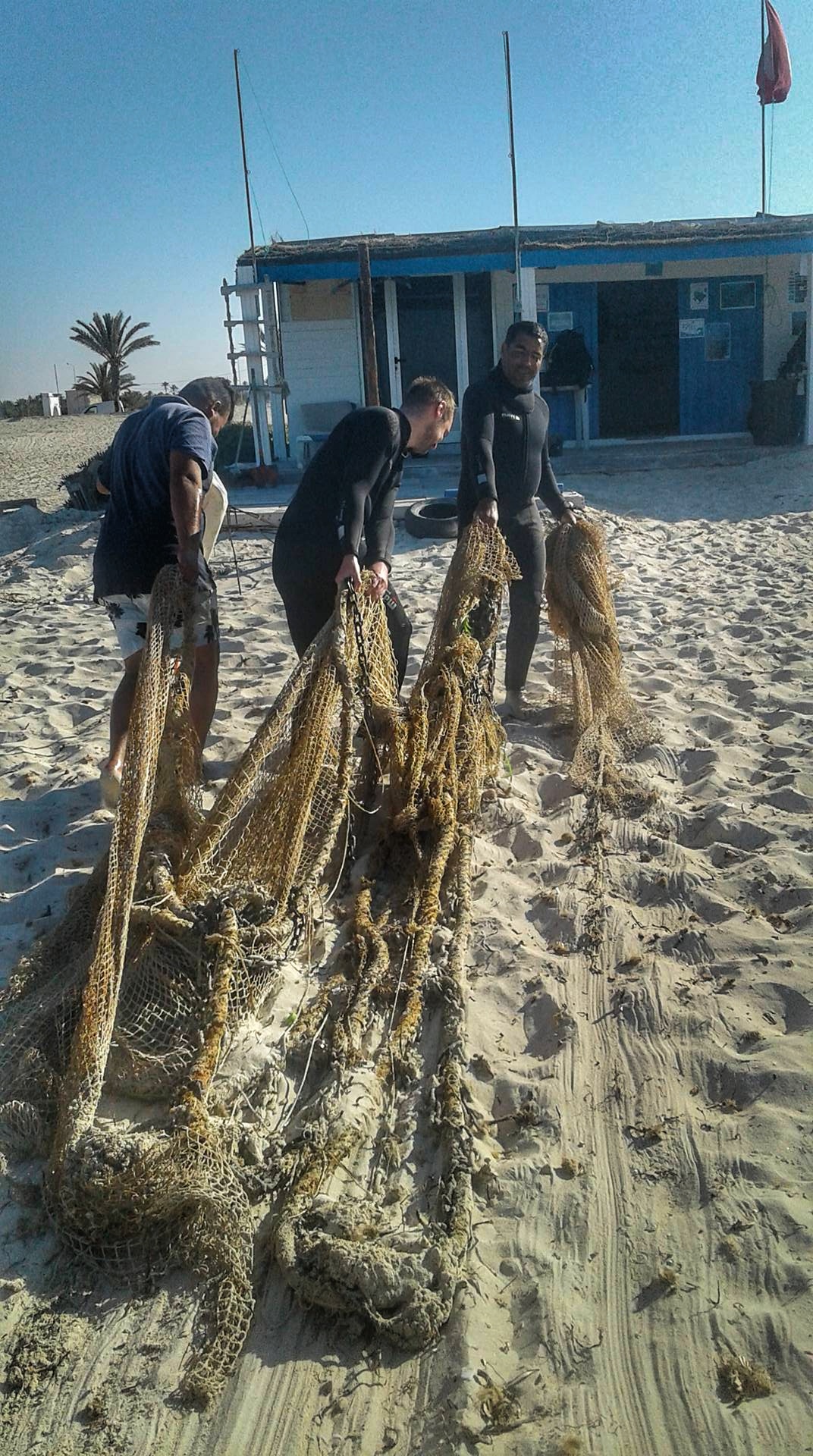
Entangled Help


Use the vertical tabs below to record any entangled animals you found of each type.

ADS388 - Palancar Bricks

1
0
0
0

20.391944, -87.181111

0
0
0
coral
0
4
0
0
0
North winds bring a lot of trash to our area... I removed over 2 pounds of plastic from the surface. I don't fully understand why plastic on the surface of our oceans isn't included in the site surveys.
Strong north winds, port closed to all water sports and craft 5 of last 7 days
Dive GalaxSea Cozumel
Kim Rogers
0
0
0
0
0
0
0
0
0
0
0
0
0
1
0
0
0
0
0
3
0
0
0
0
0
0
0
0
0
0
0
0
0
0
0
0
0.10
40
90.00
10.00
0
estimated
0
0
0
0
100.00
0
0
0
0
0
0
On
pounds
0
I have debris data to report
0
0
0
Smooth (wavelets) for waves 0.1 - 0.5 meter high
0
0
0
0
0
0
0
m2
0
0
feet
coral reef
0
0
0
0
0
0
0
0
0
0
0
0
0
0
0
0
0
0
0
0
0
0
0
0
0
0
0
0
0
Mexico
State\Province
Quintana Roo
City
Cozumel
Map Help


Dive Location

If you know your survey site coordinates, enter them manually in decimal degrees using WGS84 Map Datum. Use the minus sign for latitudes south of the equator and longitudes west of the Prime Meridian to 180 degrees.

If you do not know your survey site coordinates, click the “Map Location” tab to use the map to zoom into your survey site and drop the pin on the map to fall within your survey dive site in the water (not on land or the beach). Ensure you zoom in as much as possible to ensure data accuracy.
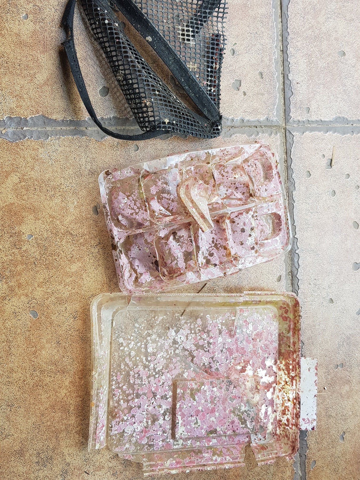
Entangled Help


Use the vertical tabs below to record any entangled animals you found of each type.

Subscribe to