St Georges Island
34.906555555556, 32.321347222222
35.04092, 32.393906
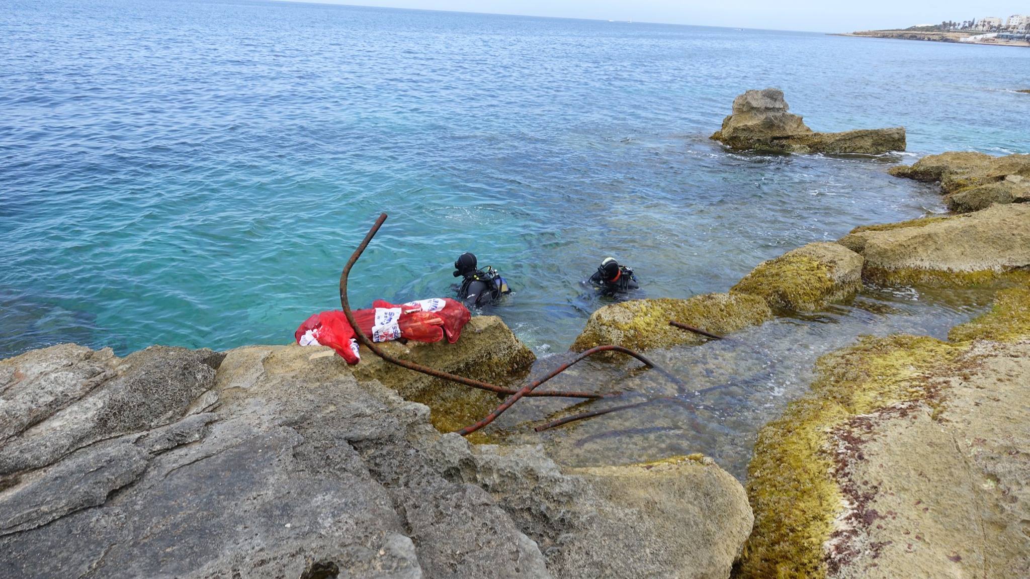
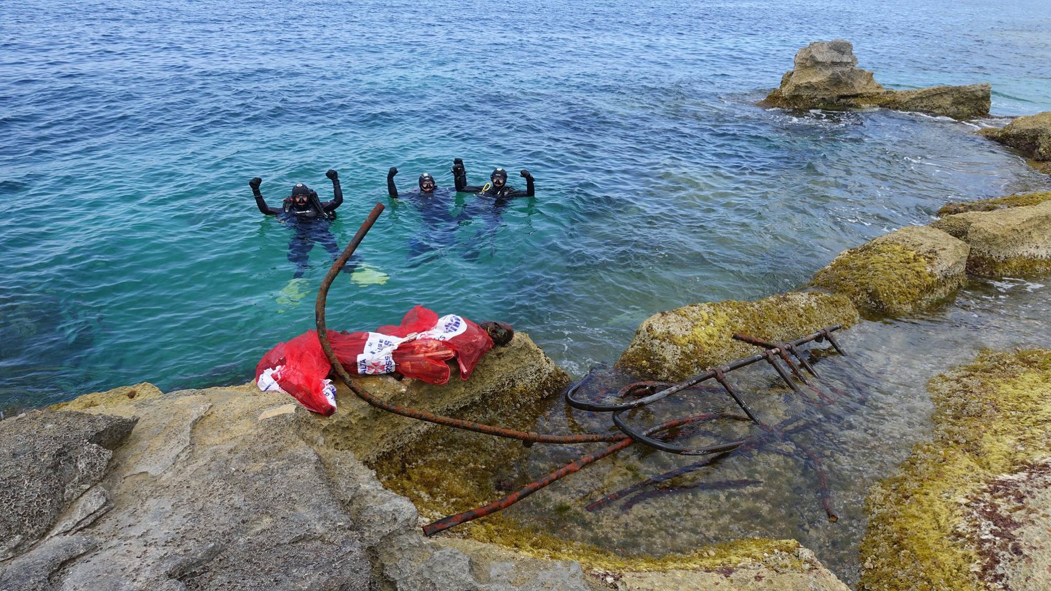
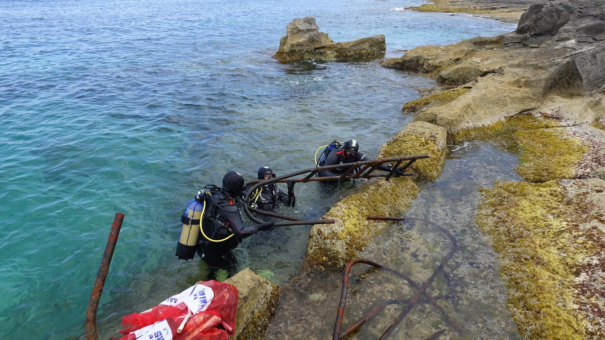
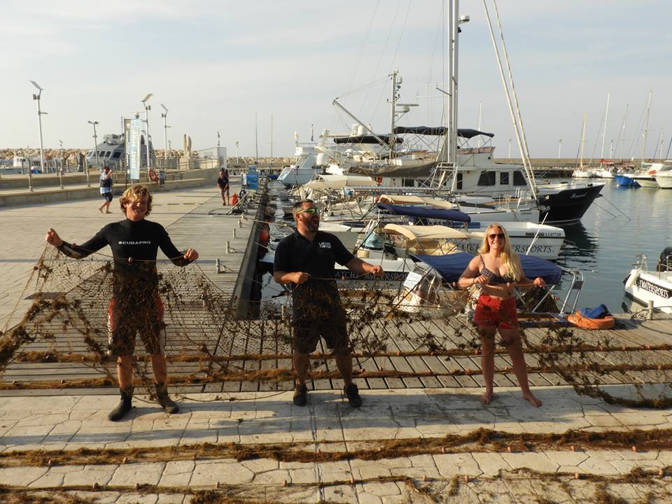
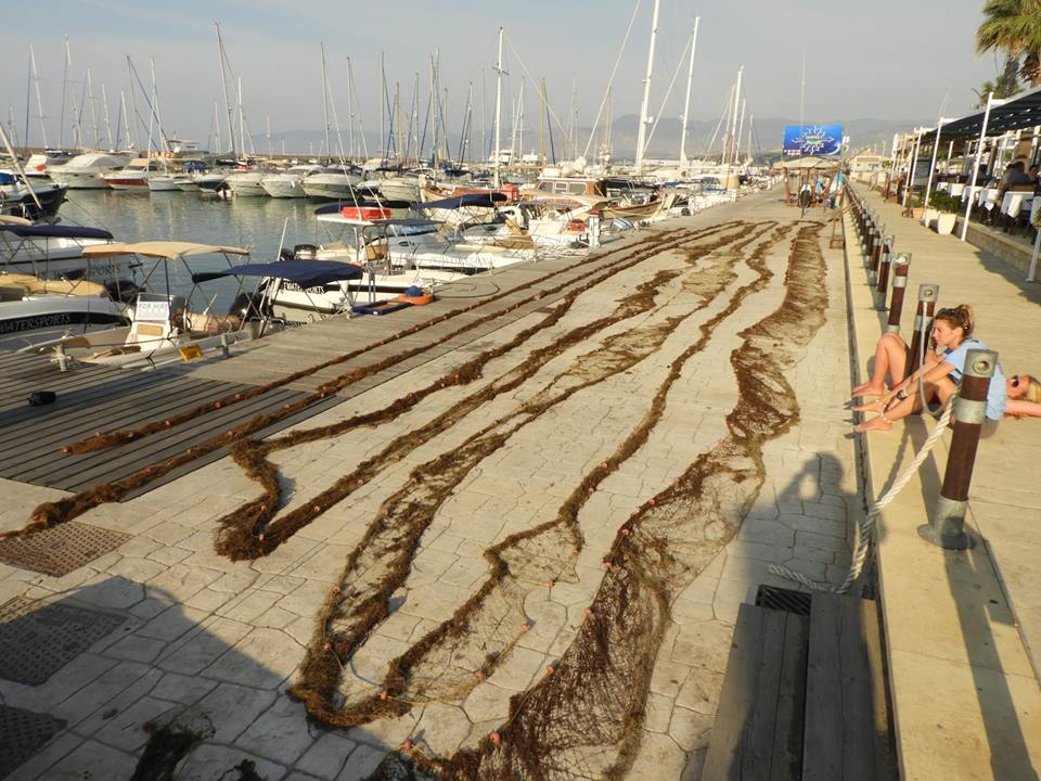
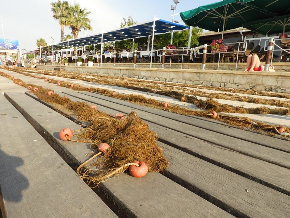
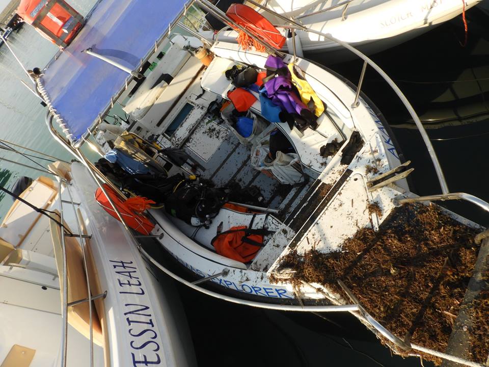
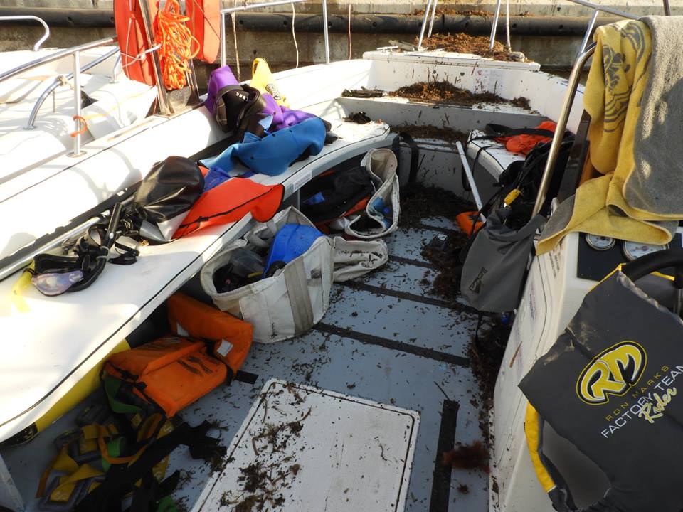
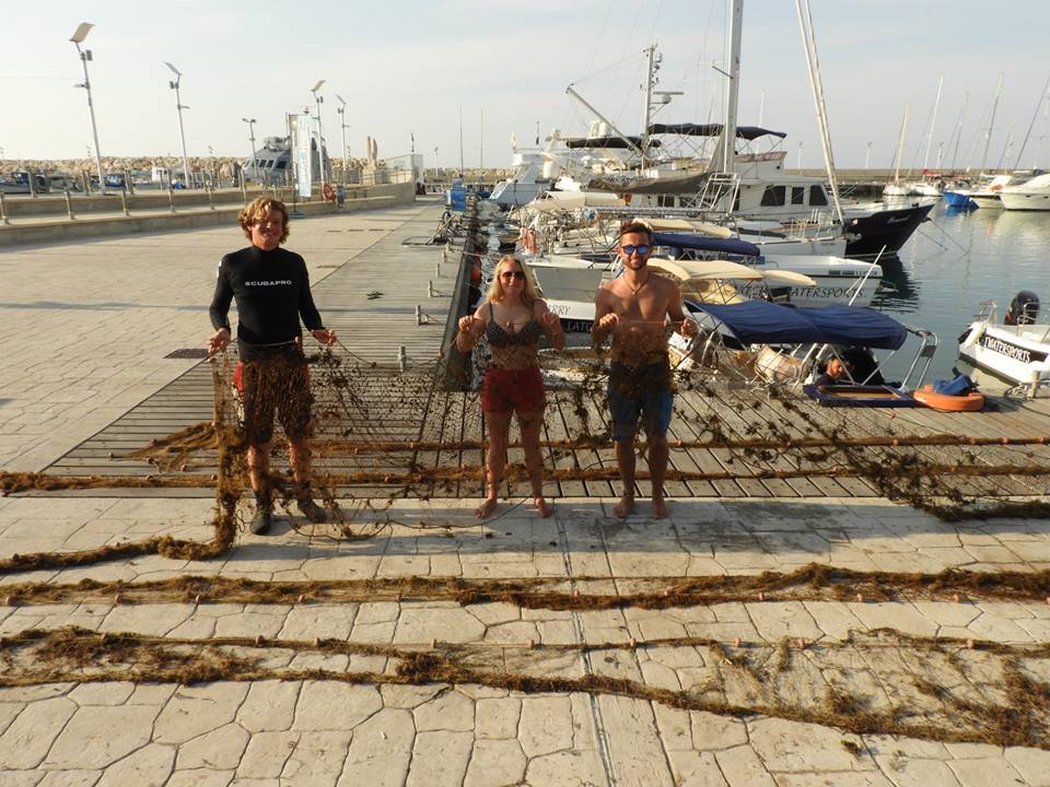
Large 700ft fishing net. Lead weighted rope + small buoys.
1
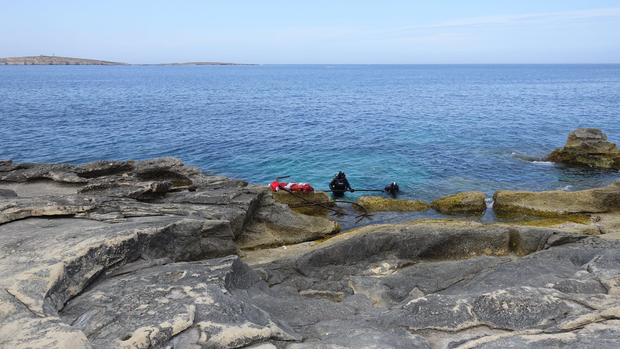
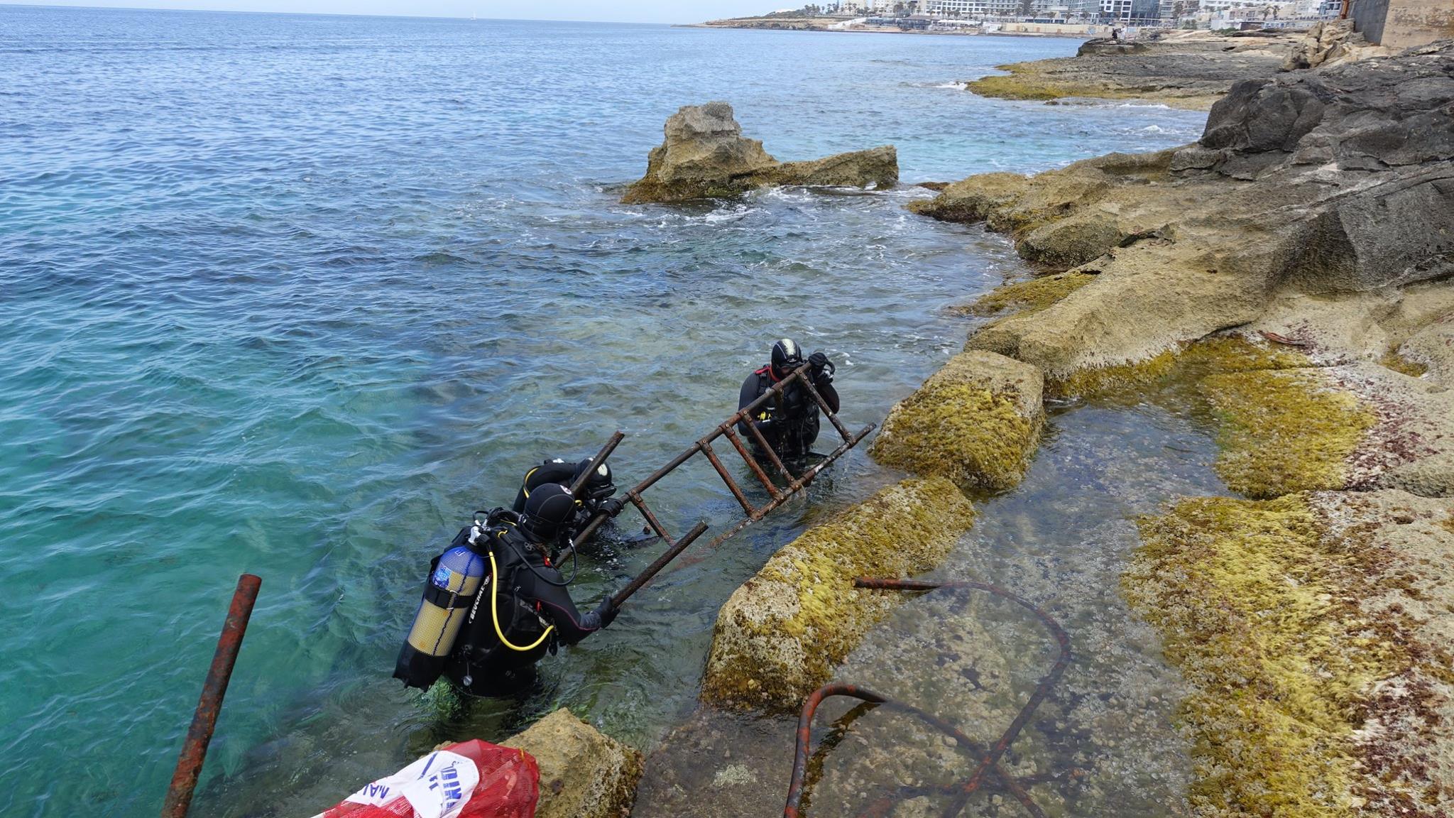
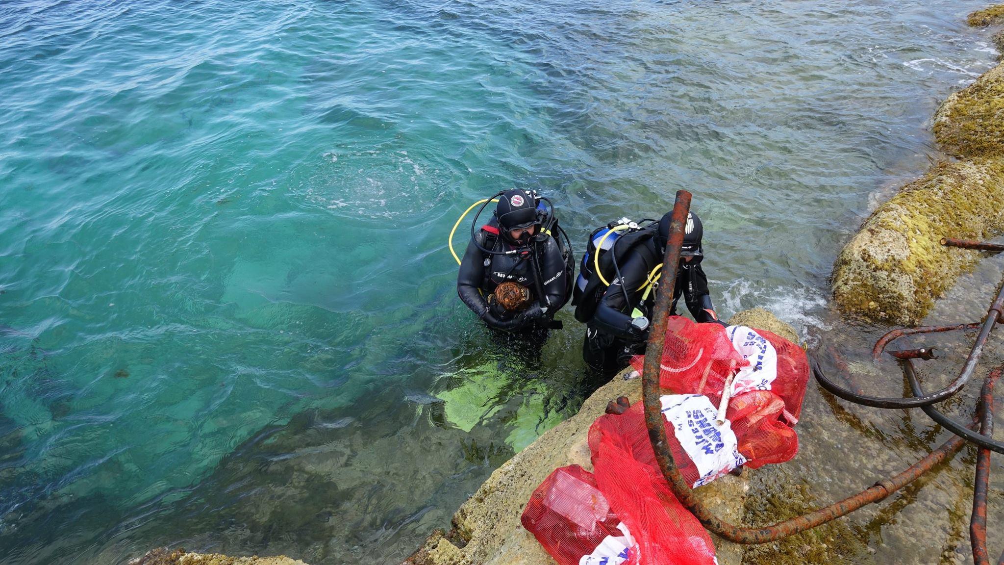
Lead Weighted Fishing net
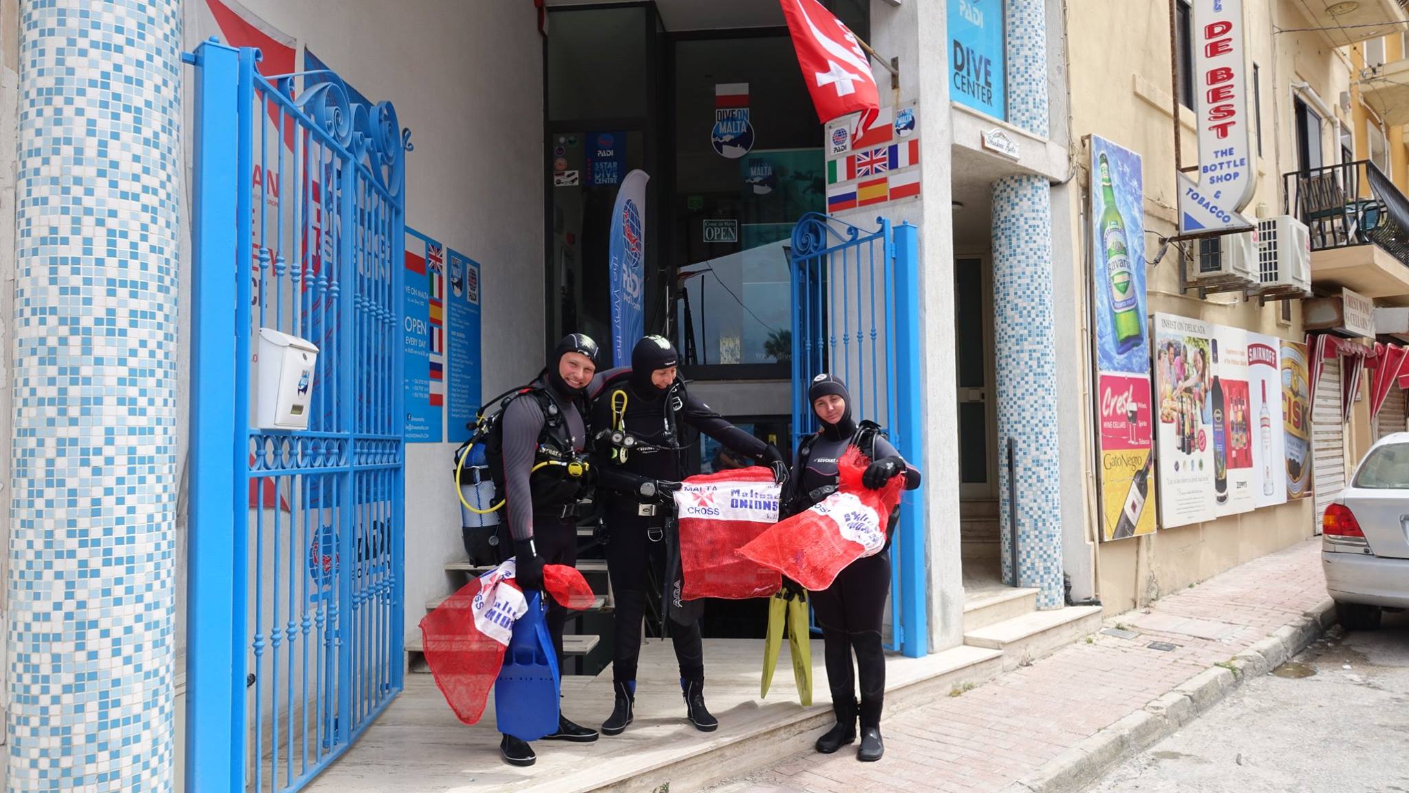
Latchi Dive Centre
Johnny H
3
495.00
62
40.00
19.00
estimated
320.00
On
kilograms
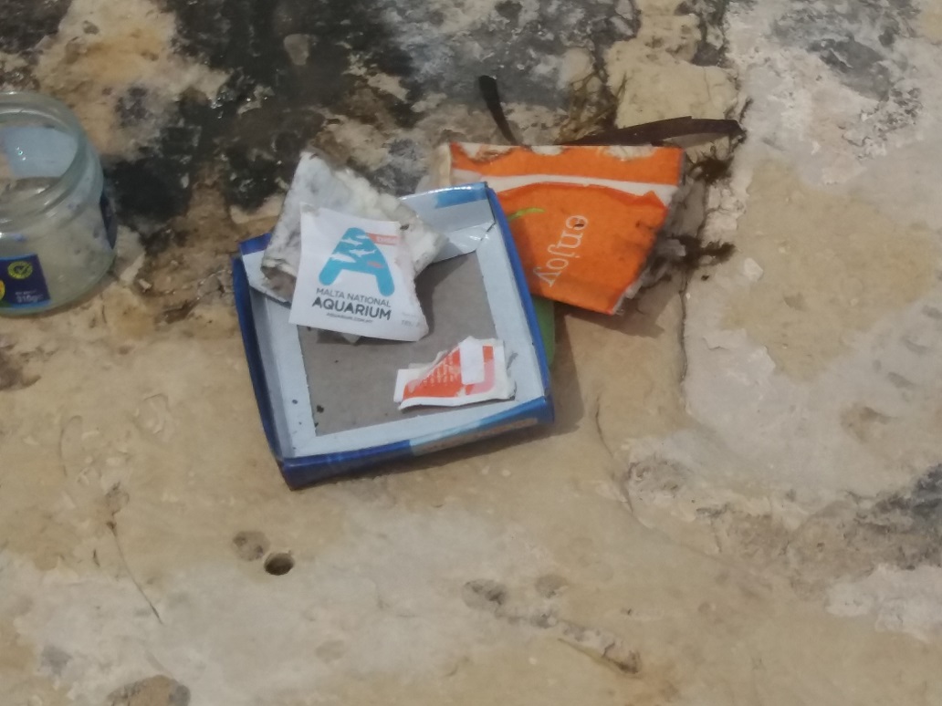
I have debris data to report
Smooth (wavelets) for waves 0.1 - 0.5 meter high
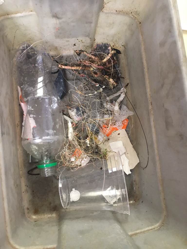
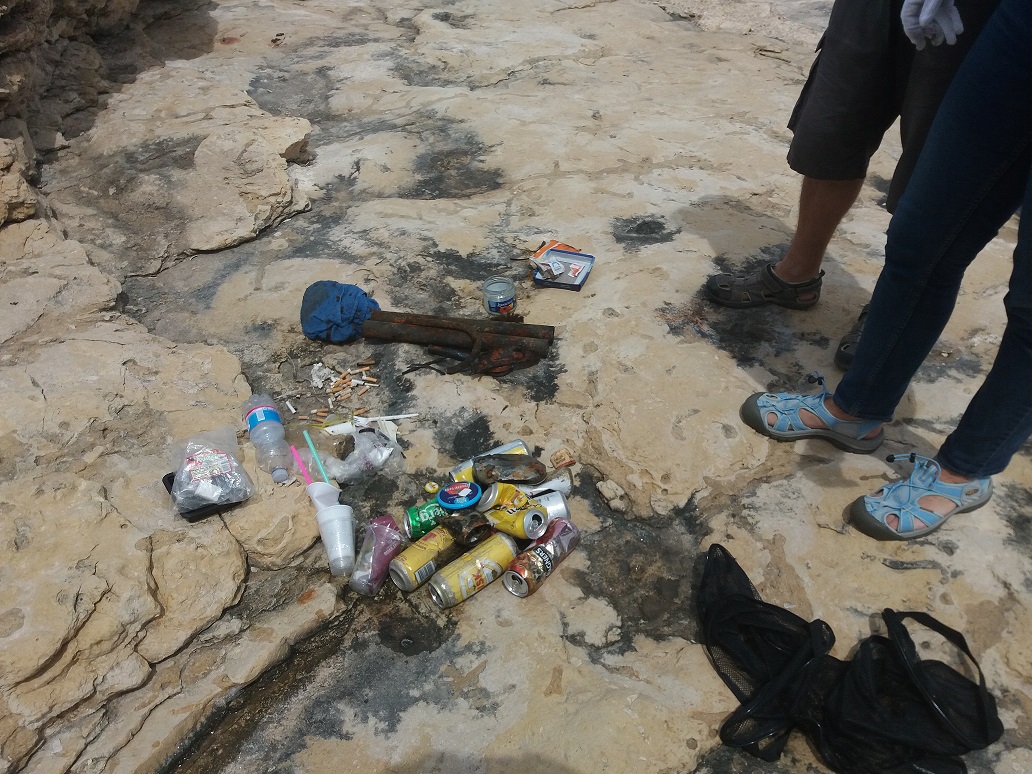
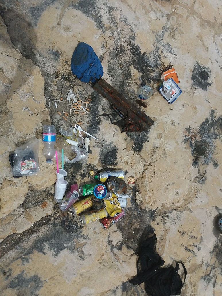
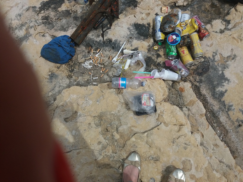
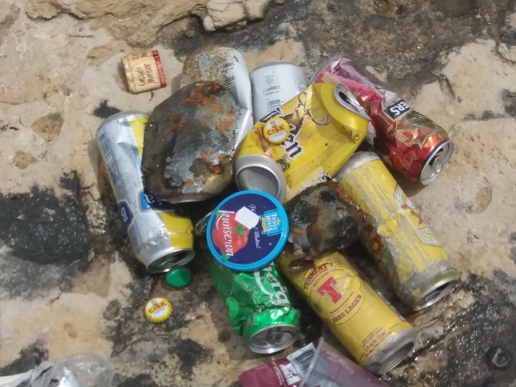
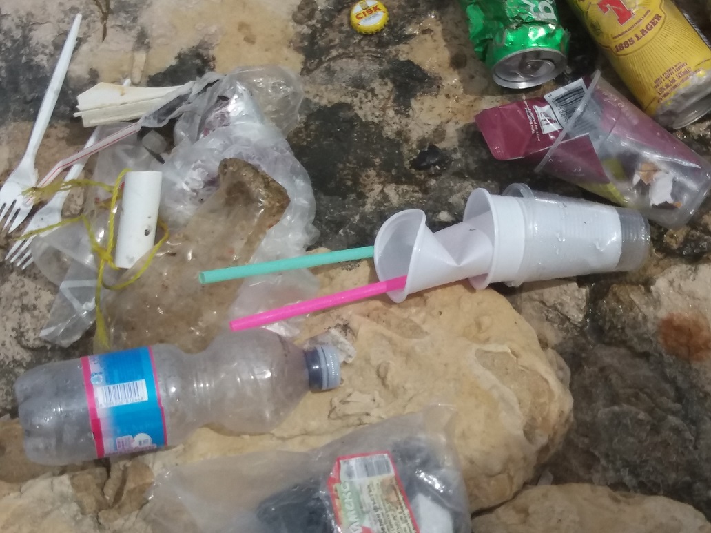
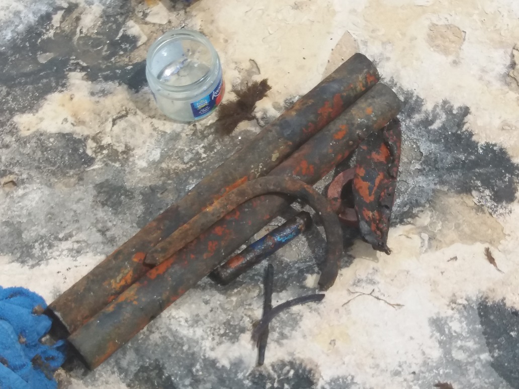
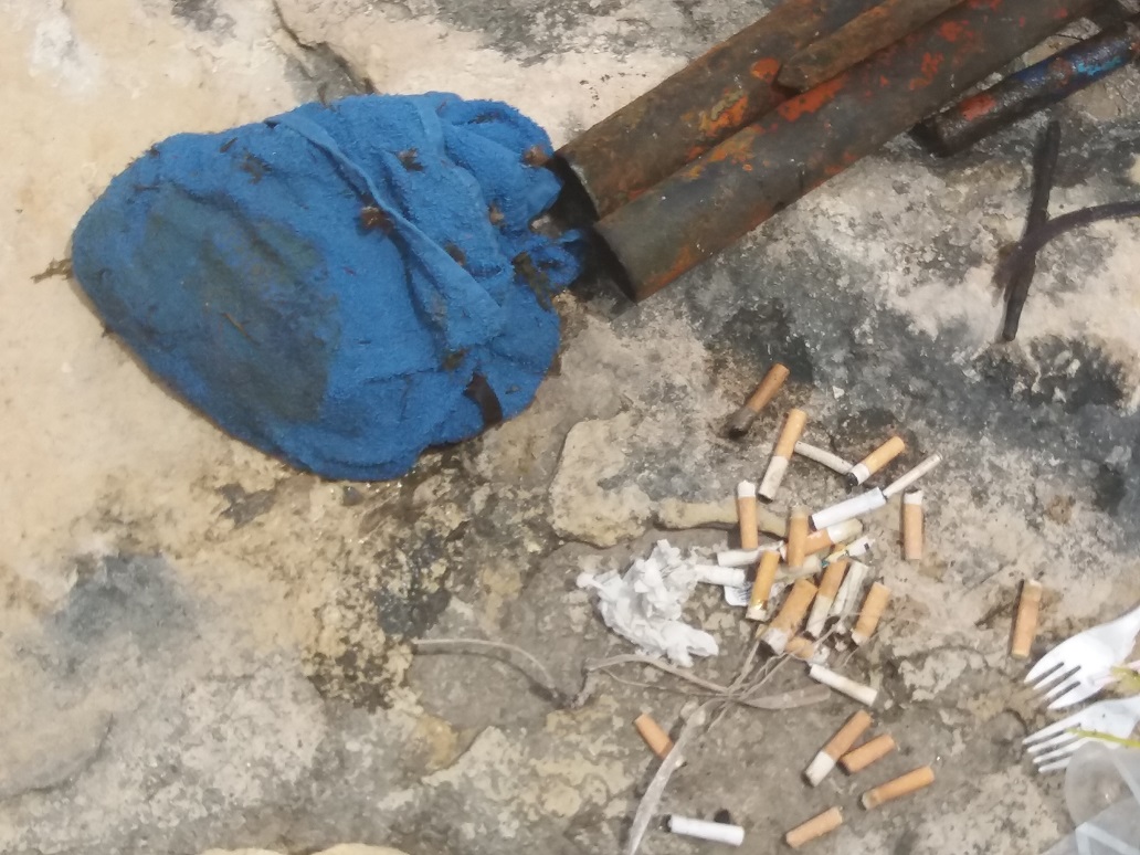
Fishing net
Slipper Lobster
Released Unharmed
14
m2
8
Fishing Net
Common Crab
Injured
meters
seagrass
City
Latchi
Map Help
Dive Location
If you know your survey site coordinates, enter them manually in decimal degrees using WGS84 Map Datum. Use the minus sign for latitudes south of the equator and longitudes west of the Prime Meridian to 180 degrees.
If you do not know your survey site coordinates, click the “Map Location” tab to use the map to zoom into your survey site and drop the pin on the map to fall within your survey dive site in the water (not on land or the beach). Ensure you zoom in as much as possible to ensure data accuracy.
Entangled Help