Menu

ADS151 - Carlisle Bay

12
30
5

13.0919915, -59.6131468

2
sand
9
4

13.093681196867, -59.613599254377

12ft pvc pipe
Water has been murkier than usual and bottom is covered in sargassum seaweed.
Barbados Blue
Andre Miller
2
5
3
10
2
12
2
48.00
60
10.00
5.00
8
estimated
1
1
100.00
2
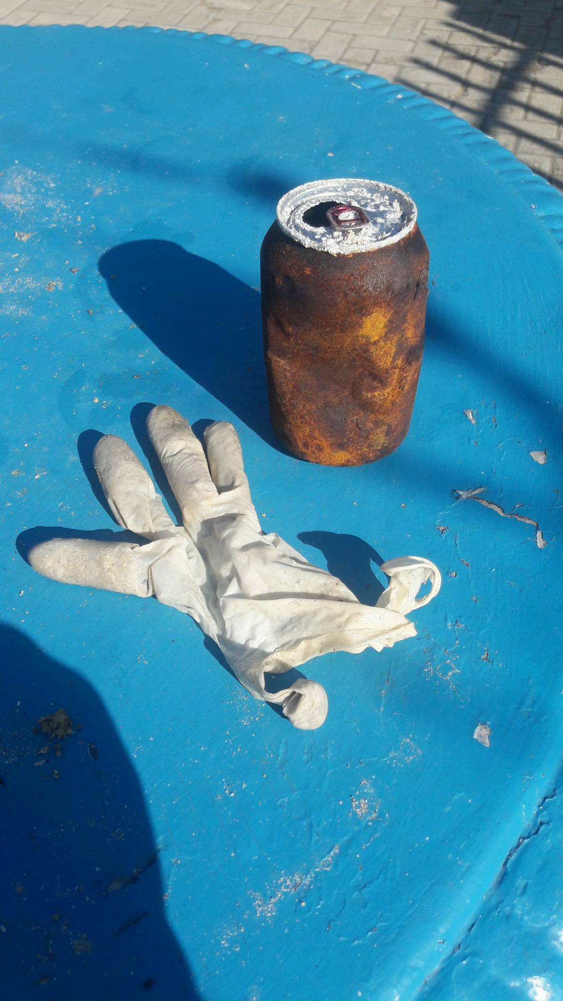
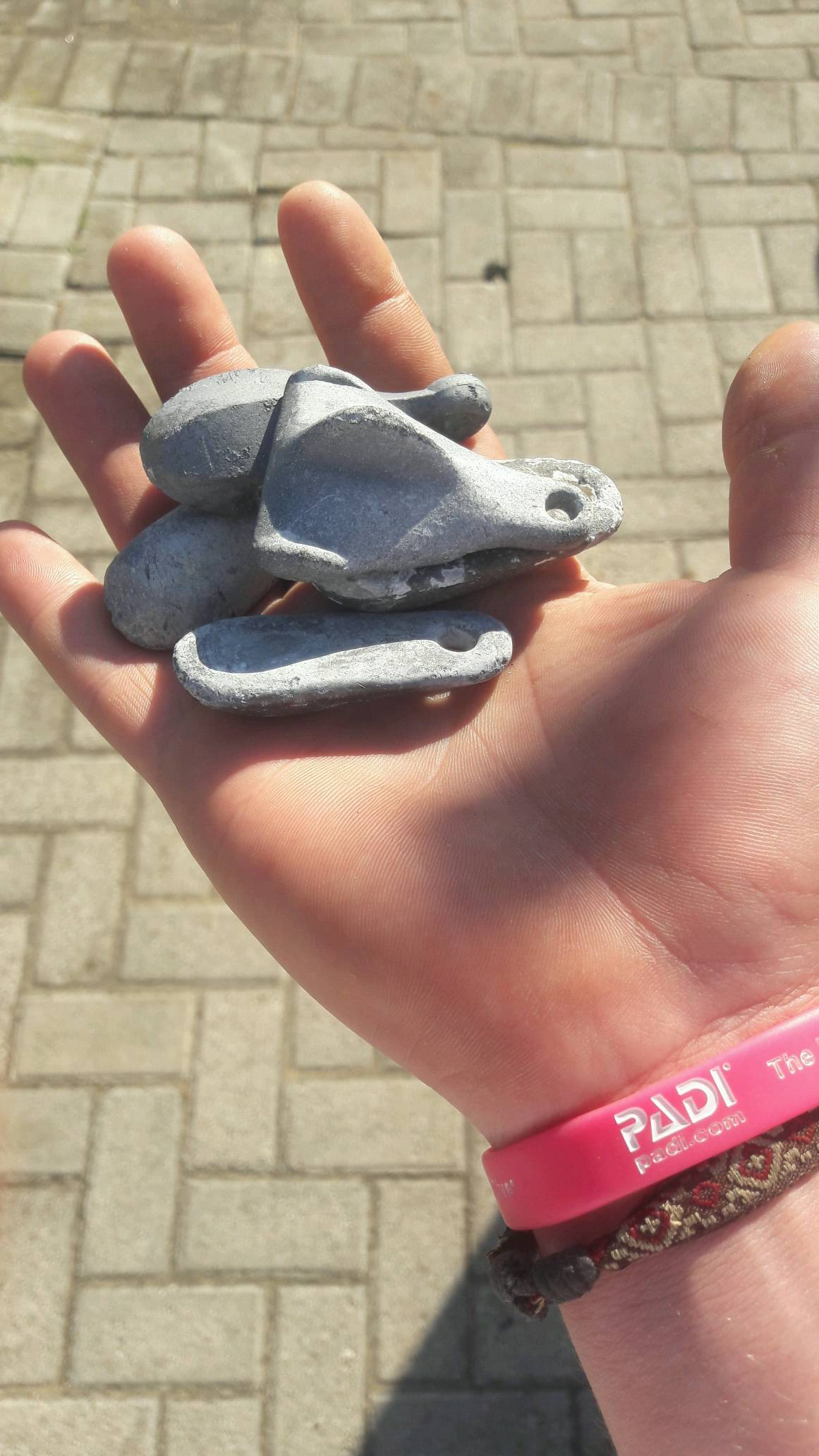
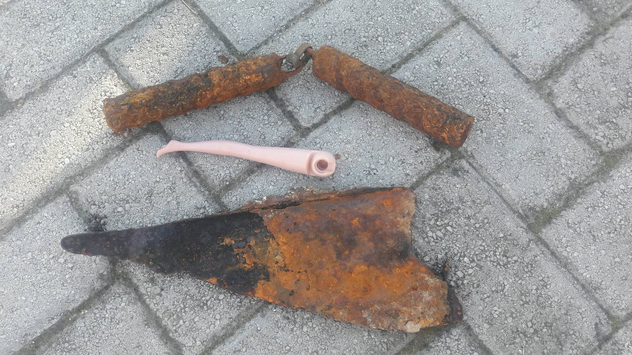
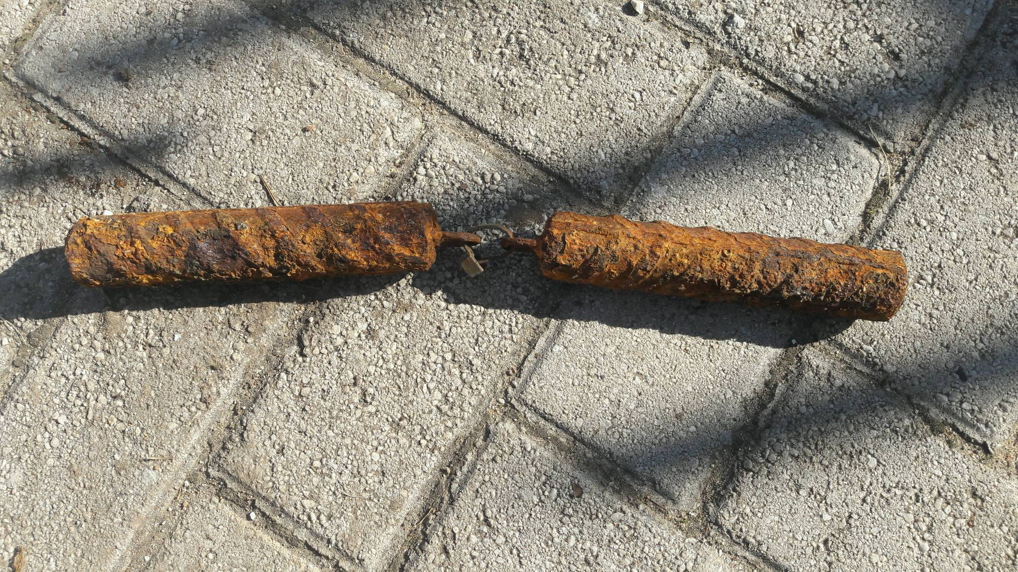
small bits of plastic
On
pounds
I have debris data to report
1
Calm (glassy to rippled) for waves 0 – 0.1 meter high
5
m2
6
2
meters
seagrass
12
5
2
4
2
Barbados
State\Province
St Michael
Map Help


Dive Location

If you know your survey site coordinates, enter them manually in decimal degrees using WGS84 Map Datum. Use the minus sign for latitudes south of the equator and longitudes west of the Prime Meridian to 180 degrees.

If you do not know your survey site coordinates, click the “Map Location” tab to use the map to zoom into your survey site and drop the pin on the map to fall within your survey dive site in the water (not on land or the beach). Ensure you zoom in as much as possible to ensure data accuracy.

Entangled Help


Use the vertical tabs below to record any entangled animals you found of each type.

Guildenburgh Water

1
silt

52.5531283, -0.10665599999993

Refreshments by lake
Strawberry punnet
Hot and dry
Dive In Ltd
Kim Blake
3
2
2
0.30
25
7.00
4.00
1
estimated
2.00
Rope
On
kilograms
I have debris data to report
1
Calm (glassy to rippled) for waves 0 – 0.1 meter high m2
meters
other
1
United Kingdom
State\Province
Cambridgeshire
City
Peterborough
Map Help


Dive Location

If you know your survey site coordinates, enter them manually in decimal degrees using WGS84 Map Datum. Use the minus sign for latitudes south of the equator and longitudes west of the Prime Meridian to 180 degrees.

If you do not know your survey site coordinates, click the “Map Location” tab to use the map to zoom into your survey site and drop the pin on the map to fall within your survey dive site in the water (not on land or the beach). Ensure you zoom in as much as possible to ensure data accuracy.

Entangled Help


Use the vertical tabs below to record any entangled animals you found of each type.

Ecosystem Other
Fresh water silt quarry

Sundstraumen

67.209369, 14.514484

3
rock
4
Saltstraumen DykkeCamp
Fredric Ihrsen
1
1.10
56
25.00
5.00
measured
4
4000.00
On
kilograms
I have debris data to report
Calm (glassy to rippled) for waves 0 – 0.1 meter high m2
meters
kelp
Norway
Map Help


Dive Location

If you know your survey site coordinates, enter them manually in decimal degrees using WGS84 Map Datum. Use the minus sign for latitudes south of the equator and longitudes west of the Prime Meridian to 180 degrees.

If you do not know your survey site coordinates, click the “Map Location” tab to use the map to zoom into your survey site and drop the pin on the map to fall within your survey dive site in the water (not on land or the beach). Ensure you zoom in as much as possible to ensure data accuracy.

Entangled Help


Use the vertical tabs below to record any entangled animals you found of each type.

ADS10 - Ørneset

67.225682, 14.616451

6
rock
25
Saltstraumen DykkeCamp
Fredric Ihrsen
1
2.60
52
27.00
1.00
measured
29
4500.00
On
kilograms
I have debris data to report
Smooth (wavelets) for waves 0.1 - 0.5 meter high m2
meters
kelp
Norway
Map Help


Dive Location

If you know your survey site coordinates, enter them manually in decimal degrees using WGS84 Map Datum. Use the minus sign for latitudes south of the equator and longitudes west of the Prime Meridian to 180 degrees.

If you do not know your survey site coordinates, click the “Map Location” tab to use the map to zoom into your survey site and drop the pin on the map to fall within your survey dive site in the water (not on land or the beach). Ensure you zoom in as much as possible to ensure data accuracy.

Entangled Help


Use the vertical tabs below to record any entangled animals you found of each type.

ADS358 - Big Blu Bombie

1
3

-7.970771, 39.749269

seagrass
1
RAINY SEASON
WELLING BOOT
RAIN AND WIND WITH OCCASIONAL SUNNY DAYS
BIG BLU MAFIA ISLAND DIVE CENTRE
MUDHIHIRI MOHAMED
5
3
13
2.45
46
8.00
2.00
measured
400.00
PLASTIC BAGS
PLASTIC BOTTLES
PLASTIC PIECES
On
kilograms
I have debris data to report
Slight for waves 0.5 -1.25 meter high
2
m2
meters
other
Tanzania
State\Province
PWANI
City
UTENDE
Map Help


Dive Location

If you know your survey site coordinates, enter them manually in decimal degrees using WGS84 Map Datum. Use the minus sign for latitudes south of the equator and longitudes west of the Prime Meridian to 180 degrees.

If you do not know your survey site coordinates, click the “Map Location” tab to use the map to zoom into your survey site and drop the pin on the map to fall within your survey dive site in the water (not on land or the beach). Ensure you zoom in as much as possible to ensure data accuracy.

Entangled Help


Use the vertical tabs below to record any entangled animals you found of each type.

Ecosystem Other
SEAGRASS AND SAND

6 pillars (Slipway)

0
0
0
0

-33.977987, 25.655017

0
0
0
sand
0
0
0
0
0
Dive sites close to shore are most effected by debris because of the large amounts of people swimming and spending days st the beach
Surfboard skeg
Calm
1
Surfboard skeg
Brandon van Vuuren
Brandon
0
0
0
0
0
0
0
0
1
0
0
0
0
0
0
0
0
0
0
2
0
0
1
0
0
0
0
0
0
0
0
0
0
0
0
0
4.00
45
6.00
2.00
0
estimated
0
0
0
5
100.23
1
0
0
0
0
Plastic
Sinkers
0
On
kilograms
0
I have debris data to report
0
0
0
Smooth (wavelets) for waves 0.1 - 0.5 meter high
0
0
0
0
0
0
0
m2
0
0
meters
rocky reef
0
0
0
0
0
0
0
0
0
0
0
0
0
0
0
0
0
1
0
0
0
0
1
0
0
0
0
0
0
South Africa
State\Province
Eastern Cape
City
Port Elizabeth
Map Help


Dive Location

If you know your survey site coordinates, enter them manually in decimal degrees using WGS84 Map Datum. Use the minus sign for latitudes south of the equator and longitudes west of the Prime Meridian to 180 degrees.

If you do not know your survey site coordinates, click the “Map Location” tab to use the map to zoom into your survey site and drop the pin on the map to fall within your survey dive site in the water (not on land or the beach). Ensure you zoom in as much as possible to ensure data accuracy.

Entangled Help


Use the vertical tabs below to record any entangled animals you found of each type.

Evans Peak

0
0
0
0

-33.794463, 25.794163

0
0
0
coral
0
0
0
0
0
No
Steel rebar joined with plastic cabletie
Calm
Brandon van Vuuren
Brandon
0
0
0
0
0
0
0
0
0
0
0
0
0
0
0
0
0
0
0
2
0
0
1
0
0
0
0
0
0
0
0
0
0
0
0
0
3.50
40
30.00
15.00
0
estimated
0
0
0
0
118.58
0
0
0
0
0
Plastic
0
On
kilograms
0
I have debris data to report
0
0
0
Slight for waves 0.5 -1.25 meter high
0
0
0
0
0
0
0
m2
0
0
meters
coral reef
1
0
1
0
0
0
0
0
0
0
0
0
0
0
0
0
0
0
0
0
0
0
0
0
0
0
0
0
0
South Africa
State\Province
Eastern Cape
City
Port Elizabeth
Map Help


Dive Location

If you know your survey site coordinates, enter them manually in decimal degrees using WGS84 Map Datum. Use the minus sign for latitudes south of the equator and longitudes west of the Prime Meridian to 180 degrees.

If you do not know your survey site coordinates, click the “Map Location” tab to use the map to zoom into your survey site and drop the pin on the map to fall within your survey dive site in the water (not on land or the beach). Ensure you zoom in as much as possible to ensure data accuracy.

Entangled Help


Use the vertical tabs below to record any entangled animals you found of each type.

Hauglandshella dampskipbrygge

55
4
5
5
silt
10
2
11
11

60.444960218931, 5.1553741874228

Remi Krognes
5
1
5
10
25
2
17
1
5
2
5
3
15
1
2
4
4
2
50.00
59
30.00
2.00
25
estimated
1
1
300.00
1
On
kilograms
I have debris data to report
2
Calm (glassy to rippled) for waves 0 – 0.1 meter high
2
1
1
m2
2
1
meters
other
1
1
5
2
1
2
1
Norway
State\Province
Hordaland
City
Hauglandshella
Map Help


Dive Location

If you know your survey site coordinates, enter them manually in decimal degrees using WGS84 Map Datum. Use the minus sign for latitudes south of the equator and longitudes west of the Prime Meridian to 180 degrees.

If you do not know your survey site coordinates, click the “Map Location” tab to use the map to zoom into your survey site and drop the pin on the map to fall within your survey dive site in the water (not on land or the beach). Ensure you zoom in as much as possible to ensure data accuracy.

Entangled Help


Use the vertical tabs below to record any entangled animals you found of each type.

Gauksheimvika

2
seagrass
2
1
3

59.973250816019, 5.1757448943613

Remi Krognes
2
5
2
2
1
5.00
60
18.00
2.00
estimated
4
150.00
On
kilograms
I have debris data to report
Calm (glassy to rippled) for waves 0 – 0.1 meter high m2
meters
seagrass
Norway
State\Province
Austevoll
City
Bekkjarvik
Map Help


Dive Location

If you know your survey site coordinates, enter them manually in decimal degrees using WGS84 Map Datum. Use the minus sign for latitudes south of the equator and longitudes west of the Prime Meridian to 180 degrees.

If you do not know your survey site coordinates, click the “Map Location” tab to use the map to zoom into your survey site and drop the pin on the map to fall within your survey dive site in the water (not on land or the beach). Ensure you zoom in as much as possible to ensure data accuracy.

Entangled Help


Use the vertical tabs below to record any entangled animals you found of each type.

North Jetty

1.2263410621145, 103.75213623047

silt
Form of Netting
Marlin Divers
E lin POW
5
2.00
40
12.00
5.00
estimated
10.00
On
kilograms
I have debris data to report
Calm (glassy to rippled) for waves 0 – 0.1 meter high m2
meters
coral reef
Singapore
Map Help


Dive Location

If you know your survey site coordinates, enter them manually in decimal degrees using WGS84 Map Datum. Use the minus sign for latitudes south of the equator and longitudes west of the Prime Meridian to 180 degrees.

If you do not know your survey site coordinates, click the “Map Location” tab to use the map to zoom into your survey site and drop the pin on the map to fall within your survey dive site in the water (not on land or the beach). Ensure you zoom in as much as possible to ensure data accuracy.

Entangled Help


Use the vertical tabs below to record any entangled animals you found of each type.

Subscribe to