Port Aransas South Jetty Pier Lab
1
silt
27.837856061833, -97.050433588027
Video https://youtu.be/nvMX5LInHiI
This was likely lost when Hurricane Harvey hit Port Aransas in 2017.
Crab trap full of fish.
4 fish were released from lost crab trap all we injured but swam away.
No rain clear weather.
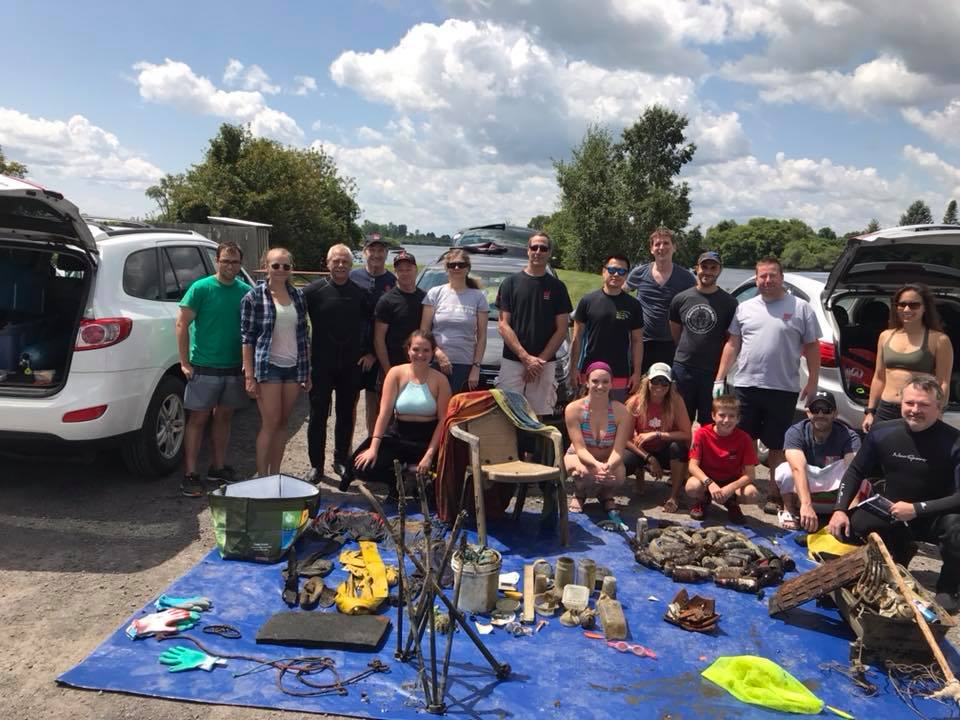
Transformation Scuba
Mark McNamara
2
1
15.00
10
30.00
10.00
estimated
50.00
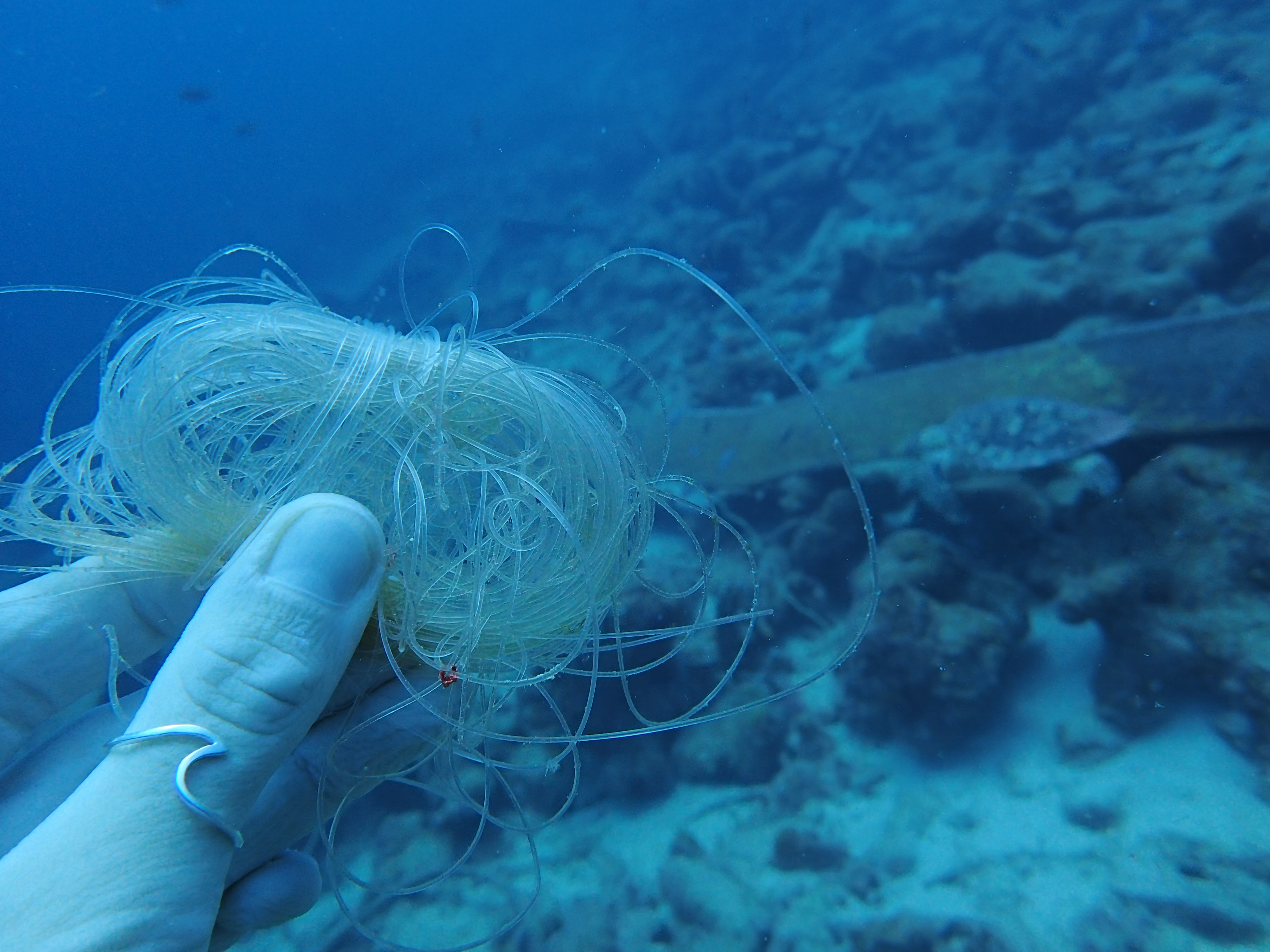
Lost cast nets
Lost crab traps
Fishing line, leaders, and lead weights
On
pounds
I have debris data to report
Smooth (wavelets) for waves 0.1 - 0.5 meter high
Injured
Snapper, Sheepshead, and Toadfish
4
Lost Crab Trap
ft2
feet
other
State\Province
Texas
City
Corpus Christi
Map Help
Dive Location
If you know your survey site coordinates, enter them manually in decimal degrees using WGS84 Map Datum. Use the minus sign for latitudes south of the equator and longitudes west of the Prime Meridian to 180 degrees.
If you do not know your survey site coordinates, click the “Map Location” tab to use the map to zoom into your survey site and drop the pin on the map to fall within your survey dive site in the water (not on land or the beach). Ensure you zoom in as much as possible to ensure data accuracy.
Entangled Help
Use the vertical tabs below to record any entangled animals you found of each type.
Ecosystem Other
Sunken Pier