
Dive Against Debris Data Submission
Salt Pier
20 July, 2018
- Team Leader
- Kathryn Hehre
- Number of Participants
- 2
- Total Debris Collected
- 0.5 kgs (estimated)
12.083453011727, -68.282395431546
Survey Information
- Location Name
- Salt Pier
- Organization/Dive Centre
- City
- Kralendijk
- Country
- Netherlands Antilles
- Date
- 20 July, 2018
- Survey Duration
- 62 Minutes
- GPS Coordinates
- Latitude: 12.083453011727
Longitude: -68.282395431546
- Weather Conditions
-
mostly sunny, partly cloudy. no rain. moderate wind. 32 degrees C.
- Survey Depth Range
- 8–23.5 meters
- Area Surveyed
- 2000 m2
- Dominant Substrate
- coral
- Ecosystem
- coral reef
- Wave Conditions
- Smooth (wavelets) for waves 0.1 - 0.5 meter high
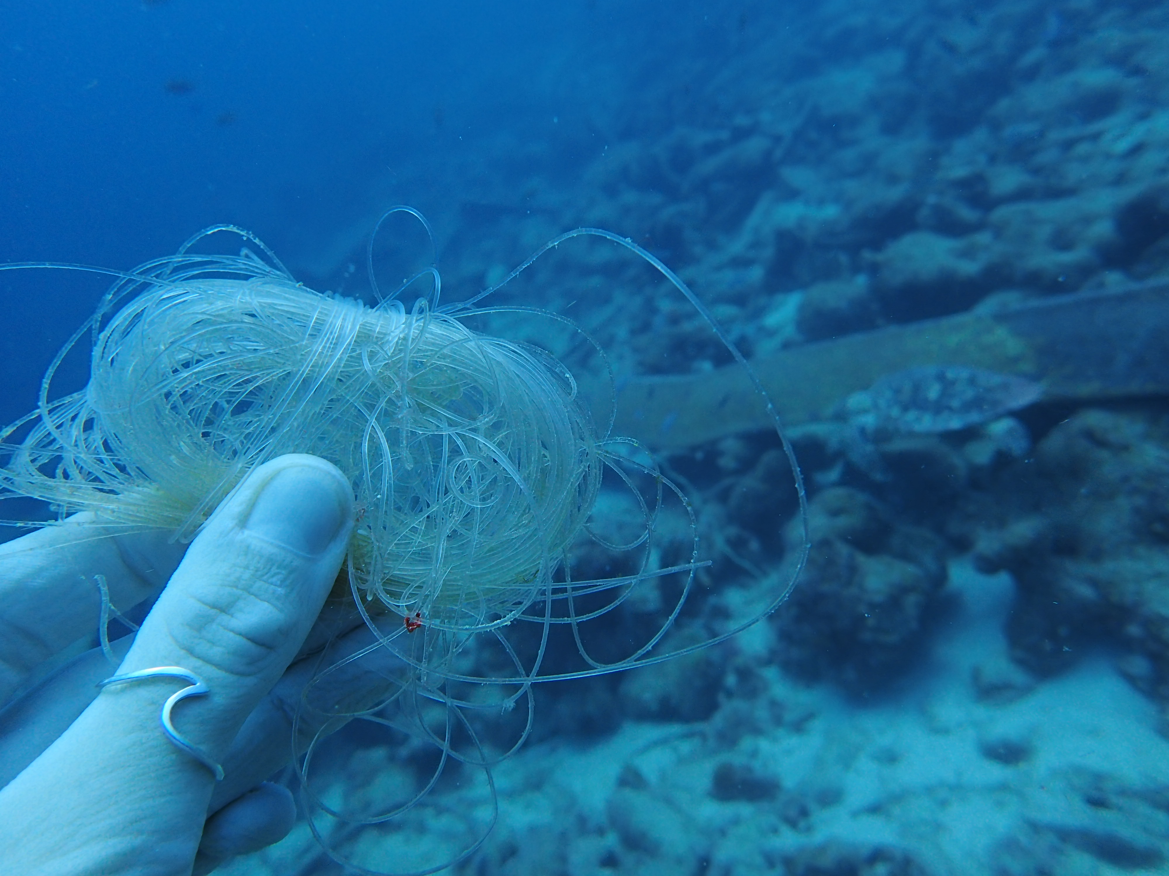
Survey Photos
Debris Items Collected
| plastic materials collected | |
|---|---|
| Fishing: Line | 4 |
| Fishing: Lures, Rods/poles | 3 |
| paper materials collected | |
|---|---|
| Paper, Cardboard Fragments | 2 |
Additional Information
The salt pier is a large pier, large boats frequent there. there is also local fishing that happens offshore along the coastline.
fishing line
Comments and Feedback
I was not sure how to record this, but in total I measured that we removed 58 meters of fishing line. The photo I uploaded is one of the lines we removed.


