Menu

Strome ferry

gravel

57.358180781615, -5.5534030156875

very good, calm winds, no rain
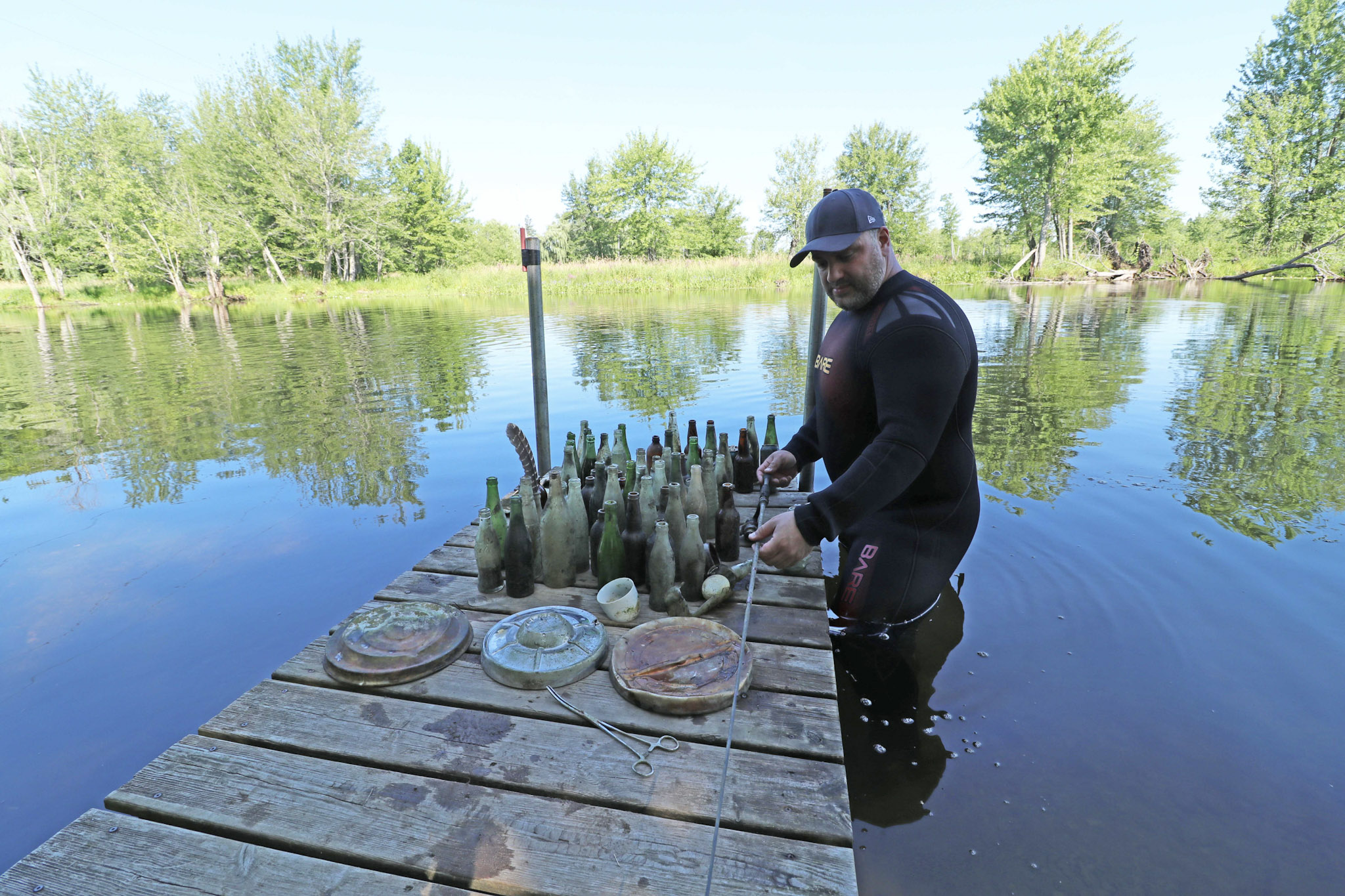
Highland diving
Bart Lafere
2
1.25
43
14.00
1.00
estimated
100.00
On
kilograms
I have debris data to report
4
Calm (glassy to rippled) for waves 0 – 0.1 meter high m2
meters
rocky reef
United Kingdom
State\Province
Ross shire
City
Muir of Ord
Map Help


Dive Location

If you know your survey site coordinates, enter them manually in decimal degrees using WGS84 Map Datum. Use the minus sign for latitudes south of the equator and longitudes west of the Prime Meridian to 180 degrees.

If you do not know your survey site coordinates, click the “Map Location” tab to use the map to zoom into your survey site and drop the pin on the map to fall within your survey dive site in the water (not on land or the beach). Ensure you zoom in as much as possible to ensure data accuracy.

Entangled Help


Use the vertical tabs below to record any entangled animals you found of each type.

Perth River

7

44.895659027157, -76.282909100261

gravel
1

44.895659027157, -76.282909100261

No
Large egg.
Andre Constantineau
1
1
20.00
60
15.00
5.00
estimated
200.00
On
pounds
I have debris data to report
50
Calm (glassy to rippled) for waves 0 – 0.1 meter high ft2
feet
other
1
1
1
Canada
State\Province
Ontario
City
Perth
Map Help


Dive Location

If you know your survey site coordinates, enter them manually in decimal degrees using WGS84 Map Datum. Use the minus sign for latitudes south of the equator and longitudes west of the Prime Meridian to 180 degrees.

If you do not know your survey site coordinates, click the “Map Location” tab to use the map to zoom into your survey site and drop the pin on the map to fall within your survey dive site in the water (not on land or the beach). Ensure you zoom in as much as possible to ensure data accuracy.

Entangled Help


Use the vertical tabs below to record any entangled animals you found of each type.

Ecosystem Other
River

ADS354 - Site X

-4.61765, 55.396383

1
coral
5
Rainy
GVI Cap Ternay
Andy Ezeta
7
6.50
32
8.00
3.00
measured
11
3750.00
Glass Bottles
On
kilograms
I have debris data to report
2
Smooth (wavelets) for waves 0.1 - 0.5 meter high
1
m2
1
meters
coral reef
1
1
Seychelles
State\Province
Mahe
City
Victoria
Map Help


Dive Location

If you know your survey site coordinates, enter them manually in decimal degrees using WGS84 Map Datum. Use the minus sign for latitudes south of the equator and longitudes west of the Prime Meridian to 180 degrees.

If you do not know your survey site coordinates, click the “Map Location” tab to use the map to zoom into your survey site and drop the pin on the map to fall within your survey dive site in the water (not on land or the beach). Ensure you zoom in as much as possible to ensure data accuracy.

Entangled Help


Use the vertical tabs below to record any entangled animals you found of each type.

ADS120 - Praia Vermelha Red Beach

3
22
1
1

-22.955263618689, -43.164148628712

7
2
rock
7
9
Sunny with some thunder storms
6
Spark Plug
Projeto Verde Mar
Caio Salles
3
3
12
1
3
1
7
8.00
50
10.00
3.00
estimated
31
800.00
On
kilograms
I have debris data to report
Calm (glassy to rippled) for waves 0 – 0.1 meter high
3
m2
1
meters
rocky reef
2
1
2
Brazil
State\Province
RJ
City
Rio de Janeiro
Map Help


Dive Location

If you know your survey site coordinates, enter them manually in decimal degrees using WGS84 Map Datum. Use the minus sign for latitudes south of the equator and longitudes west of the Prime Meridian to 180 degrees.

If you do not know your survey site coordinates, click the “Map Location” tab to use the map to zoom into your survey site and drop the pin on the map to fall within your survey dive site in the water (not on land or the beach). Ensure you zoom in as much as possible to ensure data accuracy.

Entangled Help


Use the vertical tabs below to record any entangled animals you found of each type.

ADS333 - Corsaire

2

-4.616933, 55.40745

coral
Brand new scuba mask
Rainy
GVI Cap Ternay
Andy Ezeta
1
10
3.00
35
7.00
6.30
measured
3750.00
Glass Bottles
On
kilograms
I have debris data to report
2
Smooth (wavelets) for waves 0.1 - 0.5 meter high m2
1
meters
coral reef
1
2
Seychelles
State\Province
Mahe
City
Victoria
Map Help


Dive Location

If you know your survey site coordinates, enter them manually in decimal degrees using WGS84 Map Datum. Use the minus sign for latitudes south of the equator and longitudes west of the Prime Meridian to 180 degrees.

If you do not know your survey site coordinates, click the “Map Location” tab to use the map to zoom into your survey site and drop the pin on the map to fall within your survey dive site in the water (not on land or the beach). Ensure you zoom in as much as possible to ensure data accuracy.

Entangled Help


Use the vertical tabs below to record any entangled animals you found of each type.

Ras Katy

1
3
coral
5

27.848261637902, 34.30080577965

Thank you to everyone that took part and helped us raise awareness of the underwater world in PADI Women's Dive Day 2018
Camel Dive Club
Beth Sanders
1
4
25
1
3
2
2.50
60
20.00
1.00
measured
100.00
On
kilograms
I have debris data to report
Calm (glassy to rippled) for waves 0 – 0.1 meter high
1
2
m2
meters
coral reef
1
Egypt
State\Province
Sinai
City
Sharm el Sheikh
Map Help


Dive Location

If you know your survey site coordinates, enter them manually in decimal degrees using WGS84 Map Datum. Use the minus sign for latitudes south of the equator and longitudes west of the Prime Meridian to 180 degrees.

If you do not know your survey site coordinates, click the “Map Location” tab to use the map to zoom into your survey site and drop the pin on the map to fall within your survey dive site in the water (not on land or the beach). Ensure you zoom in as much as possible to ensure data accuracy.

Entangled Help


Use the vertical tabs below to record any entangled animals you found of each type.

Capernwray

2
13

54.137083, -2.722722

silt

54.136901055282, -2.722692068327

This was our first debris dive here, and we were a bit shocked at how much we collected. Although the items weren't heavy, we found a lot of smaller plastic fragments.
We surveyed by the plane, the Cessna, and the training platforms. We found most of the debris by the plane in the deeper part of the quarry.
During the 5 meter safety stop I found three broken bottles of glass, (which resulted in a deep cut on my finger - lesson learnt - always wear gloves on a debris dive). I'm glad the broken glass has been removed from the site, as students shouldn't have broken glass as a hazard when learning buoyancy skills on a dive.

Most of the debris we found was clearly trash from diving, broken dive equipment, pieces of tape from cylinders, cable ties - but also debris from the surface such as glass bottles, plastic bags, food wrappers.

The debris collected showed the journey of the trash from the diving car park to the the bottom of Capernwray, and a good indication that the debris may well have made its way into other bodies of water.

Definitely a worthwhile Debris dive and I'm sure we will be back to clean up one of our favorite Quarry dives!
Fin insert from buying new fins - this should be removed before a dive, not pleasant to be seeing plastic used in a scuba store ending up in the water
Sunny
3
1
1
Cable Ties
Hair Bobble
Fin insert
Scuba Leeds
Susannah Noble
1
2
1
0.30
45
15.00
3.00
measured
1317.00
Parts of broken scuba diving equipment - fin inserts, cable ties and broken fin buckle
Plastic tape from dive cylinders
Plastic food wrappers
1
On
kilograms
I have debris data to report
Calm (glassy to rippled) for waves 0 – 0.1 meter high
2
m2
meters
other
3
United Kingdom
Map Help


Dive Location

If you know your survey site coordinates, enter them manually in decimal degrees using WGS84 Map Datum. Use the minus sign for latitudes south of the equator and longitudes west of the Prime Meridian to 180 degrees.

If you do not know your survey site coordinates, click the “Map Location” tab to use the map to zoom into your survey site and drop the pin on the map to fall within your survey dive site in the water (not on land or the beach). Ensure you zoom in as much as possible to ensure data accuracy.

Entangled Help


Use the vertical tabs below to record any entangled animals you found of each type.

Ecosystem Other
Quarry

ADS116 - Tunnelen

67.234674, 14.604692

3
rock
9
Saltstraumen DykkeCamp
Fredric Ihrsen
1
1.40
64
30.00
3.00
measured
12
4500.00
On
kilograms
I have debris data to report
Smooth (wavelets) for waves 0.1 - 0.5 meter high m2
meters
kelp
Norway
Map Help


Dive Location

If you know your survey site coordinates, enter them manually in decimal degrees using WGS84 Map Datum. Use the minus sign for latitudes south of the equator and longitudes west of the Prime Meridian to 180 degrees.

If you do not know your survey site coordinates, click the “Map Location” tab to use the map to zoom into your survey site and drop the pin on the map to fall within your survey dive site in the water (not on land or the beach). Ensure you zoom in as much as possible to ensure data accuracy.

Entangled Help


Use the vertical tabs below to record any entangled animals you found of each type.

ADS367 - PADI Beach

4

12.169492, 109.307799

coral
4
7
Picking up debris while following two DM in training. Mostly old fragments stuck on reef, it takes time to take them off without damaging corals.
Sunny, very hot with some rain in afternoon or evening. moderate wind
Sailing Club Divers
Nicolas Martin
1
1
5.00
53
12.00
3.00
3
estimated
50.00
On
kilograms
I have debris data to report
Calm (glassy to rippled) for waves 0 – 0.1 meter high
3
m2
meters
coral reef
Vietnam
State\Province
Khanh Hoa
City
Nha trang
Map Help


Dive Location

If you know your survey site coordinates, enter them manually in decimal degrees using WGS84 Map Datum. Use the minus sign for latitudes south of the equator and longitudes west of the Prime Meridian to 180 degrees.

If you do not know your survey site coordinates, click the “Map Location” tab to use the map to zoom into your survey site and drop the pin on the map to fall within your survey dive site in the water (not on land or the beach). Ensure you zoom in as much as possible to ensure data accuracy.

Entangled Help


Use the vertical tabs below to record any entangled animals you found of each type.

Suwami North

1
2
0

8.578479, 81.241607

0
0
0
sand
0
3
0
3
0
The temple is marked in the wrong location.
Usual beach trash from Trincomalee
On shore winds
0
0
0
0
0
0
0
0
0
0
0
0
0
0
0
0
0
0
0
0
Scuba Safaris
Dave
0
0
1
0
0
0
0
0
0
0
0
0
0
0
0
0
0
2
0
3
0
0
0
0
0
0
0
0
0
0
0
0
0
0
93.60
25
2.00
1.00
0
estimated
0
0
97.90
0
0
0
0
0
0
On
kilograms
0
I have debris data to report
0
0
0
Calm (glassy to rippled) for waves 0 – 0.1 meter high
0
0
0
0
0
0
0
m2
0
0
meters
other
0
0
0
0
0
0
0
0
0
0
0
0
0
0
0
1
2
0
0
0
0
0
0
0
0
0
0
0
Sri Lanka
City
Trincomalee
Map Help


Dive Location

If you know your survey site coordinates, enter them manually in decimal degrees using WGS84 Map Datum. Use the minus sign for latitudes south of the equator and longitudes west of the Prime Meridian to 180 degrees.

If you do not know your survey site coordinates, click the “Map Location” tab to use the map to zoom into your survey site and drop the pin on the map to fall within your survey dive site in the water (not on land or the beach). Ensure you zoom in as much as possible to ensure data accuracy.

Entangled Help


Use the vertical tabs below to record any entangled animals you found of each type.

Subscribe to