ADS547 - Parque las Piedras
-42.733121094496, -65.029577919382
3
sand
4
6
-42.733121094496, -65.029577919382
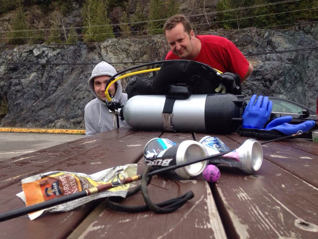
it was the 2nd marine diving parque of the city
we ussually use this natural parque for DSD, its clouse to a commercial pier, so we care to much about this place
calm wind, no current
Bucea Hoy / Dive Today
Patricio Cartelli
4
0
1
2
25.00
35
7.00
6.00
10
measured
625.00
2
5
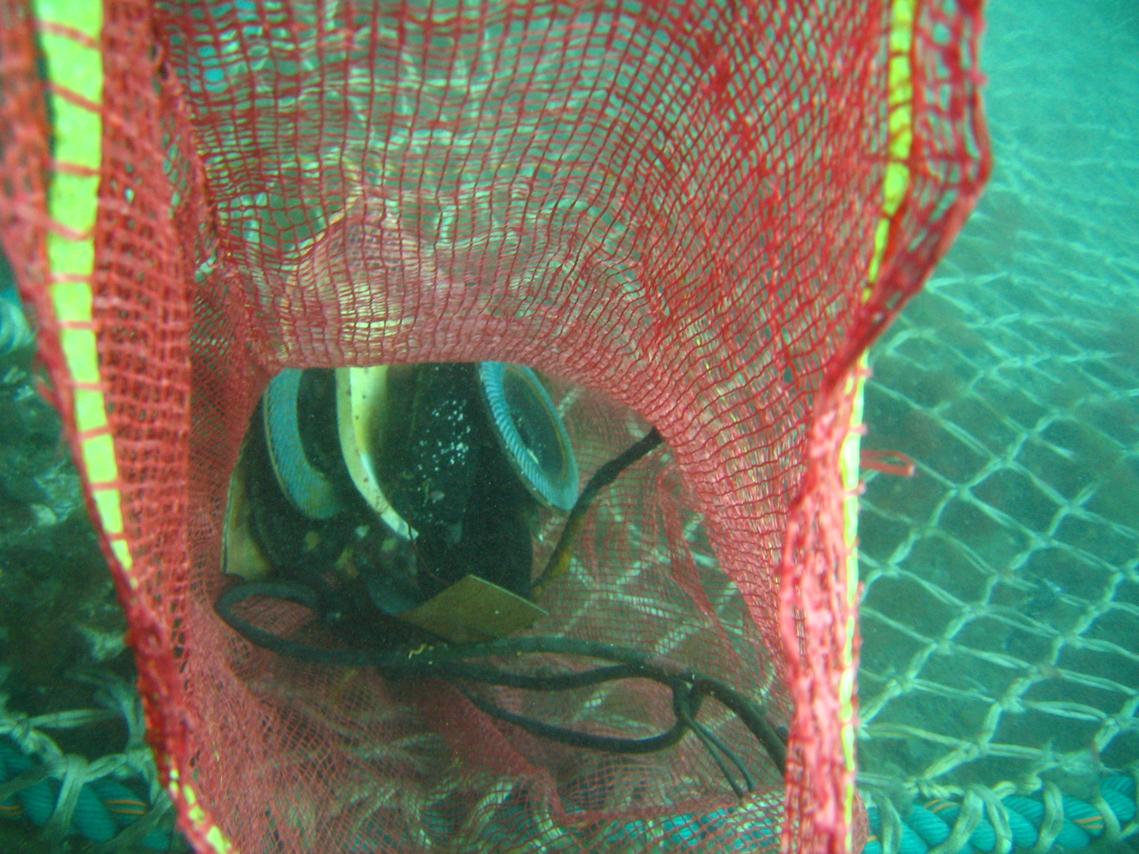
fishing plastic boxes
On
kilograms
I have debris data to report
1
Calm (glassy to rippled) for waves 0 – 0.1 meter high
m2
1
meters
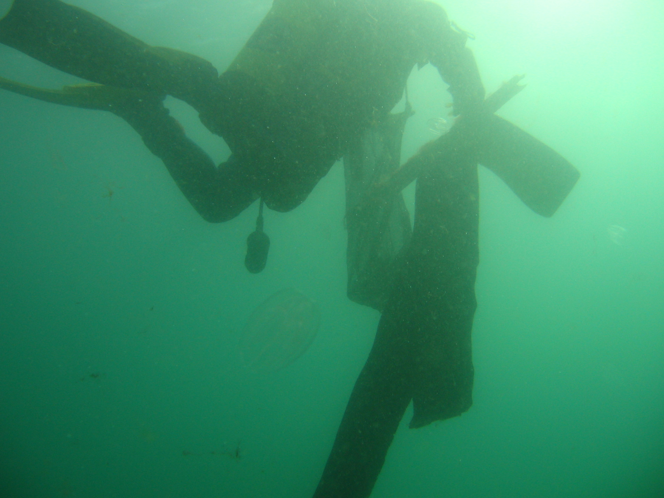
rocky reef
2
1
7
2
1
State\Province
Chubut
City
Puerto Madryn
Map Help
Dive Location
If you know your survey site coordinates, enter them manually in decimal degrees using WGS84 Map Datum. Use the minus sign for latitudes south of the equator and longitudes west of the Prime Meridian to 180 degrees.
If you do not know your survey site coordinates, click the “Map Location” tab to use the map to zoom into your survey site and drop the pin on the map to fall within your survey dive site in the water (not on land or the beach). Ensure you zoom in as much as possible to ensure data accuracy.
Entangled Help