Lock 28
16
44.777631264361, -75.39932012558
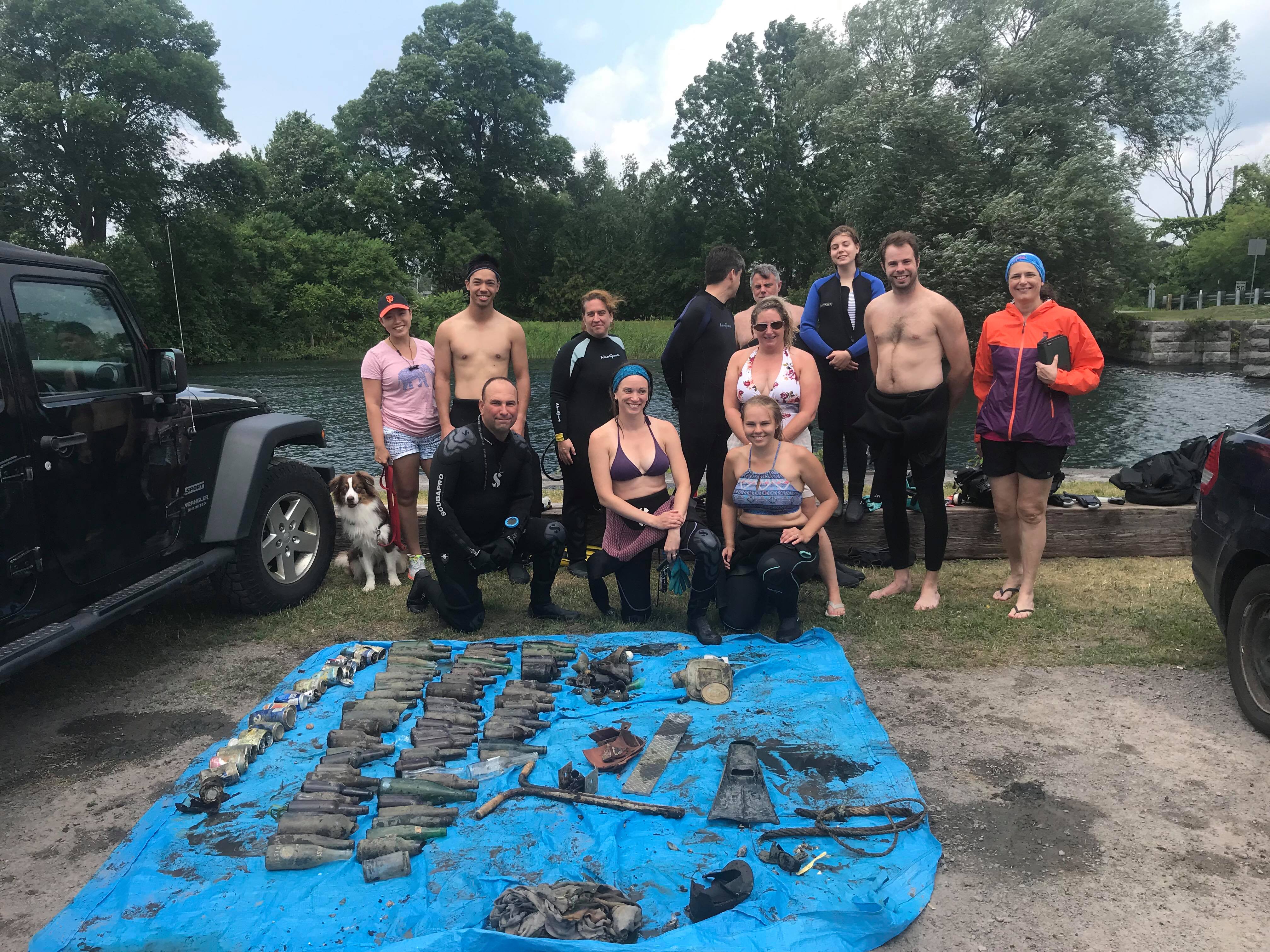
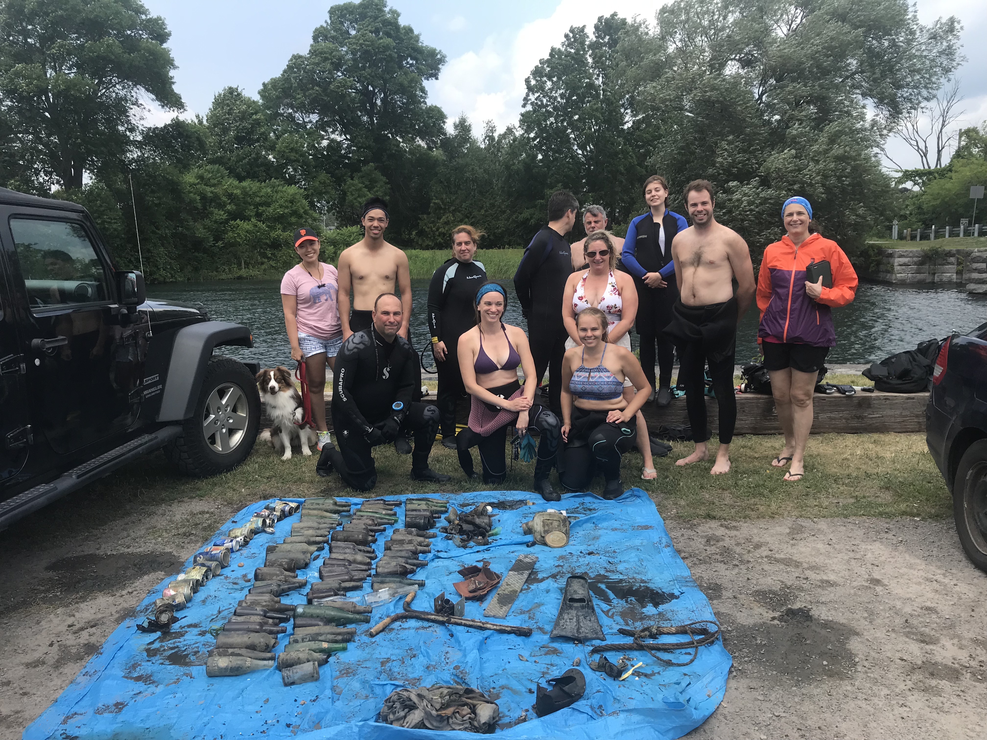
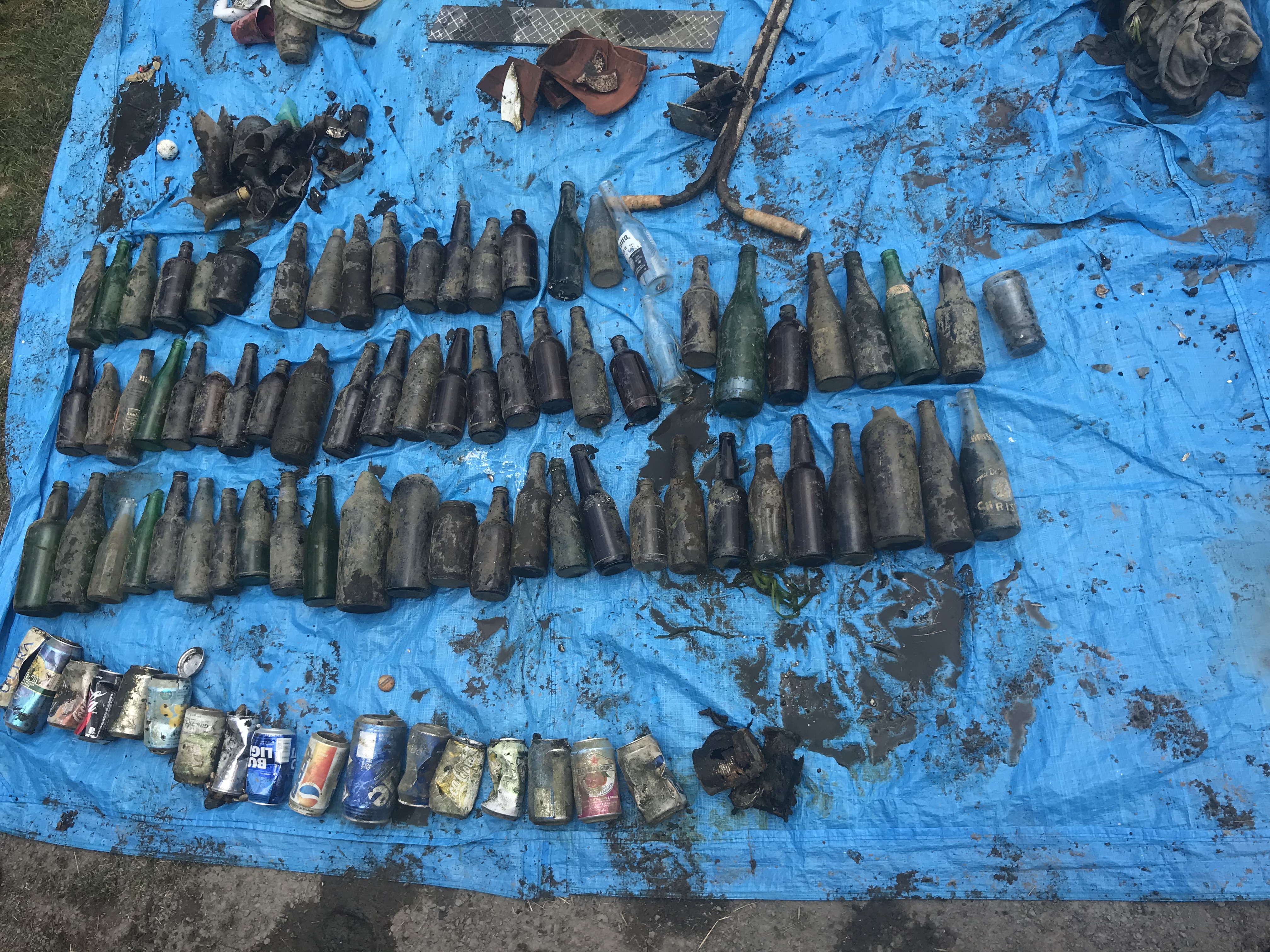
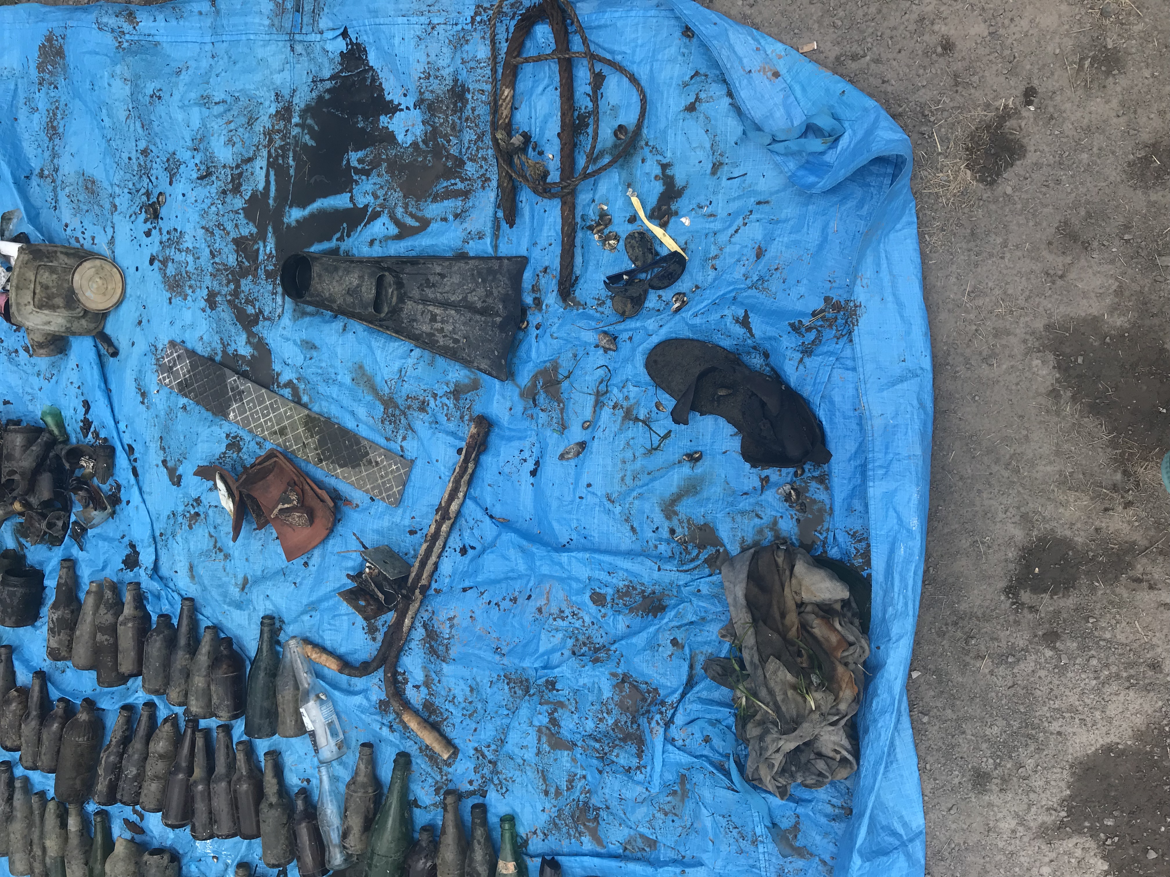
Thanks to everyone who came out and helped clean up the St Lawrence!
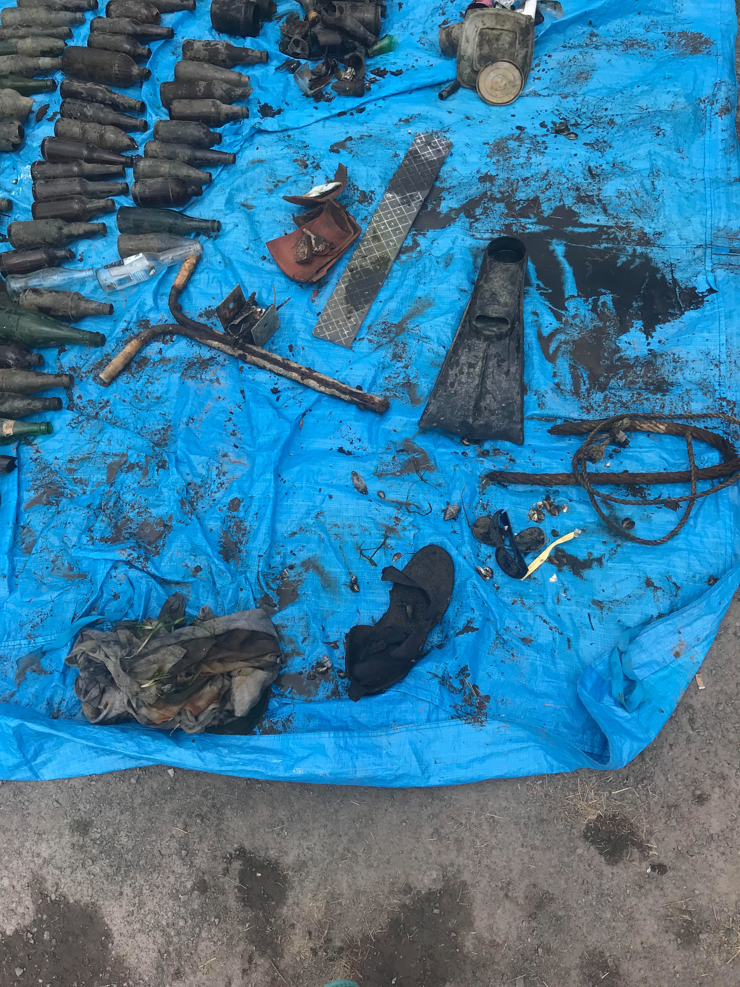
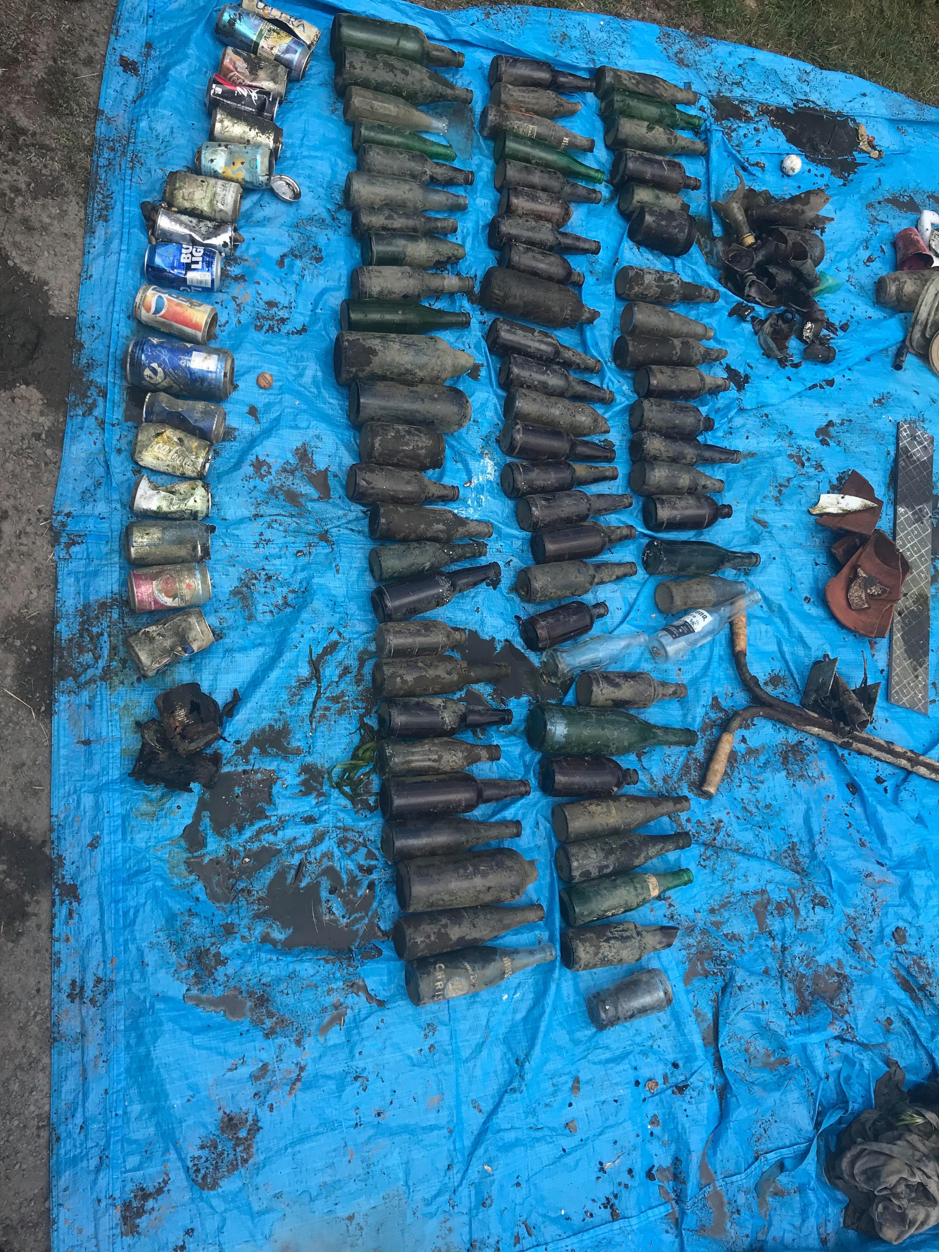
The site is known as the local party place. This is why I believe there is so much beer/wine bottles and cans. We also found a camping BBQ, tires and other larger items that we couldn’t pull out.
handle bars from a scooter
Hot and sunny! About 25-30 degrees Celsius
Kanata Diving Supply
Jenny Miller
1
14
92.10
46
29.00
10.00
measured
3
58088.00
glass bottles
metal cans
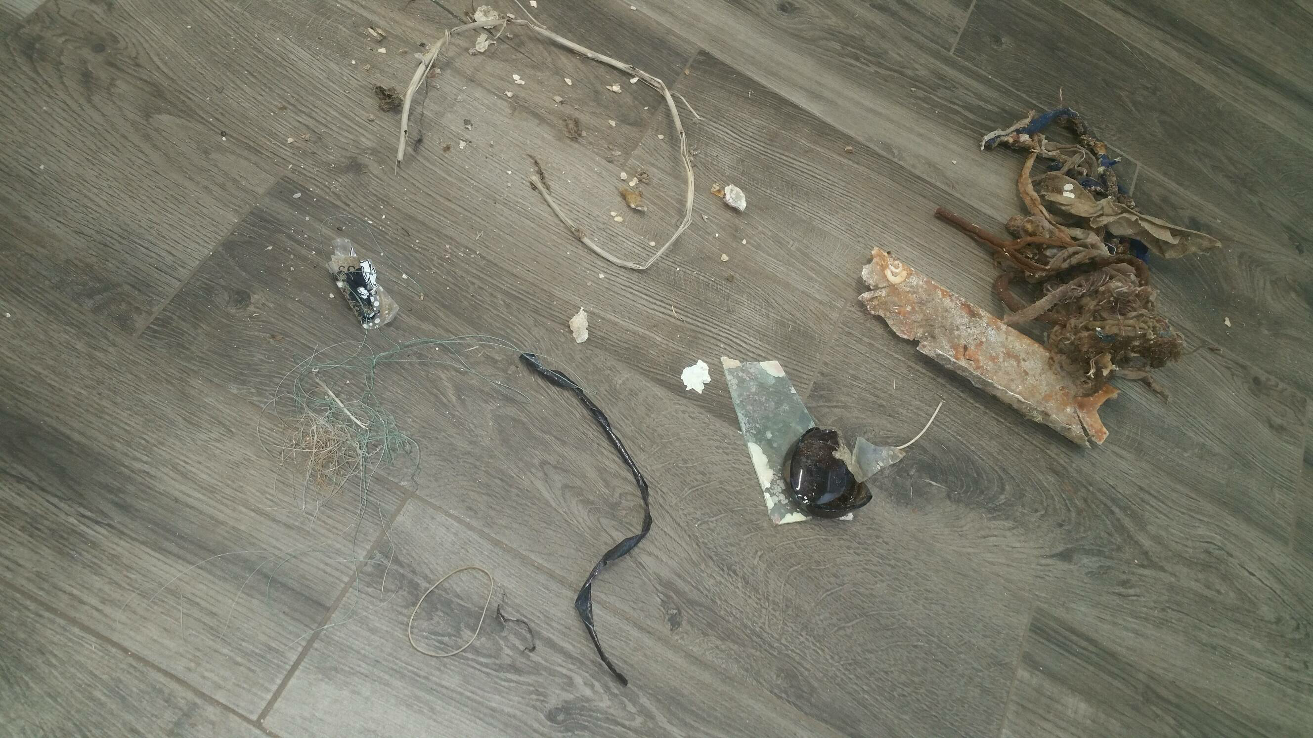
broken glass
On
pounds
I have debris data to report
73
Calm (glassy to rippled) for waves 0 – 0.1 meter high
1
ft2
2
feet
other
7
3
5
18
59
State\Province
Ontario
City
Cardinal
Map Help
Dive Location
If you know your survey site coordinates, enter them manually in decimal degrees using WGS84 Map Datum. Use the minus sign for latitudes south of the equator and longitudes west of the Prime Meridian to 180 degrees.
If you do not know your survey site coordinates, click the “Map Location” tab to use the map to zoom into your survey site and drop the pin on the map to fall within your survey dive site in the water (not on land or the beach). Ensure you zoom in as much as possible to ensure data accuracy.
Entangled Help
Use the vertical tabs below to record any entangled animals you found of each type.
Ecosystem Other
temperate lake/river