Menu

ADS216 - USCG Duane

0
0
0
0

24.98966667, -80.382

0
0
0
sand
0
0
0
1
0
Fishing
Rainbow Reef Dive Center/FKNMS
Serenity
0
0
0
0
0
0
0
0
0
0
0
0
0
0
0
0
0
0
0
1
0
0
0
0
0
0
0
0
0
0
0
0
0
0
0
0
1.00
40
110.00
75.00
0
estimated
0
0
0
1
1500.00
0
0
0
0
0
0
On
pounds
0
I have debris data to report
0
0
0
Calm (glassy to rippled) for waves 0 – 0.1 meter high
0
0
0
0
0
0
0
m2
0
0
feet
coral reef
0
0
0
0
0
0
0
0
0
0
0
0
0
0
0
0
0
0
0
0
0
0
0
0
0
0
0
0
0
United States
State\Province
Florida
City
Key Largo
Map Help


Dive Location

If you know your survey site coordinates, enter them manually in decimal degrees using WGS84 Map Datum. Use the minus sign for latitudes south of the equator and longitudes west of the Prime Meridian to 180 degrees.

If you do not know your survey site coordinates, click the “Map Location” tab to use the map to zoom into your survey site and drop the pin on the map to fall within your survey dive site in the water (not on land or the beach). Ensure you zoom in as much as possible to ensure data accuracy.

Entangled Help


Use the vertical tabs below to record any entangled animals you found of each type.

ADS28 - Winch Hole

0
0
0
0

25.009647, -80.3746

0
0
0
sand
0
1
0
0
0
Snorkeling
Rainbow Reef Dive Center/FKNMS
Zack B
0
0
0
0
0
0
0
0
1
0
0
0
0
0
0
0
0
0
0
1
0
0
0
0
0
0
0
0
0
0
0
0
0
0
0
0
1.00
45
40.00
10.00
0
estimated
0
0
0
0
146489.00
0
0
0
0
0
0
On
pounds
0
I have debris data to report
0
0
0
Calm (glassy to rippled) for waves 0 – 0.1 meter high
0
0
0
0
0
0
0
ft2
0
0
feet
coral reef
0
0
0
0
0
0
0
0
0
0
0
0
0
0
0
0
0
0
0
0
0
0
0
0
0
0
0
0
0
United States
State\Province
Florida
City
Key Largo
Map Help


Dive Location

If you know your survey site coordinates, enter them manually in decimal degrees using WGS84 Map Datum. Use the minus sign for latitudes south of the equator and longitudes west of the Prime Meridian to 180 degrees.

If you do not know your survey site coordinates, click the “Map Location” tab to use the map to zoom into your survey site and drop the pin on the map to fall within your survey dive site in the water (not on land or the beach). Ensure you zoom in as much as possible to ensure data accuracy.

Entangled Help


Use the vertical tabs below to record any entangled animals you found of each type.

ADS58 - Benwood Wreck

0
0
0
0

25.052427, -80.332305

0
0
0
sand
0
0
0
0
0
Boating
Rainbow Reef Dive Center/FKNMS
Eddie B
0
0
0
0
0
0
0
0
0
0
0
0
0
0
0
0
0
0
0
1
0
0
0
0
0
0
0
0
0
0
0
0
0
0
0
0
1.00
45
45.00
25.00
0
estimated
0
0
0
0
1700.00
0
0
0
0
0
0
On
pounds
0
I have debris data to report
0
0
0
Calm (glassy to rippled) for waves 0 – 0.1 meter high
0
0
1
0
0
0
0
ft2
0
0
feet
coral reef
0
0
0
0
0
0
0
0
0
0
0
0
0
0
0
0
0
0
0
0
0
0
0
0
0
0
0
0
0
United States
State\Province
Florida
City
Key Largo
Map Help


Dive Location

If you know your survey site coordinates, enter them manually in decimal degrees using WGS84 Map Datum. Use the minus sign for latitudes south of the equator and longitudes west of the Prime Meridian to 180 degrees.

If you do not know your survey site coordinates, click the “Map Location” tab to use the map to zoom into your survey site and drop the pin on the map to fall within your survey dive site in the water (not on land or the beach). Ensure you zoom in as much as possible to ensure data accuracy.

Entangled Help


Use the vertical tabs below to record any entangled animals you found of each type.

ADS61 - The Christ Statue

0
0
0
0

25.12416667, -80.29666667

0
0
0
sand
0
0
0
0
0
Diving
Rainbow Reef Dive Center/FKNMS
Rayna
0
0
0
0
0
0
0
0
0
0
0
0
0
0
0
0
0
0
0
1
0
0
0
0
0
0
0
0
0
0
0
0
0
0
0
0
1.00
45
30.00
15.00
0
estimated
0
0
0
0
1000.00
0
0
0
0
0
0
On
pounds
0
I have debris data to report
0
0
0
Calm (glassy to rippled) for waves 0 – 0.1 meter high
0
0
0
0
0
0
0
m2
0
0
feet
coral reef
0
0
0
0
0
0
0
0
1
0
0
0
0
0
0
0
0
0
0
0
0
0
0
0
0
0
0
0
0
United States
State\Province
Florida
City
Key Largo
Map Help


Dive Location

If you know your survey site coordinates, enter them manually in decimal degrees using WGS84 Map Datum. Use the minus sign for latitudes south of the equator and longitudes west of the Prime Meridian to 180 degrees.

If you do not know your survey site coordinates, click the “Map Location” tab to use the map to zoom into your survey site and drop the pin on the map to fall within your survey dive site in the water (not on land or the beach). Ensure you zoom in as much as possible to ensure data accuracy.

Entangled Help


Use the vertical tabs below to record any entangled animals you found of each type.

ADS579 - The Pier

8

27.0448771, 33.8978481

sand
38
Temp: 36
0 Percent ppt
Humidity: 30%
Wind 26km/hr
Project Azraq
Amr Sherif
16
4
4
16
4
20
17
18
8
4
4
8
140.00
45
24.00
6.00
8
estimated
500.00
On
kilograms
I have debris data to report
12
Calm (glassy to rippled) for waves 0 – 0.1 meter high
16
4
m2
13
5
meters
coral reef
12
6
4
5
4
12
9
16
9
Egypt
Map Help


Dive Location

If you know your survey site coordinates, enter them manually in decimal degrees using WGS84 Map Datum. Use the minus sign for latitudes south of the equator and longitudes west of the Prime Meridian to 180 degrees.

If you do not know your survey site coordinates, click the “Map Location” tab to use the map to zoom into your survey site and drop the pin on the map to fall within your survey dive site in the water (not on land or the beach). Ensure you zoom in as much as possible to ensure data accuracy.

Entangled Help


Use the vertical tabs below to record any entangled animals you found of each type.

Ecosystem Other
Sand

ADS116 - Tunnelen

1

67.23467408813, 14.604692459106

3
rock
5
Saltstraumen DykkeCamp
Fredric Ihrsen
1
0.70
53
26.00
5.00
measured
11
2500.00
On
kilograms
I have debris data to report
Calm (glassy to rippled) for waves 0 – 0.1 meter high m2
meters
kelp
Norway
Map Help


Dive Location

If you know your survey site coordinates, enter them manually in decimal degrees using WGS84 Map Datum. Use the minus sign for latitudes south of the equator and longitudes west of the Prime Meridian to 180 degrees.

If you do not know your survey site coordinates, click the “Map Location” tab to use the map to zoom into your survey site and drop the pin on the map to fall within your survey dive site in the water (not on land or the beach). Ensure you zoom in as much as possible to ensure data accuracy.
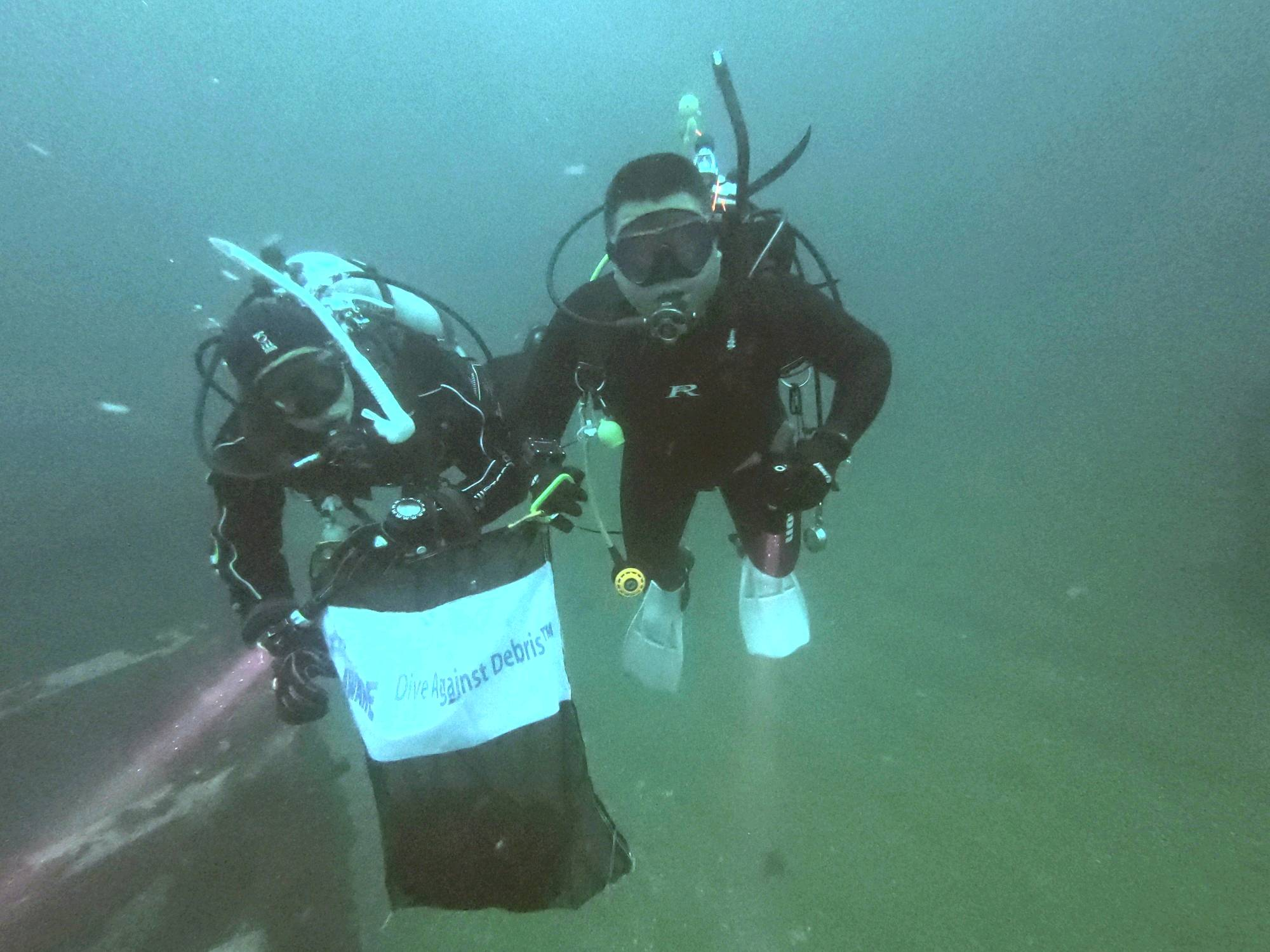
Entangled Help


Use the vertical tabs below to record any entangled animals you found of each type.

ADS10 - Ørneset

67.225682625869, 14.616451263428

18
rock
1
37
1
fishing rod piece
Saltstraumen DykkeCamp
Fredric Ihrsen
1
2
4.00
61
22.00
1.00
measured
63
3000.00
On
kilograms
I have debris data to report
Smooth (wavelets) for waves 0.1 - 0.5 meter high m2
meters
kelp
Norway
Map Help


Dive Location

If you know your survey site coordinates, enter them manually in decimal degrees using WGS84 Map Datum. Use the minus sign for latitudes south of the equator and longitudes west of the Prime Meridian to 180 degrees.

If you do not know your survey site coordinates, click the “Map Location” tab to use the map to zoom into your survey site and drop the pin on the map to fall within your survey dive site in the water (not on land or the beach). Ensure you zoom in as much as possible to ensure data accuracy.
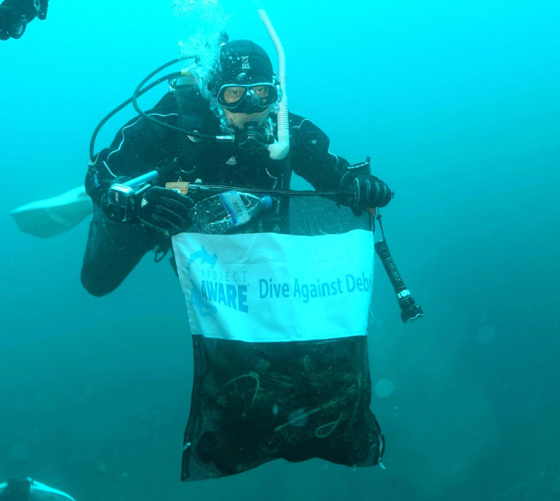
Entangled Help


Use the vertical tabs below to record any entangled animals you found of each type.

New Reef

1

11.926778, 79.878389

sand
Temple Adventures
Donarun Das
4
0.80
10
19.00
12.00
2
measured
25.00
Fishing nets
Rope
On
kilograms
I have debris data to report
Slight for waves 0.5 -1.25 meter high m2
meters
other
India
State\Province
Puducherry
City
Puducherry
Map Help


Dive Location

If you know your survey site coordinates, enter them manually in decimal degrees using WGS84 Map Datum. Use the minus sign for latitudes south of the equator and longitudes west of the Prime Meridian to 180 degrees.

If you do not know your survey site coordinates, click the “Map Location” tab to use the map to zoom into your survey site and drop the pin on the map to fall within your survey dive site in the water (not on land or the beach). Ensure you zoom in as much as possible to ensure data accuracy.
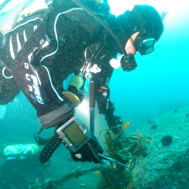
Entangled Help


Use the vertical tabs below to record any entangled animals you found of each type.

Ecosystem Other
artificial reef

Nitrogen Anesthesia

0
0
0
1

38.25614, 128.592046

0
0
0
rock
0
0
0
0
0
Fishing baat
Net
Bongpo Resort
SE UK OH
0
0
0
0
0
0
0
0
0
0
0
0
0
0
0
0
0
0
0
6
0
0
0
0
0
0
0
0
0
0
0
0
0
0
0
0
3.20
26
24.00
16.00
0
measured
0
0
0
0
100.00
0
0
0
0
0
Net
0
On
kilograms
0
I have debris data to report
0
0
0
Calm (glassy to rippled) for waves 0 – 0.1 meter high
0
0
0
0
0
0
0
m2
0
0
meters
rocky reef
0
0
0
0
0
0
0
0
0
0
0
0
0
0
0
0
0
0
0
0
0
0
0
0
0
0
0
0
0
South Korea
State\Province
Gangwon-do
City
Goseung-gun
Map Help


Dive Location

If you know your survey site coordinates, enter them manually in decimal degrees using WGS84 Map Datum. Use the minus sign for latitudes south of the equator and longitudes west of the Prime Meridian to 180 degrees.

If you do not know your survey site coordinates, click the “Map Location” tab to use the map to zoom into your survey site and drop the pin on the map to fall within your survey dive site in the water (not on land or the beach). Ensure you zoom in as much as possible to ensure data accuracy.

Entangled Help


Use the vertical tabs below to record any entangled animals you found of each type.

K2

0
0
0
1

38.265126, 128.584713

0
0
0
rock
0
0
0
0
0
Fishing Boat
Net
K2/Bongpo
SE UK OH
0
0
0
0
0
0
0
0
0
0
0
0
0
0
0
0
0
0
0
5
0
0
0
0
0
0
0
0
0
0
0
0
0
0
0
0
5.20
30
17.00
1.00
0
measured
0
0
0
0
100.00
0
0
0
0
0
Net
Plastic
0
On
kilograms
0
I have debris data to report
0
0
0
Calm (glassy to rippled) for waves 0 – 0.1 meter high
0
0
0
0
0
0
0
m2
0
0
meters
rocky reef
0
0
0
0
0
0
0
0
0
0
0
0
0
0
0
0
0
0
0
0
0
0
0
0
0
0
0
0
0
South Korea
State\Province
Kwangwon-do
City
Goseong-gun
Map Help


Dive Location

If you know your survey site coordinates, enter them manually in decimal degrees using WGS84 Map Datum. Use the minus sign for latitudes south of the equator and longitudes west of the Prime Meridian to 180 degrees.

If you do not know your survey site coordinates, click the “Map Location” tab to use the map to zoom into your survey site and drop the pin on the map to fall within your survey dive site in the water (not on land or the beach). Ensure you zoom in as much as possible to ensure data accuracy.

Entangled Help


Use the vertical tabs below to record any entangled animals you found of each type.

Subscribe to