Menu

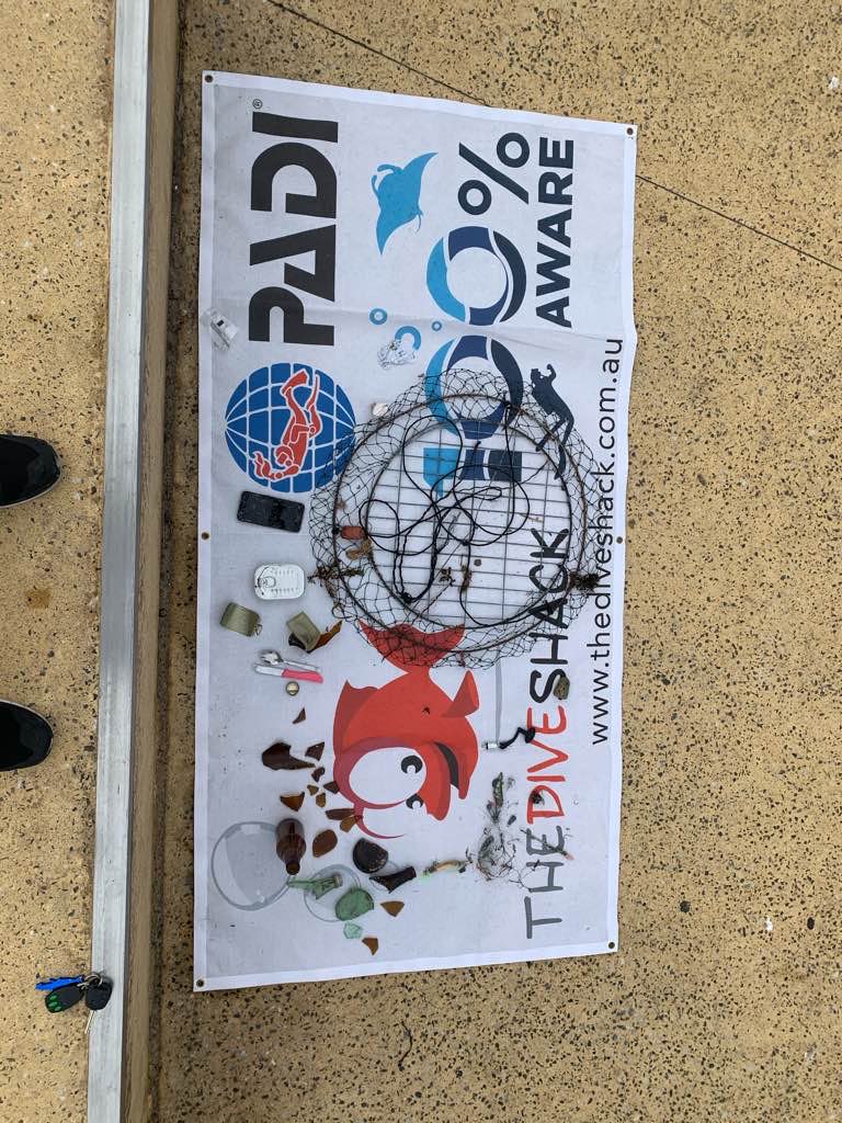
Mykonos, Old Port, 546kgs of trash removed by All For Blue

5
3
7
15
rock
5

37.447430462157, 25.3279062925

World Ocean Day 8th June celebrated in Mykonos by All For Blue in a collaboration with the municipality
Vacuum cleaner, carpets
Calm
1
1
vacuum cleaner
trash bin
ALL FOR BLUE organisation
Katerina Topouzoglou
6
4
7
5
6
16
28
4
17
4
8
1
1
546.00
47
13.00
1.00
3
measured
9379.00
3
8
4
On
kilograms
I have debris data to report
5
Calm (glassy to rippled) for waves 0 – 0.1 meter high
8
3
m2
6
meters
rocky reef
1
22
7
5
124
2
2
Greece
State\Province
Mykonos
City
Mykonos
Map Help


Dive Location

If you know your survey site coordinates, enter them manually in decimal degrees using WGS84 Map Datum. Use the minus sign for latitudes south of the equator and longitudes west of the Prime Meridian to 180 degrees.

If you do not know your survey site coordinates, click the “Map Location” tab to use the map to zoom into your survey site and drop the pin on the map to fall within your survey dive site in the water (not on land or the beach). Ensure you zoom in as much as possible to ensure data accuracy.

Entangled Help


Use the vertical tabs below to record any entangled animals you found of each type.

614kgs of marine debris in Mykonos, Agios Stefanos beach, by All For Blue

7
17
sand
2
121
6
8

37.469163862996, 25.31834229673

calm
ALL FOR BLUE organisation
ALL FOR BLUE
16
5
9
2
56
4
97
54
8
22
17
57
4
43
3
1
614.00
75
8.00
1.00
5
measured
17515.20
14
On
kilograms
I have debris data to report
Calm (glassy to rippled) for waves 0 – 0.1 meter high
26
m2
meters
rocky reef
4
26
8
16
8
3
9
47
3
4
Greece
City
Mykonos
Map Help


Dive Location

If you know your survey site coordinates, enter them manually in decimal degrees using WGS84 Map Datum. Use the minus sign for latitudes south of the equator and longitudes west of the Prime Meridian to 180 degrees.

If you do not know your survey site coordinates, click the “Map Location” tab to use the map to zoom into your survey site and drop the pin on the map to fall within your survey dive site in the water (not on land or the beach). Ensure you zoom in as much as possible to ensure data accuracy.

Entangled Help


Use the vertical tabs below to record any entangled animals you found of each type.

Port Noarlunga Jetty

0
0
0

-35.149427343168, 138.46593270213

3
1
0
sand
0
0
0
3
0
No.
iPhone
Windy and rain
0
0
0
0
0
0
0
0
0
0
0
0
0
0
0
0
0
0
0
0
The Dive Shack
Rodrigo Lopes
0
0
0
0
0
0
0
0
0
0
0
0
0
0
0
0
0
0
2
4
0
0
0
0
0
0
0
0
0
0
0
0
0
1
2.00
55
7.00
5.00
1
estimated
0
11
1000.00
0
0
0
0
0
Fishing gear
Beer bottles
0
On
kilograms
0
I have debris data to report
1
0
0
Smooth (wavelets) for waves 0.1 - 0.5 meter high
0
0
0
0
0
0
0
m2
0
0
meters
coral reef
2
0
0
0
2
2
0
1
0
0
1
0
0
0
0
0
1
0
0
0
0
0
20
0
0
0
0
0
0
Australia
State\Province
SA
City
Port Noarlunga
Map Help


Dive Location

If you know your survey site coordinates, enter them manually in decimal degrees using WGS84 Map Datum. Use the minus sign for latitudes south of the equator and longitudes west of the Prime Meridian to 180 degrees.

If you do not know your survey site coordinates, click the “Map Location” tab to use the map to zoom into your survey site and drop the pin on the map to fall within your survey dive site in the water (not on land or the beach). Ensure you zoom in as much as possible to ensure data accuracy.

Entangled Help


Use the vertical tabs below to record any entangled animals you found of each type.

ADS584 - Holyrood Marina

2
3

47.389329, -53.126462

silt
Open water dives for course OW-2020-006 were cancelled the previous weekend due to the remnants of a tropical storm on Saturday and almost zero visibility on Sunday. The four ladies on the course worked up a schedule so we could get them all completed over the next couple of weeks. On September 27 two of four, Catie Y and Tara S finished up their open water dives. Great job. They also completed their drysuit diver certification. For those not familiar with piggy backing the drysuit course on the open water diver course you need to know that they do six confined water dives instead of five and five open water dives instead of four. Besides practicing the skill of diving there is one skill that stands out on the fifth dive, disconnect and reconnect the drysuit LPI whip. Then we tour. I like to throw in some u/w nav skills and when appropriate, a dive against debris. The ladies for up for that today, in a big way! As was DMT Dwain N. Their mission was to navigate a square and load up the capture bag with debris. A bag normally used for the responsible harvesting sea and Icelandic scallops. Our start/end spot was clearly marked. Their navigation was spot on. As was their assault on the debris. Dwain managed the collection and lift bag. The ladies multi tasked well. They knocked off training skills, navigation and collected a sack full of debris. Funny thing, of all the dives where one might expect the bottom to be stirred up the most, they stirred this up the least. The girls demonstrated strong trim and buoyancy skills. Lots to be proud of today. Great job gang.
Inflatable plastic chair. The large chair could be used by an adult recreationally for floating on the sea, lake or pool.
High winds, clear skies, warm temps.
1
1
1
plastic mesh window screen
vinyl siding
plastic inflatable chair
Ocean Quest Adventures
McGowan Mark
2
1
2
4
1
1
35.00
20
36.00
20.00
estimated
2500.00
glass beverage containers represented about 64% of the debris removed today.
On
pounds
I have debris data to report
41
1
Slight for waves 0.5 -1.25 meter high
1
ft2
feet
kelp
1
4
1
Canada
State\Province
NL
City
Holyrood
Map Help


Dive Location

If you know your survey site coordinates, enter them manually in decimal degrees using WGS84 Map Datum. Use the minus sign for latitudes south of the equator and longitudes west of the Prime Meridian to 180 degrees.

If you do not know your survey site coordinates, click the “Map Location” tab to use the map to zoom into your survey site and drop the pin on the map to fall within your survey dive site in the water (not on land or the beach). Ensure you zoom in as much as possible to ensure data accuracy.

Entangled Help


Use the vertical tabs below to record any entangled animals you found of each type.

ADS216 - USCG Duane

0
0
0
0

24.98966667, -80.382

0
0
0
sand
0
0
0
8
0
Fishing
Rainbow Reef Dive Center/FKNMS
Richard L
0
0
0
0
0
0
0
0
0
0
0
0
0
0
0
0
0
0
0
1
0
0
0
0
0
0
0
0
0
0
0
0
0
0
0
0
1.00
40
100.00
60.00
0
estimated
0
0
0
7
10821.40
0
0
0
0
0
0
On
pounds
0
I have debris data to report
0
0
0
Calm (glassy to rippled) for waves 0 – 0.1 meter high
0
0
0
0
0
0
0
ft2
0
0
feet
coral reef
0
0
0
0
0
0
0
0
0
0
0
0
0
0
0
1
0
0
0
0
0
0
0
0
0
0
0
0
0
United States
State\Province
Florida
City
Key Largo
Map Help


Dive Location

If you know your survey site coordinates, enter them manually in decimal degrees using WGS84 Map Datum. Use the minus sign for latitudes south of the equator and longitudes west of the Prime Meridian to 180 degrees.

If you do not know your survey site coordinates, click the “Map Location” tab to use the map to zoom into your survey site and drop the pin on the map to fall within your survey dive site in the water (not on land or the beach). Ensure you zoom in as much as possible to ensure data accuracy.

Entangled Help


Use the vertical tabs below to record any entangled animals you found of each type.

ADS217 - Minnow Cave

0
0
0
0

25.131619, -80.292778

1
0
0
sand
0
0
0
0
0
Lobstering
Rainbow Reef Dive Center/FKNMS
Noah
0
0
0
0
0
0
0
0
1
0
0
0
0
0
0
0
0
0
0
1
0
0
0
0
0
0
0
0
1
0
0
0
0
0
0
0
4.00
45
25.00
10.00
0
estimated
0
0
0
0
11167.30
0
0
0
0
0
0
On
pounds
0
I have debris data to report
0
0
0
Calm (glassy to rippled) for waves 0 – 0.1 meter high
0
0
0
0
0
0
0
ft2
1
0
feet
coral reef
0
0
0
0
0
0
0
0
0
0
0
0
0
0
0
0
0
0
0
0
0
0
0
0
0
0
0
0
0
United States
State\Province
Florida
City
Key Largo
Map Help


Dive Location

If you know your survey site coordinates, enter them manually in decimal degrees using WGS84 Map Datum. Use the minus sign for latitudes south of the equator and longitudes west of the Prime Meridian to 180 degrees.

If you do not know your survey site coordinates, click the “Map Location” tab to use the map to zoom into your survey site and drop the pin on the map to fall within your survey dive site in the water (not on land or the beach). Ensure you zoom in as much as possible to ensure data accuracy.

Entangled Help


Use the vertical tabs below to record any entangled animals you found of each type.

ADS27 - Permit Ledges

0
0
0
0

25.007575, -80.377769

1
0
0
sand
0
0
0
0
0
Fishing
Rainbow Reef Dive Center/FKNMS
Jonathan
0
0
0
0
0
0
0
0
0
0
0
0
0
0
0
0
0
0
0
1
0
0
0
0
0
0
0
0
0
0
0
0
0
0
0
0
1.00
45
30.00
15.00
0
estimated
0
0
0
0
11736.50
0
0
0
0
0
0
On
pounds
0
I have debris data to report
0
0
0
Calm (glassy to rippled) for waves 0 – 0.1 meter high
0
0
0
0
0
0
0
ft2
0
0
feet
coral reef
0
0
0
0
0
0
0
0
0
0
0
0
0
0
0
0
0
0
0
0
0
0
0
0
0
0
0
0
0
United States
State\Province
Florida
City
Key Largo
Map Help


Dive Location

If you know your survey site coordinates, enter them manually in decimal degrees using WGS84 Map Datum. Use the minus sign for latitudes south of the equator and longitudes west of the Prime Meridian to 180 degrees.

If you do not know your survey site coordinates, click the “Map Location” tab to use the map to zoom into your survey site and drop the pin on the map to fall within your survey dive site in the water (not on land or the beach). Ensure you zoom in as much as possible to ensure data accuracy.

Entangled Help


Use the vertical tabs below to record any entangled animals you found of each type.

Conch wall

0
0
0
0

24.93635339591, -80.477183591159

0
0
0
sand
0
0
0
2
0
Fishing
1
Anchor
Rainbow Reef Dive Center/ FKNMS
Jake
0
0
0
0
0
0
0
0
0
0
0
0
0
0
0
0
0
0
0
1
0
0
0
0
0
0
0
0
0
0
0
0
0
0
0
0
15.00
45
80.00
60.00
0
estimated
1
0
0
0
16766.20
0
0
0
0
0
0
On
pounds
0
I have debris data to report
0
0
0
Calm (glassy to rippled) for waves 0 – 0.1 meter high
0
0
0
0
0
0
0
ft2
0
0
feet
coral reef
0
0
0
0
0
0
0
0
0
0
0
0
0
0
0
0
0
0
0
0
0
0
0
0
0
0
0
0
0
United States
State\Province
Florida
City
Key largo
Map Help


Dive Location

If you know your survey site coordinates, enter them manually in decimal degrees using WGS84 Map Datum. Use the minus sign for latitudes south of the equator and longitudes west of the Prime Meridian to 180 degrees.

If you do not know your survey site coordinates, click the “Map Location” tab to use the map to zoom into your survey site and drop the pin on the map to fall within your survey dive site in the water (not on land or the beach). Ensure you zoom in as much as possible to ensure data accuracy.

Entangled Help


Use the vertical tabs below to record any entangled animals you found of each type.

ADS216 - USCG Duane

0
3
0
0

24.98966667, -80.382

0
0
0
sand
0
0
0
0
0
Diving
Rainbow Reef Dive Center/FKNMS
Jo
0
0
0
0
0
0
0
0
0
0
0
0
0
0
0
0
0
0
0
1
0
0
0
0
0
0
0
0
0
0
0
0
0
0
0
0
0.00
40
100.00
60.00
0
estimated
0
0
0
0
11867.40
0
0
0
0
0
0
On
pounds
0
I have debris data to report
0
0
0
Calm (glassy to rippled) for waves 0 – 0.1 meter high
0
0
0
0
0
0
0
ft2
0
0
feet
coral reef
0
0
0
0
0
0
0
0
0
0
0
0
0
0
0
0
0
0
0
0
0
0
0
0
0
0
0
0
0
United States
State\Province
Florida
City
Key Largo
Map Help


Dive Location

If you know your survey site coordinates, enter them manually in decimal degrees using WGS84 Map Datum. Use the minus sign for latitudes south of the equator and longitudes west of the Prime Meridian to 180 degrees.

If you do not know your survey site coordinates, click the “Map Location” tab to use the map to zoom into your survey site and drop the pin on the map to fall within your survey dive site in the water (not on land or the beach). Ensure you zoom in as much as possible to ensure data accuracy.

Entangled Help


Use the vertical tabs below to record any entangled animals you found of each type.

ADS406 - Caletta Torre Lapillo

10
3
3

40.282637542416, 17.8389108181

2
2
rock
1
2
5
Orca Diving Center
Grazia Palmisano
4
2
1
1
1
2
0
6
6
1
1
1
3
3
1
1
8.00
45
7.00
1.00
1
estimated
2
1
1
50.00
2
5
1
On
kilograms
I have debris data to report
1
Calm (glassy to rippled) for waves 0 – 0.1 meter high
4
1
2
m2
1
meters
rocky reef
5
0
1
1
0
1
1
1
0
1
7
2
Italy
State\Province
Lecce
City
Porto Cesareo
Map Help


Dive Location

If you know your survey site coordinates, enter them manually in decimal degrees using WGS84 Map Datum. Use the minus sign for latitudes south of the equator and longitudes west of the Prime Meridian to 180 degrees.

If you do not know your survey site coordinates, click the “Map Location” tab to use the map to zoom into your survey site and drop the pin on the map to fall within your survey dive site in the water (not on land or the beach). Ensure you zoom in as much as possible to ensure data accuracy.

Entangled Help


Use the vertical tabs below to record any entangled animals you found of each type.

Subscribe to