The Wall-Fan Garden
16
11.8183, 79.923933
10
Initially, ~10 were dead, 6 injured, 4 alive (set free).
2 of the injured were foaming, some had claws and joints missing.
All the injured perished within 3 hours of surfacing
2 of the injured were foaming, some had claws and joints missing.
All the injured perished within 3 hours of surfacing
Around 10% were just skeletons
Temple Adventures
Donarun Das
14
25
21.90
65
34.00
26.00
5
measured
22
300.00
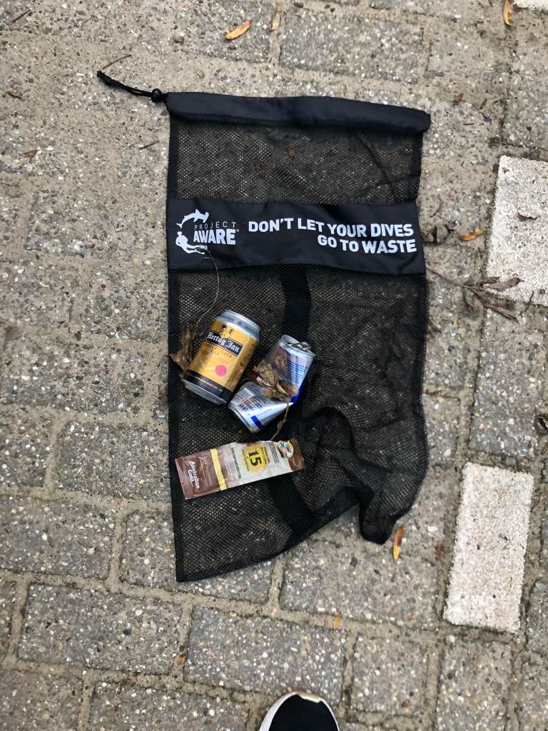
Fishing Nets
Fishing Lines
Fishing Hooks
On
kilograms
I have debris data to report
Slight for waves 0.5 -1.25 meter high
Fishing Nets
Dead
Small Fish
Crabs
Dead
20
37
Fishing Nets
m2
meters
coral reef
State\Province
Puducherry
City
Puducherry
Map Help
Dive Location
If you know your survey site coordinates, enter them manually in decimal degrees using WGS84 Map Datum. Use the minus sign for latitudes south of the equator and longitudes west of the Prime Meridian to 180 degrees.
If you do not know your survey site coordinates, click the “Map Location” tab to use the map to zoom into your survey site and drop the pin on the map to fall within your survey dive site in the water (not on land or the beach). Ensure you zoom in as much as possible to ensure data accuracy.
Entangled Help