Menu

Khao Nayak

1
3
0
10

8.579515, 98.212846

0
0
0
coral
7
1
0
0
0
NA
Stormy
Go2Similan
Liane Fulford
0
0
0
0
0
0
0
0
0
0
0
0
0
1
0
0
0
0
0
4
0
0
0
0
0
0
2
0
0
0
0
0
0
0
0
0
20.00
41
9.00
5.00
7
estimated
0
0
0
0
3669.25
0
0
0
0
0
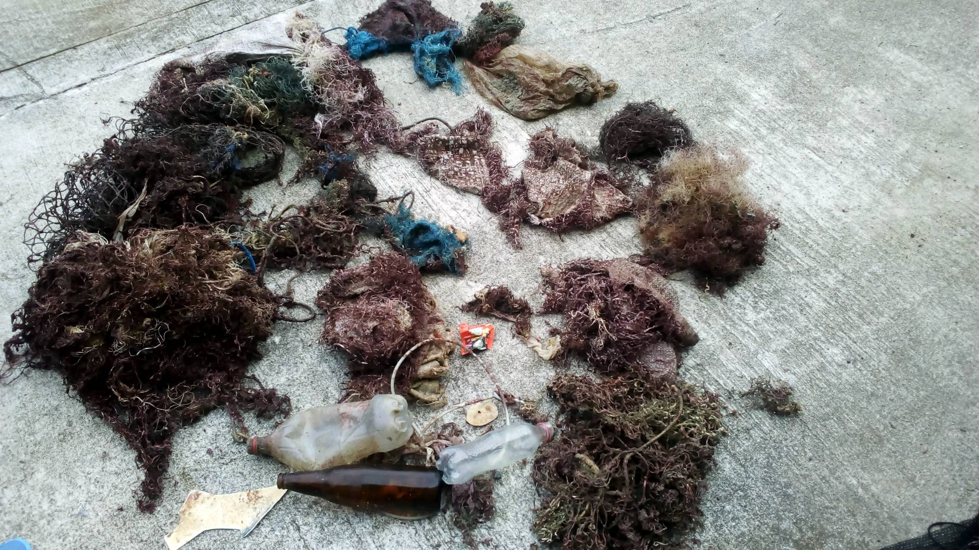
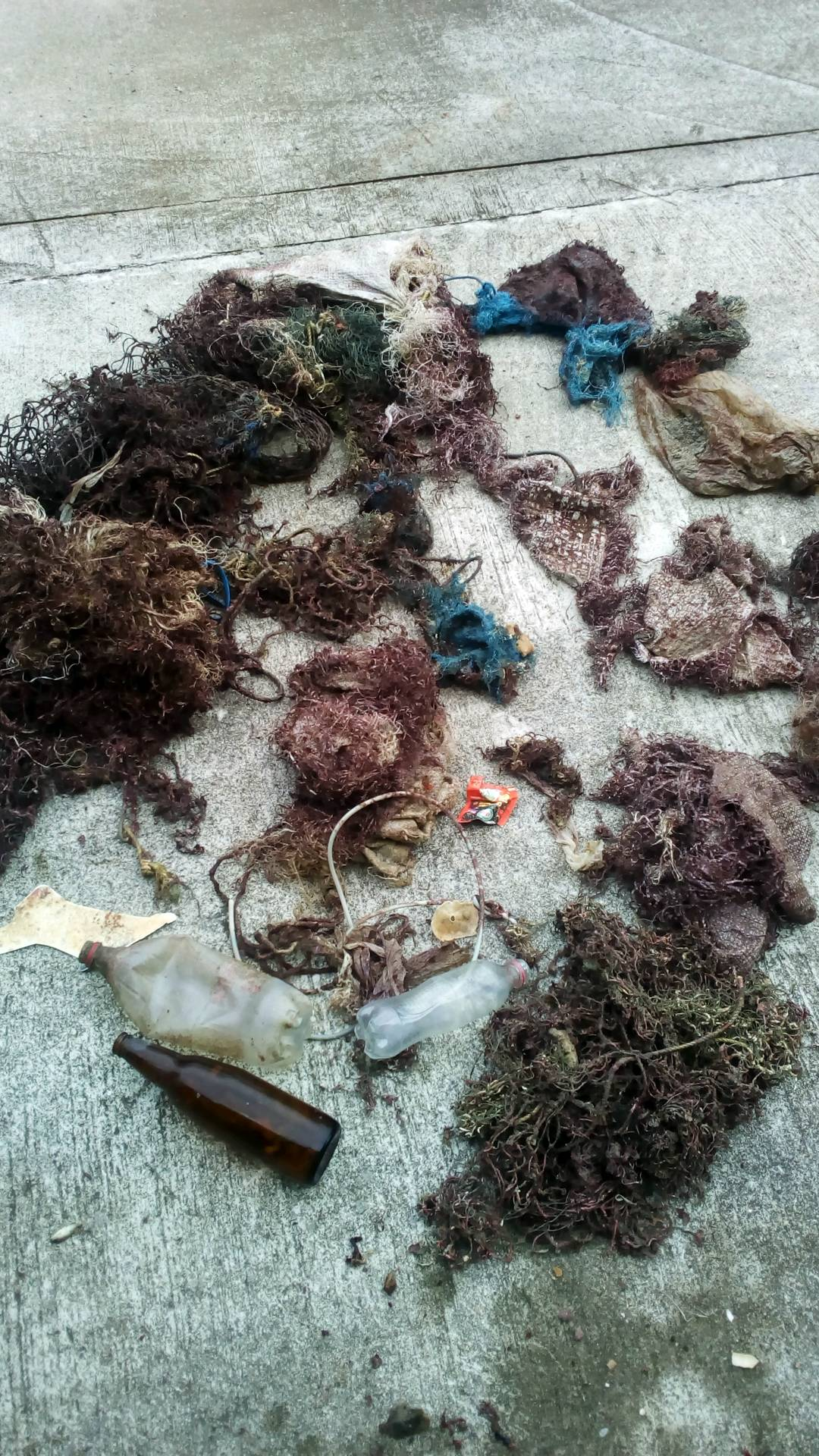
Fishing nets
Sand bags
0
On
kilograms
0
I have debris data to report
1
0
0
Slight for waves 0.5 -1.25 meter high
0
0
1
0
0
0
0
m2
0
0
1
Fishing net
Conch Shell
Dead
meters
rocky reef
0
0
0
0
0
0
0
0
0
0
0
0
0
0
0
0
0
0
0
0
0
0
0
0
0
0
0
0
0
Thailand
Map Help


Dive Location

If you know your survey site coordinates, enter them manually in decimal degrees using WGS84 Map Datum. Use the minus sign for latitudes south of the equator and longitudes west of the Prime Meridian to 180 degrees.

If you do not know your survey site coordinates, click the “Map Location” tab to use the map to zoom into your survey site and drop the pin on the map to fall within your survey dive site in the water (not on land or the beach). Ensure you zoom in as much as possible to ensure data accuracy.

Entangled Help


Use the vertical tabs below to record any entangled animals you found of each type.

Urasoe

0
0
0

26.274678588941, 127.71389840427

0
0
0
rock
0
0
0
0
0
No
No
No
Paper
Sun
0
0
0
0
0
0
0
0
0
0
0
0
0
0
0
0
0
0
0
0
Marine house SEASIR
Chingchih Kung
0
0
0
0
0
0
0
0
0
0
0
0
0
0
0
0
0
0
0
5
0
1
0
0
0
0
0
0
0
0
0
0
0
0
0.50
36
8.00
3.00
0
estimated
0
3
952.55
0
0
0
0
0
0
On
kilograms
0
I have debris data to report
0
0
0
Calm (glassy to rippled) for waves 0 – 0.1 meter high
0
0
0
0
0
0
0
m2
0
0
meters
coral reef
0
0
0
0
0
0
0
0
0
0
0
0
0
0
0
0
0
0
0
0
0
0
0
0
0
0
0
0
Japan
State\Province
Okinawa
City
Urasoe city
Map Help


Dive Location

If you know your survey site coordinates, enter them manually in decimal degrees using WGS84 Map Datum. Use the minus sign for latitudes south of the equator and longitudes west of the Prime Meridian to 180 degrees.

If you do not know your survey site coordinates, click the “Map Location” tab to use the map to zoom into your survey site and drop the pin on the map to fall within your survey dive site in the water (not on land or the beach). Ensure you zoom in as much as possible to ensure data accuracy.

Entangled Help


Use the vertical tabs below to record any entangled animals you found of each type.

Blairgowrie Yacht Squadron

3
1
sand
20

-38.358302551554, 144.77265491442

2
1
2
1
1
Chicken Bones
Dried Apple
Marine vertebrate skeletons
Shoe lace
PPE Face mask
Ocean Divers
Liz Harper
6
17
1
4.00
80
6.00
1.00
estimated
1
3
50.00
Fishing Line
Cigarette Butts
Bottle caps
On
kilograms
I have debris data to report
Smooth (wavelets) for waves 0.1 - 0.5 meter high
0
m2
meters
other
2
4
4
1
Australia
State\Province
Victoria
City
Bentleigh East
Map Help


Dive Location

If you know your survey site coordinates, enter them manually in decimal degrees using WGS84 Map Datum. Use the minus sign for latitudes south of the equator and longitudes west of the Prime Meridian to 180 degrees.

If you do not know your survey site coordinates, click the “Map Location” tab to use the map to zoom into your survey site and drop the pin on the map to fall within your survey dive site in the water (not on land or the beach). Ensure you zoom in as much as possible to ensure data accuracy.

Entangled Help


Use the vertical tabs below to record any entangled animals you found of each type.

Ecosystem Other
Pier, sponge covered pylons

Lembeh Resort House Reef

1.456911, 125.241935

coral
24

1.4573221015453, 125.24171977118

Rainy
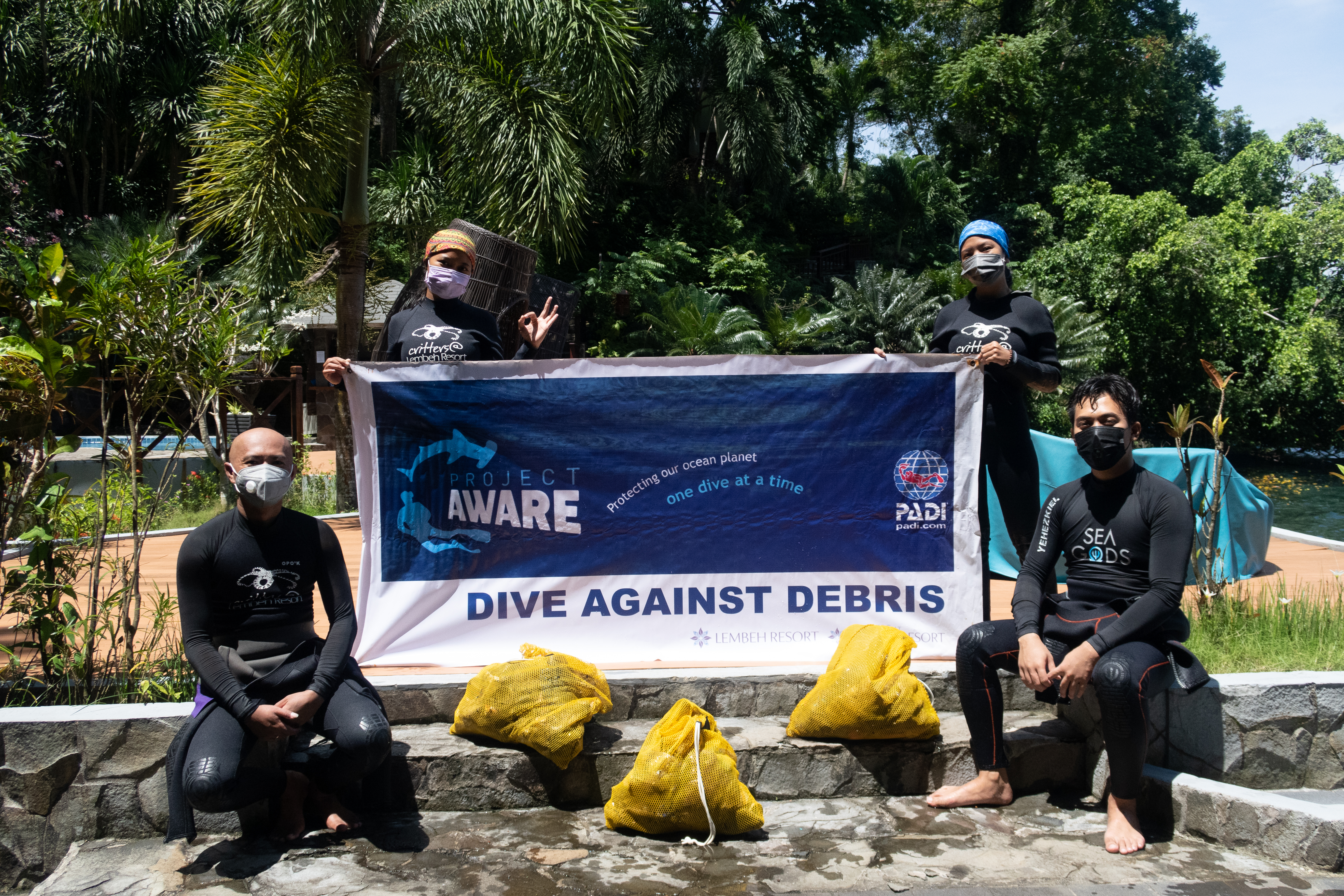
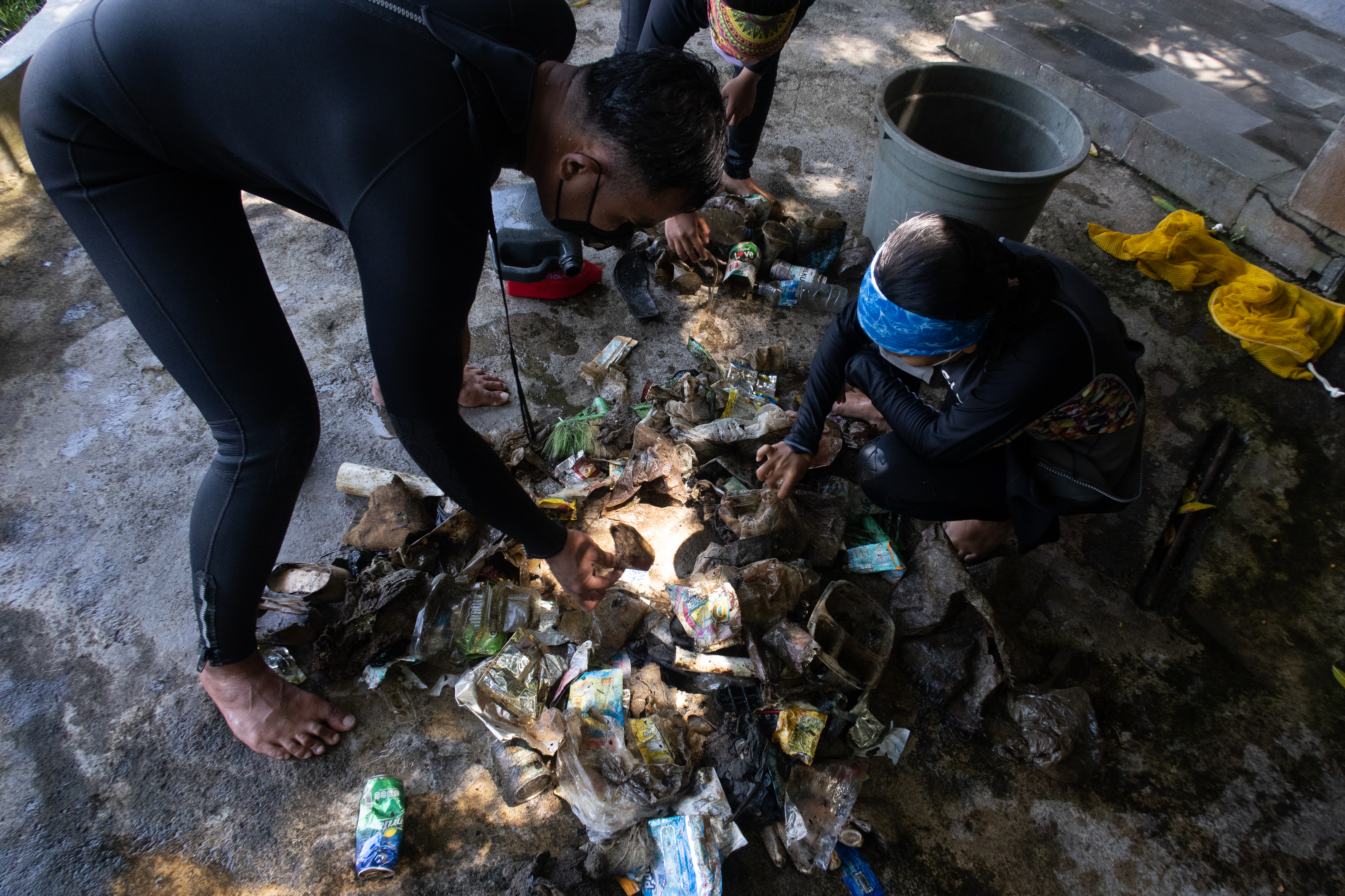
Critters@Lembeh Resort
Yehezkiel Marpaung
2
2
5
88
70
7.00
50
10.00
1.00
estimated
200.00
On
kilograms
I have debris data to report
Smooth (wavelets) for waves 0.1 - 0.5 meter high
2
2
m2
meters
coral reef
2
Indonesia
State\Province
North Sulawesi
City
Bitung
Map Help


Dive Location

If you know your survey site coordinates, enter them manually in decimal degrees using WGS84 Map Datum. Use the minus sign for latitudes south of the equator and longitudes west of the Prime Meridian to 180 degrees.

If you do not know your survey site coordinates, click the “Map Location” tab to use the map to zoom into your survey site and drop the pin on the map to fall within your survey dive site in the water (not on land or the beach). Ensure you zoom in as much as possible to ensure data accuracy.

Entangled Help


Use the vertical tabs below to record any entangled animals you found of each type.

Mooloolaba Spit

3
15
0
1

-26.680934, 153.133089

30
0
0
sand
0
0
0
200
0
Popular fishing spot
No
Sunshine Coast Clean Up Divers
Elliot
0
0
0
2
0
0
0
0
0
0
0
0
0
0
0
0
0
4
0
3
0
0
1
0
0
2
1
0
0
0
0
0
0
0
0
0
5.00
110
5.00
1.00
0
estimated
0
0
1
180
2078.10
0
0
0
2
0
Fishing line
0
On
kilograms
0
I have debris data to report
2
0
0
Smooth (wavelets) for waves 0.1 - 0.5 meter high
0
0
0
0
2
0
0
m2
0
0
meters
other
1
0
0
0
0
5
0
1
0
1
0
0
0
0
0
5
1
1
0
0
0
0
5
0
1
0
0
0
0
Australia
State\Province
Queensland
City
Mooloolaba
Map Help


Dive Location

If you know your survey site coordinates, enter them manually in decimal degrees using WGS84 Map Datum. Use the minus sign for latitudes south of the equator and longitudes west of the Prime Meridian to 180 degrees.

If you do not know your survey site coordinates, click the “Map Location” tab to use the map to zoom into your survey site and drop the pin on the map to fall within your survey dive site in the water (not on land or the beach). Ensure you zoom in as much as possible to ensure data accuracy.

Entangled Help


Use the vertical tabs below to record any entangled animals you found of each type.

Mooloolaba Spit

0
10
0
0

-26.681039, 153.133195

3
0
0
sand
0
0
0
40
0
Popular fishing spot
No
Sunny and calm
Sunshine Coast Clean Up Divers
Elliot
0
0
0
0
0
0
0
0
0
0
0
0
0
0
0
0
0
0
0
2
0
0
0
0
0
0
0
0
0
1
0
0
0
0
0
0
0.50
100
4.00
1.00
2
measured
0
0
0
40
1515.88
0
0
0
0
0
Fishing line
0
On
kilograms
0
I have debris data to report
0
0
0
Calm (glassy to rippled) for waves 0 – 0.1 meter high
0
0
0
0
1
0
0
m2
0
0
meters
other
0
0
1
0
0
0
0
0
0
0
0
0
0
0
0
3
0
2
0
0
0
0
2
0
0
0
0
0
0
Australia
State\Province
Queensland
City
Mooloolaba
Map Help


Dive Location

If you know your survey site coordinates, enter them manually in decimal degrees using WGS84 Map Datum. Use the minus sign for latitudes south of the equator and longitudes west of the Prime Meridian to 180 degrees.

If you do not know your survey site coordinates, click the “Map Location” tab to use the map to zoom into your survey site and drop the pin on the map to fall within your survey dive site in the water (not on land or the beach). Ensure you zoom in as much as possible to ensure data accuracy.

Entangled Help


Use the vertical tabs below to record any entangled animals you found of each type.

Jetty Pemutaran

180
50
15
5

-8.1434, 114.6608

0
0
0
sand
0
12
0
13
0
Yes
Metal and glass
NA
Good
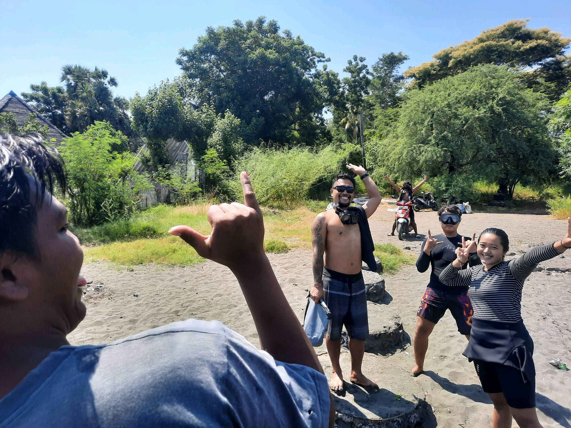
Abyss Ocean World/ Easy Divers Bali/Friends Of Pemuteran
Komang Supartayasa
0
0
0
0
0
0
0
0
0
0
19
0
0
0
32
0
0
0
0
6
0
0
0
0
55
0
3
0
0
0
0
0
0
0
0
0
42.00
60
15.00
4.00
12
estimated
0
0
0
0
845.00
0
0
0
0
0
Plastic wraper
Net
Diapers
0
On
kilograms
0
I have debris data to report
0
0
0
Calm (glassy to rippled) for waves 0 – 0.1 meter high
0
0
5
Dead
Fish
1
NA
0
0
0
14
m2
0
0
meters
seagrass
0
0
0
0
0
0
0
0
0
12
0
0
0
0
0
0
0
0
0
0
0
0
0
0
0
0
0
0
0
Indonesia
State\Province
Bali
City
Pemuteran
Map Help


Dive Location

If you know your survey site coordinates, enter them manually in decimal degrees using WGS84 Map Datum. Use the minus sign for latitudes south of the equator and longitudes west of the Prime Meridian to 180 degrees.

If you do not know your survey site coordinates, click the “Map Location” tab to use the map to zoom into your survey site and drop the pin on the map to fall within your survey dive site in the water (not on land or the beach). Ensure you zoom in as much as possible to ensure data accuracy.

Entangled Help


Use the vertical tabs below to record any entangled animals you found of each type.

ADS63 - Molasses Deep

0
0
0
0

25.005026, -80.367879

0
0
0
coral
0
0
0
1
0
No
Trap
Fair
1
Anchor
Rainbow Reef Dive Center
Nate Sterns
0
0
0
0
0
0
0
0
0
0
0
0
0
0
0
0
0
0
0
6
0
0
0
0
0
0
0
0
0
0
0
0
0
0
0
0
60.00
800
800.00
100.00
1
estimated
0
1
0
0
800.00
0
0
0
0
0
Trap
Anchor
0
On
pounds
0
I have debris data to report
0
0
0
Calm (glassy to rippled) for waves 0 – 0.1 meter high
0
0
0
0
0
0
0
ft2
0
0
feet
coral reef
0
0
0
0
0
0
0
0
0
0
0
0
0
0
0
0
0
0
0
0
0
0
0
0
0
0
0
0
0
United States
State\Province
Florida
City
Key Largo
Map Help


Dive Location

If you know your survey site coordinates, enter them manually in decimal degrees using WGS84 Map Datum. Use the minus sign for latitudes south of the equator and longitudes west of the Prime Meridian to 180 degrees.

If you do not know your survey site coordinates, click the “Map Location” tab to use the map to zoom into your survey site and drop the pin on the map to fall within your survey dive site in the water (not on land or the beach). Ensure you zoom in as much as possible to ensure data accuracy.

Entangled Help


Use the vertical tabs below to record any entangled animals you found of each type.

Grand Anse Artificial Reef - Grenada

25
16
2
3
0
1
0
sand
0
30
0
0
0

12.02277852915, -61.766565968775

NO
Kite
Weather conditions very dry but sea swell was quite significant
Dive Grenada
Phil Saye
2
2
1
9
0
0
0
0
1
3
0
0
0
2
0
0
0
3
0
16
0
0
2
0
0
0
17
0
0
2
0
0
0
0
0
0
20.00
300
5.00
1.00
0
estimated
0
0
0
0
15000.00
0
0
0
0
0
Kite with lots of string
Plastic bottles
Plastic bags
0
On
kilograms
0
I have debris data to report
7
0
0
Smooth (wavelets) for waves 0.1 - 0.5 meter high
3
0
3
0
7
0
0
m2
0
0
meters
other
0
0
0
0
0
0
2
0
0
3
0
0
0
0
0
0
3
18
0
0
0
0
0
0
0
0
0
0
0
Grenada
City
St. Georges
Map Help


Dive Location

If you know your survey site coordinates, enter them manually in decimal degrees using WGS84 Map Datum. Use the minus sign for latitudes south of the equator and longitudes west of the Prime Meridian to 180 degrees.

If you do not know your survey site coordinates, click the “Map Location” tab to use the map to zoom into your survey site and drop the pin on the map to fall within your survey dive site in the water (not on land or the beach). Ensure you zoom in as much as possible to ensure data accuracy.
Entangled Help


Use the vertical tabs below to record any entangled animals you found of each type.

Ecosystem Other
Artificial Reef

Deep French

0
0
0
0

25.034473, -80.351873

0
0
0
coral
0
0
0
0
0
No
Fair
Rainbow Reef Dive Center
Nate Sterns
0
0
0
0
0
0
0
0
0
0
0
0
0
0
0
0
0
0
0
6
0
0
0
0
0
0
0
0
0
0
0
0
0
0
0
2
5.00
30
1000.00
100.00
0
estimated
0
0
0
0
1000.00
0
0
0
0
0
Line
Traps
0
On
pounds
0
I have debris data to report
1
2
0
Calm (glassy to rippled) for waves 0 – 0.1 meter high
0
0
0
0
0
0
0
ft2
0
0
feet
coral reef
0
0
0
0
0
0
0
0
0
0
0
0
0
0
0
0
0
0
0
0
0
0
0
1
0
0
0
0
0
United States
State\Province
Florida
City
Key Largo
Map Help


Dive Location

If you know your survey site coordinates, enter them manually in decimal degrees using WGS84 Map Datum. Use the minus sign for latitudes south of the equator and longitudes west of the Prime Meridian to 180 degrees.

If you do not know your survey site coordinates, click the “Map Location” tab to use the map to zoom into your survey site and drop the pin on the map to fall within your survey dive site in the water (not on land or the beach). Ensure you zoom in as much as possible to ensure data accuracy.
Entangled Help


Use the vertical tabs below to record any entangled animals you found of each type.

Subscribe to