Ship Rock- Catalina Island
33.4625, -118.4917
1
rock
3
33.3878856, -118.4163103
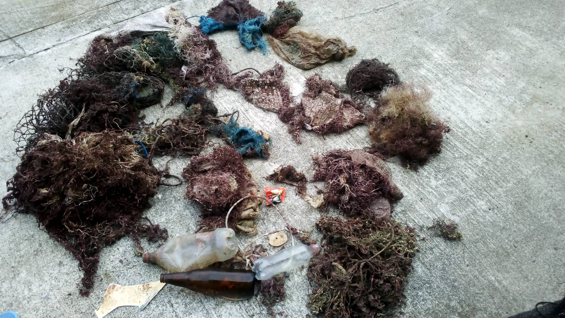
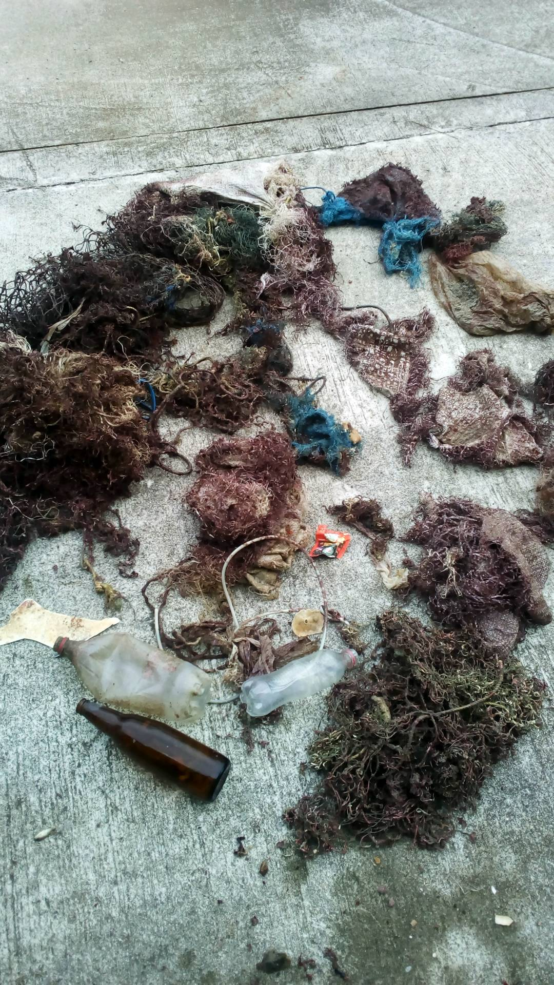
It's really sad to see fishing line and hooks with dead animals entangled and hooked
NA
mild- 70 degrees, little to no wind
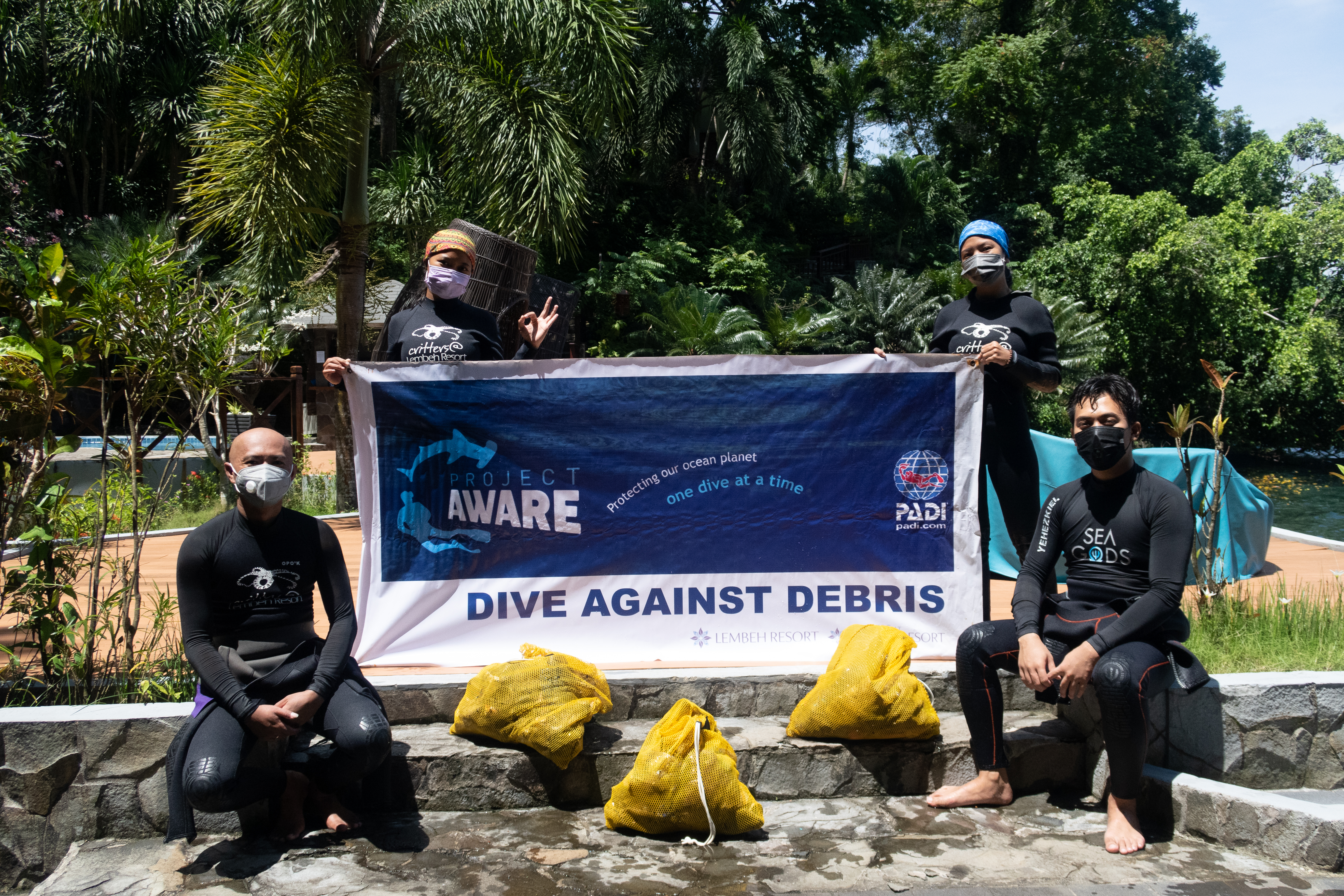
PCH Scuba
Kim Elsner
2
4
1
1
6.00
37
120.00
20.00
estimated
110.00
Fishing line with hooks
On
pounds
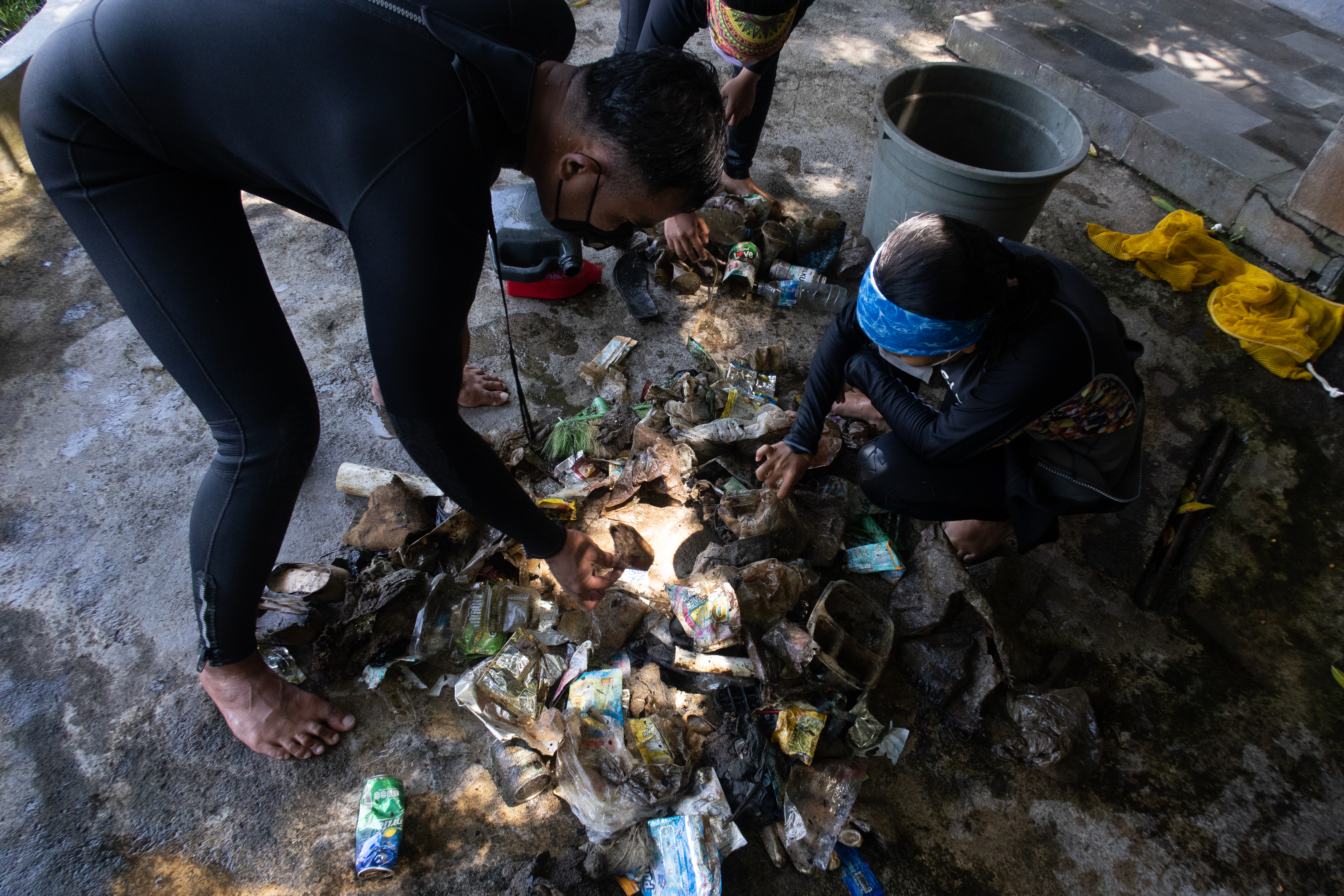
I have debris data to report
1
Smooth (wavelets) for waves 0.1 - 0.5 meter high
Dead
Calico Bass
2
Calico Bass
ft2
feet
kelp
State\Province
CA
City
Agoura Hills
Map Help
Dive Location
If you know your survey site coordinates, enter them manually in decimal degrees using WGS84 Map Datum. Use the minus sign for latitudes south of the equator and longitudes west of the Prime Meridian to 180 degrees.
If you do not know your survey site coordinates, click the “Map Location” tab to use the map to zoom into your survey site and drop the pin on the map to fall within your survey dive site in the water (not on land or the beach). Ensure you zoom in as much as possible to ensure data accuracy.
Entangled Help