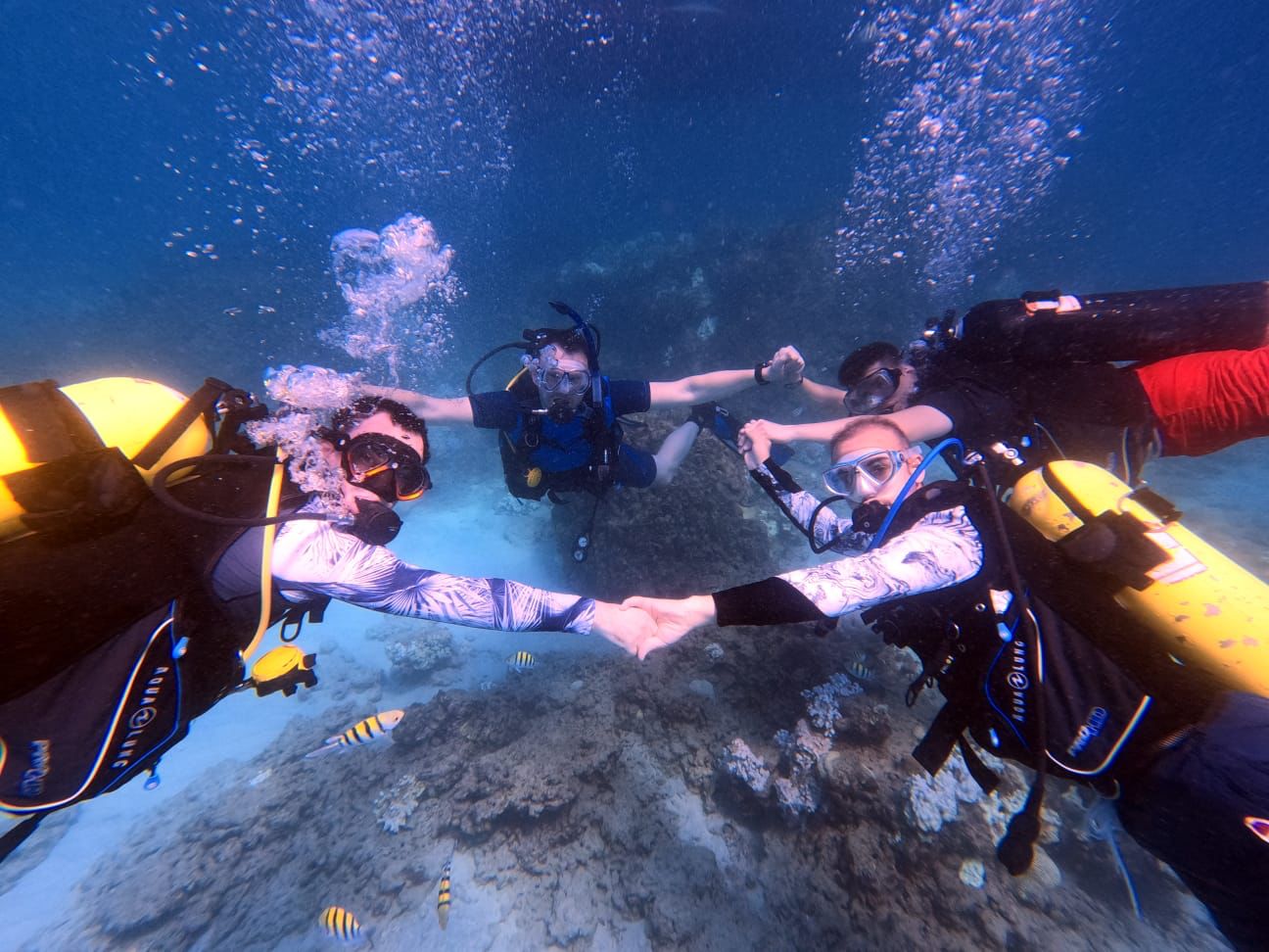
Piscinas Naturais da Praia da Jatiúca - Maceió
58
1
8
7
sand
10
-9.6546784652049, -35.697196187624
No
covid mask
good weather
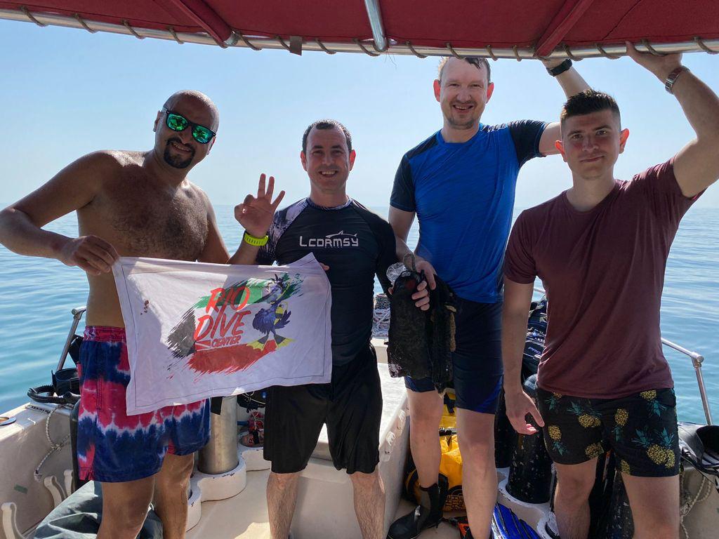
Let's Dive
Fernanda Paiva
11
1
7
10
4
250.00
120
4.00
2.00
measured
1
500.00
1
1
1
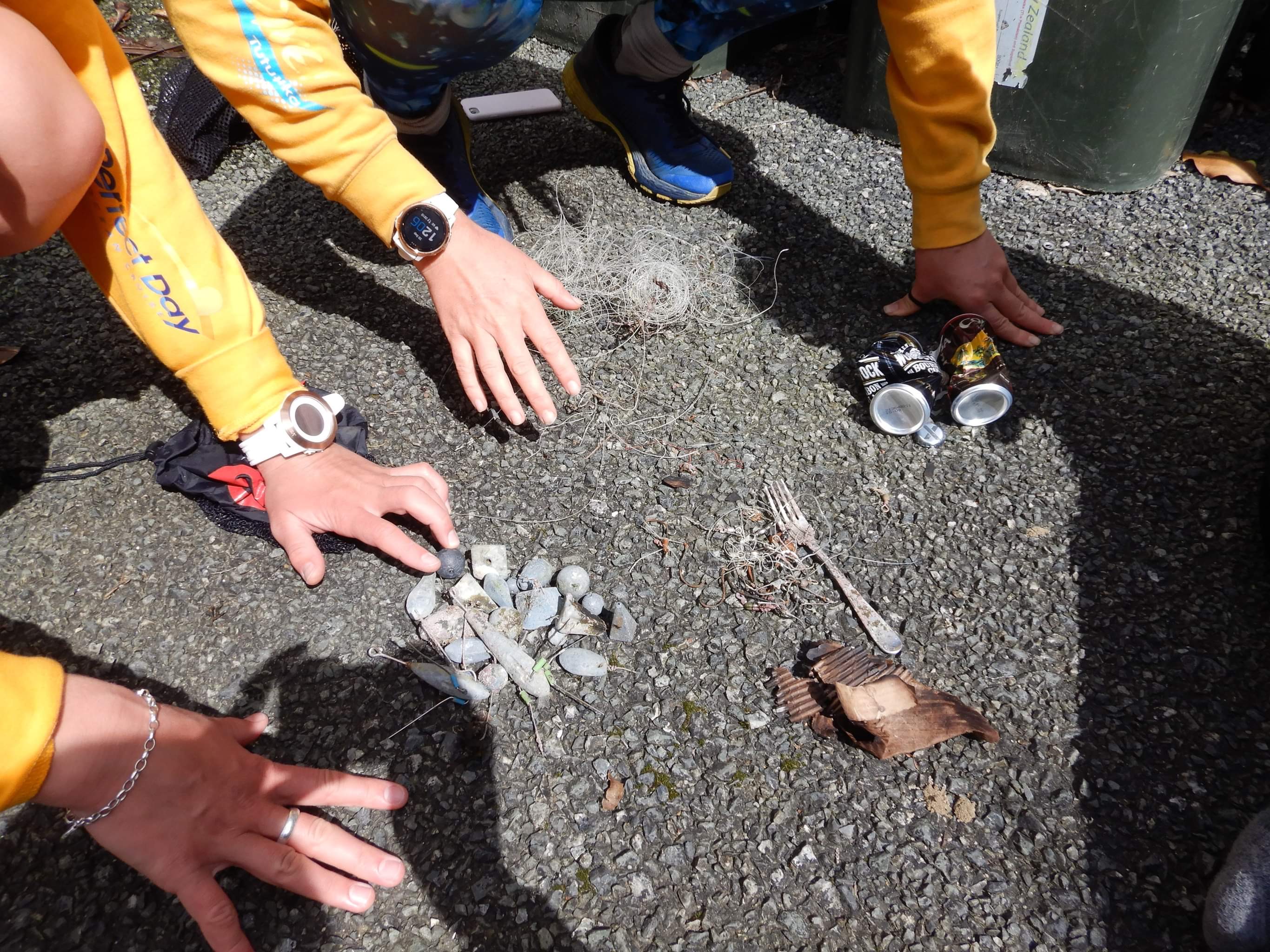
food wrappers (plastic)
bags-grocery/retail (plastic)
covid mask
On
kilograms
I have debris data to report
7
Calm (glassy to rippled) for waves 0 – 0.1 meter high
1
1
5
m2


3
5
meters
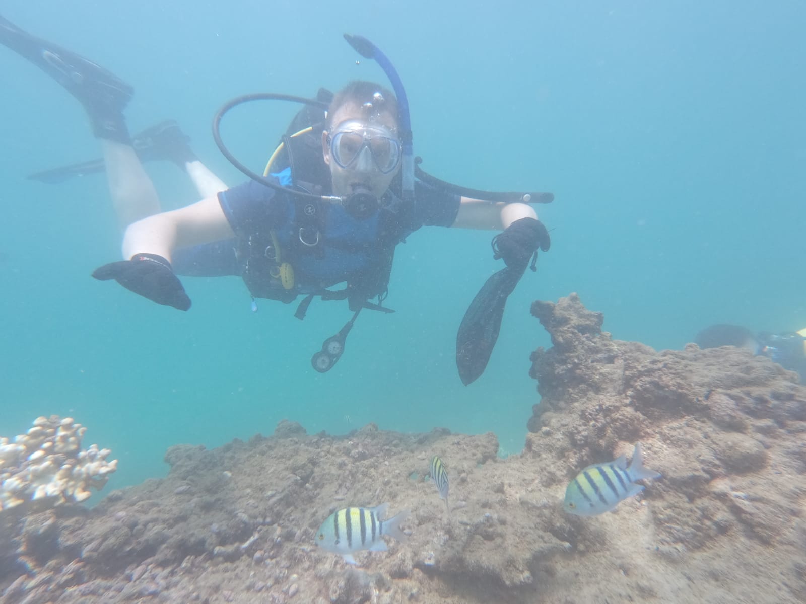
rocky reef
16
3
3
1
1
State\Province
Alagoas
City
Maceió
Map Help
Dive Location
If you know your survey site coordinates, enter them manually in decimal degrees using WGS84 Map Datum. Use the minus sign for latitudes south of the equator and longitudes west of the Prime Meridian to 180 degrees.
If you do not know your survey site coordinates, click the “Map Location” tab to use the map to zoom into your survey site and drop the pin on the map to fall within your survey dive site in the water (not on land or the beach). Ensure you zoom in as much as possible to ensure data accuracy.
Entangled Help