Cat Lake
1
1
1
silt
7
49.799038902555, -123.10942925159
no
rain
8
1
1
12
1
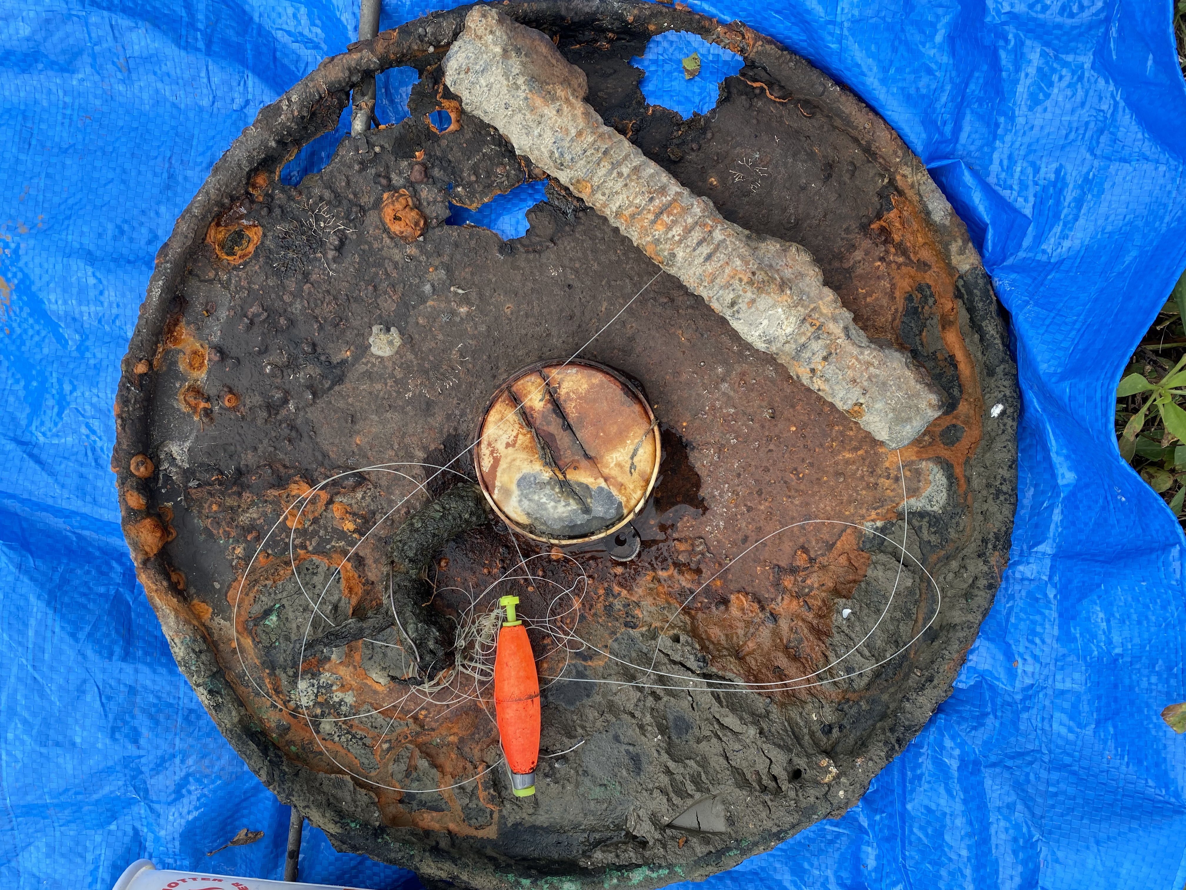
boat paddles
PVC anchor bag
aluminum weed grinder
sunglasses
dog collar
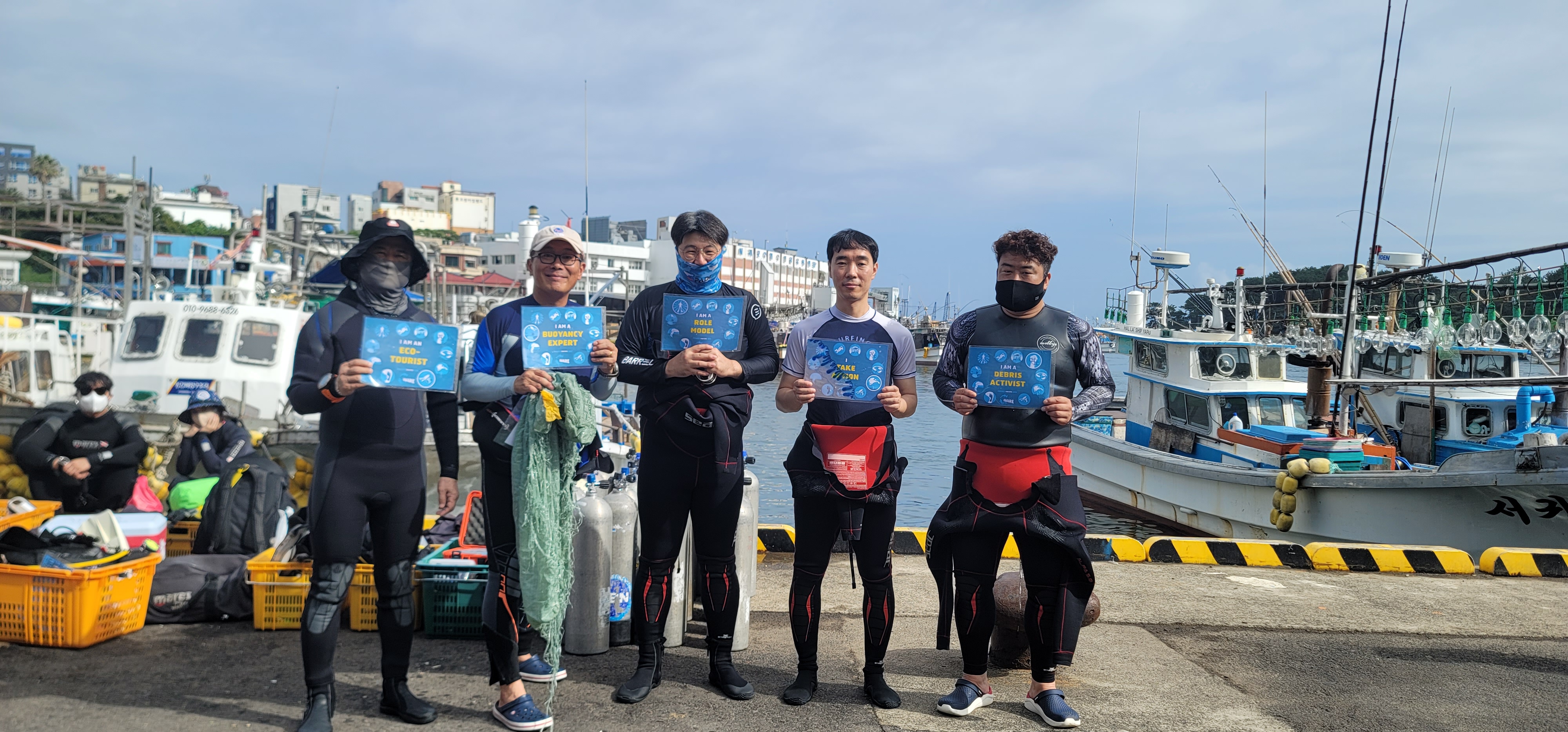
Divers for Cleaner Lakes and Oceans
Henry Wang
7
3
1
4
66.30
47
47.00
20.00
1
measured
2
3200.00
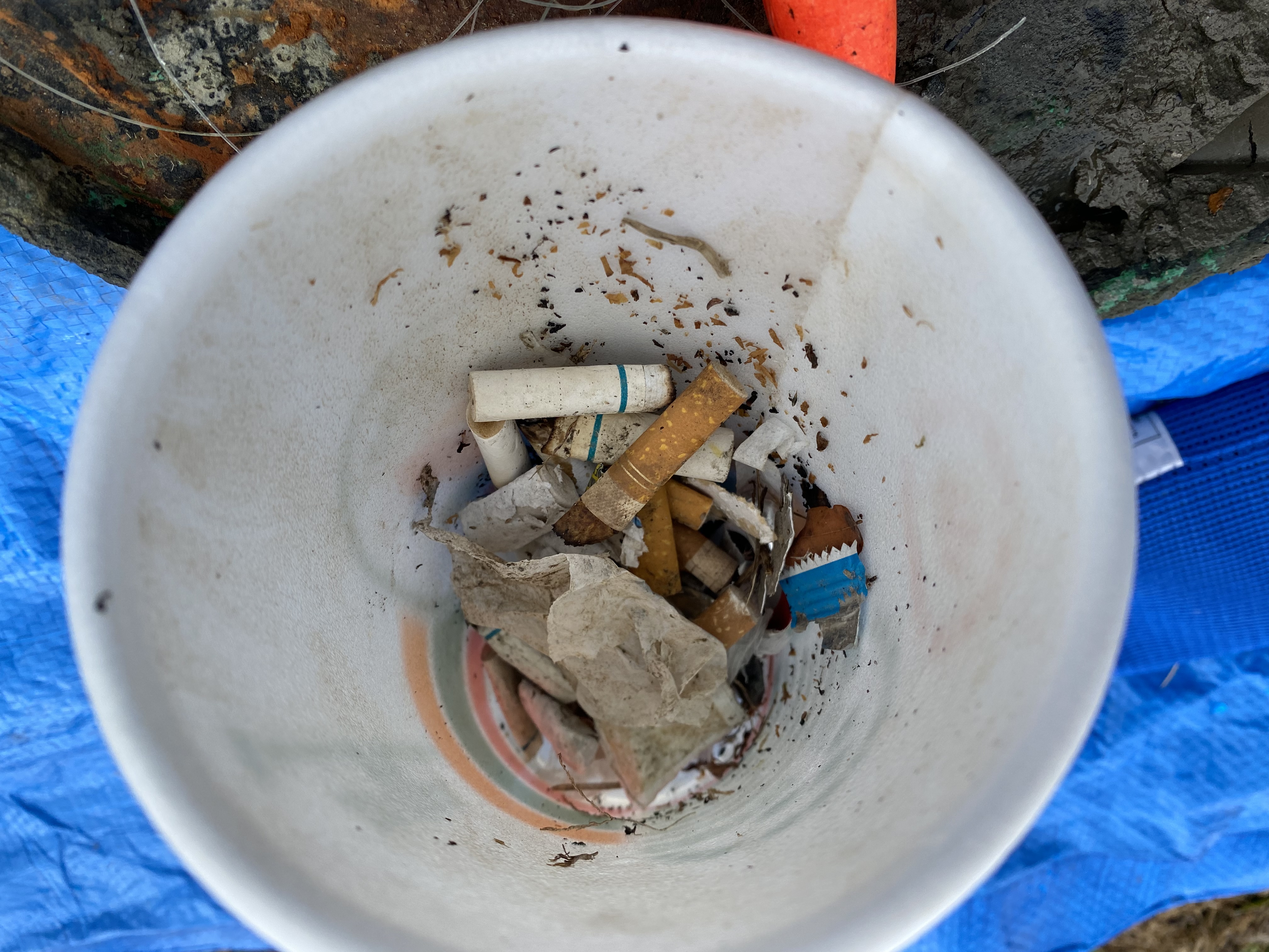
beer cans
On
pounds
I have debris data to report
28
Calm (glassy to rippled) for waves 0 – 0.1 meter high
ft2


feet
other
5
136
State\Province
British Columbia
City
North Vancouver
Map Help
Dive Location
If you know your survey site coordinates, enter them manually in decimal degrees using WGS84 Map Datum. Use the minus sign for latitudes south of the equator and longitudes west of the Prime Meridian to 180 degrees.
If you do not know your survey site coordinates, click the “Map Location” tab to use the map to zoom into your survey site and drop the pin on the map to fall within your survey dive site in the water (not on land or the beach). Ensure you zoom in as much as possible to ensure data accuracy.
Entangled Help
Use the vertical tabs below to record any entangled animals you found of each type.
Ecosystem Other
silt