Pulau Berhala, Pahang
6
3.2719779205322, 103.67093333836
40
coral
49
None
No
No
None
Calm
Scuba DoBeDo Divers
Tom CHan
12
36
22.00
42
20.00
16.00
estimated
2
15000.00
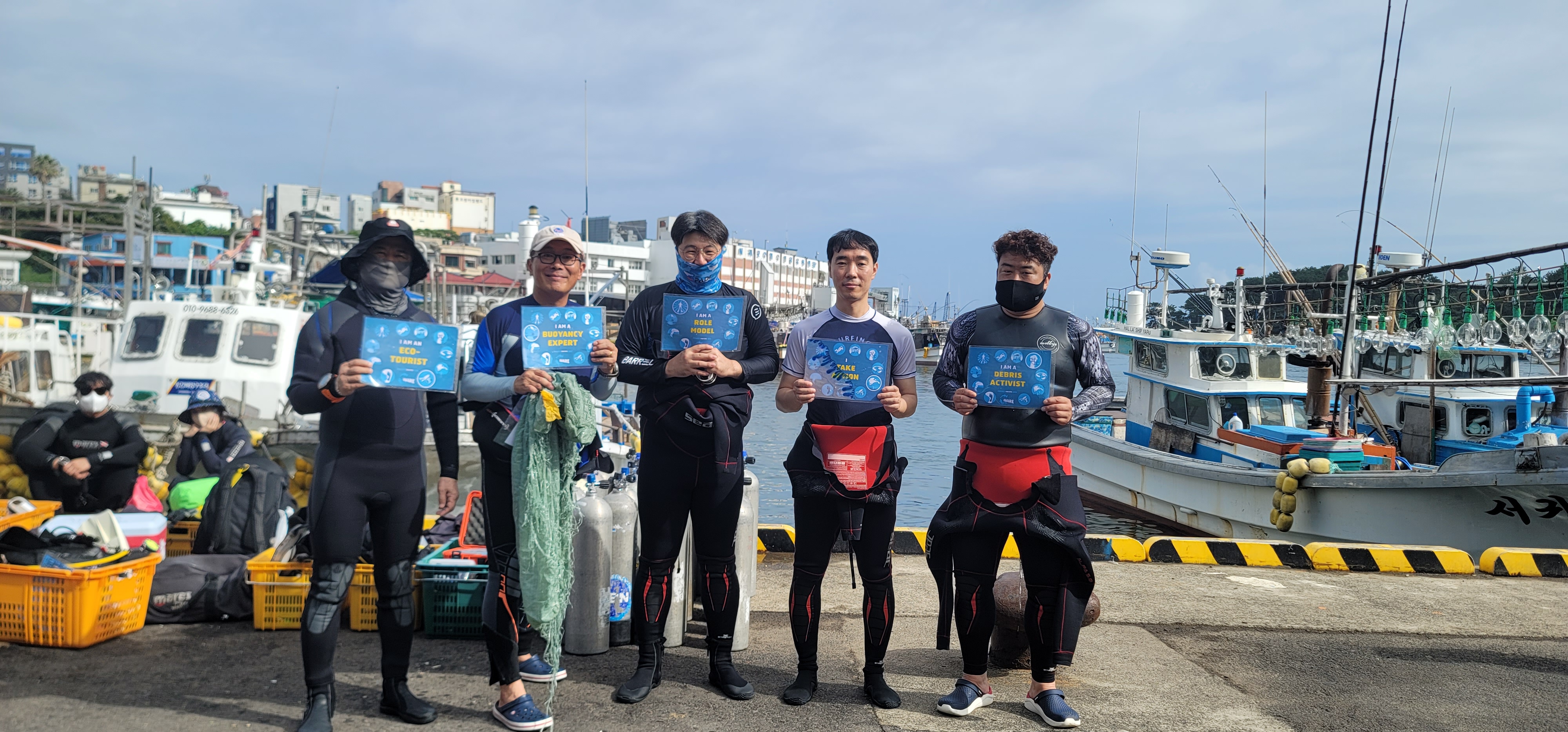
Ghost nets
On
kilograms
I have debris data to report
Calm (glassy to rippled) for waves 0 – 0.1 meter high
Fishing net
Cone shell
Released Unharmed
6
ft2


meters
rocky reef
State\Province
Selangor
City
Cheras
Map Help
Dive Location
If you know your survey site coordinates, enter them manually in decimal degrees using WGS84 Map Datum. Use the minus sign for latitudes south of the equator and longitudes west of the Prime Meridian to 180 degrees.
If you do not know your survey site coordinates, click the “Map Location” tab to use the map to zoom into your survey site and drop the pin on the map to fall within your survey dive site in the water (not on land or the beach). Ensure you zoom in as much as possible to ensure data accuracy.
Entangled Help