Mae Haad Reef North - Koh Tao
36
52
18
sand
36
11
10.086703900456, 99.824993973185
World Oceans Day 2022 Clean
Toolkit
Calm
Black Turtle Dive
Steve Minks
6
4
15
42
54
12
88.00
45
3.00
1.00
18
measured
500.00
1
11
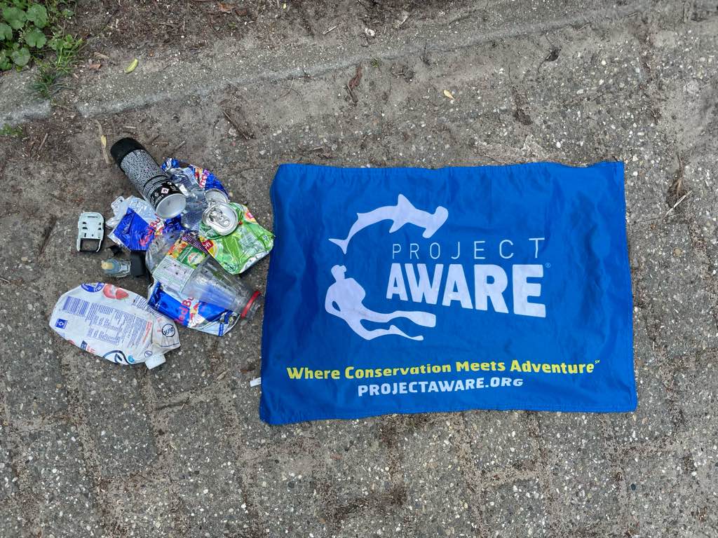
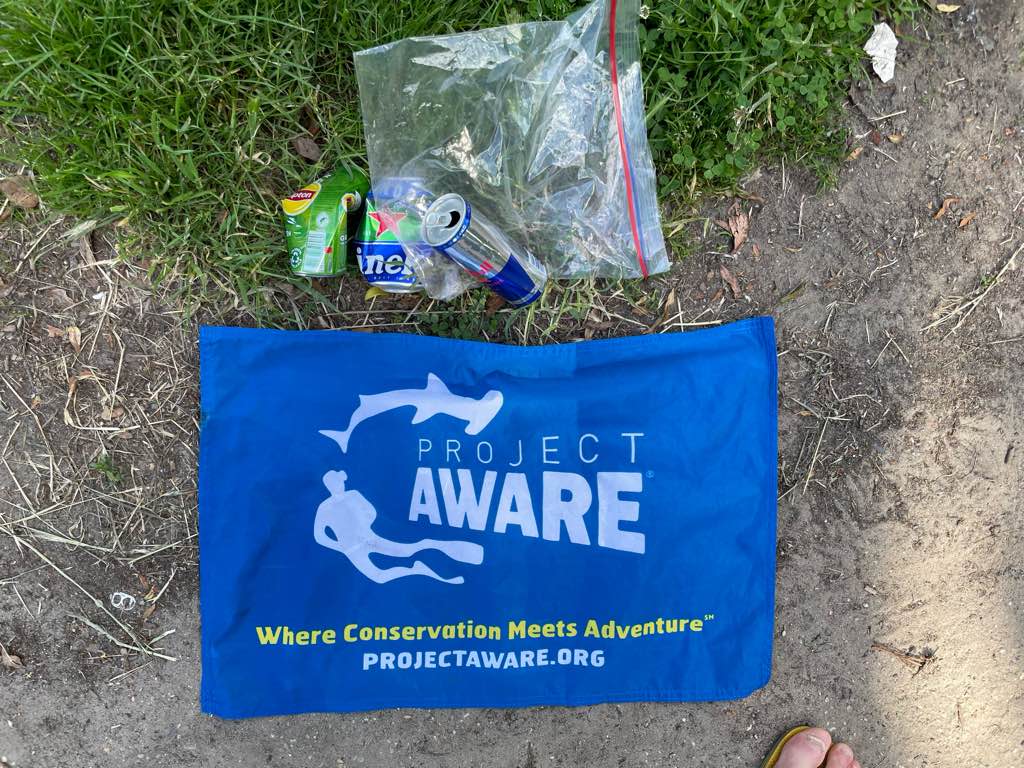
Plastic Fragments
Plastic Bottles
Rope
On
kilograms
I have debris data to report
36
Calm (glassy to rippled) for waves 0 – 0.1 meter high
2
rope
Reef Crabs & Shrimp
Released Unharmed
3
m2
1
plastic bag
Sea Cucumber
Released Unharmed
meters
coral reef
42
7
3
38
State\Province
Surat Thani
City
Koh Tao
Map Help
Dive Location
If you know your survey site coordinates, enter them manually in decimal degrees using WGS84 Map Datum. Use the minus sign for latitudes south of the equator and longitudes west of the Prime Meridian to 180 degrees.
If you do not know your survey site coordinates, click the “Map Location” tab to use the map to zoom into your survey site and drop the pin on the map to fall within your survey dive site in the water (not on land or the beach). Ensure you zoom in as much as possible to ensure data accuracy.
Entangled Help