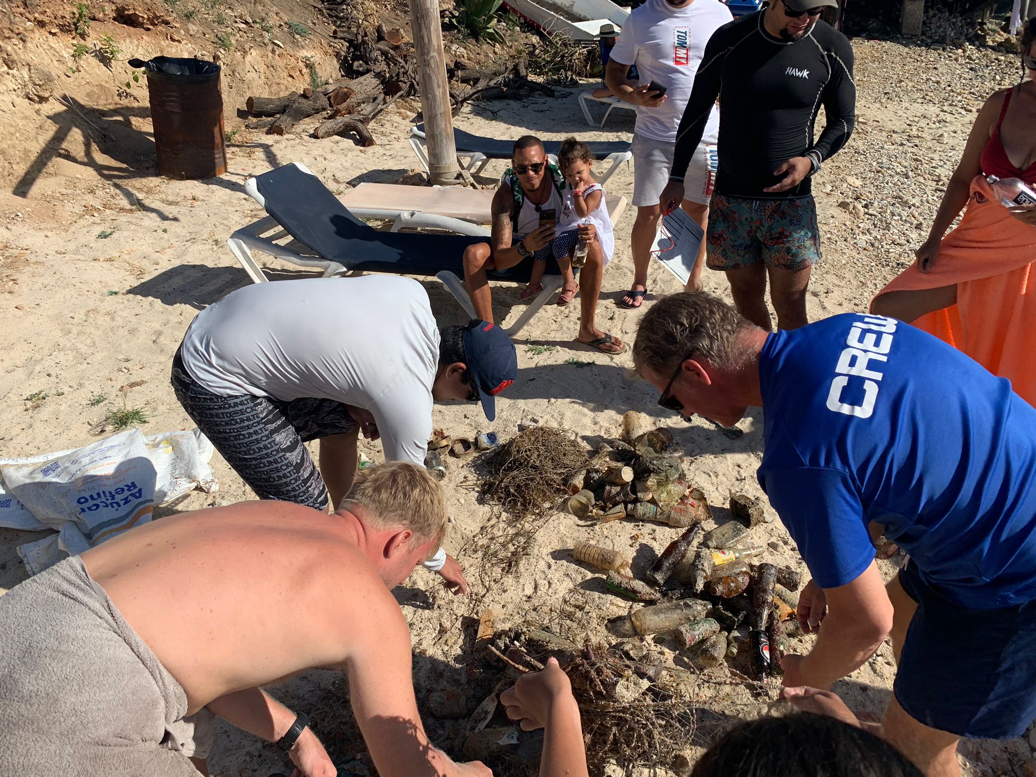
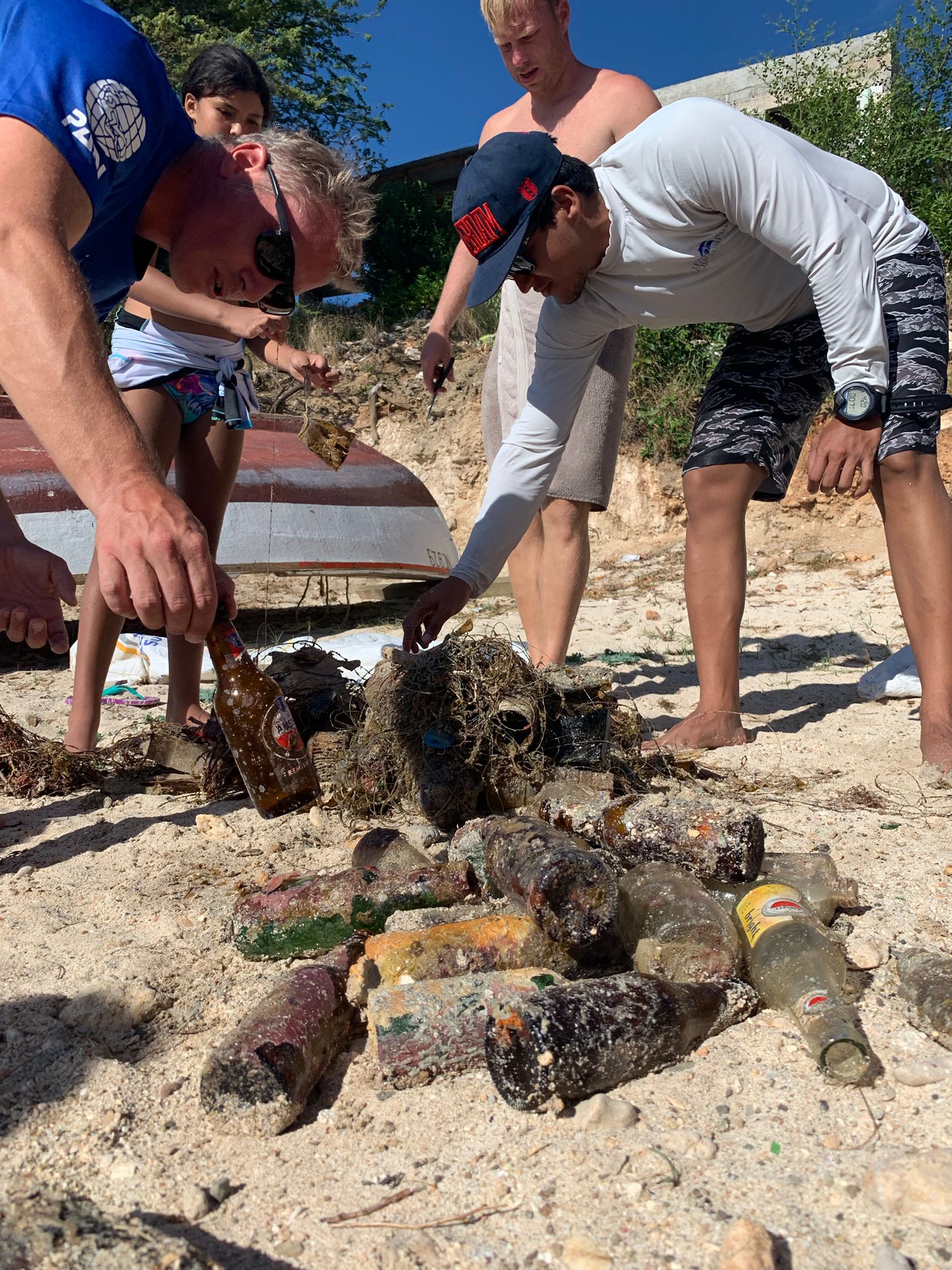
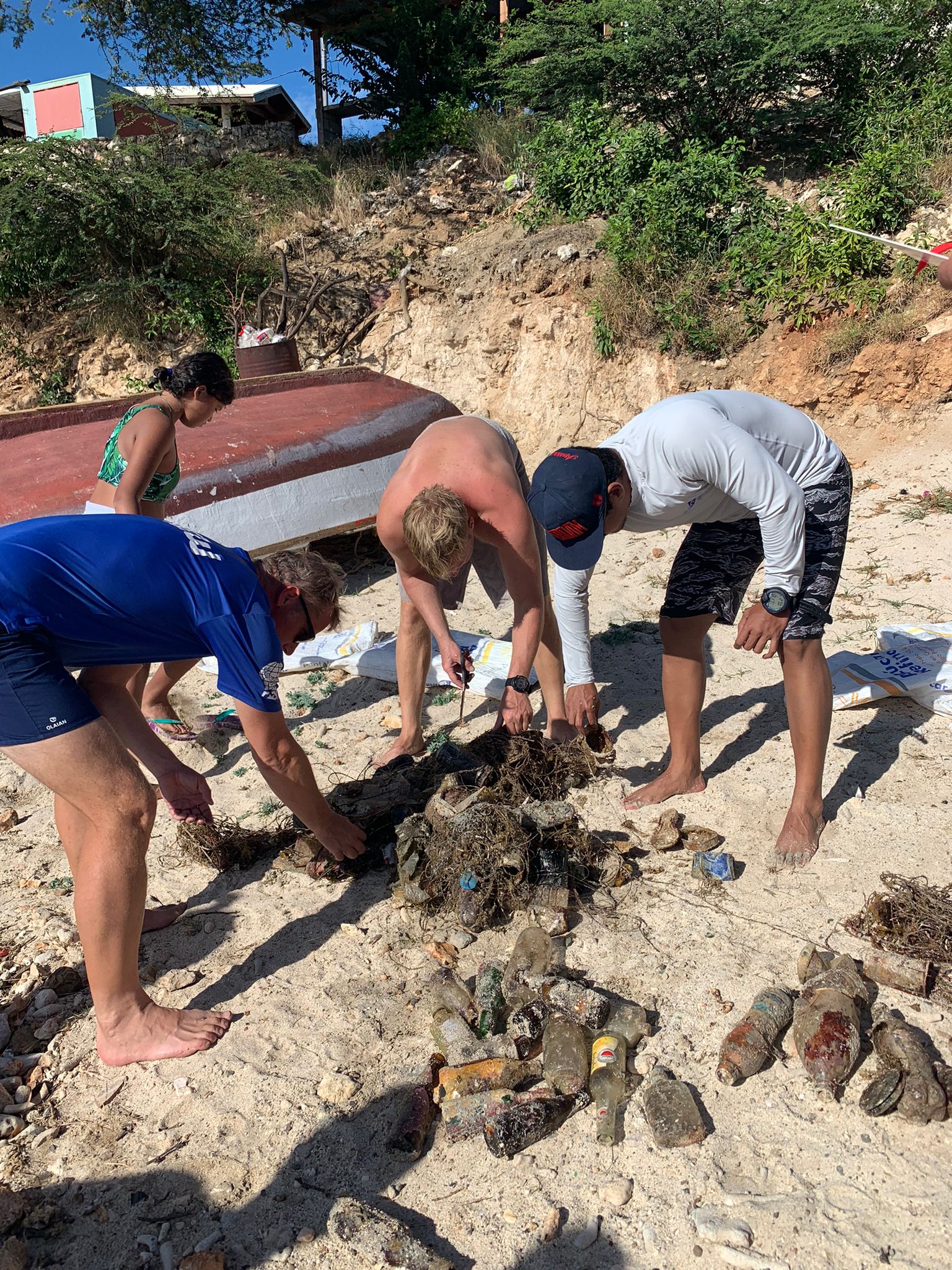
DROC - La Puntilla
13
29
19.761028, -70.520556
Fake Nail
Dry and hot
2
1
1
3
3
Zip Ties
Fibreglass
Fake Nail
Hairbands
Menstrual Pad
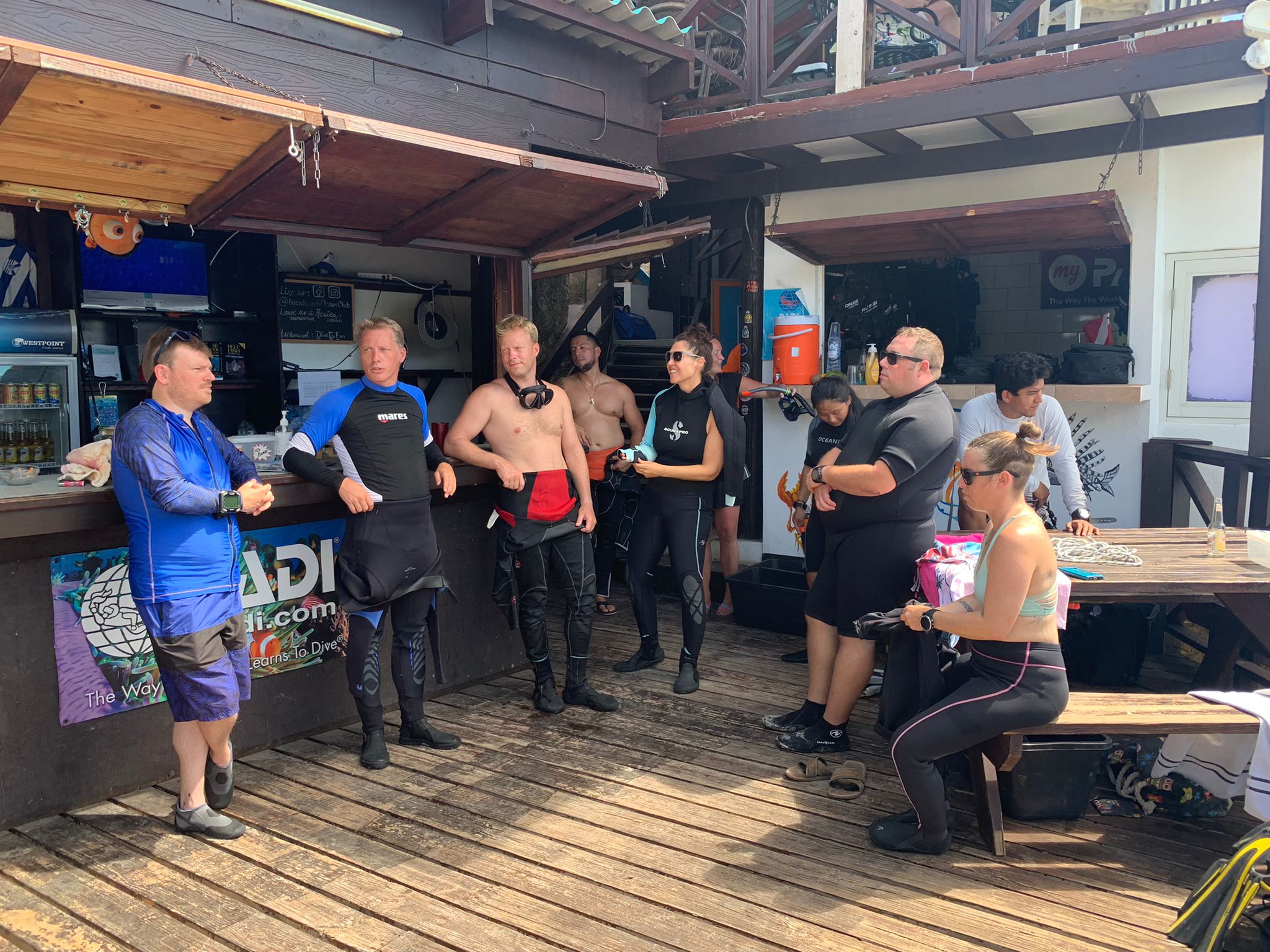
Dive Cabarete
Charles Hay
9
7
1
4
2
3
2.88
55
23.00
5.00
measured
600.00
12
On
pounds
I have debris data to report
3
Smooth (wavelets) for waves 0.1 - 0.5 meter high
drinks can
Clinging crab
Released Unharmed
4
7
m2
1
1
Drinks can
Juvenile Octopus
Dead
meters
coral reef
26
4
9
1
State\Province
Puerto Plata
City
Sosua
Map Help
Dive Location
If you know your survey site coordinates, enter them manually in decimal degrees using WGS84 Map Datum. Use the minus sign for latitudes south of the equator and longitudes west of the Prime Meridian to 180 degrees.
If you do not know your survey site coordinates, click the “Map Location” tab to use the map to zoom into your survey site and drop the pin on the map to fall within your survey dive site in the water (not on land or the beach). Ensure you zoom in as much as possible to ensure data accuracy.
Entangled Help