Comal River / Hinman Island Park
29.708134, -98.123983
29.708153812645, -98.12398191785
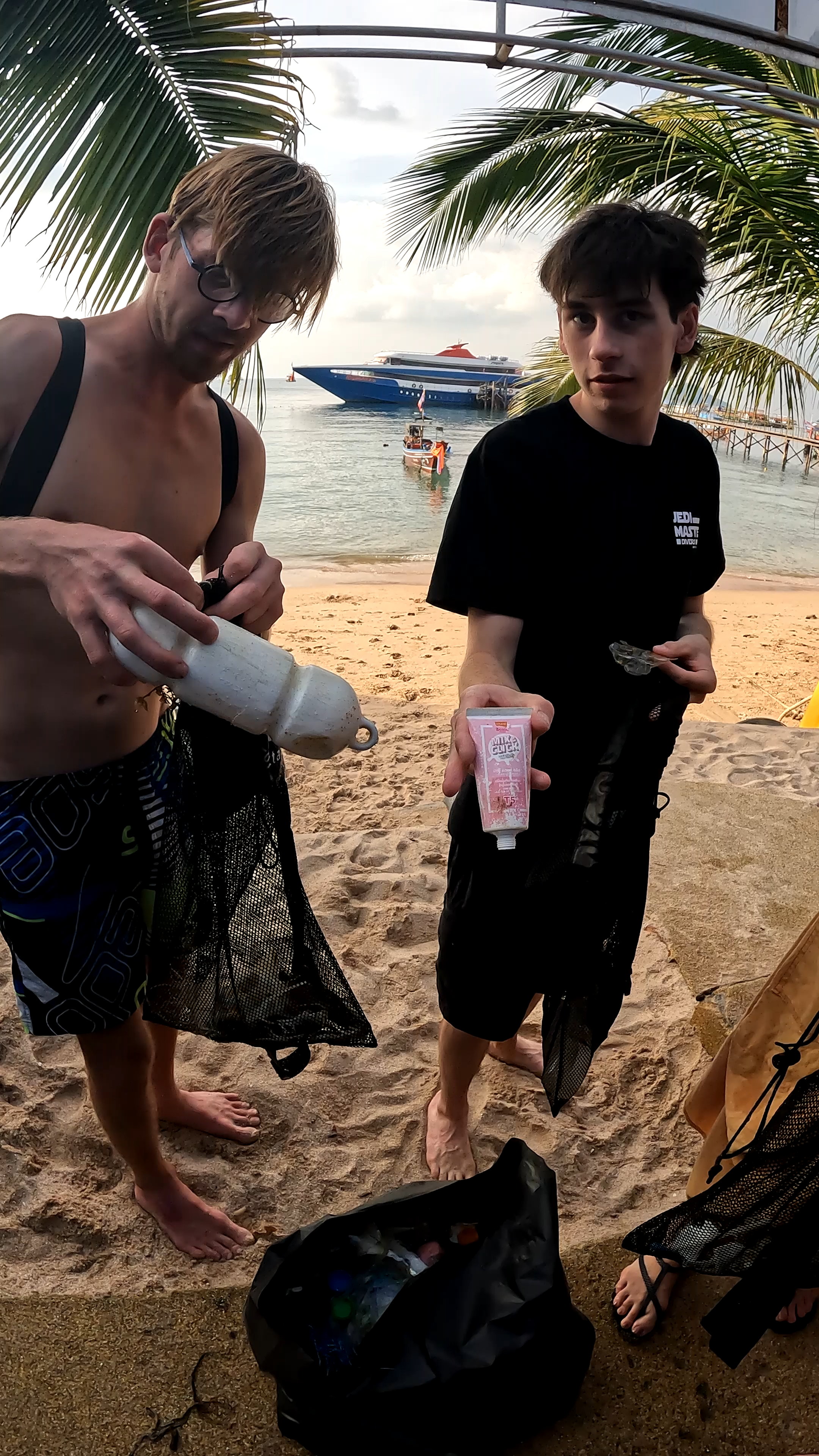
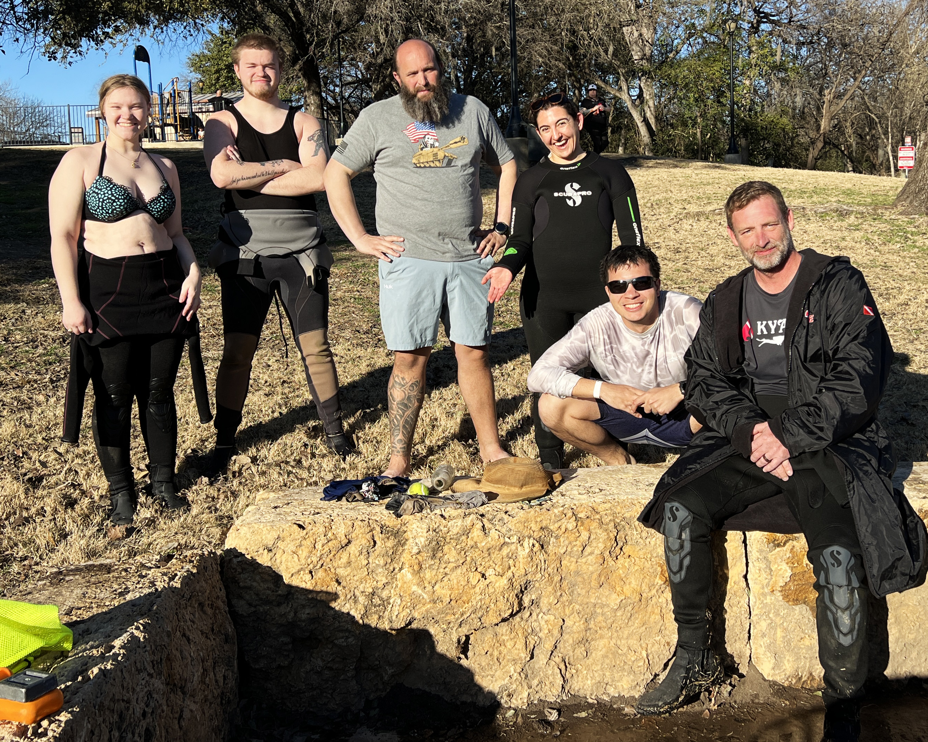
Hinman Island Park is a public park along the Comal River. During warmer months it is heavily used by tubers, swimmers and scuba divers. The park is open year round.
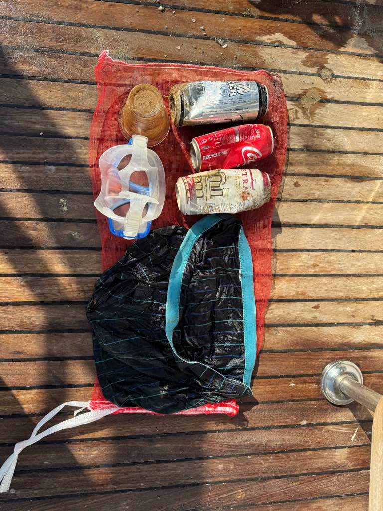
underwear
Lows in the 50s warming to mid 70s with periods of light rain
Texas Dive Center
Sean Cowher
1
1
6
1
1
2
1
6.00
37
10.00
4.00
measured
82590.00
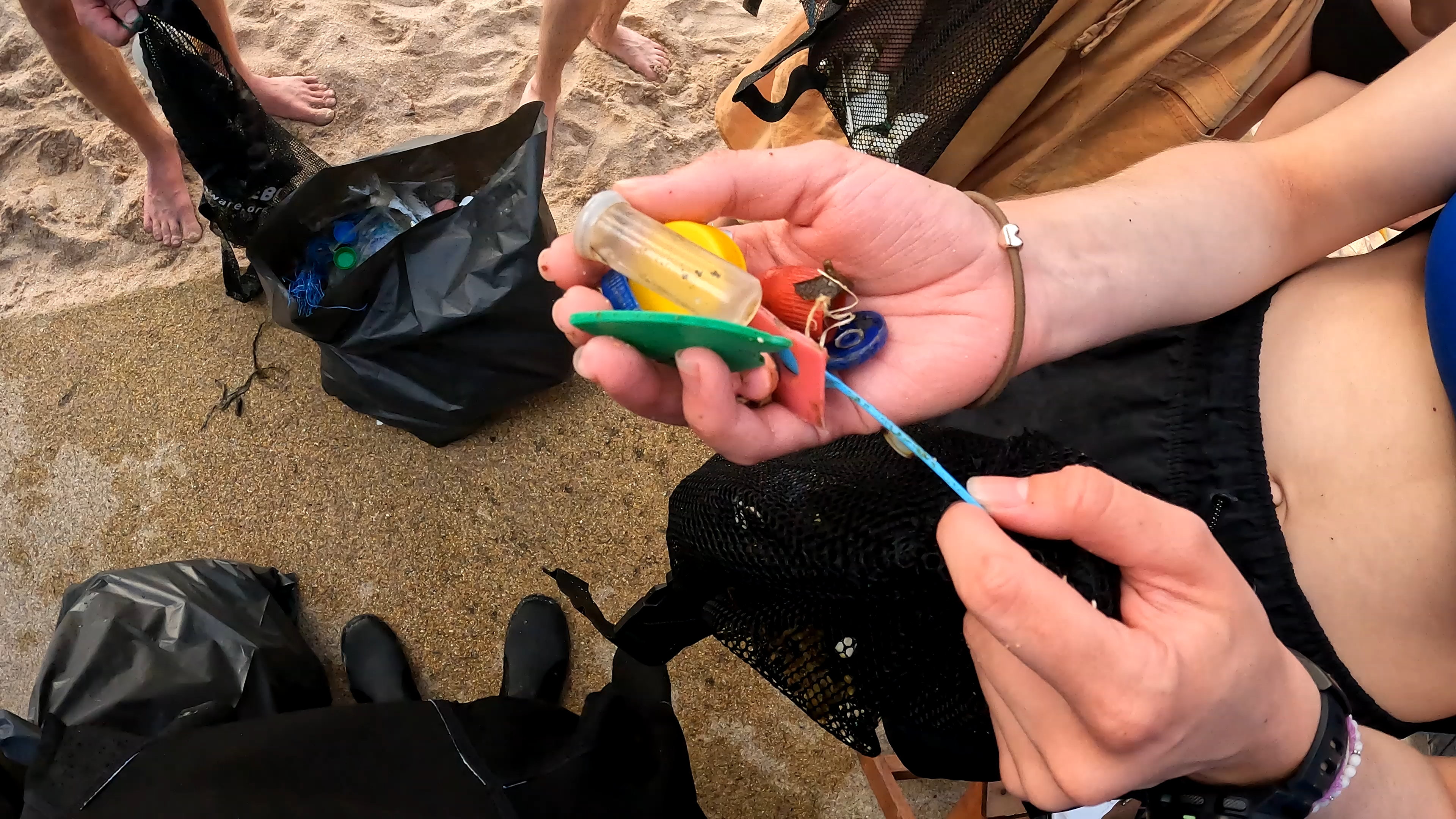
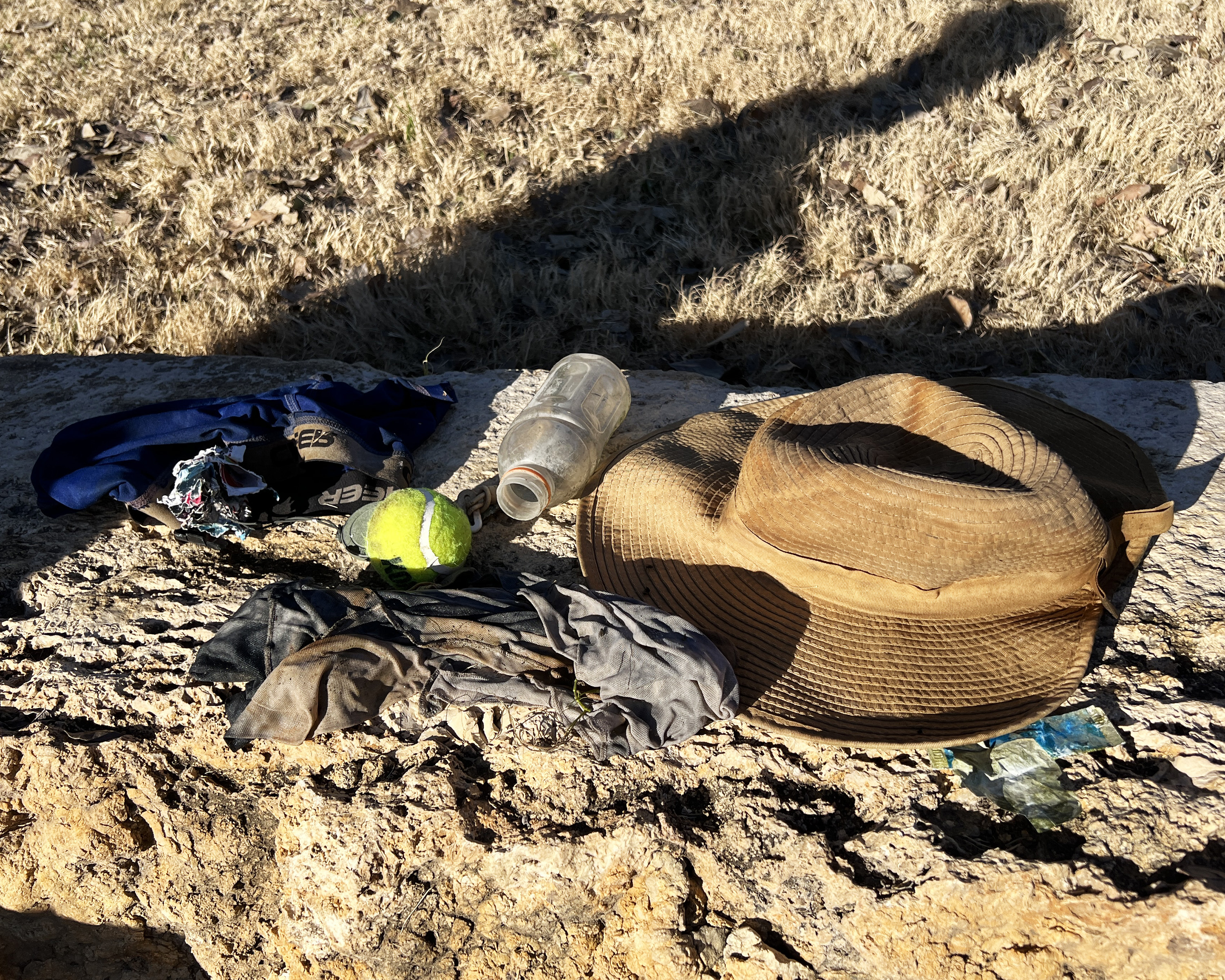
Plastic water and soda bottles. High use area.
Beverage caps. High use area.
Clothing. High use area.
On
pounds
I have debris data to report
Calm (glassy to rippled) for waves 0 – 0.1 meter high
3
ft2
1
feet
seagrass
2
State\Province
TX
City
New Braunfels
Map Help
Dive Location
If you know your survey site coordinates, enter them manually in decimal degrees using WGS84 Map Datum. Use the minus sign for latitudes south of the equator and longitudes west of the Prime Meridian to 180 degrees.
If you do not know your survey site coordinates, click the “Map Location” tab to use the map to zoom into your survey site and drop the pin on the map to fall within your survey dive site in the water (not on land or the beach). Ensure you zoom in as much as possible to ensure data accuracy.
Entangled Help