Flower Garden
26.711158050226, -80.025777407921
26.711158050226, -80.025777407921
Our survey was a drift dive starting at Flower Garden on Breakers Reef heading north in a slight north current
golf balls
One the weekend prior, seas were 4'-6' with mostly sunny skies
Hatt's Diving Headquarters
John McGill
7
4
4.20
44
52.00
42.00
measured
22000.00
On
pounds
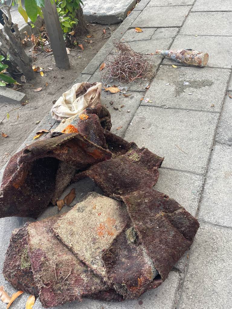
I have debris data to report
41
Slight for waves 0.5 -1.25 meter high
ft2
feet
coral reef
State\Province
FL
City
Melbourne
Map Help
Dive Location
If you know your survey site coordinates, enter them manually in decimal degrees using WGS84 Map Datum. Use the minus sign for latitudes south of the equator and longitudes west of the Prime Meridian to 180 degrees.
If you do not know your survey site coordinates, click the “Map Location” tab to use the map to zoom into your survey site and drop the pin on the map to fall within your survey dive site in the water (not on land or the beach). Ensure you zoom in as much as possible to ensure data accuracy.
Entangled Help