Menu

Blue Planet House Reef

2
7

-5.6090583644959, 120.44883324925

sand
3

-5.58314, 120.448601

fishing
Glass bottles
Indo Ocean Project
Isobel
1
3
5
3.22
58
17.00
5.00
10
measured
60000.00
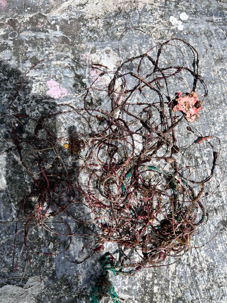
fishing line
fishing rope
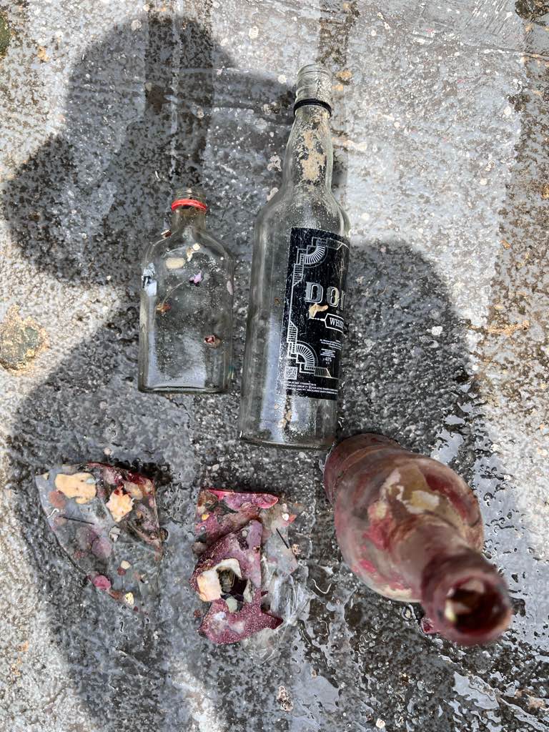
glass bottle
On
kilograms
I have debris data to report
2
Smooth (wavelets) for waves 0.1 - 0.5 meter high m2
meters
coral reef
Indonesia
State\Province
South Sulawesi
City
Bira, Bulukumba
Map Help


Dive Location

If you know your survey site coordinates, enter them manually in decimal degrees using WGS84 Map Datum. Use the minus sign for latitudes south of the equator and longitudes west of the Prime Meridian to 180 degrees.

If you do not know your survey site coordinates, click the “Map Location” tab to use the map to zoom into your survey site and drop the pin on the map to fall within your survey dive site in the water (not on land or the beach). Ensure you zoom in as much as possible to ensure data accuracy.

Entangled Help


Use the vertical tabs below to record any entangled animals you found of each type.

North of Shelter Island

1
2

22.330304, 114.292829

sand
3
drink can , plastic fork , plastic bag
South to southeast force 2-3 , Mainly cloudy a few showers
EX Diving
EX Diving
6
1
1
1
21
2
1
1
13.70
100
14.00
1.50
2
measured
1
6000.00
1
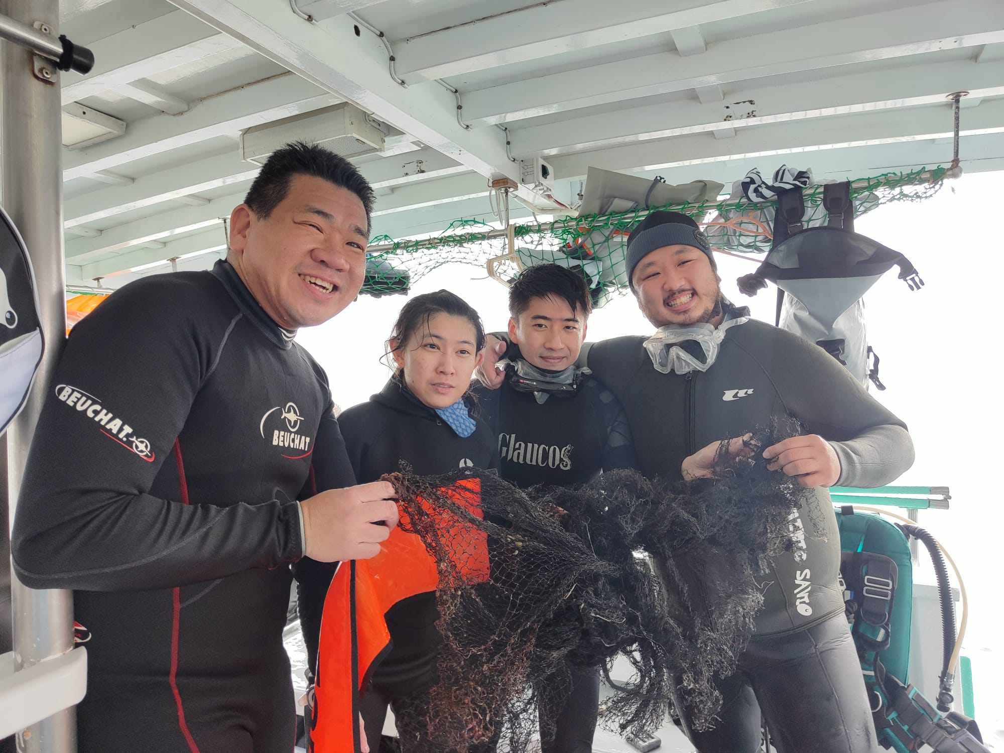
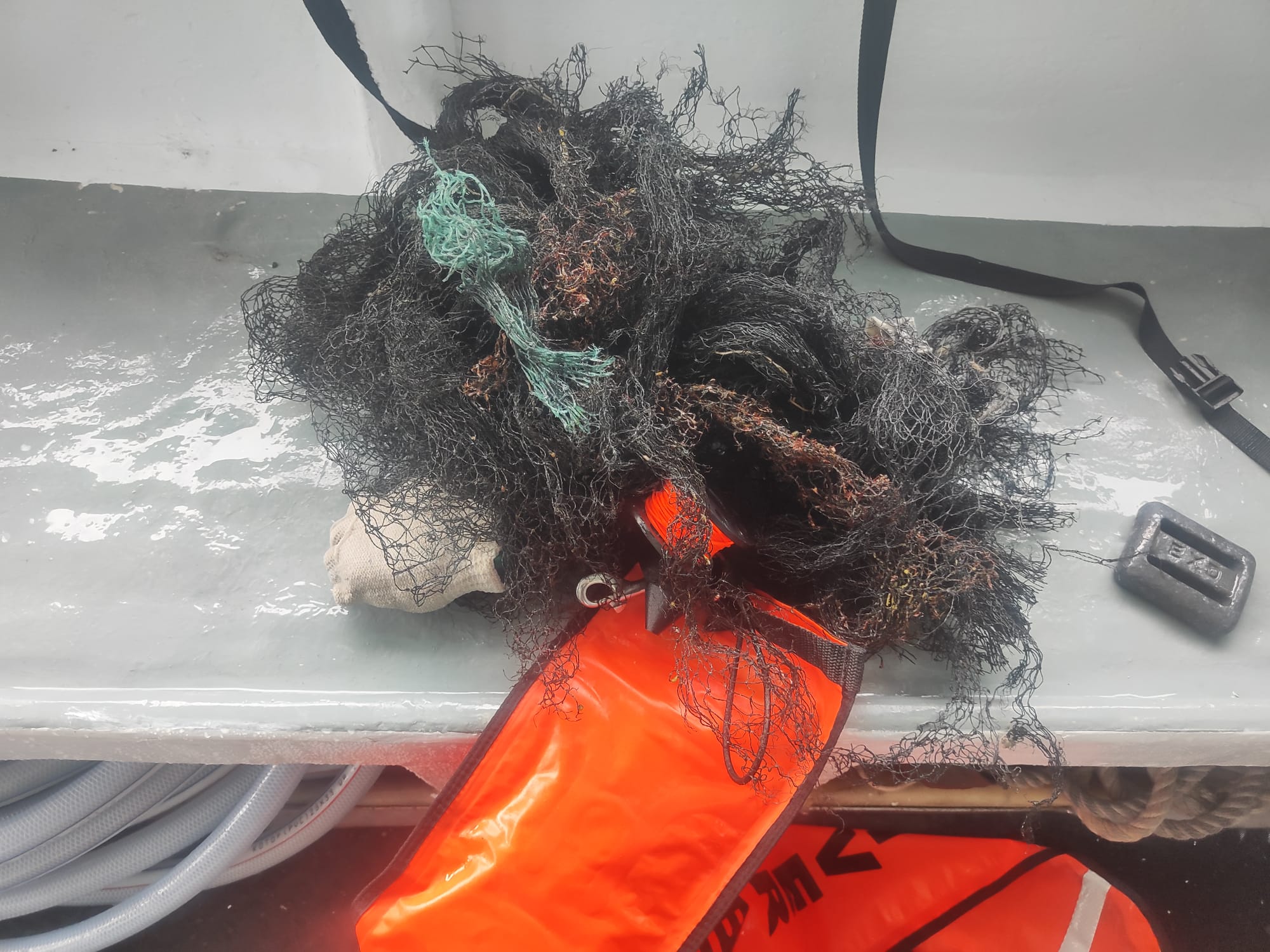
Fish net
plastic fork after party
On
kilograms
I have debris data to report
1
Smooth (wavelets) for waves 0.1 - 0.5 meter high
1
m2
3
meters
coral reef
1
4
4
Hong Kong S.A.R., China
City
Sai Kung
Map Help


Dive Location

If you know your survey site coordinates, enter them manually in decimal degrees using WGS84 Map Datum. Use the minus sign for latitudes south of the equator and longitudes west of the Prime Meridian to 180 degrees.

If you do not know your survey site coordinates, click the “Map Location” tab to use the map to zoom into your survey site and drop the pin on the map to fall within your survey dive site in the water (not on land or the beach). Ensure you zoom in as much as possible to ensure data accuracy.
Entangled Help


Use the vertical tabs below to record any entangled animals you found of each type.

Mango Bay

17
1
sand
7

10.122436222889, 99.834520814767

Sunny
The Coral Tribe
Jennifer Dowling
1
0
1
7
3
3.50
44
14.00
6.00
measured
4
99.00
2
fishing netting
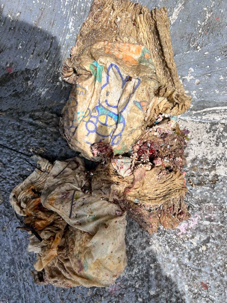
nappy (diaper)
On
kilograms
I have debris data to report
Smooth (wavelets) for waves 0.1 - 0.5 meter high
6
m2
4
2
Netting and Nappy (diaper)
Coral
Dead
meters
coral reef
3
2
1
Thailand
State\Province
Surat Thani
City
Koh Tao
Map Help


Dive Location

If you know your survey site coordinates, enter them manually in decimal degrees using WGS84 Map Datum. Use the minus sign for latitudes south of the equator and longitudes west of the Prime Meridian to 180 degrees.

If you do not know your survey site coordinates, click the “Map Location” tab to use the map to zoom into your survey site and drop the pin on the map to fall within your survey dive site in the water (not on land or the beach). Ensure you zoom in as much as possible to ensure data accuracy.
Entangled Help


Use the vertical tabs below to record any entangled animals you found of each type.

Junk Yard

3
11
2
sand
1
4

10.088234159717, 99.822147310477

head lamp with strap
Sunny
1
5
2
1
scuba head lamp with strap
plastic coated wire
pill packets
wet wipes
The Coral Tribe
Jennifer Dowling
4
2
7
5
2.70
49
13.20
7.00
measured
2
150.00
3
fishing line
pvc pipes
fishing hooks
2
On
kilograms
I have debris data to report
1
Smooth (wavelets) for waves 0.1 - 0.5 meter high
1
2
m2
meters
coral reef
3
1
2
Thailand
State\Province
Surat Thani
City
Koh Tao
Map Help


Dive Location

If you know your survey site coordinates, enter them manually in decimal degrees using WGS84 Map Datum. Use the minus sign for latitudes south of the equator and longitudes west of the Prime Meridian to 180 degrees.

If you do not know your survey site coordinates, click the “Map Location” tab to use the map to zoom into your survey site and drop the pin on the map to fall within your survey dive site in the water (not on land or the beach). Ensure you zoom in as much as possible to ensure data accuracy.
Entangled Help


Use the vertical tabs below to record any entangled animals you found of each type.

Coral Beach/Deep Corner/The Sands

65
19
0
0

-8.729697, 115.910591

0
0
0
coral
0
56
0
1
0
No
Paintbrush
Sunny
1
1
1
Sandpaper
Paint Brush
Toothpaste tube
SORCE
Ipan
0
0
0
5
0
0
0
0
0
0
6
0
0
0
5
0
0
0
0
8
0
0
0
0
0
0
0
0
0
0
0
0
0
0
0
0
6.19
51
19.40
5.00
2
measured
0
0
0
0
6933.76
0
0
0
0
0
Fishing line
0
On
kilograms
0
I have debris data to report
3
0
0
Calm (glassy to rippled) for waves 0 – 0.1 meter high
0
0
0
0
3
0
0
m2
0
0
meters
coral reef
0
0
0
0
0
0
0
0
0
0
0
0
0
0
0
0
0
0
0
0
0
0
0
0
0
0
0
0
0
Indonesia
Map Help


Dive Location

If you know your survey site coordinates, enter them manually in decimal degrees using WGS84 Map Datum. Use the minus sign for latitudes south of the equator and longitudes west of the Prime Meridian to 180 degrees.

If you do not know your survey site coordinates, click the “Map Location” tab to use the map to zoom into your survey site and drop the pin on the map to fall within your survey dive site in the water (not on land or the beach). Ensure you zoom in as much as possible to ensure data accuracy.
Entangled Help


Use the vertical tabs below to record any entangled animals you found of each type.

ADS571 - Saonek Monde

31
2
0
0
1
0
0
sand
0
2
0
10
0

-0.43451691834078, 130.80599208882

Local beach
No
Meridian Adventure Dive Resort
Joane Esterhuizen
0
0
0
0
0
0
0
0
0
0
0
0
0
0
3
0
0
8
0
3
0
0
0
0
2
0
22
0
0
0
0
0
0
0
0
0
12.00
75
15.00
3.00
0
estimated
0
0
3220.60
0
0
0
0
0
Bottles plastic
Wrappers
Fishing line
0
On
kilograms
0
I have debris data to report
3
0
0
Calm (glassy to rippled) for waves 0 – 0.1 meter high
0
0
0
0
0
0
0
m2
0
0
meters
coral reef
0
0
0
0
0
0
0
0
0
0
0
0
0
0
0
0
0
2
0
0
0
0
2
0
0
0
0
0
0
Indonesia
State\Province
West Papua
City
Waisai, Raja Ampat
Map Help


Dive Location

If you know your survey site coordinates, enter them manually in decimal degrees using WGS84 Map Datum. Use the minus sign for latitudes south of the equator and longitudes west of the Prime Meridian to 180 degrees.

If you do not know your survey site coordinates, click the “Map Location” tab to use the map to zoom into your survey site and drop the pin on the map to fall within your survey dive site in the water (not on land or the beach). Ensure you zoom in as much as possible to ensure data accuracy.
Entangled Help


Use the vertical tabs below to record any entangled animals you found of each type.

Sharp Island

1
3
0
3

22.360990752333, 114.29217976779

0
0
0
sand
0
1
0
0
0
1
Toothpaste
Diving Express
Lau Tsz Sum
0
0
0
0
0
0
0
0
0
0
0
0
2
5
0
0
0
0
0
21
0
0
0
0
0
0
0
0
0
0
0
0
0
0
0
0
27.10
60
12.00
3.00
0
measured
0
0
6673.45
0
0
0
0
0
0
On
kilograms
0
I have debris data to report
0
0
0
Smooth (wavelets) for waves 0.1 - 0.5 meter high
0
0
0
Fishing net
Crab
Injured
4
0
0
0
0
m2
0
0
meters
coral reef
0
0
0
0
0
0
0
0
0
0
0
0
0
0
0
0
0
0
0
0
0
0
0
0
0
0
0
0
0
Hong Kong S.A.R., China
Map Help


Dive Location

If you know your survey site coordinates, enter them manually in decimal degrees using WGS84 Map Datum. Use the minus sign for latitudes south of the equator and longitudes west of the Prime Meridian to 180 degrees.

If you do not know your survey site coordinates, click the “Map Location” tab to use the map to zoom into your survey site and drop the pin on the map to fall within your survey dive site in the water (not on land or the beach). Ensure you zoom in as much as possible to ensure data accuracy.
Entangled Help


Use the vertical tabs below to record any entangled animals you found of each type.

Playground

0
0
0
0

-16.464, 145.981

0
0
0
sand
0
0
0
0
0
Windy
Divers Den
Drew
0
0
0
0
0
0
0
0
0
0
0
0
0
0
0
0
0
0
0
16
0
0
0
0
0
0
0
0
0
0
0
0
0
0
0
0
0.00
45
16.00
5.00
0
estimated
0
0
0
0
1717.91
0
0
0
0
0
0
On
kilograms
0
Our Survey Site was free of debris
0
0
0
Slight for waves 0.5 -1.25 meter high
0
0
0
0
0
0
0
m2
0
0
meters
coral reef
0
0
0
0
0
0
0
0
0
0
0
0
0
0
0
0
0
0
0
0
0
0
0
0
0
0
0
0
0
Australia
State\Province
Queensland
City
Cairns
Map Help


Dive Location

If you know your survey site coordinates, enter them manually in decimal degrees using WGS84 Map Datum. Use the minus sign for latitudes south of the equator and longitudes west of the Prime Meridian to 180 degrees.

If you do not know your survey site coordinates, click the “Map Location” tab to use the map to zoom into your survey site and drop the pin on the map to fall within your survey dive site in the water (not on land or the beach). Ensure you zoom in as much as possible to ensure data accuracy.
Entangled Help


Use the vertical tabs below to record any entangled animals you found of each type.

Playground

0
0
0
0

-16.464, 145.981

0
0
0
coral
0
0
0
0
0
Training dive
No
NO
Nothing
Divers Den
Lewis
0
0
0
0
0
0
0
0
0
0
0
0
0
0
0
0
0
0
0
16
0
0
0
0
0
0
0
0
0
0
0
0
0
0
0
0
0.00
60
12.00
4.00
0
measured
0
0
2993.40
0
0
0
0
0
0
On
kilograms
0
Our Survey Site was free of debris
0
0
0
Slight for waves 0.5 -1.25 meter high
0
0
0
0
0
0
0
m2
0
0
meters
coral reef
0
0
0
0
0
0
0
0
0
0
0
0
0
0
0
0
0
0
0
0
0
0
0
0
0
0
0
0
0
Australia
Map Help


Dive Location

If you know your survey site coordinates, enter them manually in decimal degrees using WGS84 Map Datum. Use the minus sign for latitudes south of the equator and longitudes west of the Prime Meridian to 180 degrees.

If you do not know your survey site coordinates, click the “Map Location” tab to use the map to zoom into your survey site and drop the pin on the map to fall within your survey dive site in the water (not on land or the beach). Ensure you zoom in as much as possible to ensure data accuracy.
Entangled Help


Use the vertical tabs below to record any entangled animals you found of each type.

Playground

0
0
0
0

-16.464, 145.981

0
0
0
coral
0
0
0
0
0
No
No
No
None
Windy
Divers den
Charlotte barbosa
0
0
0
0
0
0
0
0
0
0
0
0
0
0
0
0
0
0
0
16
0
0
0
0
0
0
0
0
0
0
0
0
0
0
0
0
0.00
40
16.00
6.00
0
measured
0
0
30.00
0
0
0
0
0
0
On
kilograms
0
Our Survey Site was free of debris
0
0
0
Moderate to rough for waves greater than 1.25 meters
0
0
0
0
0
0
0
m2
0
0
meters
coral reef
0
0
0
0
0
0
0
0
0
0
0
0
0
0
0
0
0
0
0
0
0
0
0
0
0
0
0
0
0
Australia
State\Province
Qld
City
Cairns
Map Help


Dive Location

If you know your survey site coordinates, enter them manually in decimal degrees using WGS84 Map Datum. Use the minus sign for latitudes south of the equator and longitudes west of the Prime Meridian to 180 degrees.

If you do not know your survey site coordinates, click the “Map Location” tab to use the map to zoom into your survey site and drop the pin on the map to fall within your survey dive site in the water (not on land or the beach). Ensure you zoom in as much as possible to ensure data accuracy.
Entangled Help


Use the vertical tabs below to record any entangled animals you found of each type.

Subscribe to