Pulau Jahat Tioman
0
0
0
0
2.6648945656983, 104.16701924568
0
0
0
coral
0
1
0
0
0
General dive site for more advance divers
Yes
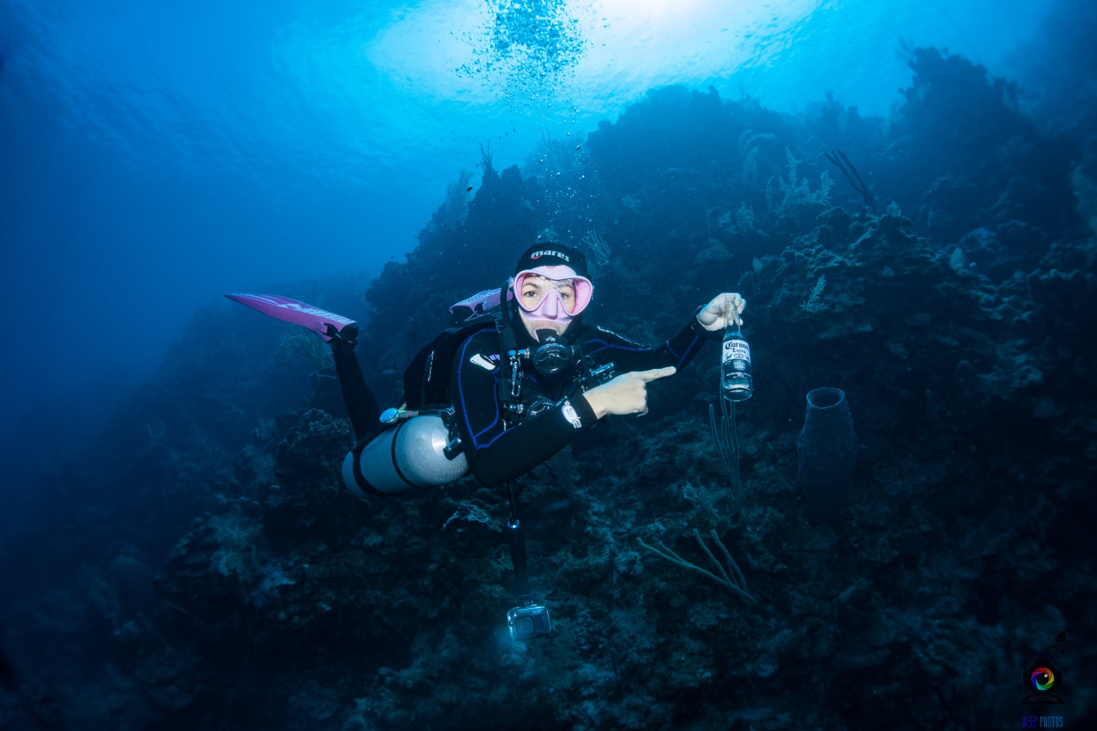
Plastic was stuck on the coral, general no other waste. We did find fishing cages but it was already a habitat of fishes so we did not remove it.
Fish cages
Sunny
Flow dive Center
Matthew Lee
0
0
0
0
0
0
0
0
0
0
0
0
0
0
0
0
0
0
0
6
0
0
0
0
0
0
0
0
0
0
0
0
0
0
0
0
0.20
45
16.00
10.00
0
estimated
0
0
10446.70
0
0
0
0
0
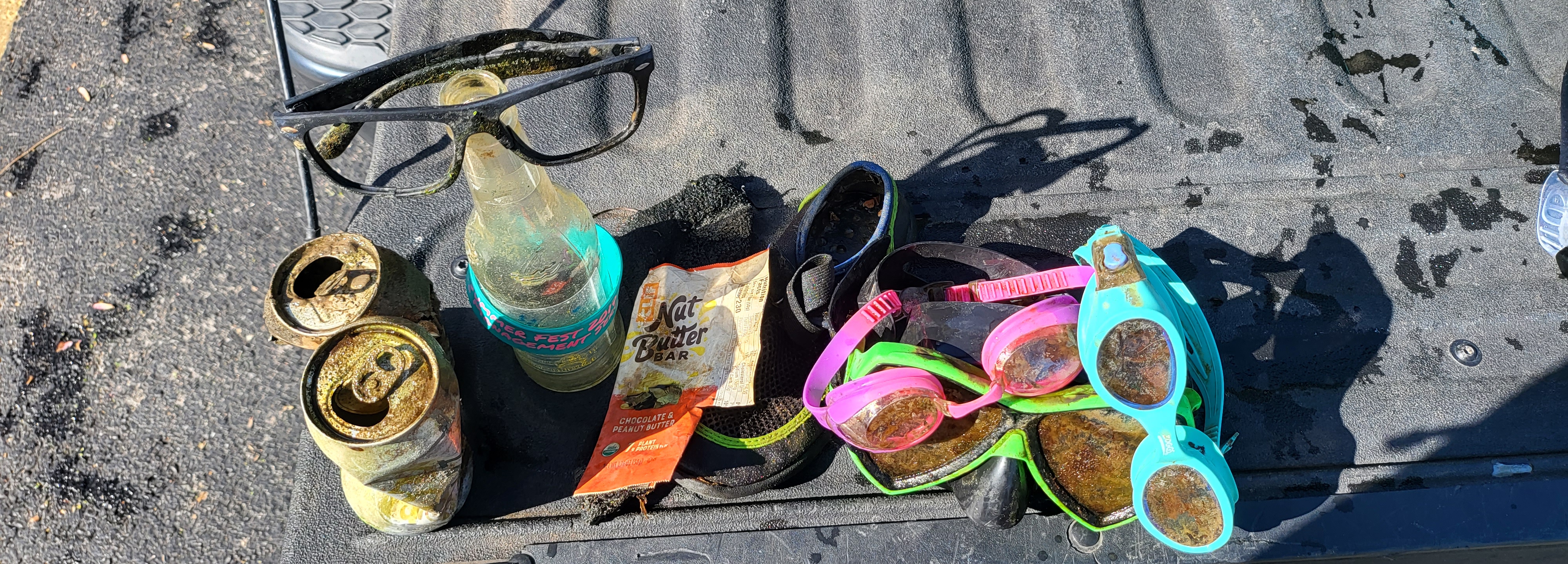
Plastic
Can
Cigarette butts
0
On
kilograms
0
I have debris data to report
0
0
0
Smooth (wavelets) for waves 0.1 - 0.5 meter high
0
0
0
0
0
0
0
m2


0
0
meters
coral reef
0
0
0
0
0
0
0
0
0
0
0
0
0
0
0
0
0
0
0
0
0
0
0
0
0
0
0
0
0
State\Province
Pahang
City
Pulau tioman
Map Help
Dive Location
If you know your survey site coordinates, enter them manually in decimal degrees using WGS84 Map Datum. Use the minus sign for latitudes south of the equator and longitudes west of the Prime Meridian to 180 degrees.
If you do not know your survey site coordinates, click the “Map Location” tab to use the map to zoom into your survey site and drop the pin on the map to fall within your survey dive site in the water (not on land or the beach). Ensure you zoom in as much as possible to ensure data accuracy.
Entangled Help