Roda Reef Dive against Debris
7
23
4
7
sand
50
-8.5572806350984, 125.50430344528
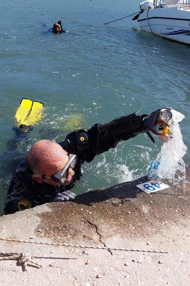
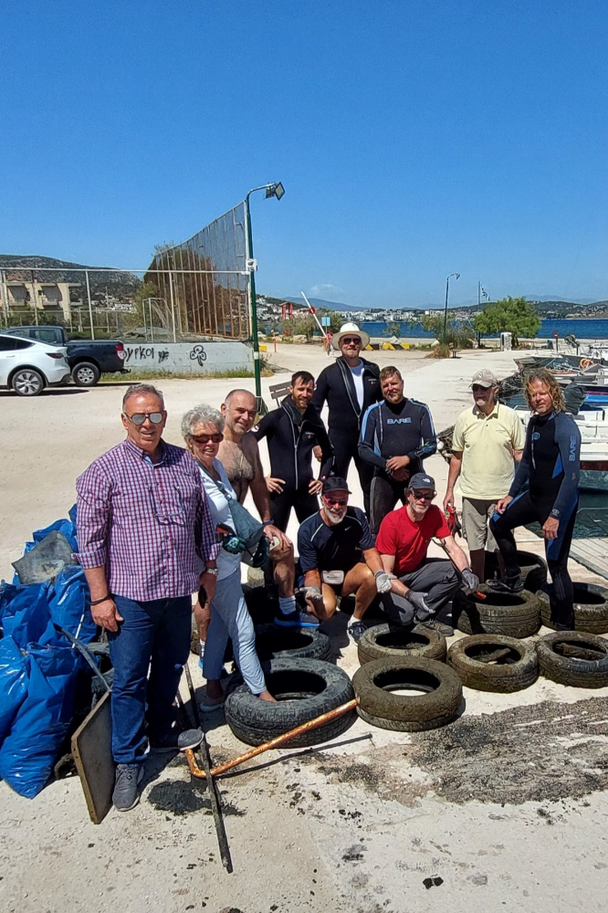
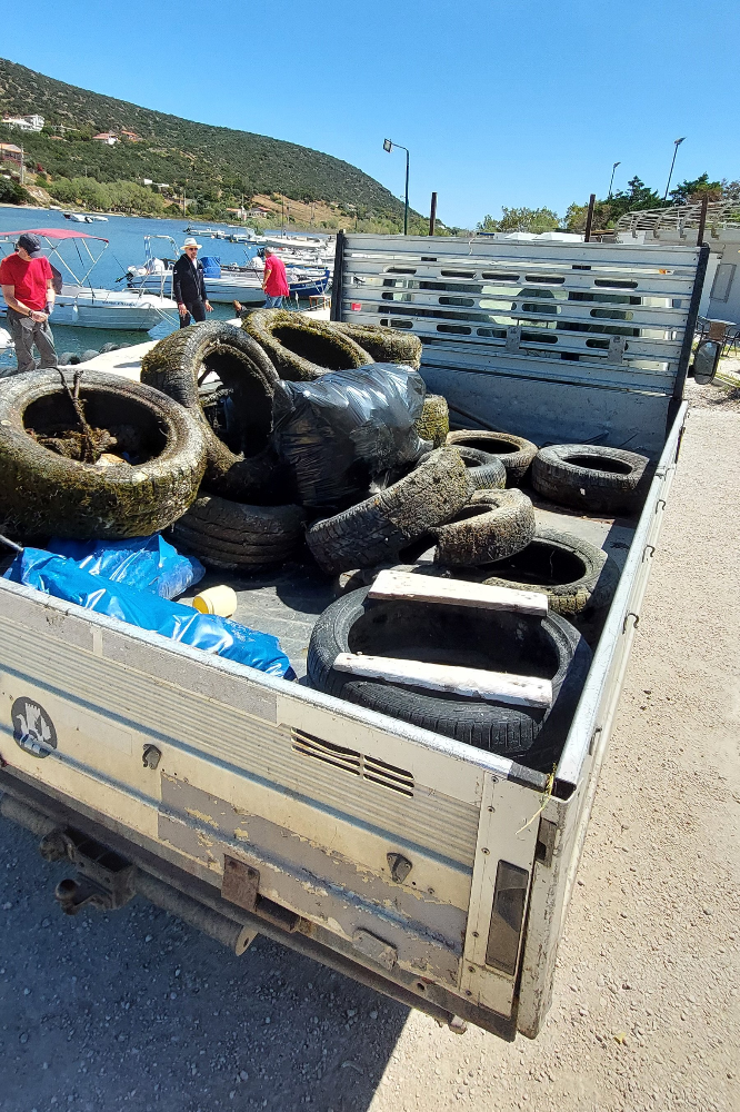
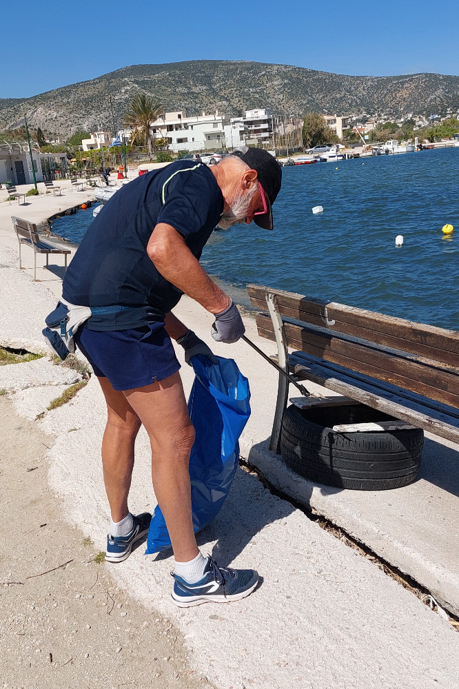
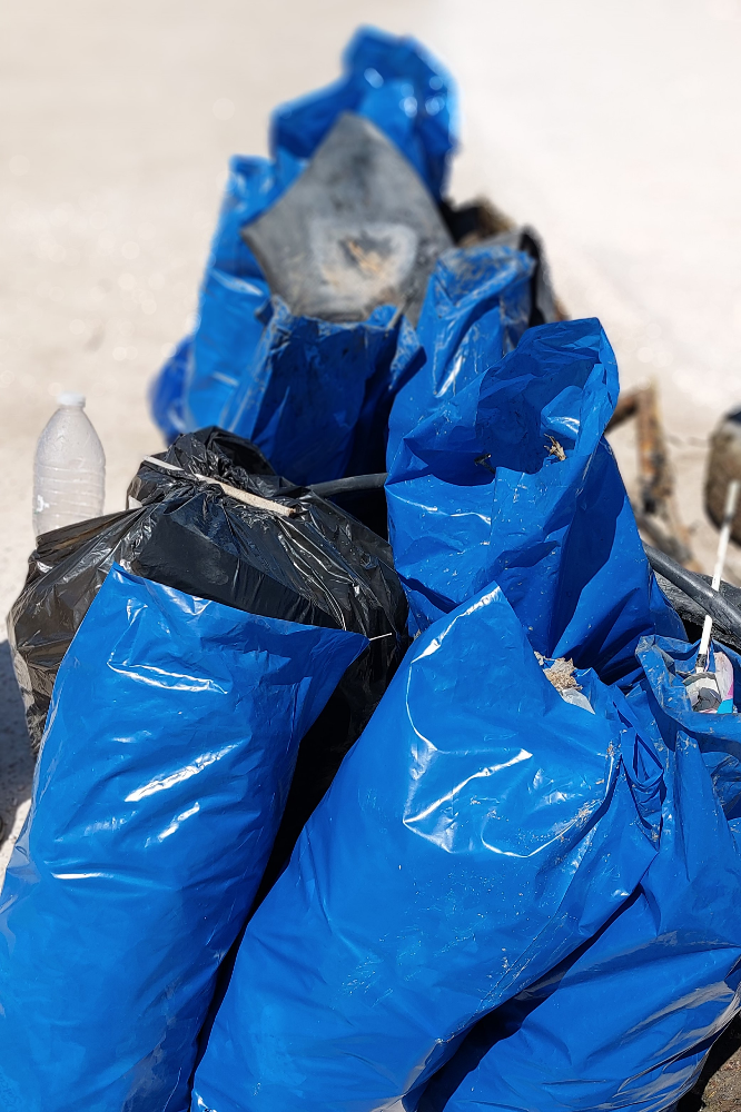
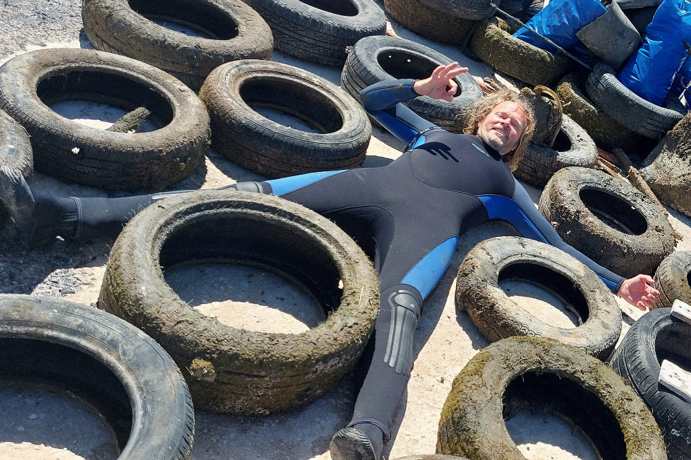
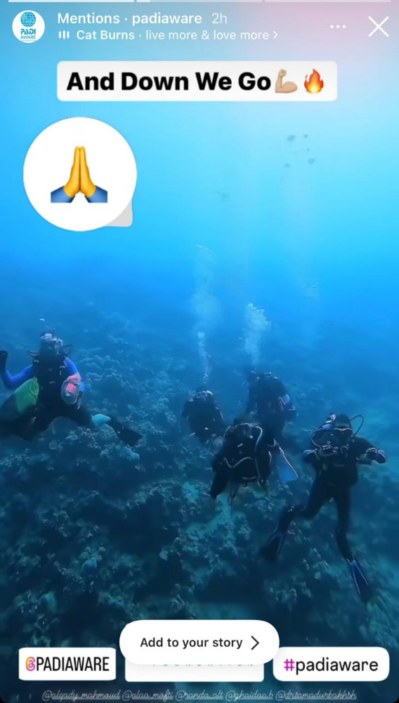
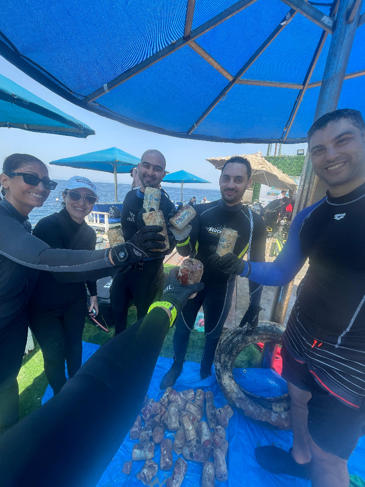
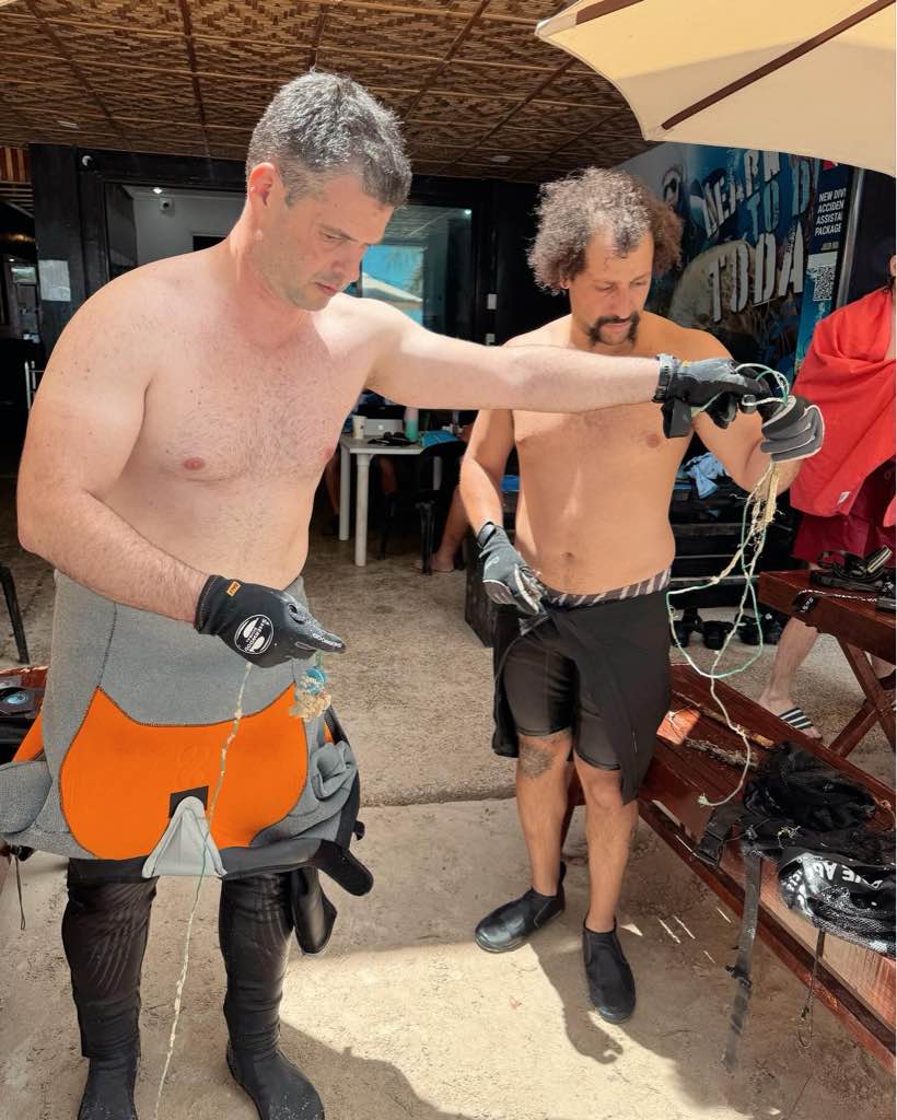
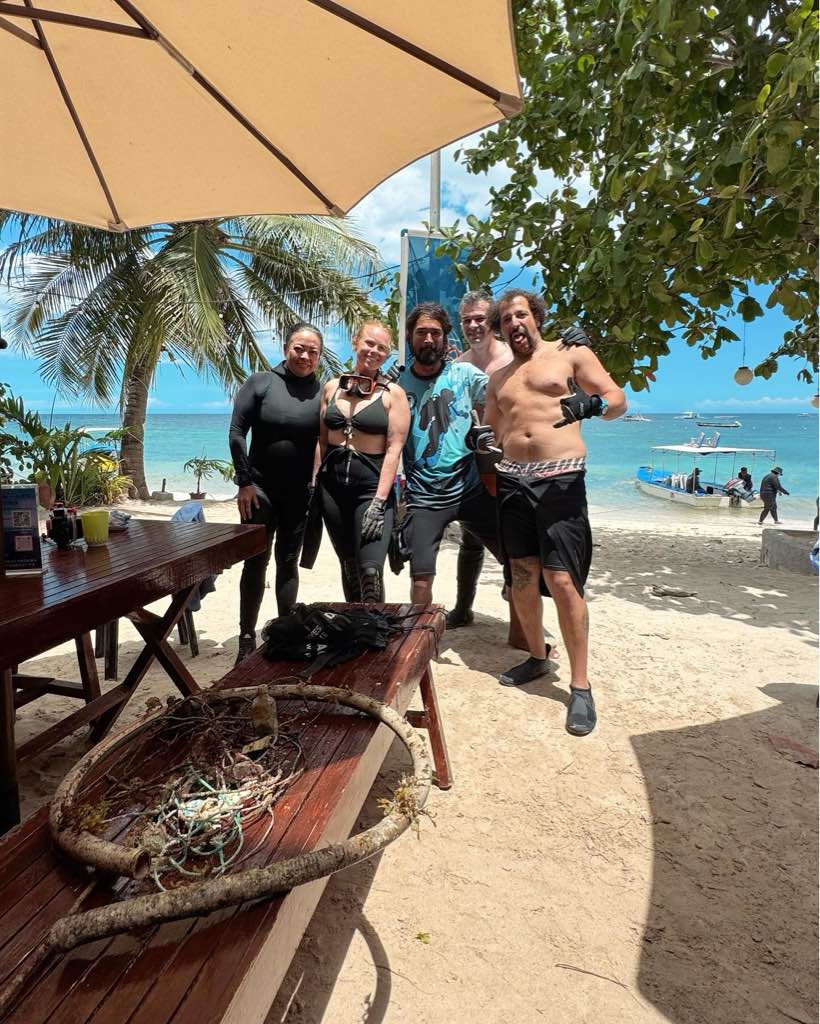
This was a collective clean up involving 4 different dive centres and guests in Timor Leste. The 4 dive centres were Dive Timor Lorosae, Aquatica, Dreamers Dive Academy and Compass.
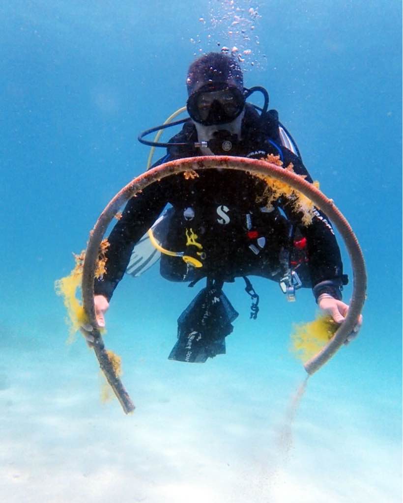
A local fisherman lost his net which smothered the reef
Pen
Calm
1
pen
Dive Timor Lorosae
Marianne Woodward
1
1
15
18
20.00
60
27.00
2.00
10
estimated
50.00
Fishing Net entangled on the reef
Fishing line entangled on the reef
On
kilograms
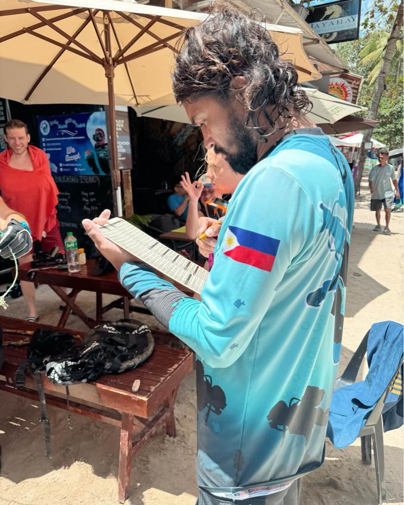
I have debris data to report
1
Smooth (wavelets) for waves 0.1 - 0.5 meter high
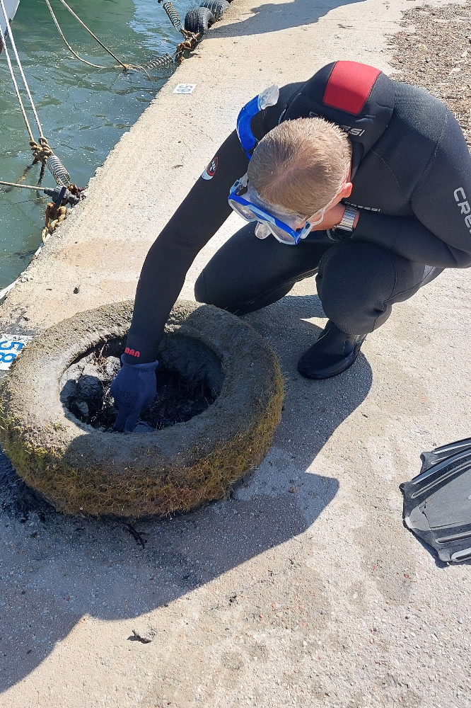
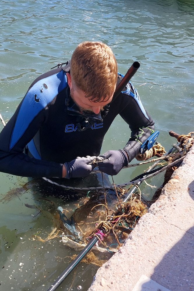
Nets
2
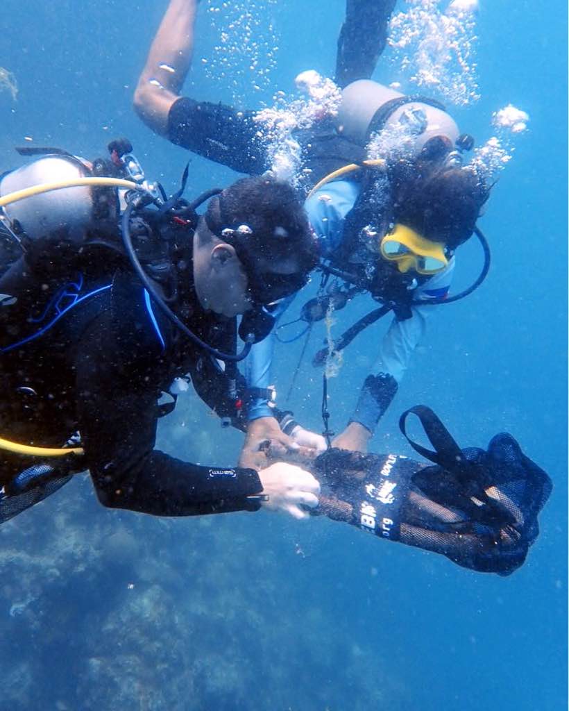
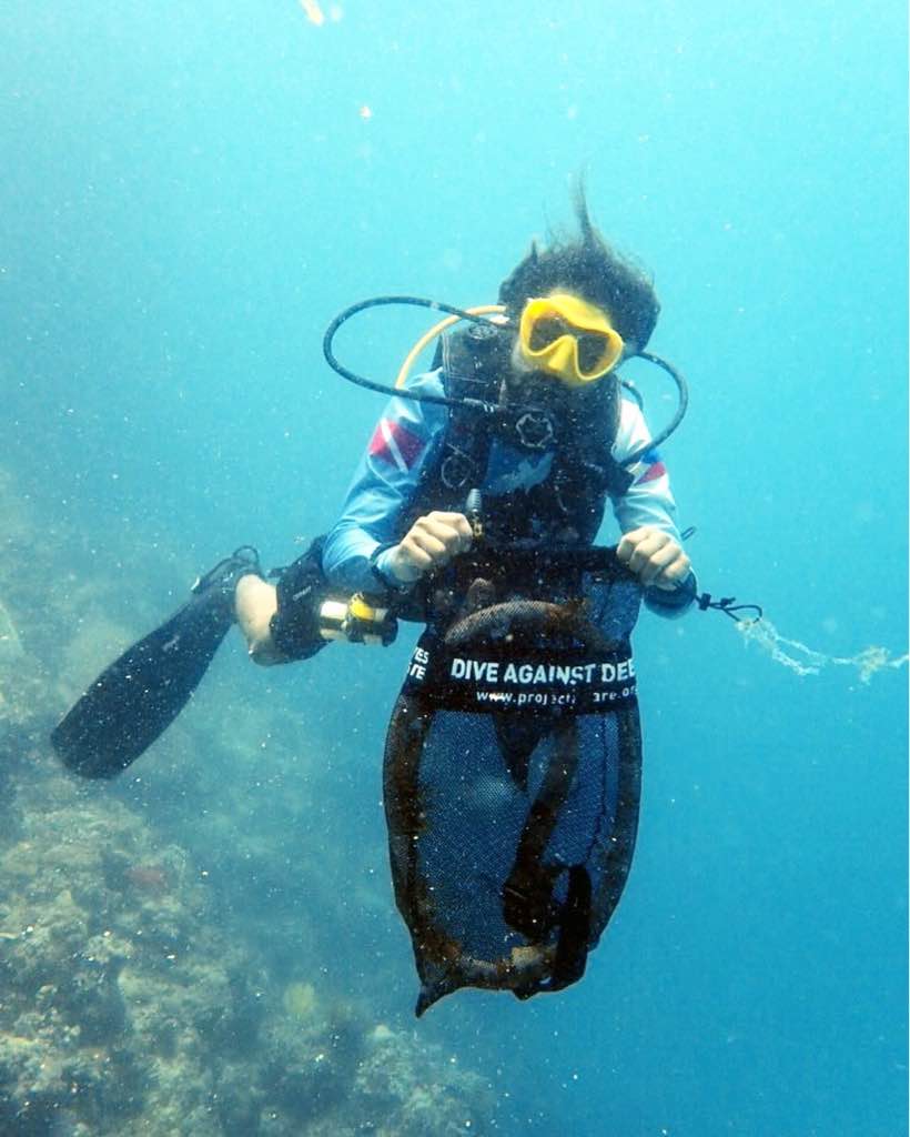
Released Unharmed
Damsel fish
m2

1
meters
other
2
State\Province
Dili
City
Dili
Map Help
Dive Location
If you know your survey site coordinates, enter them manually in decimal degrees using WGS84 Map Datum. Use the minus sign for latitudes south of the equator and longitudes west of the Prime Meridian to 180 degrees.
If you do not know your survey site coordinates, click the “Map Location” tab to use the map to zoom into your survey site and drop the pin on the map to fall within your survey dive site in the water (not on land or the beach). Ensure you zoom in as much as possible to ensure data accuracy.
Entangled Help
Use the vertical tabs below to record any entangled animals you found of each type.
Ecosystem Other
Artificial Reef on sand