DAD
5
40
100
11.905055555556, 79.842138888889
30
10
sand
2
2
97
11.905385953786, 79.845752203759
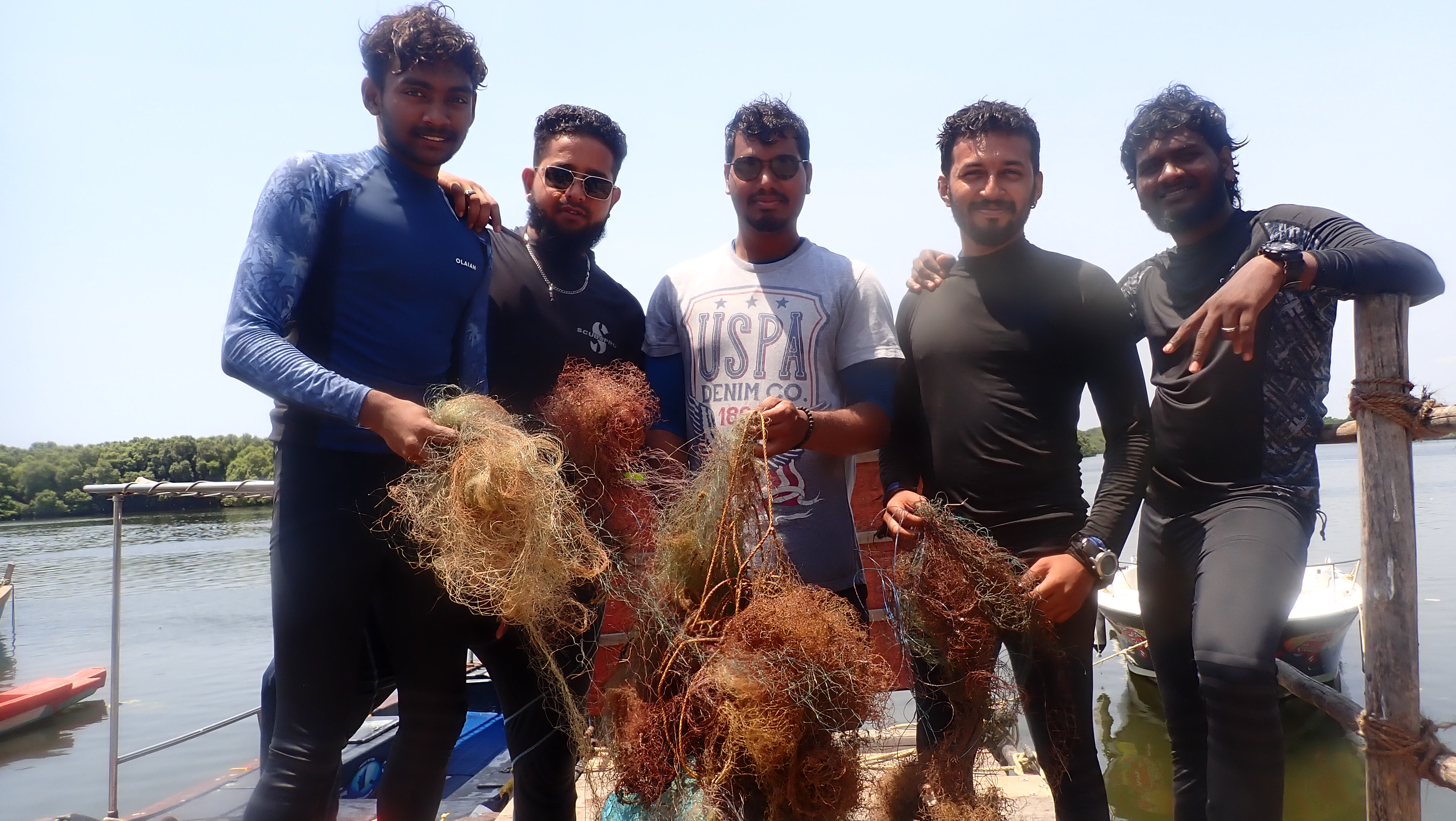
no i have did it out of love in the nature
we would like to get more inspired people to help with us even financially
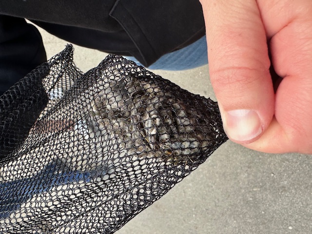
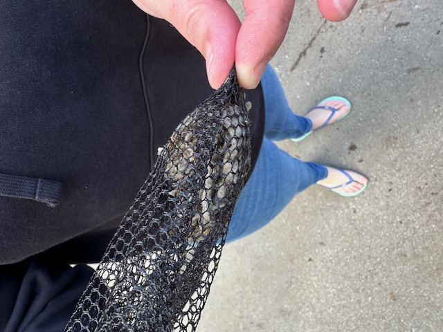
most of the silver mony and trigger fishes were entangled in the ghost nets
everythind is common
it was a flat with mild current and swell, viz was 5mts
1
knife
Urban Nomad Adventures
Thulasidassan
1
2
1
0
1
6
2
2
2
0
30.80
62
19.00
18.00
10
measured
-3
1
2
200.00
pondicherry
2
On
kilograms
I have debris data to report
1
1
Smooth (wavelets) for waves 0.1 - 0.5 meter high
fish
5
Injured
fish
-1
0
ft2
meters
other
2
2
-2
2
12
1
1
1
State\Province
Puducherry
City
Puducherry
Map Help
Dive Location
If you know your survey site coordinates, enter them manually in decimal degrees using WGS84 Map Datum. Use the minus sign for latitudes south of the equator and longitudes west of the Prime Meridian to 180 degrees.
If you do not know your survey site coordinates, click the “Map Location” tab to use the map to zoom into your survey site and drop the pin on the map to fall within your survey dive site in the water (not on land or the beach). Ensure you zoom in as much as possible to ensure data accuracy.
Entangled Help
Use the vertical tabs below to record any entangled animals you found of each type.
Ecosystem Other
sandy