Bantigue
34
6
2
sand
1
25
11.345818568870992, 124.1187497600913
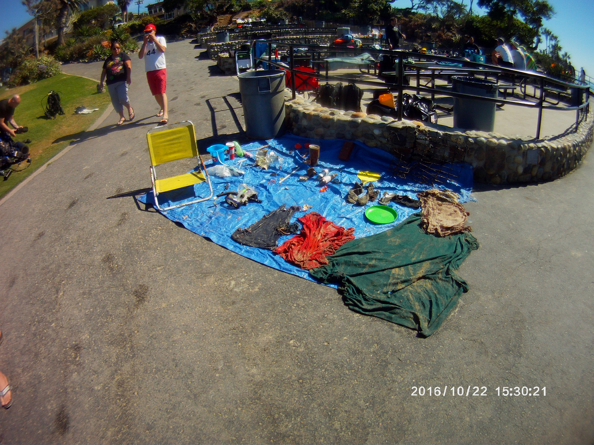
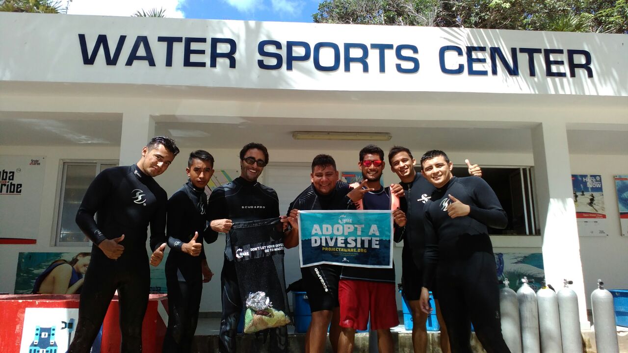
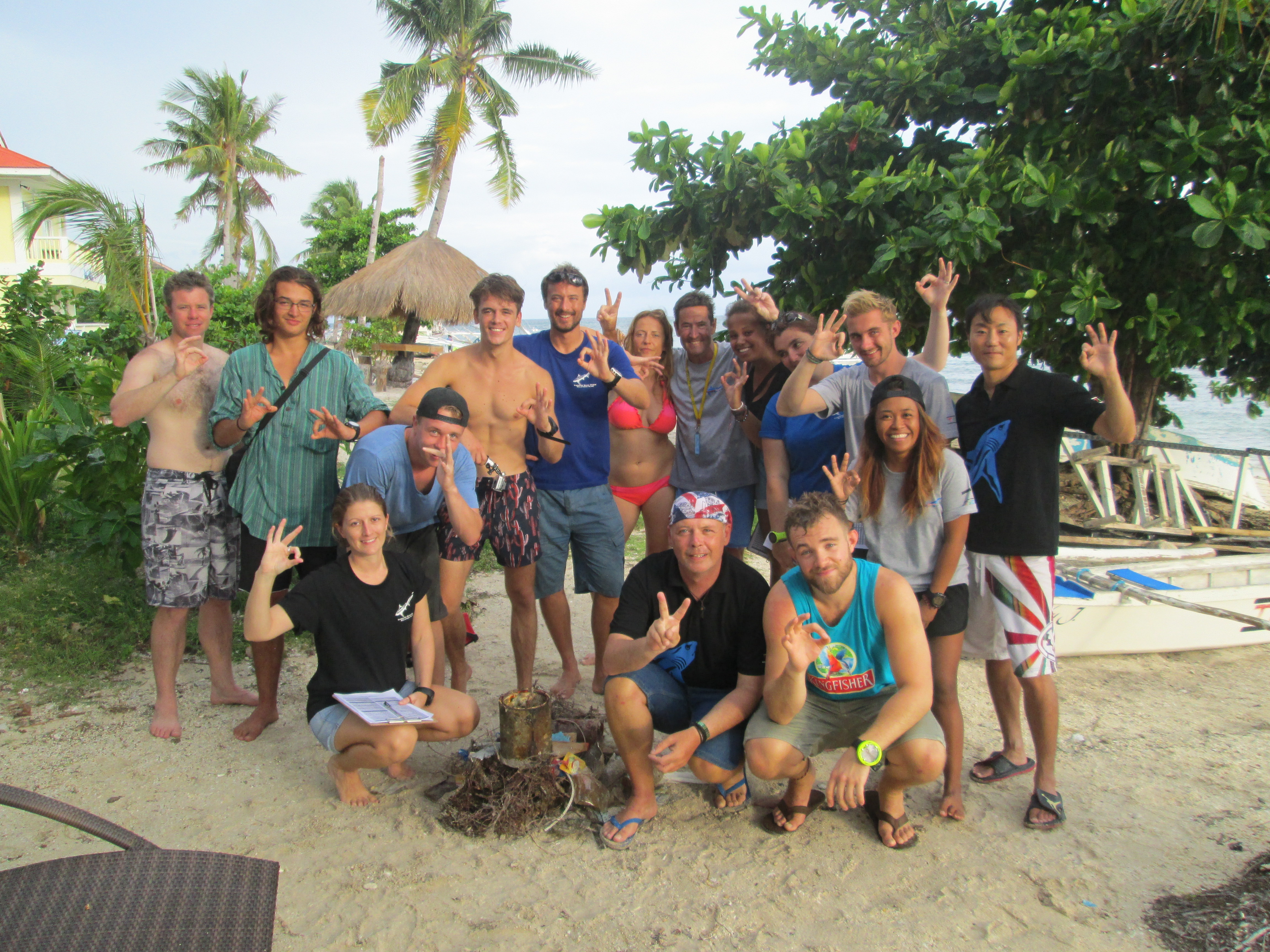
Well done to all the participants who are now all Dive Against Debris divers!
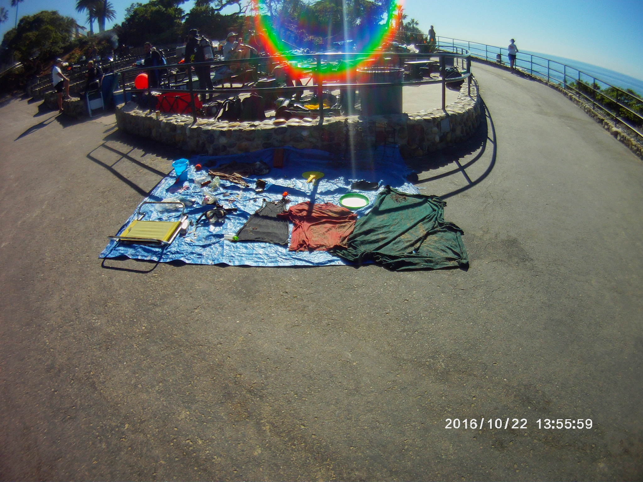
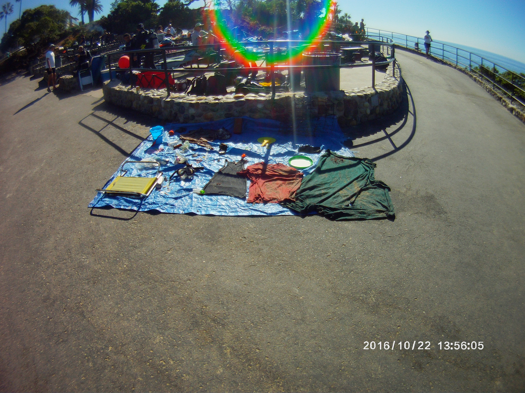
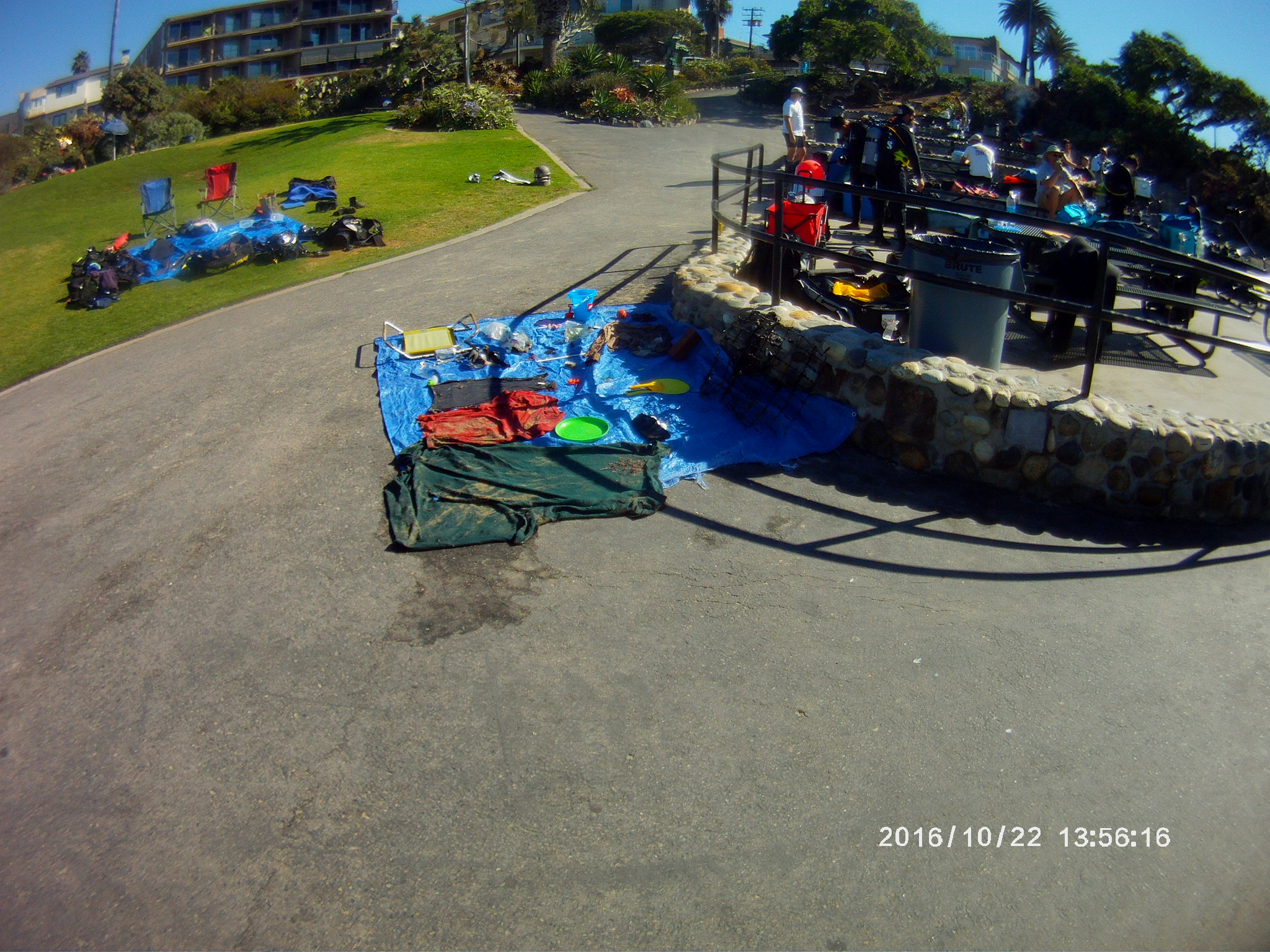
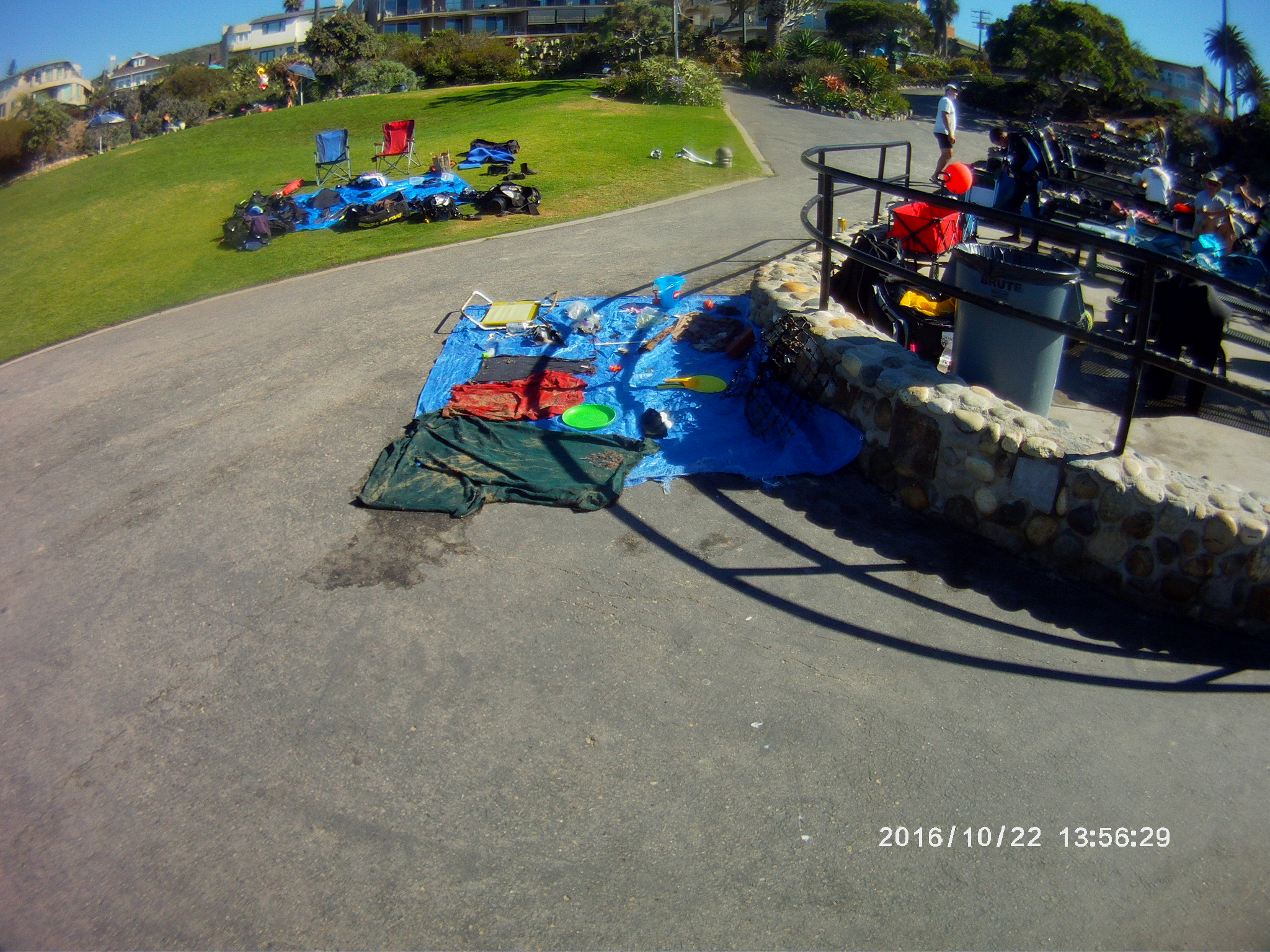
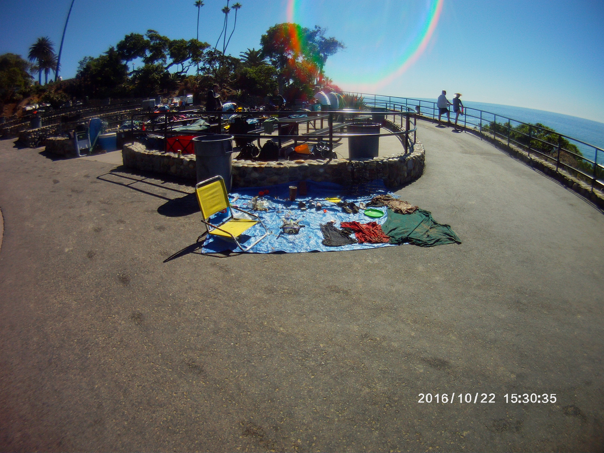
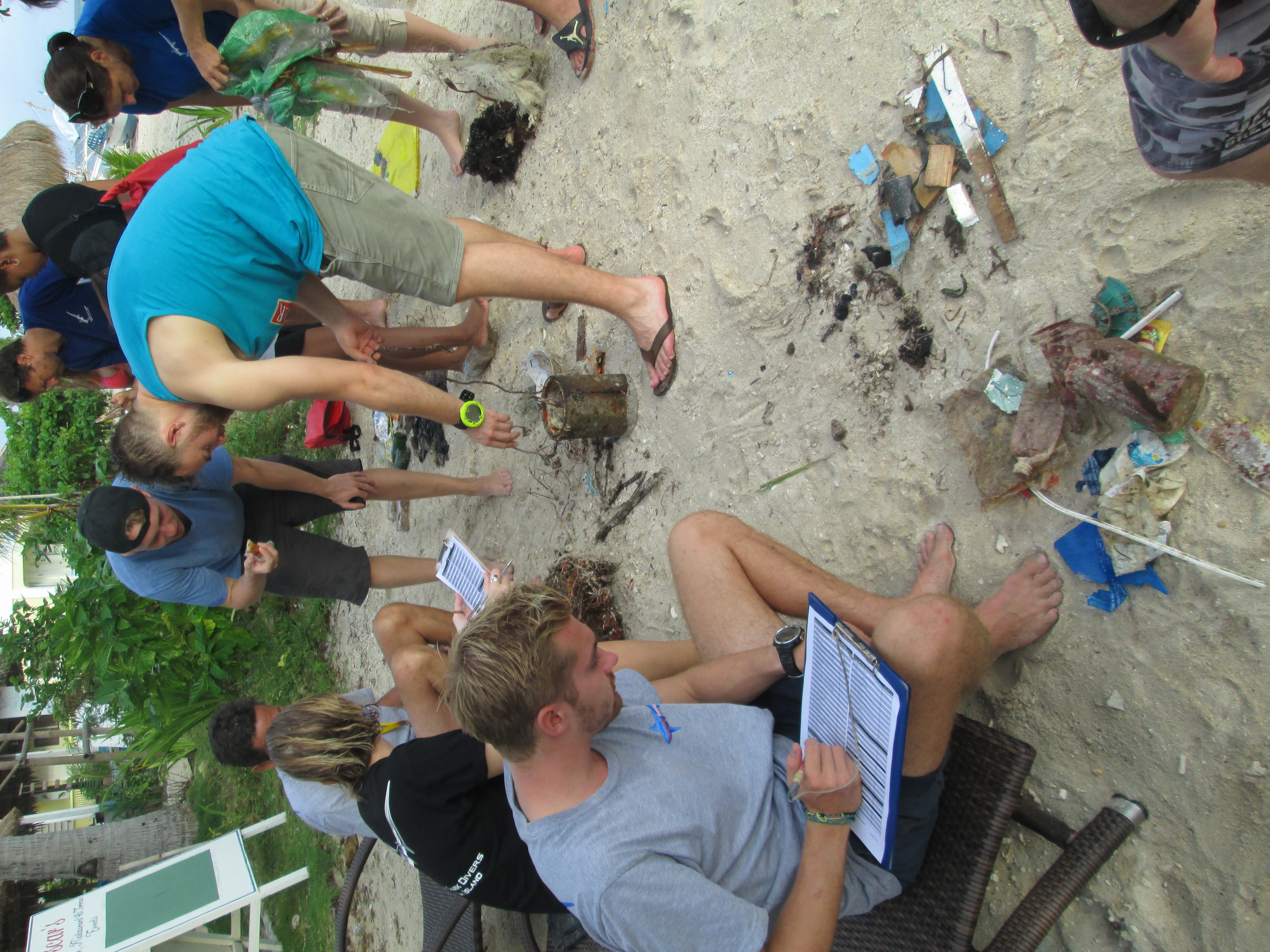
Lots of fishing line found in this area, some if it in big clumps of debris.
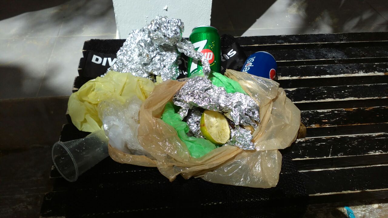
Paint can
Trapped in a plastic bottle
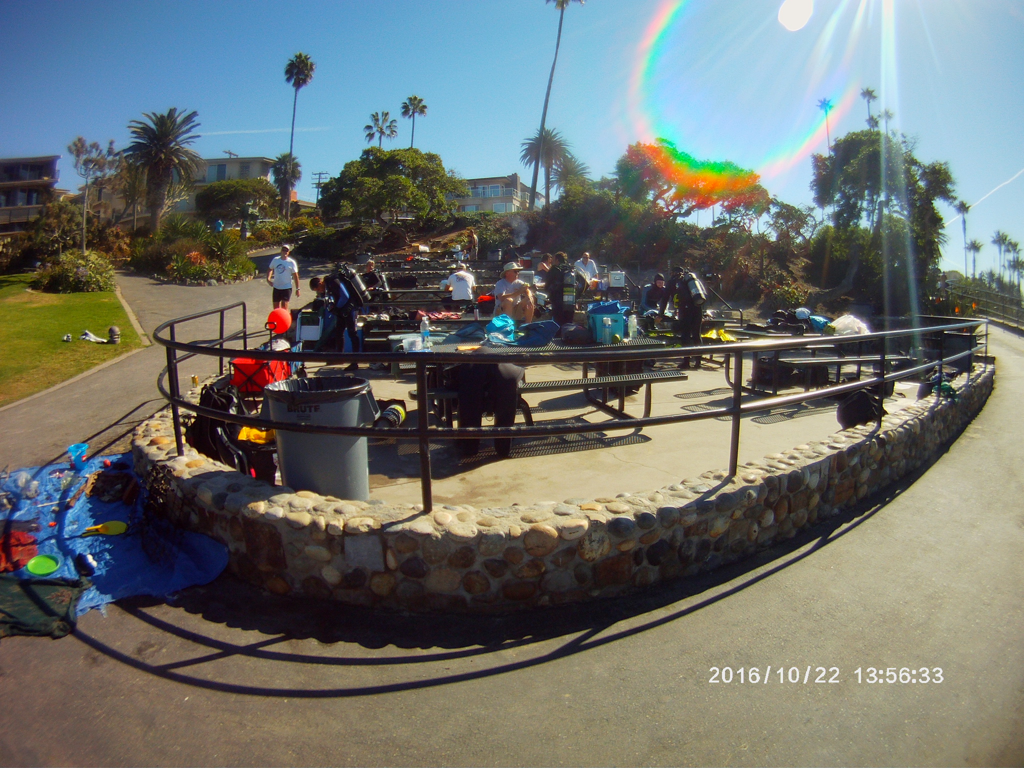
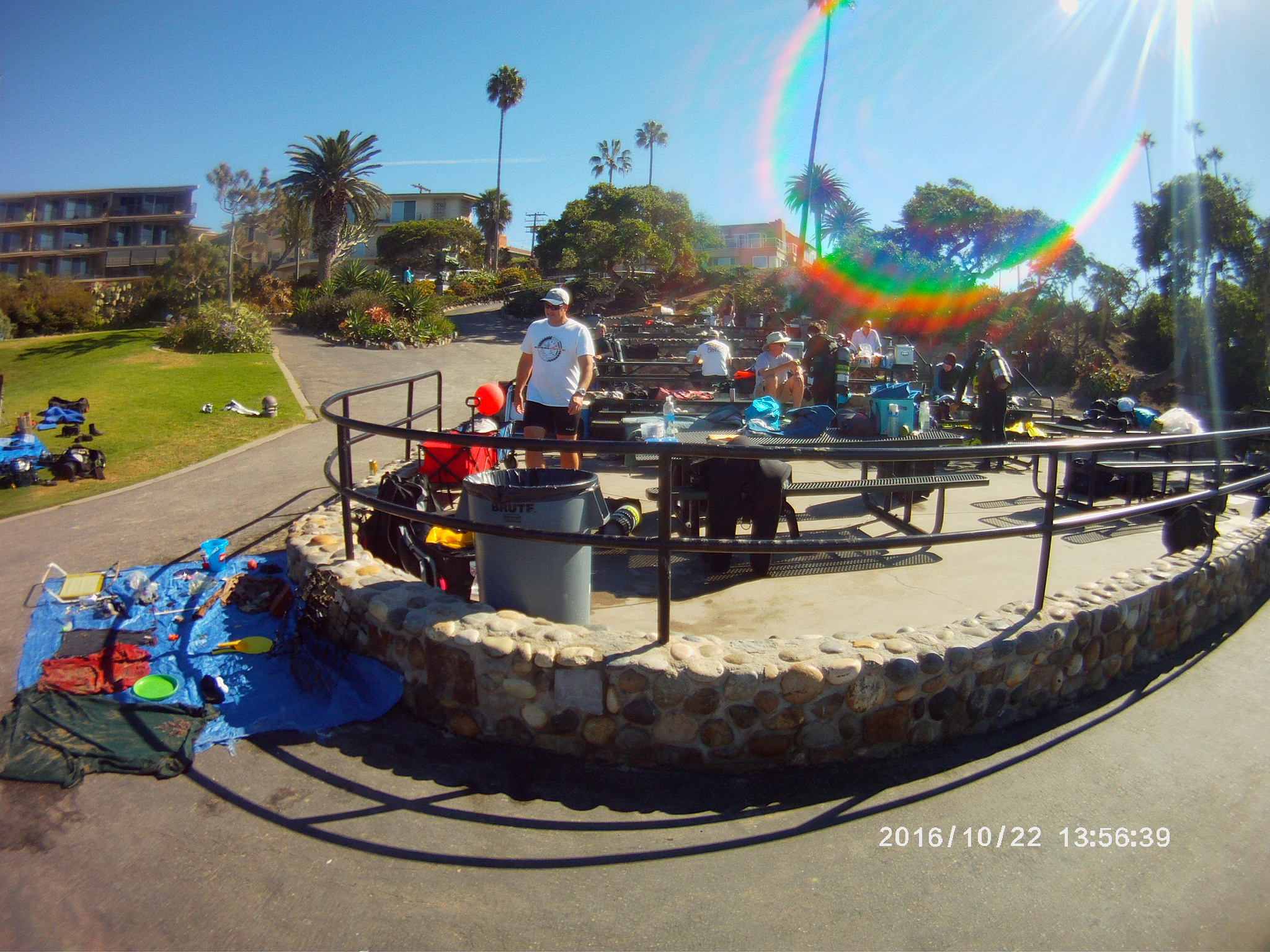
Windy, as there was a typhoon passing through
Thresher Shark Divers
Amy walton
2
1
10
4
4
2
25.00
50
12.00
3.00
estimated
700.00
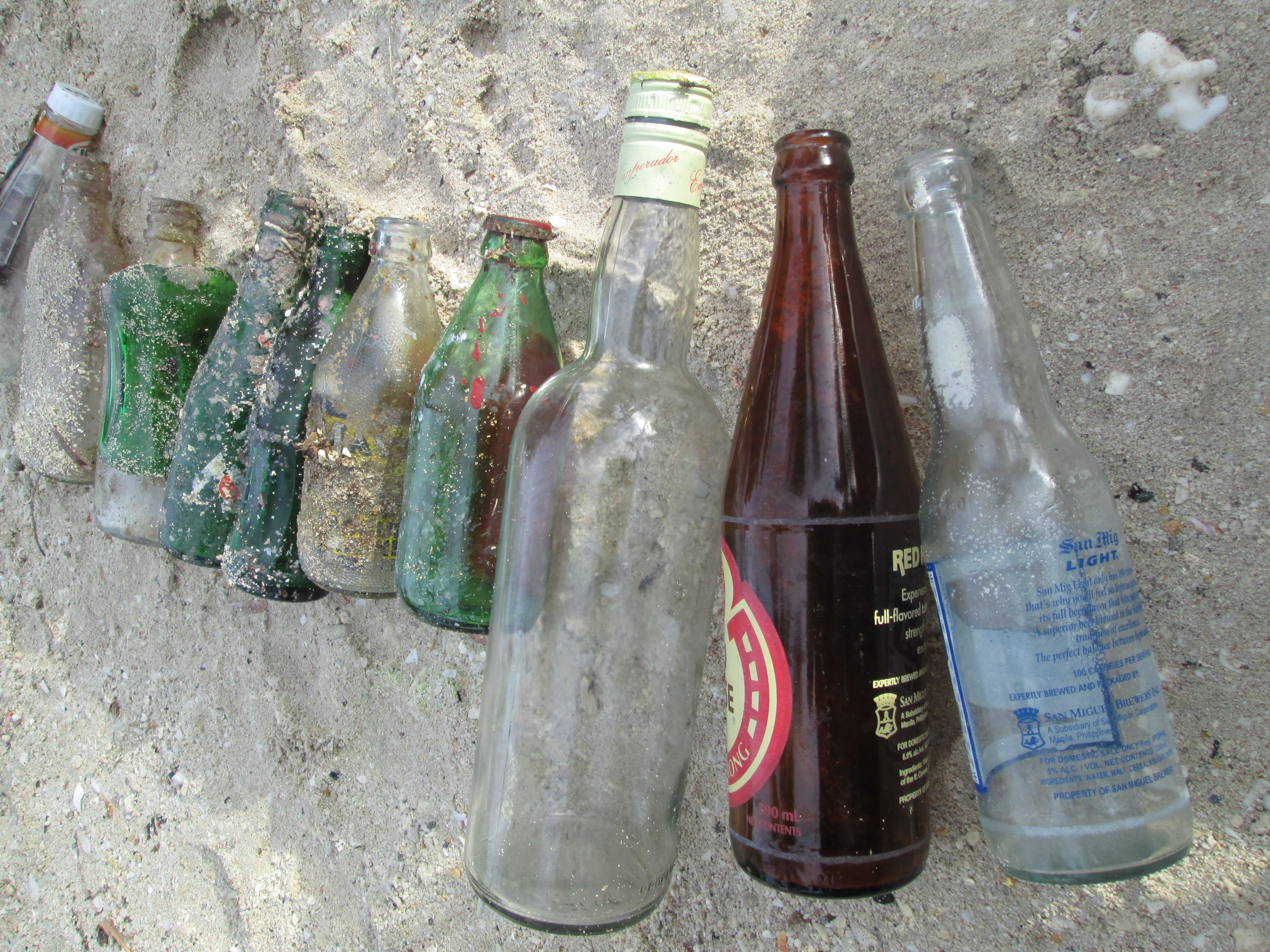
Food wrappers
On
kilograms
I have debris data to report
4
Slight for waves 0.5 -1.25 meter high
12
Dead
Box fish
1
Plastic
m2


3
1
meters
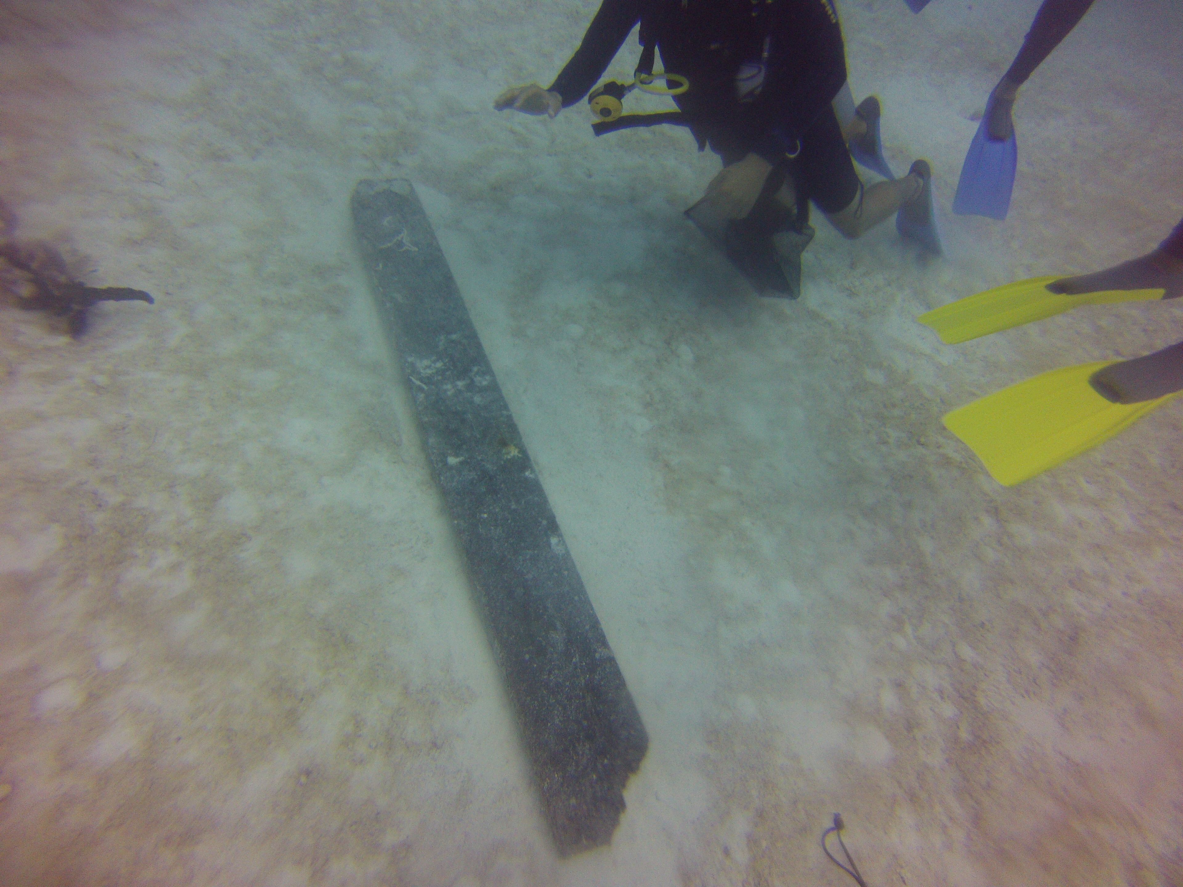
rocky reef
2
1
1
1
State\Province
Cebu
City
Malapascua Island
Map Help
Dive Location
If you know your survey site coordinates, enter them manually in decimal degrees using WGS84 Map Datum. Use the minus sign for latitudes south of the equator and longitudes west of the Prime Meridian to 180 degrees.
If you do not know your survey site coordinates, click the “Map Location” tab to use the map to zoom into your survey site and drop the pin on the map to fall within your survey dive site in the water (not on land or the beach). Ensure you zoom in as much as possible to ensure data accuracy.
Entangled Help