Smooth (wavelets) for waves 0.1 - 0.5 meter high
m2
meters
coral reef
Egypt
State\Province
Red Sea
City
el quseir
Map Help
Dive Location
If you know your survey site coordinates, enter them manually in decimal degrees using WGS84 Map Datum. Use the minus sign for latitudes south of the equator and longitudes west of the Prime Meridian to 180 degrees.
If you do not know your survey site coordinates, click the “Map Location” tab to use the map to zoom into your survey site and drop the pin on the map to fall within your survey dive site in the water (not on land or the beach). Ensure you zoom in as much as possible to ensure data accuracy.
Entangled Help
Use the vertical tabs below to record any entangled animals you found of each type.
This site was heavily bombarded with what appeared to have been a dumping of wood pulp. The shore and edge of the water were literally covered with this. Hard to explain but i have it on video. Mountains of this stuff.
Foldable fishing chair.
Mostly clear. Typhoon blew through far offshore a week ago. Waves remained at over 1meter until yesterday. Largest earthquake ever recorded in S. Korea 5 days ago about 30 miles South of Dive site.
1
1
1
Aluminum Folding fishing chair w/ canvas seat
Piece of vinyl floor covering
Some type of fiberglas-like something
Dive Against Debris Korea (Daegu)
William Henderson
1
2
1
6
1
1
8.00
44
3.10
0.50
5
estimated
32.00
1
5
Tiny pieces of plastic
On
kilograms
I have debris data to report
Smooth (wavelets) for waves 0.1 - 0.5 meter high
1
2
13
1
m2
4
meters
rocky reef
4
4
2
1
2
2
South Korea
State\Province
Gyeongsang-bukdo
City
Daegu
Map Help
Dive Location
If you know your survey site coordinates, enter them manually in decimal degrees using WGS84 Map Datum. Use the minus sign for latitudes south of the equator and longitudes west of the Prime Meridian to 180 degrees.
If you do not know your survey site coordinates, click the “Map Location” tab to use the map to zoom into your survey site and drop the pin on the map to fall within your survey dive site in the water (not on land or the beach). Ensure you zoom in as much as possible to ensure data accuracy.
Entangled Help
Use the vertical tabs below to record any entangled animals you found of each type.
Increasing sightings of fisherman fishing on local reefs, at times metres away from shore - despite Sabang being a government protected area.
Rice bags filled with sand
Mostly sunny with westerly prevailing winds
1
8
Sanitary napkin
Large Paint Chips
Asia Divers
Sabine Henkel
2
1
6
1
13.00
45
18.00
6.00
measured
500.00
1
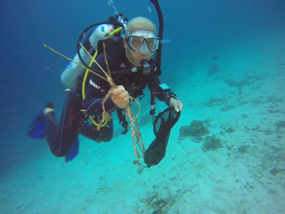
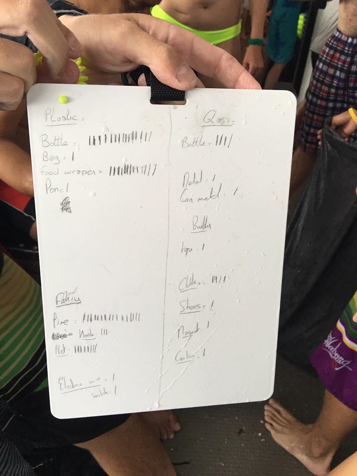
Fishing lines
Food wrappers
ropes and strings
On
kilograms
I have debris data to report
Smooth (wavelets) for waves 0.1 - 0.5 meter high
4
1
1
m2
5
2
meters
coral reef
1
1
2
Philippines
City
Puerto Galera
Map Help
Dive Location
If you know your survey site coordinates, enter them manually in decimal degrees using WGS84 Map Datum. Use the minus sign for latitudes south of the equator and longitudes west of the Prime Meridian to 180 degrees.
If you do not know your survey site coordinates, click the “Map Location” tab to use the map to zoom into your survey site and drop the pin on the map to fall within your survey dive site in the water (not on land or the beach). Ensure you zoom in as much as possible to ensure data accuracy.
Entangled Help
Use the vertical tabs below to record any entangled animals you found of each type.
On request of the Dauin Municipality all dive shops in Dauin did a cleanup dive on the morning of the 1st of September to start the celebration of the Fiesta. We collected one large fishing net with floaters weighing a total of 8,5kg. Fishing lines weighed 3,5kg.
No
Trousers
Sunny, calm seas.
Liquid Dive Dumaguete
Berlinda Koolen
7
14.00
56
12.00
3.00
measured
695.00
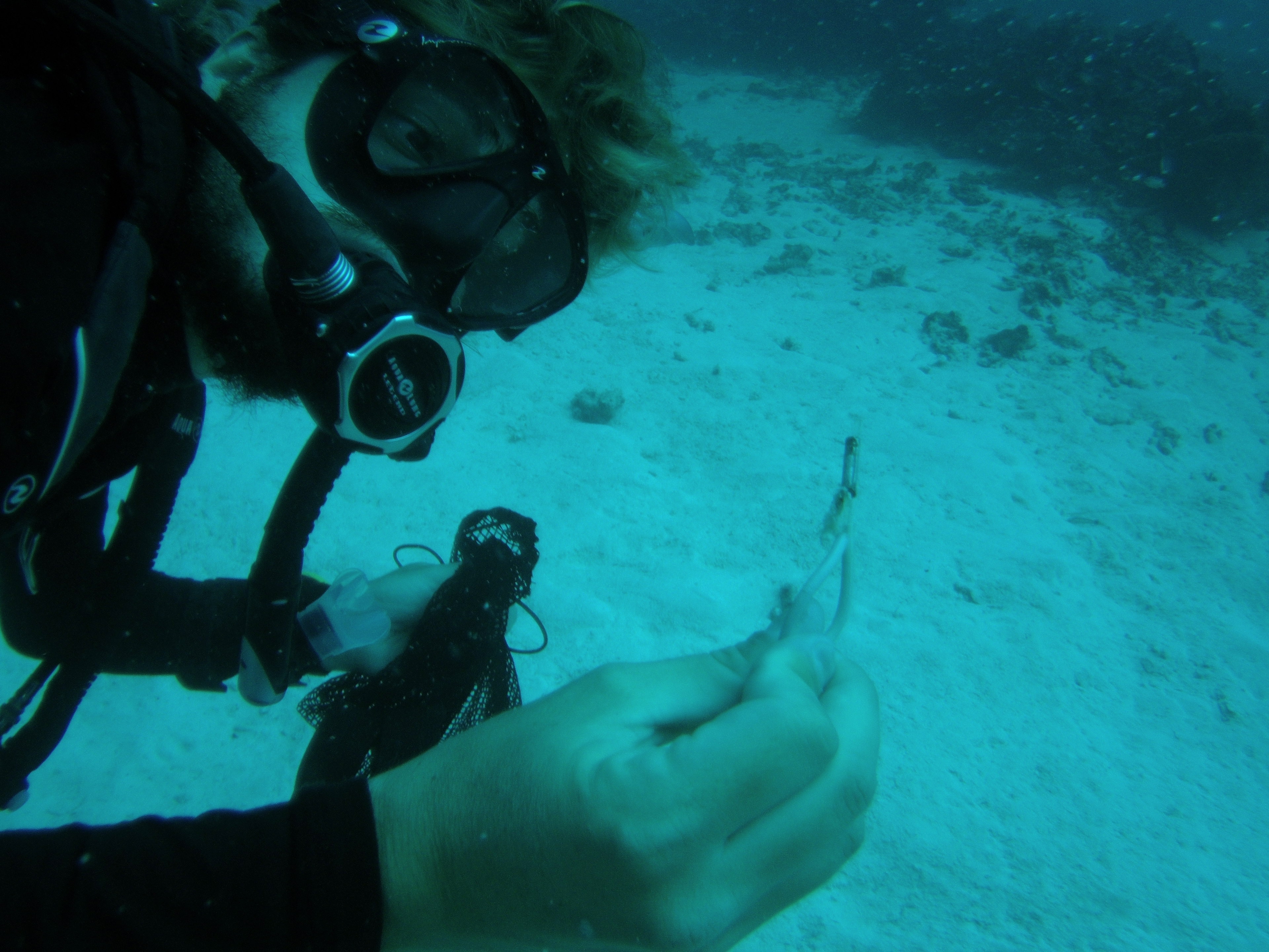
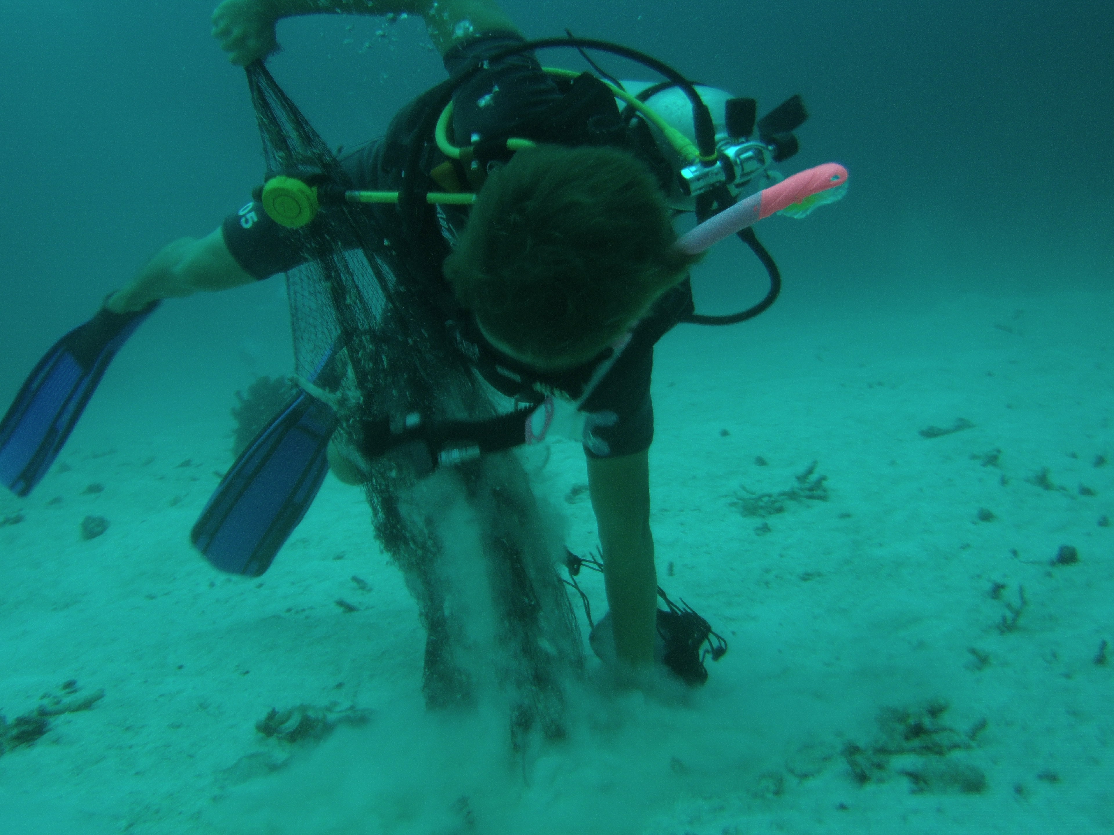
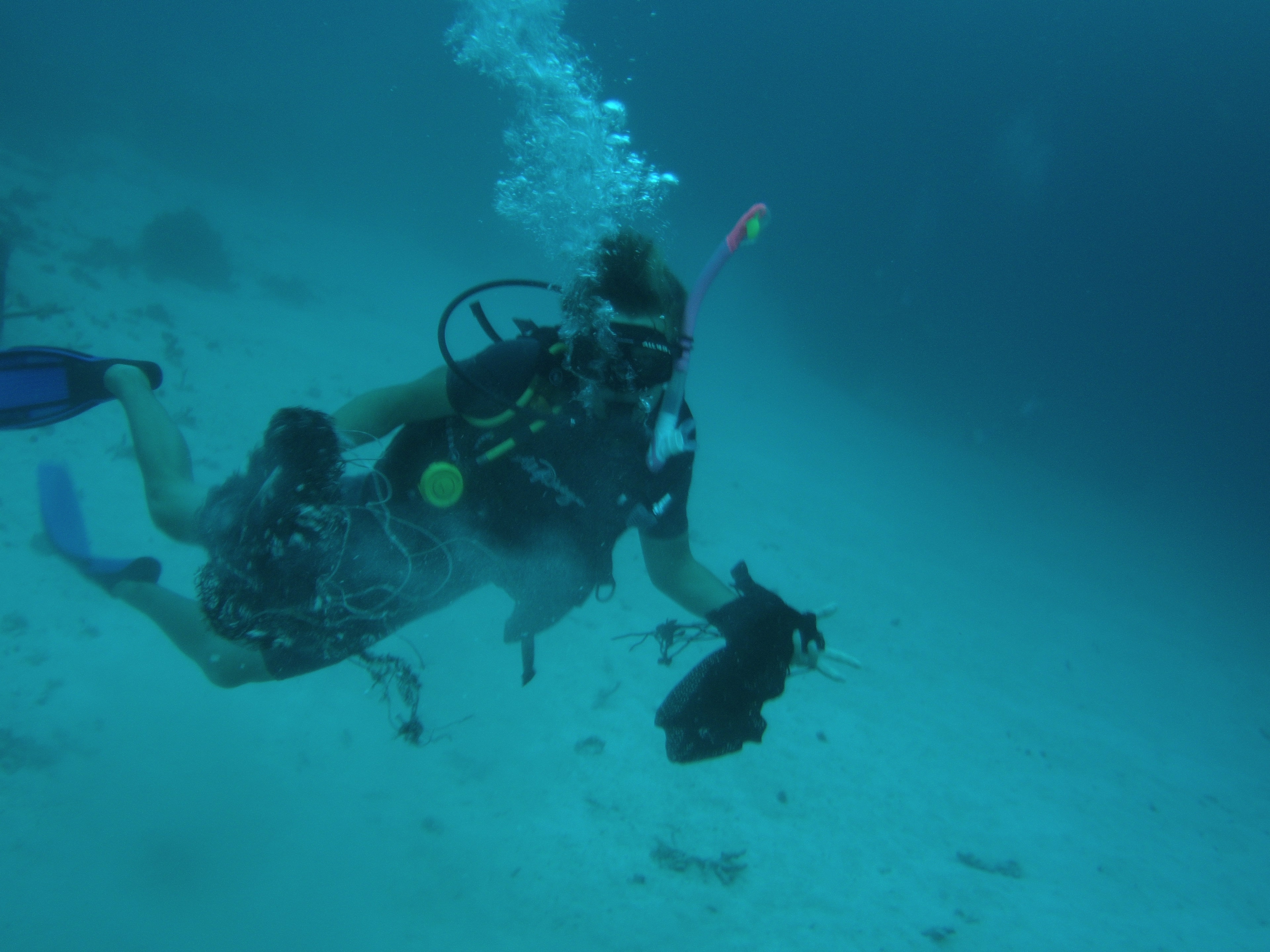
Fishing net
Fishing line
Paint cans
On
kilograms
I have debris data to report
Calm (glassy to rippled) for waves 0 – 0.1 meter high
m2
meters
coral reef
1
2
Philippines
State\Province
Negros Oriental
City
Dauin
Map Help
Dive Location
If you know your survey site coordinates, enter them manually in decimal degrees using WGS84 Map Datum. Use the minus sign for latitudes south of the equator and longitudes west of the Prime Meridian to 180 degrees.
If you do not know your survey site coordinates, click the “Map Location” tab to use the map to zoom into your survey site and drop the pin on the map to fall within your survey dive site in the water (not on land or the beach). Ensure you zoom in as much as possible to ensure data accuracy.
Entangled Help
Use the vertical tabs below to record any entangled animals you found of each type.
Rubbish collection point on the shoreline - Some of the trash may have been washed into the ocean from that point
Very enriching event as we combined finathon together with Dive Against Debris with help from Michelle Davidov from Project Aware team. Involved Juniors as part of the education about Ocean protection
Cloth hanger
Great, calm and peaceful
1
Cloth Hanger
The Dive Ship
Jason
15
4
22
1
2
6.00
180
8.00
1.00
3
estimated
7
8100.00
Unwanted fishing nets
Fishing lines with hooks
Rusty sharp objects
On
kilograms
I have debris data to report
Smooth (wavelets) for waves 0.1 - 0.5 meter high
1
1
m2
3
meters
coral reef
18
Malaysia
Map Help
Dive Location
If you know your survey site coordinates, enter them manually in decimal degrees using WGS84 Map Datum. Use the minus sign for latitudes south of the equator and longitudes west of the Prime Meridian to 180 degrees.
If you do not know your survey site coordinates, click the “Map Location” tab to use the map to zoom into your survey site and drop the pin on the map to fall within your survey dive site in the water (not on land or the beach). Ensure you zoom in as much as possible to ensure data accuracy.
Entangled Help
Use the vertical tabs below to record any entangled animals you found of each type.
we will repeat it again next week for beach cleanup day
I hope it will
Calmed water, small rain
Scubatec Dive Center
Jorge Gomez
1
1
2
3
3
5
8.00
50
21.00
4.00
estimated
5
1000.00
On
kilograms
I have debris data to report
Calm (glassy to rippled) for waves 0 – 0.1 meter high
1
m2
1
meters
rocky reef
3
1
Venezuela
State\Province
Vargas
City
La Guaira
Map Help
Dive Location
If you know your survey site coordinates, enter them manually in decimal degrees using WGS84 Map Datum. Use the minus sign for latitudes south of the equator and longitudes west of the Prime Meridian to 180 degrees.
If you do not know your survey site coordinates, click the “Map Location” tab to use the map to zoom into your survey site and drop the pin on the map to fall within your survey dive site in the water (not on land or the beach). Ensure you zoom in as much as possible to ensure data accuracy.
Entangled Help
Use the vertical tabs below to record any entangled animals you found of each type.
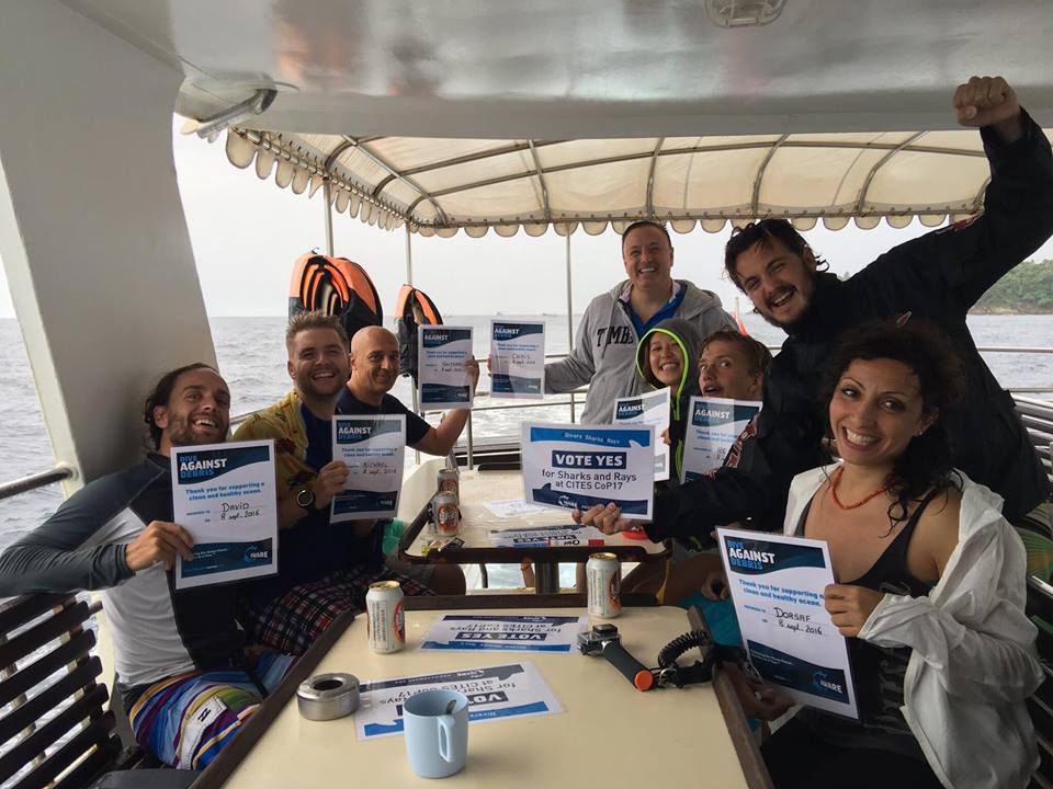
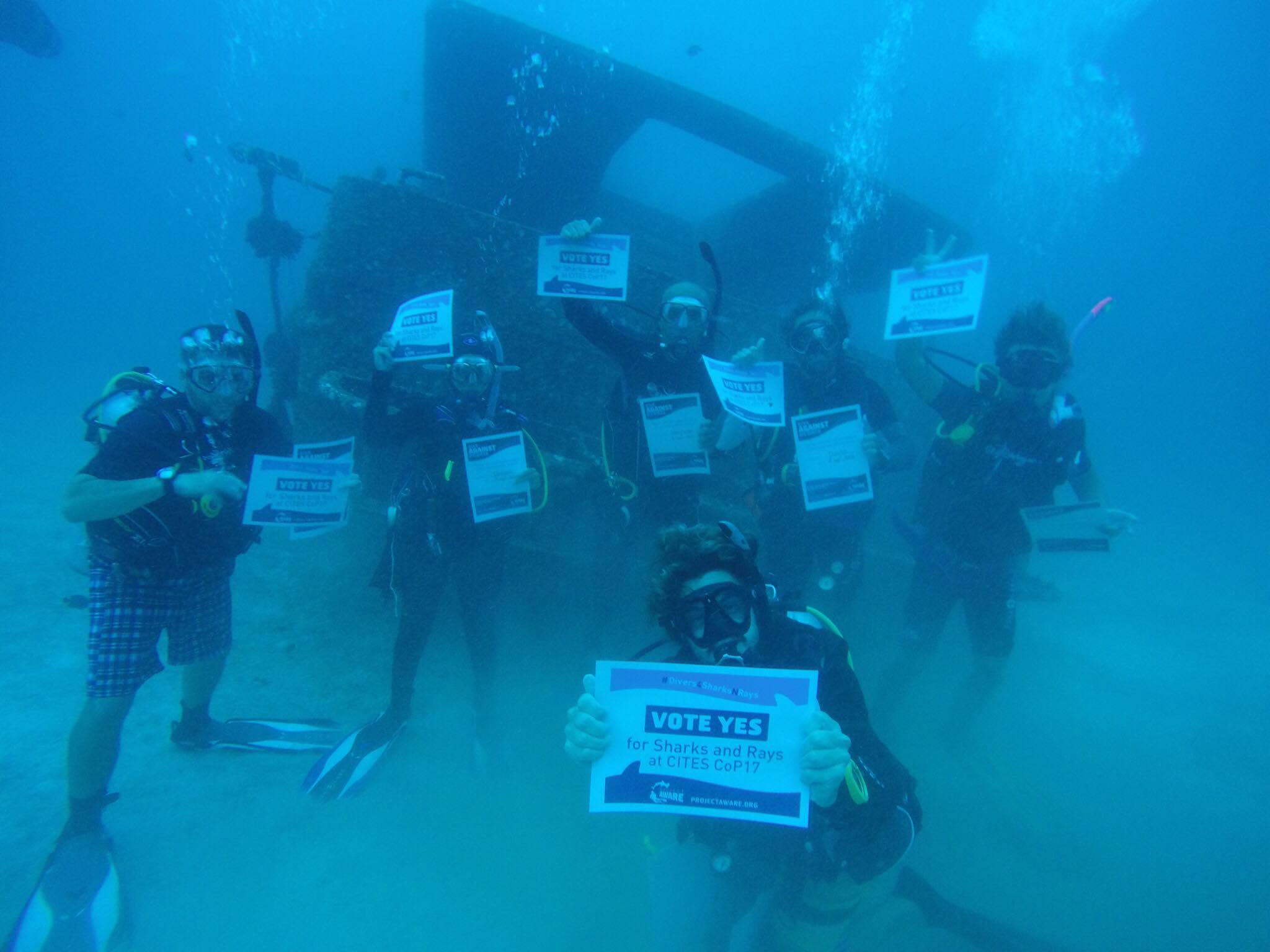
It's a shame more folks don't take care of the packaging choices and disposal of goods than they do. All we can do is continue to highlight what we are doing to save our seas and invite others to join us! Thank you Project Aware for supplying us with this international platform!
2 major water run offs from inhabited areas of the island lead direct to the beach, following the heavy rain and storms, the ghauts (gullys) were clearer and the reef was littered with heavier objects, the rest having drifted further out.
After almost 1 year of Dive Against Debris and Beach Clean Up's on our Adopted Dive Site, Charley and the Montserrat Island Dive Centre team are starting to feel like people are listening, more volunteers are coming involved and the team have been invited to continue educational activities with school groups!
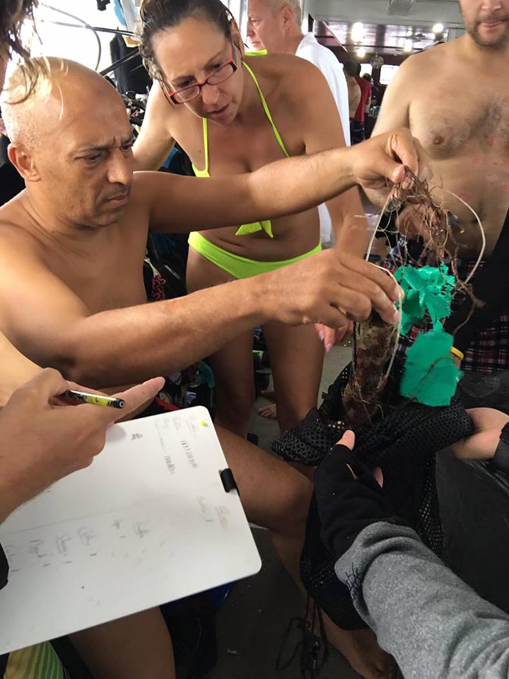
The colony had moved in to make a protective home in the trash
$10US bill, a different currency to that which we use regularly on Montserrat
Settling after a storm, heavy rain for most of the past 2 weeks
1
2
6
2
1
old congealed paint from a can (plastic?)
fishing reel (plastic)
car parts (plastic)
wash sponge (mixed)
'Leaner driver' plates (mixed - plastic/ metal)
Montserrat Island Dive Centre
Charley Bartlett
3
3
1
68
3
1
1
2
7
1
2
1
1
50
1
7
47.00
65
11.00
3.00
measured
592.00
1
1
Beverage cans - the mass quantity that grouped together in pockets of reef
Plastic cutlery - most eateries serve plastic cutlery whether eating in or taking food home
Plastic cups - in all sorts of stages of break down, floating and buried in the sand
On
kilograms
I have debris data to report
3
Smooth (wavelets) for waves 0.1 - 0.5 meter high
1
bucket
Shrimp
Released Unharmed
1
2
m2
2
1
meters
coral reef
3
14
1
14
168
Montserrat
Map Help
Dive Location
If you know your survey site coordinates, enter them manually in decimal degrees using WGS84 Map Datum. Use the minus sign for latitudes south of the equator and longitudes west of the Prime Meridian to 180 degrees.
If you do not know your survey site coordinates, click the “Map Location” tab to use the map to zoom into your survey site and drop the pin on the map to fall within your survey dive site in the water (not on land or the beach). Ensure you zoom in as much as possible to ensure data accuracy.
Entangled Help
Use the vertical tabs below to record any entangled animals you found of each type.
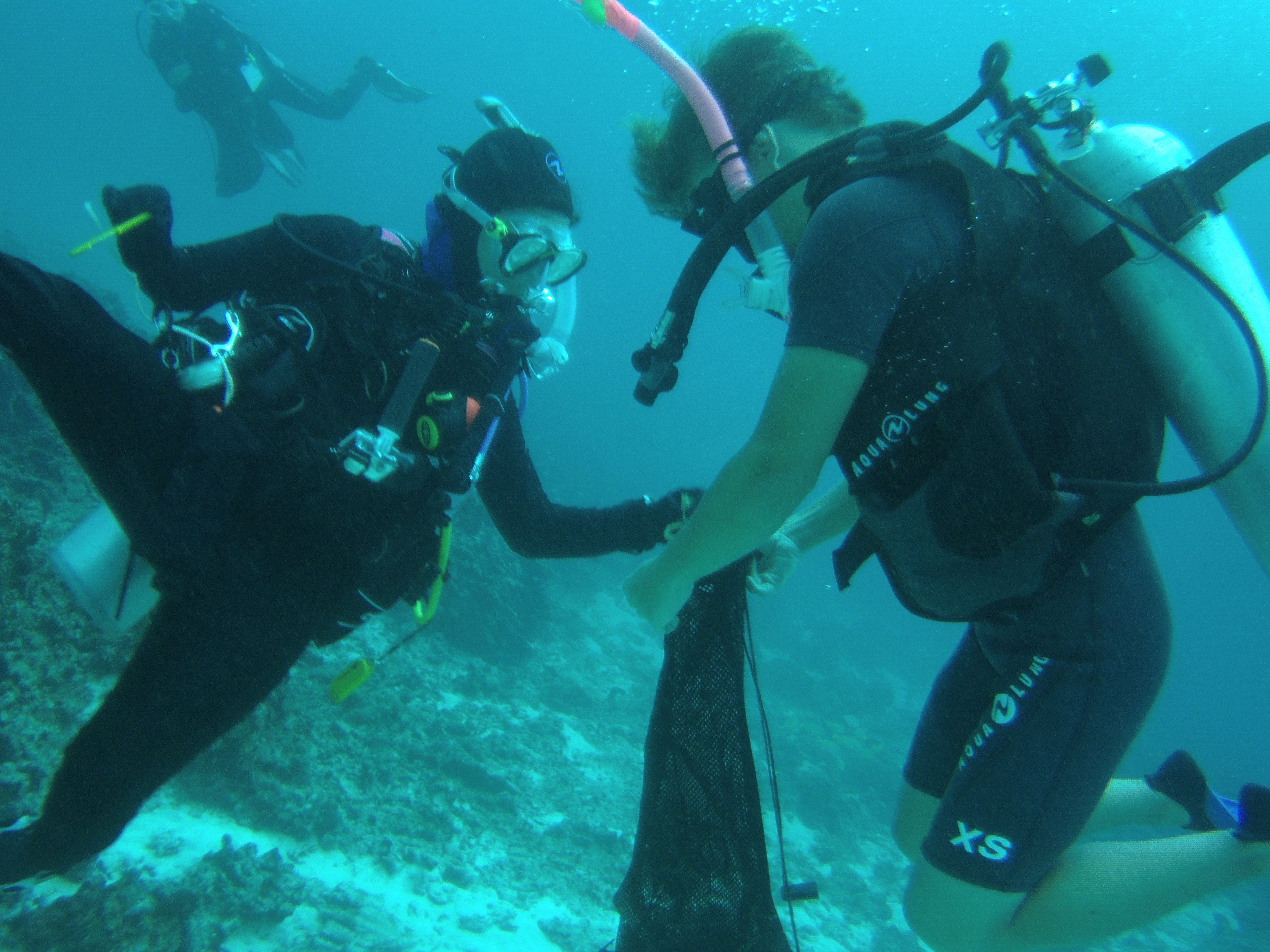
The 2 largest debris encountered was plastic (from any tourist boat I guess) and Fishing line and net (from fisherman boat that hang around probably)
As we were 9, we built up 3 different team to cover a large area and we haven't find that much Debris compare to last year. Less Debris or more everyday work from every divers for collecting debris, I wouldn't be able to say.
From now one, I'm planning on running a dive against Debris every month on this specific dive site to see the evolution.
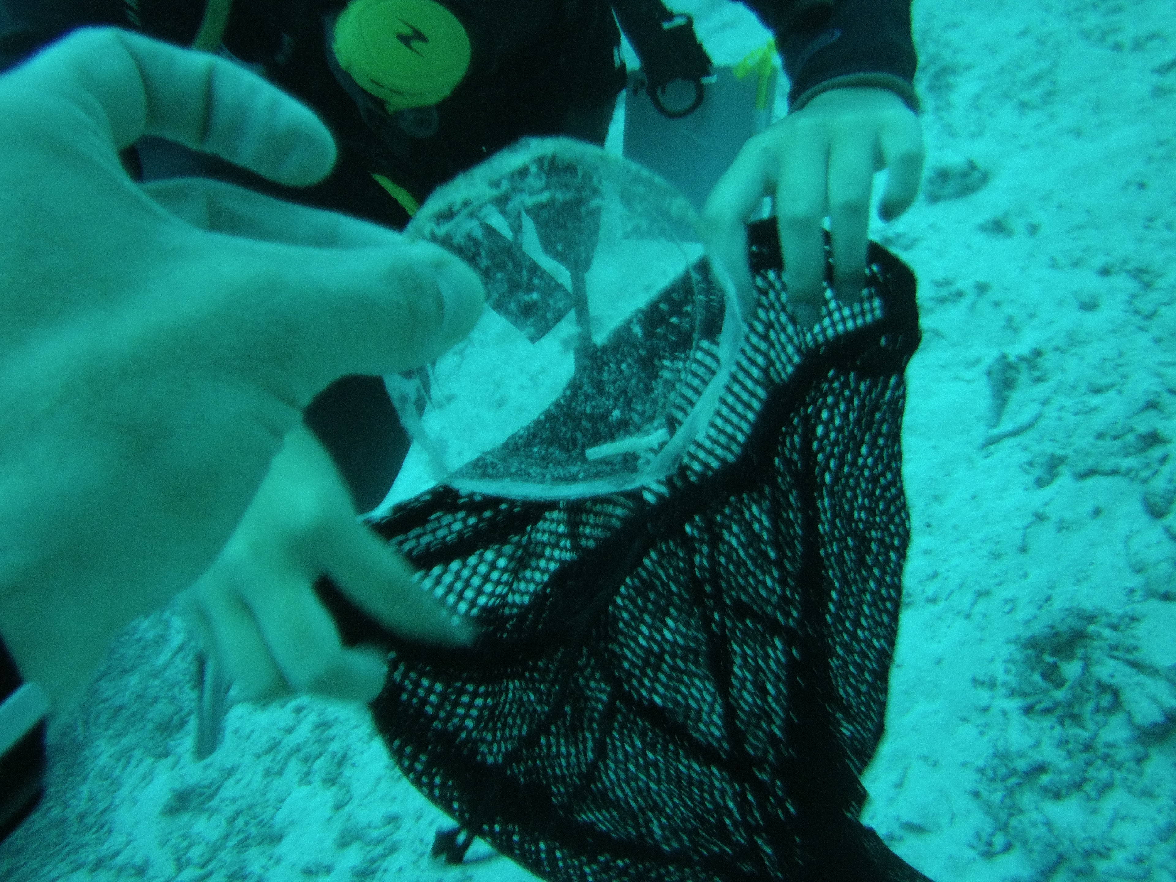
We found an electric switch.
Rainy and wavy (average of 1.8 meter waves the all week)
All 4 Diving
Nicolas Bergere
9
1
14
1
4.00
44
25.00
3.00
estimated
3
20000.00
Plastic bottle, everybody should be aware to not throwing anything from the boat
Fishing line are found way to lose from the shore where the coral are still fighting to live
Fishing net, this area have a lot of staghorn coral from which one it's very hard to remove fishing net.
1
On
kilograms
I have debris data to report
4
Smooth (wavelets) for waves 0.1 - 0.5 meter high
4
m2
1
meters
coral reef
1
1
1
Thailand
State\Province
Phuket
City
Patong
Map Help
Dive Location
If you know your survey site coordinates, enter them manually in decimal degrees using WGS84 Map Datum. Use the minus sign for latitudes south of the equator and longitudes west of the Prime Meridian to 180 degrees.
If you do not know your survey site coordinates, click the “Map Location” tab to use the map to zoom into your survey site and drop the pin on the map to fall within your survey dive site in the water (not on land or the beach). Ensure you zoom in as much as possible to ensure data accuracy.
Entangled Help
Use the vertical tabs below to record any entangled animals you found of each type.
Calm (glassy to rippled) for waves 0 – 0.1 meter high
1
m2
meters
other
1
1
6
1
8
7
1
Slovenia
City
Bled
Map Help
Dive Location
If you know your survey site coordinates, enter them manually in decimal degrees using WGS84 Map Datum. Use the minus sign for latitudes south of the equator and longitudes west of the Prime Meridian to 180 degrees.
If you do not know your survey site coordinates, click the “Map Location” tab to use the map to zoom into your survey site and drop the pin on the map to fall within your survey dive site in the water (not on land or the beach). Ensure you zoom in as much as possible to ensure data accuracy.
Entangled Help
Use the vertical tabs below to record any entangled animals you found of each type.