ADS124 - The Gallery
119
110
38
-8.36513957, 116.08496
1
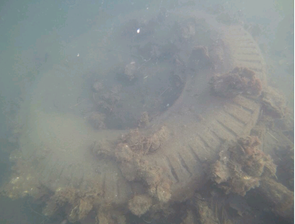
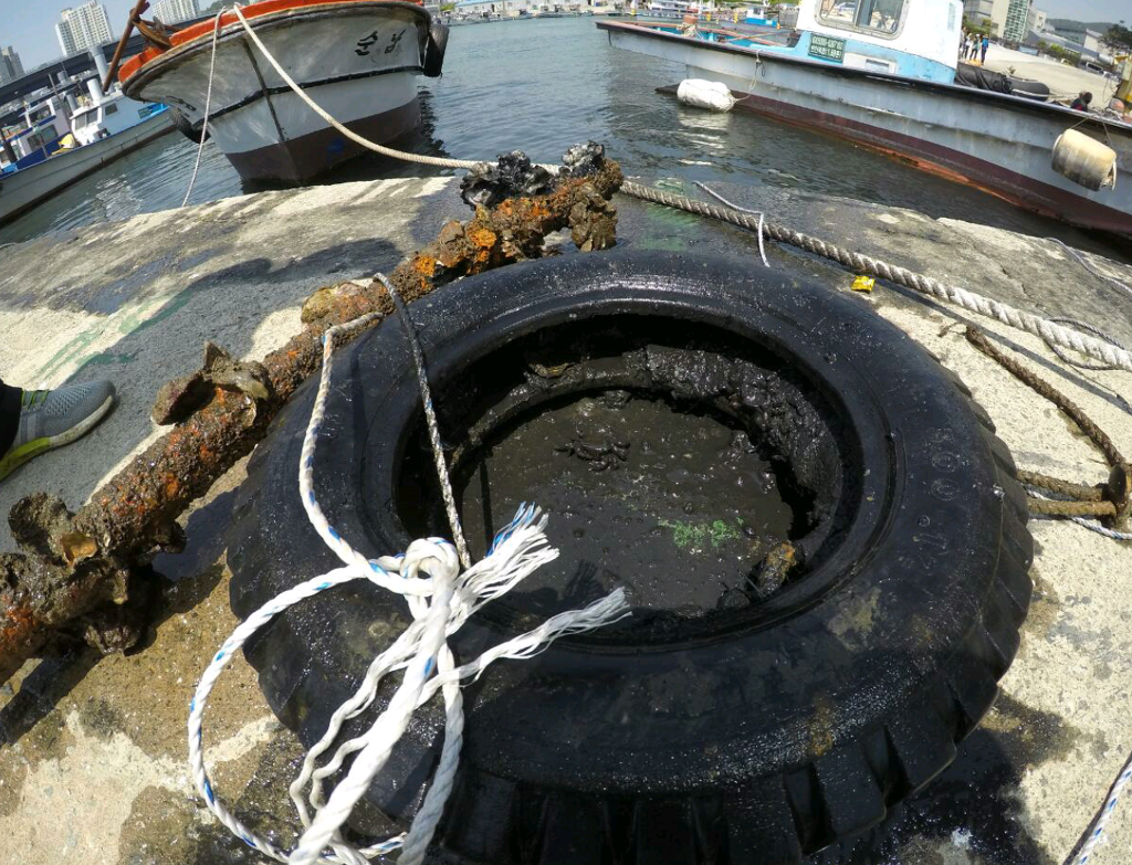
rock
15
Very hot. No rain.
1
1
1
1
1
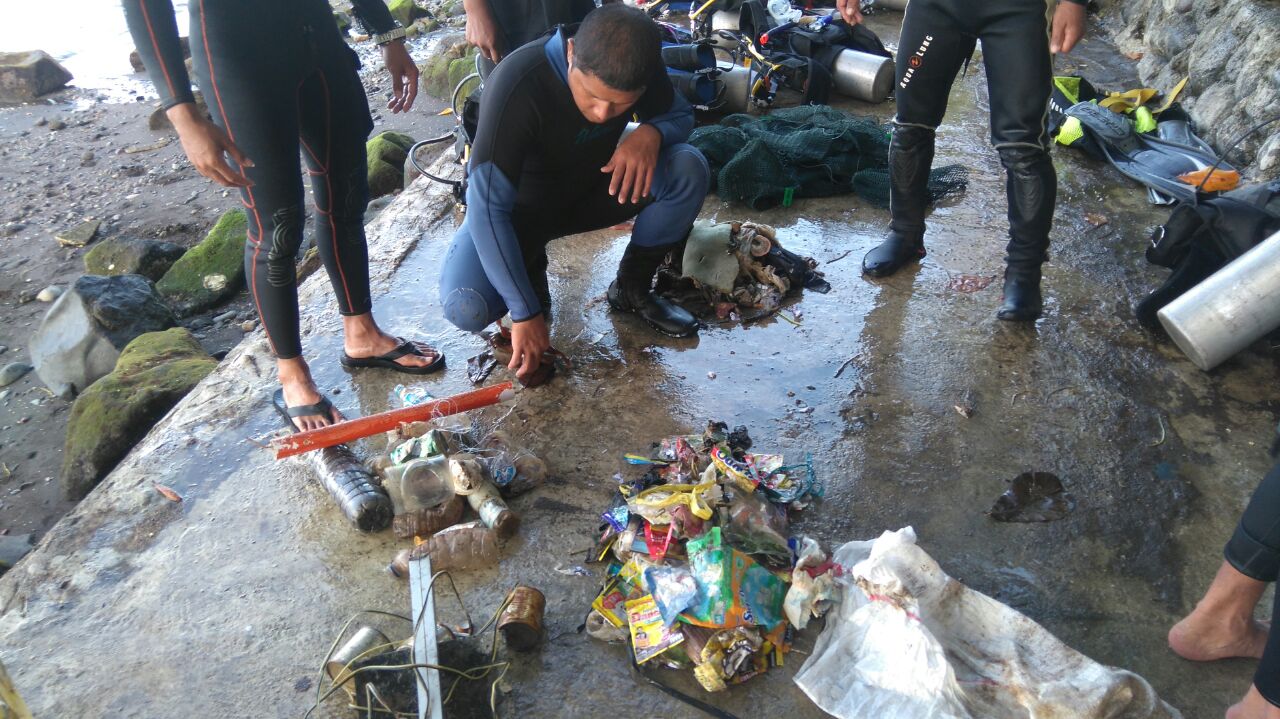
Toothpaste
Broom
Plastic boarding card
Cosmetic packaging
Bamboo basket
7Seas Dive Gili
Renee Street
18
1
1
1
1
1
1
10
13
2
1
1
47
31.00
53
18.00
9.00
measured
7500.00
On
kilograms
I have debris data to report
1
Smooth (wavelets) for waves 0.1 - 0.5 meter high
3
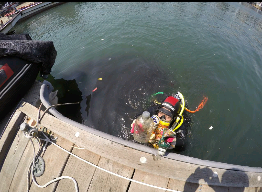
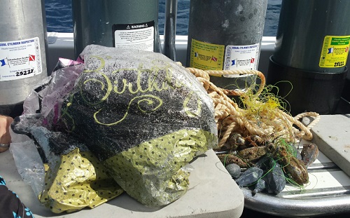
Plastic bag
Crab
Released Unharmed
1
2
5
m2
1
Plastic bag
Octopus
Dead
meters
coral reef
1
1
4
3
23
1
City
Gili Air
Map Help
Dive Location
If you know your survey site coordinates, enter them manually in decimal degrees using WGS84 Map Datum. Use the minus sign for latitudes south of the equator and longitudes west of the Prime Meridian to 180 degrees.
If you do not know your survey site coordinates, click the “Map Location” tab to use the map to zoom into your survey site and drop the pin on the map to fall within your survey dive site in the water (not on land or the beach). Ensure you zoom in as much as possible to ensure data accuracy.
Entangled Help