Had to cut live line from fisherman to be able to release turtle since it was being pinned against one of the columns on it's way to ascend for air.
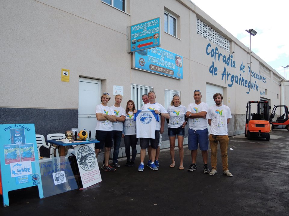
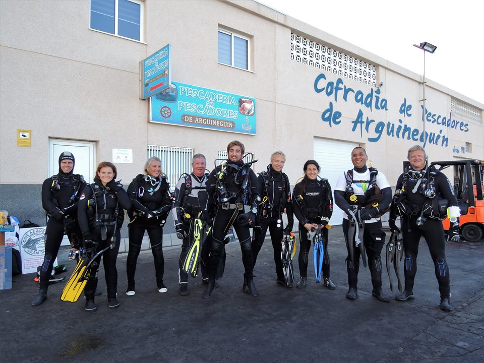
Black Beard Sports
Gabriel Espino
3
1
5
8.00
51
41.00
20.00
estimated
7
4800.00
On
pounds
I have debris data to report
2
Smooth (wavelets) for waves 0.1 - 0.5 meter high
m2
feet
other
1
1
5
Fishing line with hooks
Released Unharmed
Hawksbill Turtle
2
Puerto Rico
State\Province
Puerto Rico
City
Vieques
Map Help
Dive Location
If you know your survey site coordinates, enter them manually in decimal degrees using WGS84 Map Datum. Use the minus sign for latitudes south of the equator and longitudes west of the Prime Meridian to 180 degrees.
If you do not know your survey site coordinates, click the “Map Location” tab to use the map to zoom into your survey site and drop the pin on the map to fall within your survey dive site in the water (not on land or the beach). Ensure you zoom in as much as possible to ensure data accuracy.
Entangled Help
Use the vertical tabs below to record any entangled animals you found of each type.
Aluminum cans. The location is an unguarded quarry, so kids and adults routinely hang out there and drink. Alot of the debris winds up in the water or in the woods
On
pounds
I have debris data to report
6
Calm (glassy to rippled) for waves 0 – 0.1 meter high
1
4
ft2
feet
other
5
1
3
1
26
2
Language
English
United States
State\Province
Virginia
City
Occoquan
Map Help
Dive Location
If you know your survey site coordinates, enter them manually in decimal degrees using WGS84 Map Datum. Use the minus sign for latitudes south of the equator and longitudes west of the Prime Meridian to 180 degrees.
If you do not know your survey site coordinates, click the “Map Location” tab to use the map to zoom into your survey site and drop the pin on the map to fall within your survey dive site in the water (not on land or the beach). Ensure you zoom in as much as possible to ensure data accuracy.
Entangled Help
Use the vertical tabs below to record any entangled animals you found of each type.
Smooth (wavelets) for waves 0.1 - 0.5 meter high
m2
meters
coral reef
3
Language
English
Honduras
State\Province
Bay Islands
City
Roatan
Map Help
Dive Location
If you know your survey site coordinates, enter them manually in decimal degrees using WGS84 Map Datum. Use the minus sign for latitudes south of the equator and longitudes west of the Prime Meridian to 180 degrees.
If you do not know your survey site coordinates, click the “Map Location” tab to use the map to zoom into your survey site and drop the pin on the map to fall within your survey dive site in the water (not on land or the beach). Ensure you zoom in as much as possible to ensure data accuracy.
Entangled Help
Use the vertical tabs below to record any entangled animals you found of each type.
Smooth (wavelets) for waves 0.1 - 0.5 meter high
m2
meters
seagrass
3
Language
English
Tunisia
State\Province
Djerba Island
City
Midoun
Map Help
Dive Location
If you know your survey site coordinates, enter them manually in decimal degrees using WGS84 Map Datum. Use the minus sign for latitudes south of the equator and longitudes west of the Prime Meridian to 180 degrees.
If you do not know your survey site coordinates, click the “Map Location” tab to use the map to zoom into your survey site and drop the pin on the map to fall within your survey dive site in the water (not on land or the beach). Ensure you zoom in as much as possible to ensure data accuracy.
Entangled Help
Use the vertical tabs below to record any entangled animals you found of each type.
Small meru caught in a hook, after having removed it, we released in a place sheltered from predators
Storm
Archimede Djerba
Abdelaziz Aissine
4
2
30.00
31
18.00
15.00
1
estimated
8
900.00
fishing: nets & pieces of nets
On
kilograms
I have debris data to report
Smooth (wavelets) for waves 0.1 - 0.5 meter high
Injured
Meru
1
fishing: sinkers, lures, hooks
m2
meters
seagrass
1
Language
English
Tunisia
State\Province
Djerba Island
City
Midoun
Map Help
Dive Location
If you know your survey site coordinates, enter them manually in decimal degrees using WGS84 Map Datum. Use the minus sign for latitudes south of the equator and longitudes west of the Prime Meridian to 180 degrees.
If you do not know your survey site coordinates, click the “Map Location” tab to use the map to zoom into your survey site and drop the pin on the map to fall within your survey dive site in the water (not on land or the beach). Ensure you zoom in as much as possible to ensure data accuracy.
Entangled Help
Use the vertical tabs below to record any entangled animals you found of each type.
The Vero Beach Scuba Club and its members were co-sponsors of the dive and provided free food and drinks to the participants. Nona Williams and Paul Seldes from the group helped with registration, collection of debris from the divers and logistics.
None
A single Adidas sandal
Weather the week prior was relatively clear with some breezy conditions but little to no rain.
Blue Heron Bridge Scuba
Floyd Devine
2
10
3
4
4
10
24
3
4
1
19.00
70
22.00
5.00
measured
45
42805.00
3
Fishing line
Plastic bags
plastic and glass fragments
On
pounds
I have debris data to report
6
Smooth (wavelets) for waves 0.1 - 0.5 meter high
1
ft2
4
1
feet
rocky reef
3
3
6
1
4
7
10
Language
English
United States
State\Province
FL
City
Riviera Beach
Map Help
Dive Location
If you know your survey site coordinates, enter them manually in decimal degrees using WGS84 Map Datum. Use the minus sign for latitudes south of the equator and longitudes west of the Prime Meridian to 180 degrees.
If you do not know your survey site coordinates, click the “Map Location” tab to use the map to zoom into your survey site and drop the pin on the map to fall within your survey dive site in the water (not on land or the beach). Ensure you zoom in as much as possible to ensure data accuracy.
Entangled Help
Use the vertical tabs below to record any entangled animals you found of each type.
The clean up was organized by Puertos Canarios and the Fish Council of Mogan, Mr Artemi Artiles. Dive Academy was there to help as we are the local Dive Center in the Area and the ones providing more volunteers. We decided to join, the full team of Dive Academy Gran Canaria.
The debris was weighted with special machines in the Arguineguin Harbour, plus they gave us a massive hand using the cranes to collect the heavy objects and support on surface from local authorities, including Local Police and Red Cross Spain.
At the end of the day a massive Paella was provided by the townhall to recover energy as we were for 80 minutos non-stop collecting the trash.
Electrical Static Bike
Good
4
Market trollies
Dive Academy Gran Canaria
Matthew Astill
20
5
5
30
2
26
1
4
150
10
90
20
10000.00
80
8.00
3.00
50
measured
298.00
200
Plastic
FIshing Lines
Rope
On
kilograms
I have debris data to report
20
Calm (glassy to rippled) for waves 0 – 0.1 meter high
10
4
2
m2
meters
rocky reef
2
100
Language
English
Spain
State\Province
Las Palmas
City
Arguineguin
Map Help
Dive Location
If you know your survey site coordinates, enter them manually in decimal degrees using WGS84 Map Datum. Use the minus sign for latitudes south of the equator and longitudes west of the Prime Meridian to 180 degrees.
If you do not know your survey site coordinates, click the “Map Location” tab to use the map to zoom into your survey site and drop the pin on the map to fall within your survey dive site in the water (not on land or the beach). Ensure you zoom in as much as possible to ensure data accuracy.
Entangled Help
Use the vertical tabs below to record any entangled animals you found of each type.