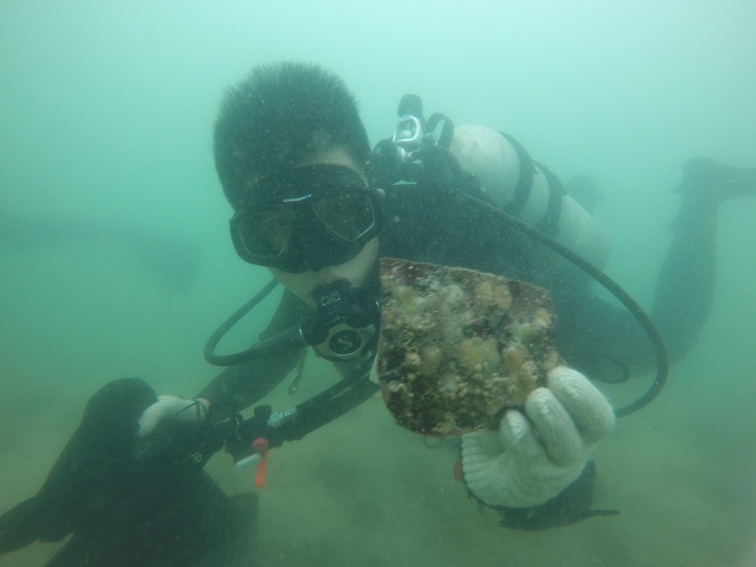
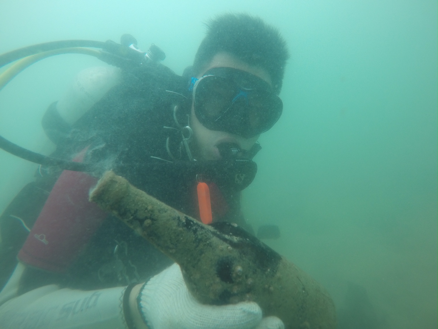
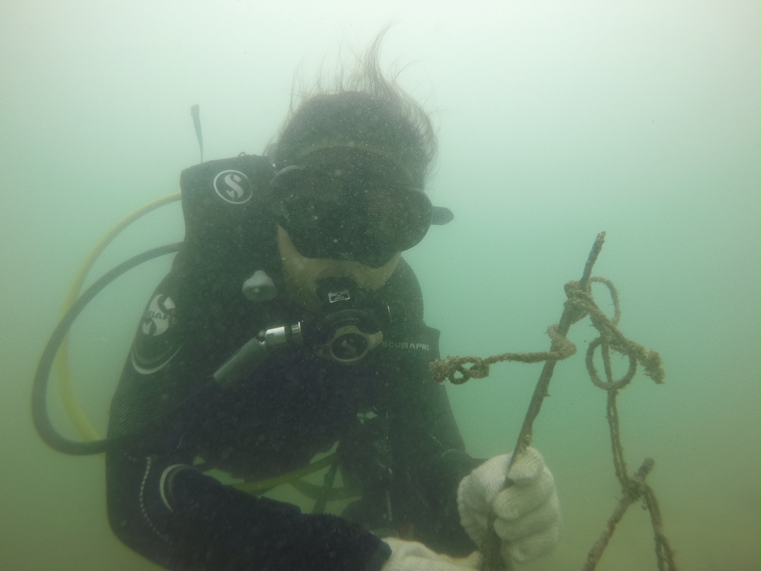
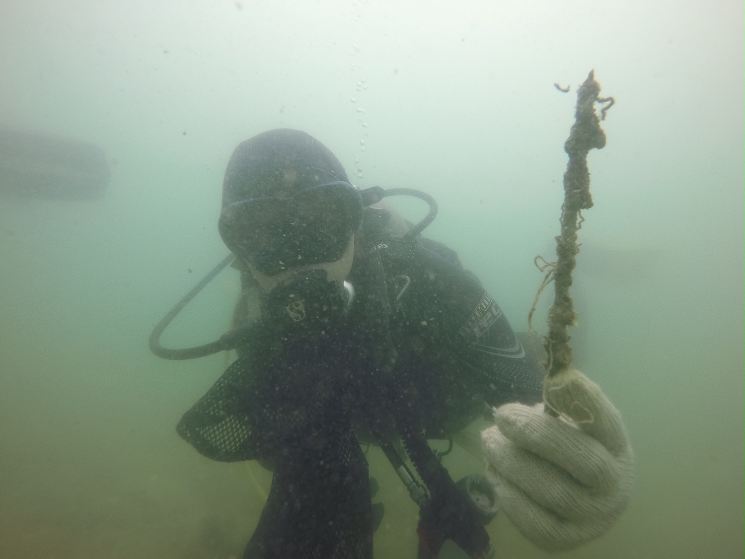
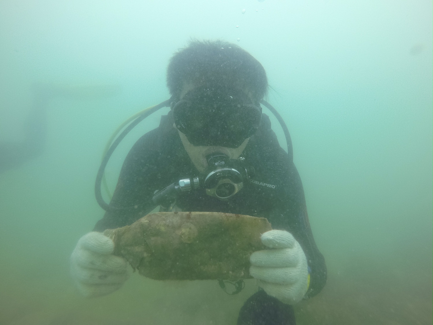
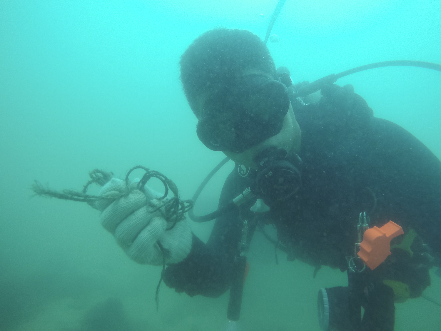
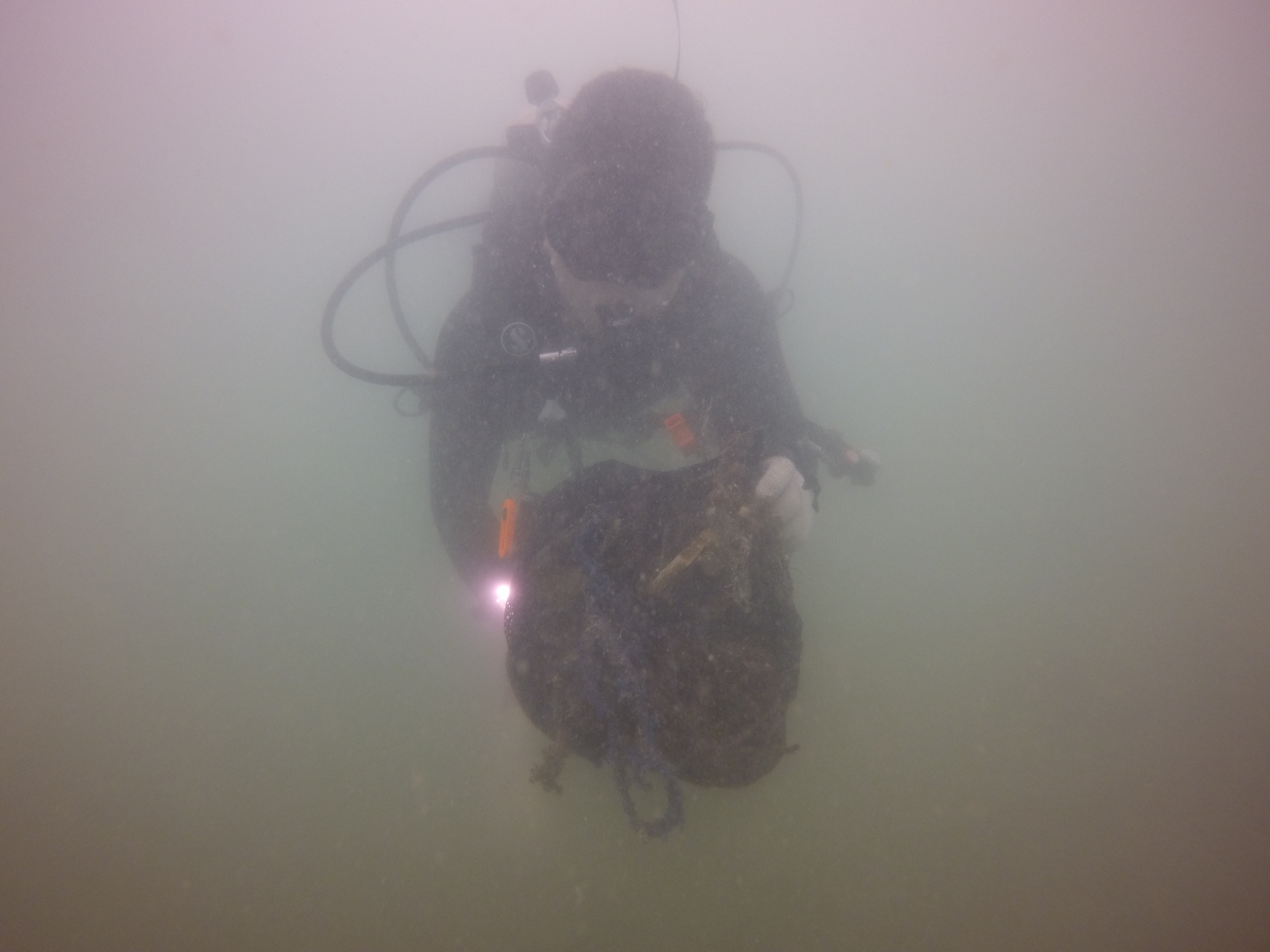
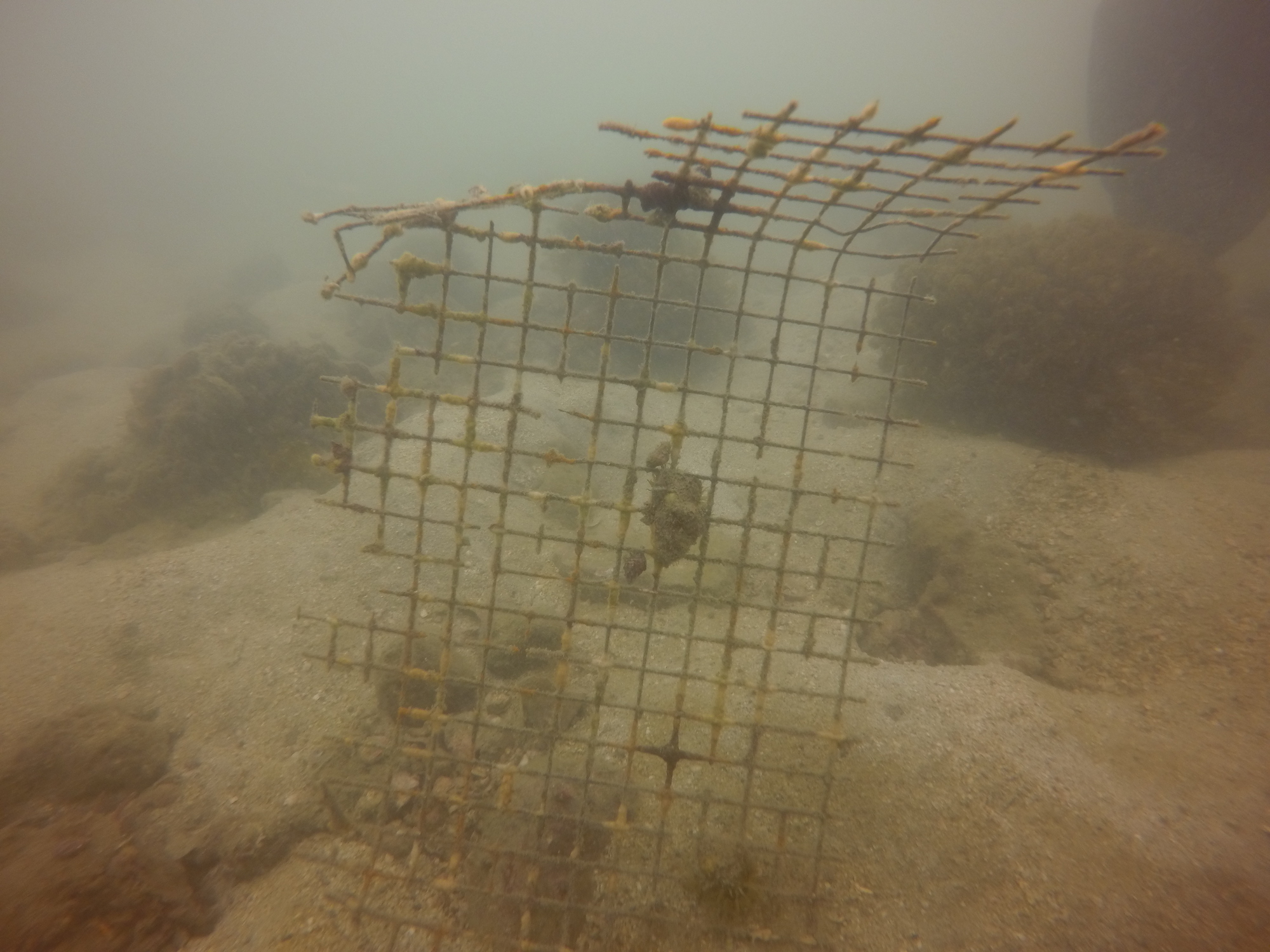
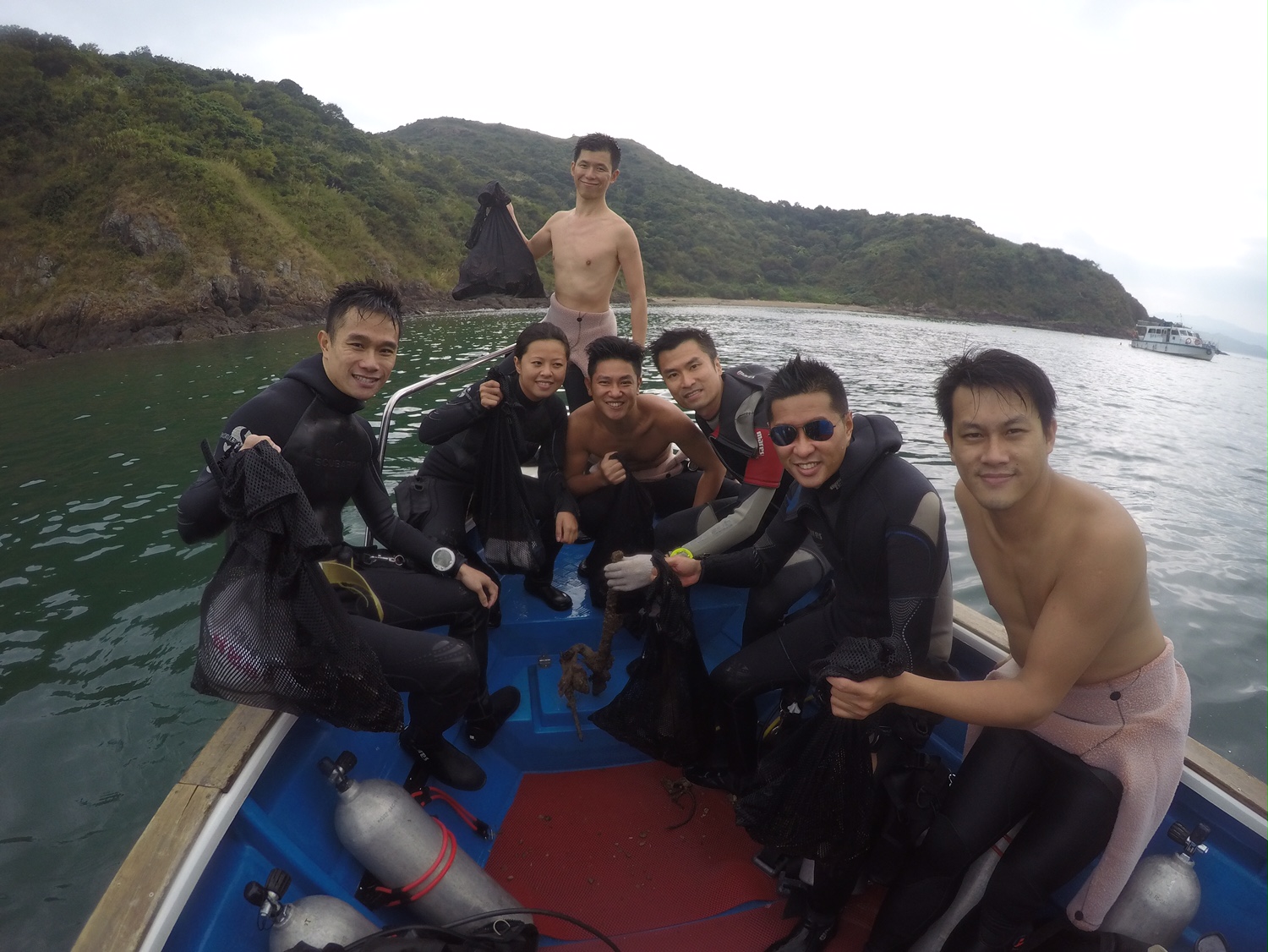
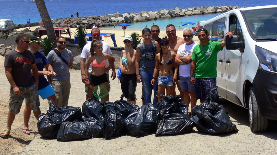
Playa Flamingo
28.86282566812069, -13.825200945138931
0
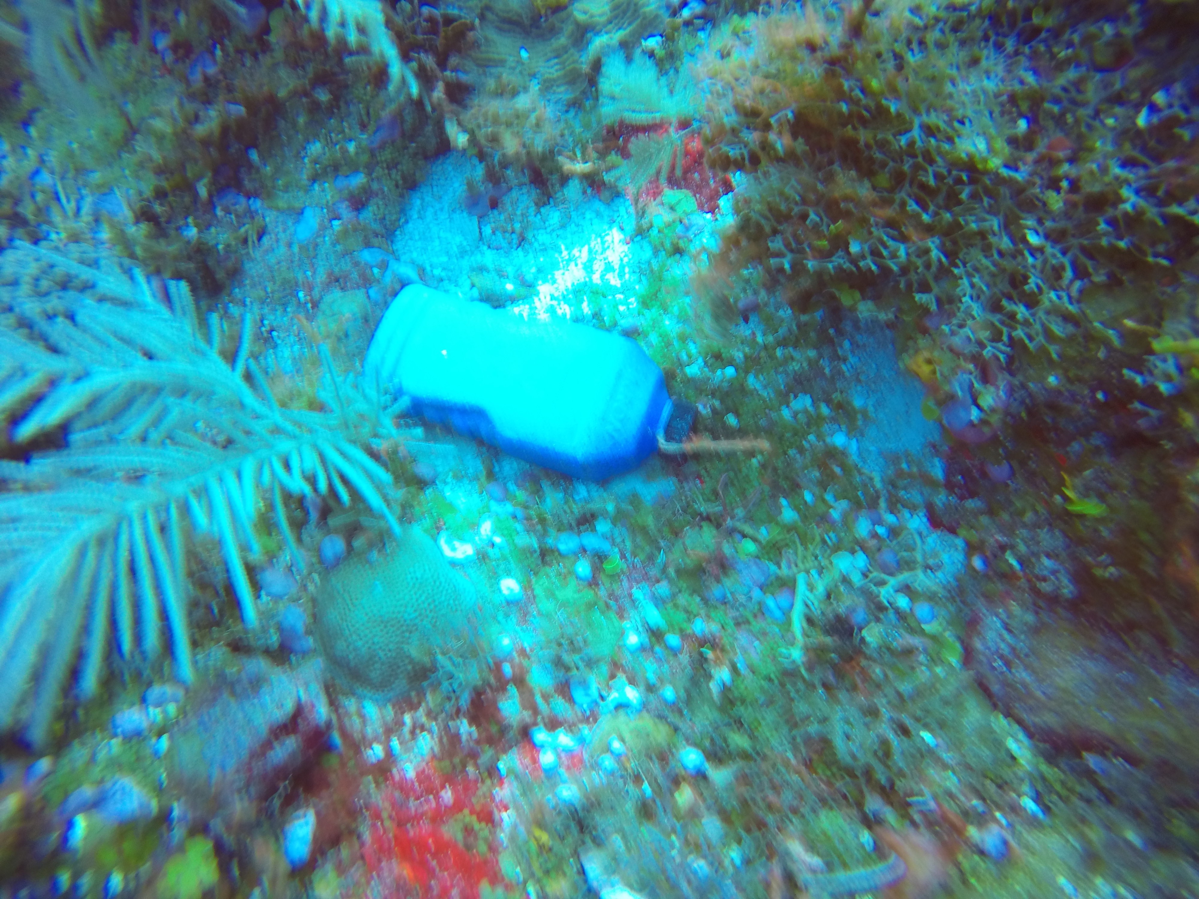
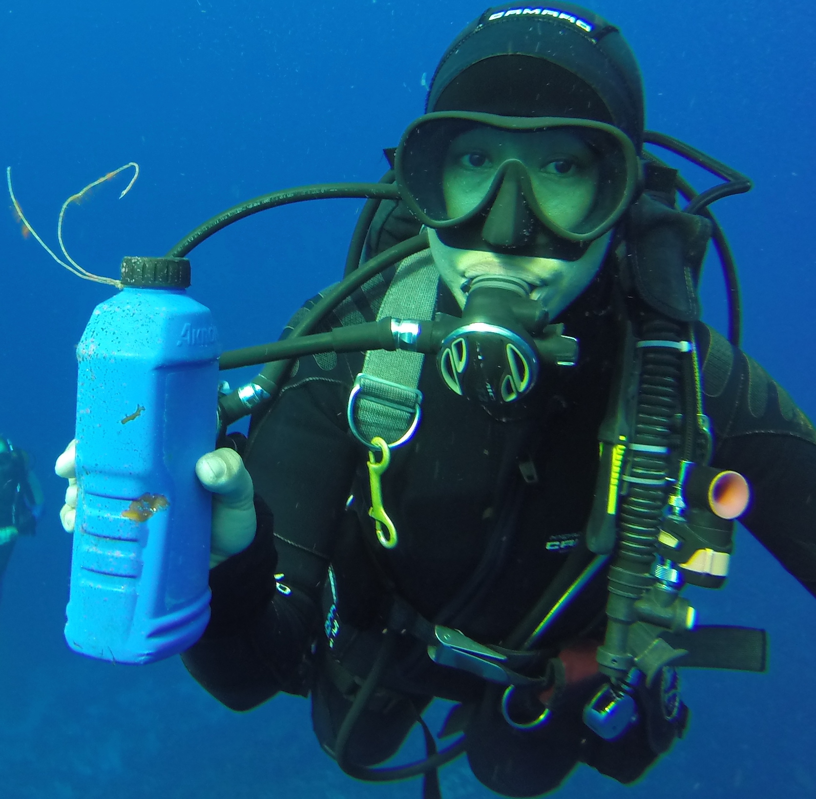
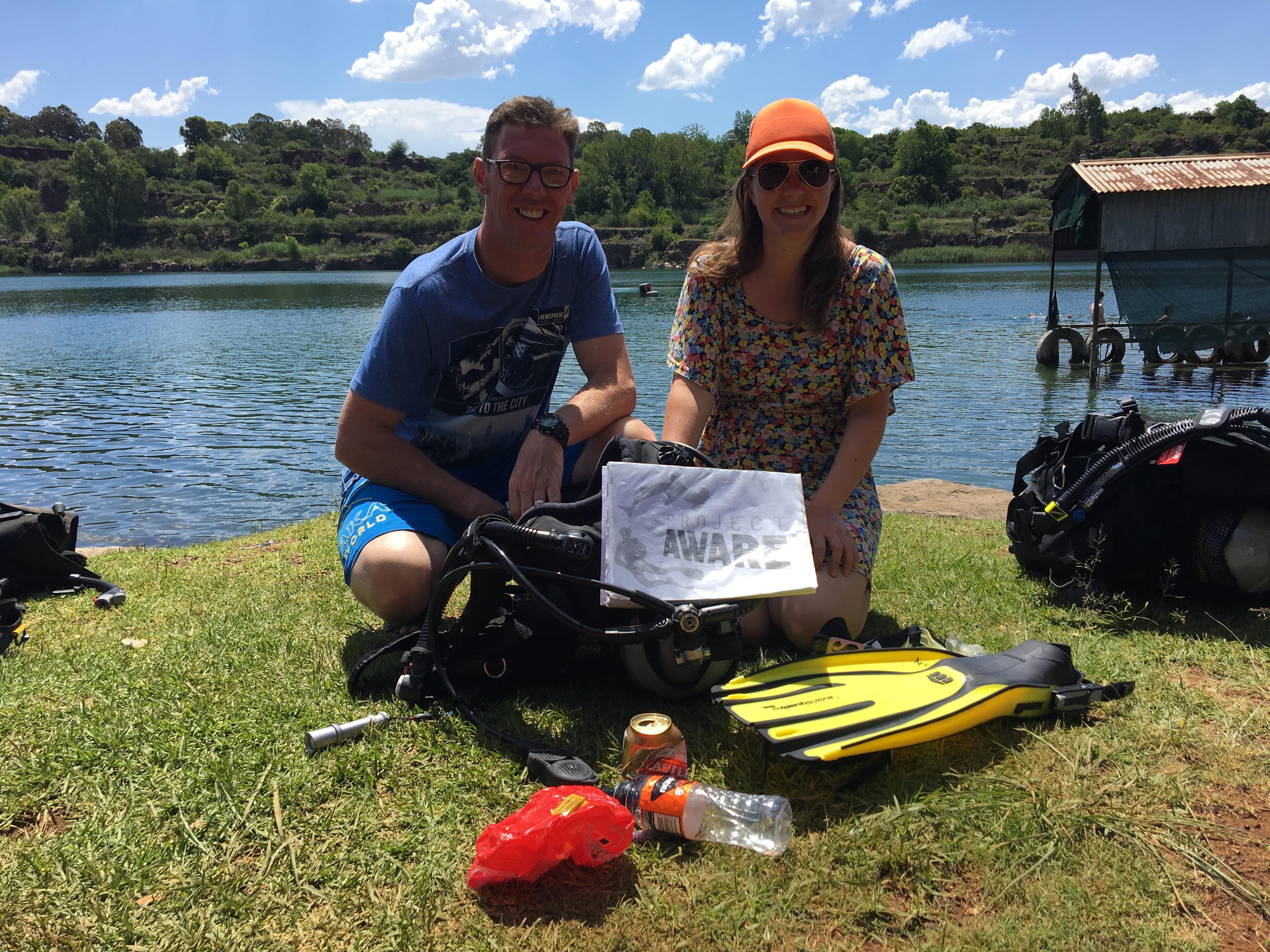
Plastic Material
Rubber
Glass
Paper
Metal
Rubber
Glass
Paper
Metal
Good
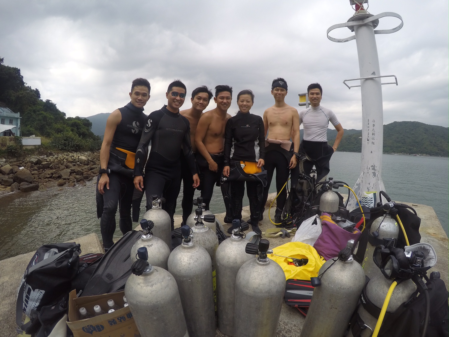
Lanzarote Non Stop Divers
Carlos Campaña
12
200.00
95
12.00
1.00
estimated
501.00
Plastic
Paper
On
kilograms
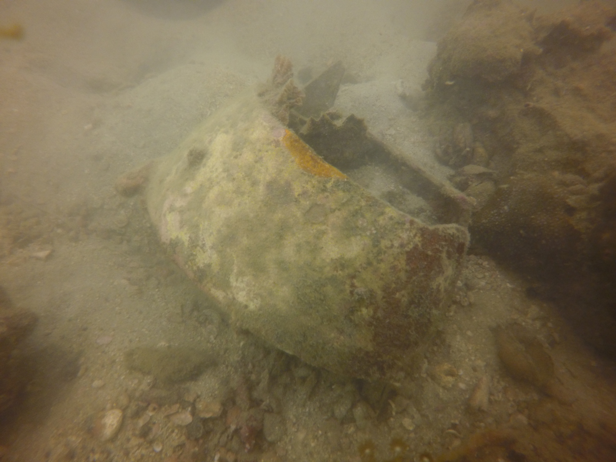
Our Survey Site was free of debris
Calm (glassy to rippled) for waves 0 – 0.1 meter high
m2
meters
rocky reef
State\Province
Lanzarote
City
Playa Blanca
Map Help
Dive Location
If you know your survey site coordinates, enter them manually in decimal degrees using WGS84 Map Datum. Use the minus sign for latitudes south of the equator and longitudes west of the Prime Meridian to 180 degrees.
If you do not know your survey site coordinates, click the “Map Location” tab to use the map to zoom into your survey site and drop the pin on the map to fall within your survey dive site in the water (not on land or the beach). Ensure you zoom in as much as possible to ensure data accuracy.
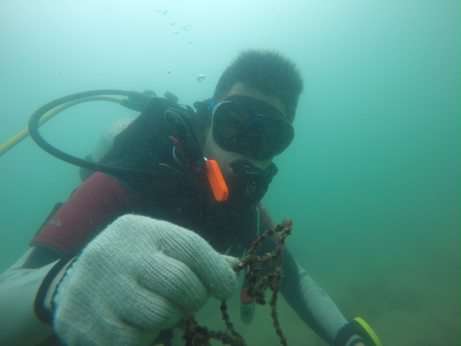
Entangled Help