ADS303 - Kastelia Bay
35.470134, 27.193667
3
Great dive spot for any level, but unfortunately some fisherman leave ghost nets and fishinglines.
Fisherman probably left the lines during winter or spring.
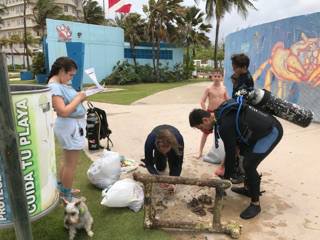
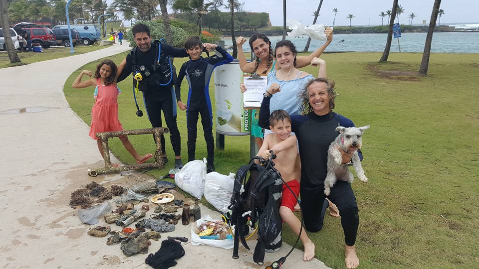
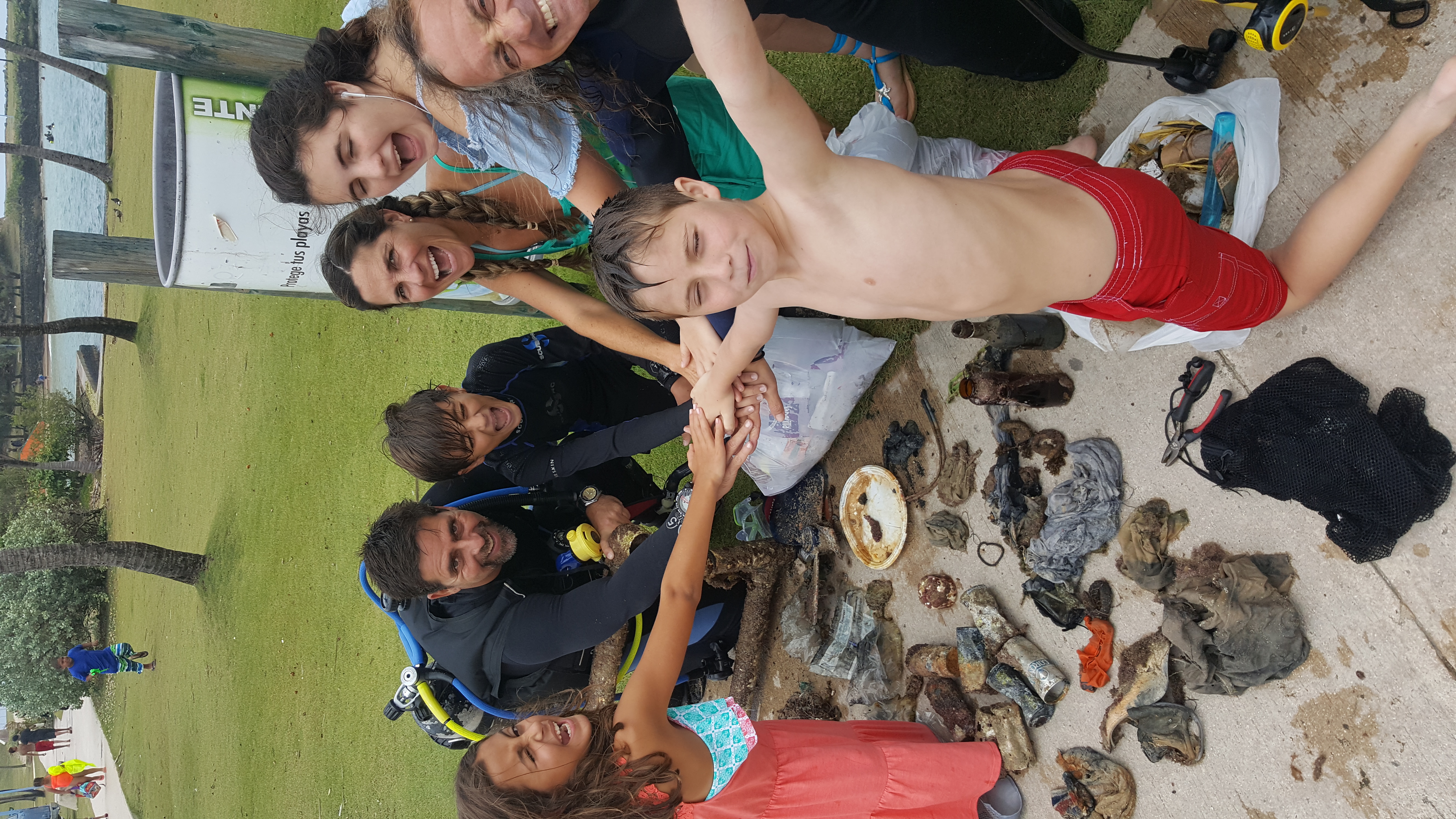
We forgot to take a picture of the debris!
Stable warm weather, no rain or mist.
Karpathos Diving Center
Renate N. Rigters
2
1.50
45
16.00
4.00
estimated
3869.00
Fishing line
On
kilograms
I have debris data to report
Calm (glassy to rippled) for waves 0 – 0.1 meter high
m2
meters
rocky reef
1
1
State\Province
Karpathos
City
Pigadia
Map Help
Dive Location
If you know your survey site coordinates, enter them manually in decimal degrees using WGS84 Map Datum. Use the minus sign for latitudes south of the equator and longitudes west of the Prime Meridian to 180 degrees.
If you do not know your survey site coordinates, click the “Map Location” tab to use the map to zoom into your survey site and drop the pin on the map to fall within your survey dive site in the water (not on land or the beach). Ensure you zoom in as much as possible to ensure data accuracy.
Entangled Help