Moderate to rough for waves greater than 1.25 meters
m2
meters
seagrass
1
1
1
Malta
State\Province
Gozo
City
Marsalforn
Map Help
Dive Location
If you know your survey site coordinates, enter them manually in decimal degrees using WGS84 Map Datum. Use the minus sign for latitudes south of the equator and longitudes west of the Prime Meridian to 180 degrees.
If you do not know your survey site coordinates, click the “Map Location” tab to use the map to zoom into your survey site and drop the pin on the map to fall within your survey dive site in the water (not on land or the beach). Ensure you zoom in as much as possible to ensure data accuracy.
Entangled Help
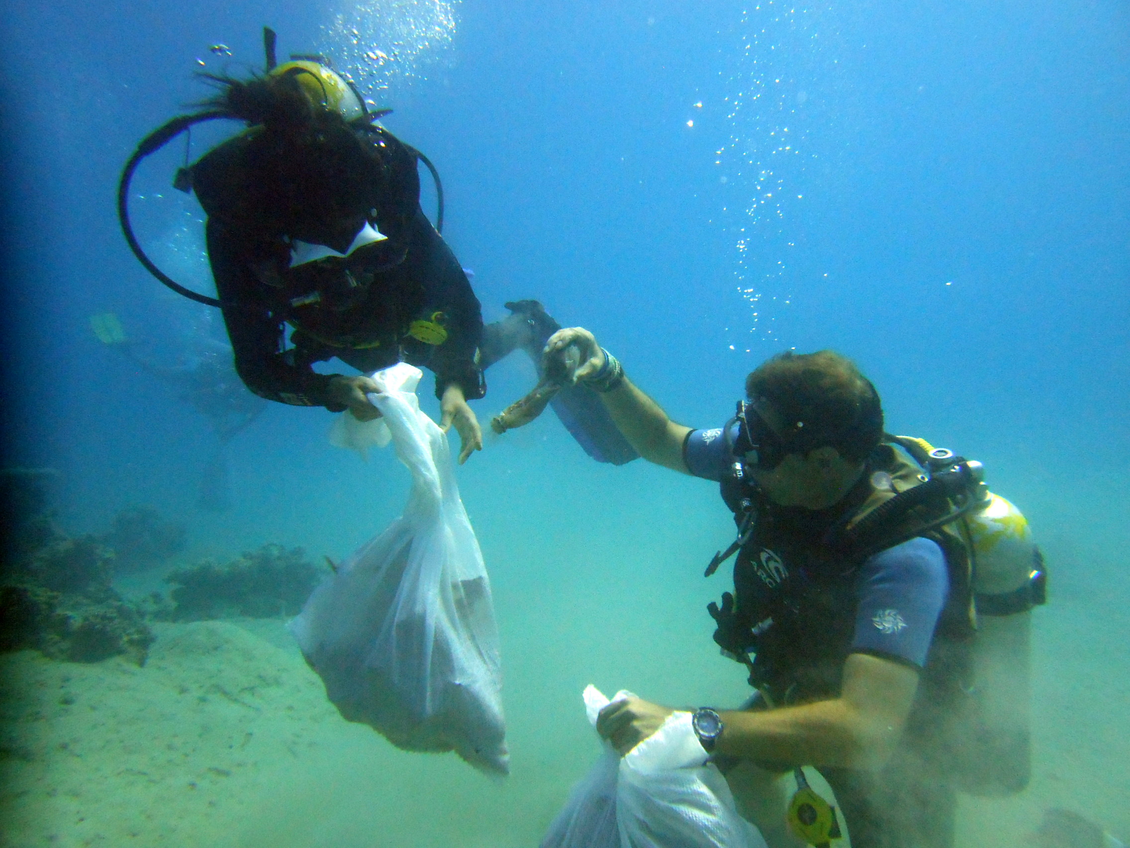
Use the vertical tabs below to record any entangled animals you found of each type.
boat staff dumping anything they do not need over the side into the sea.
this is a really worthwhile speciality course to teach and clients really enjoy making a difference to the environment where we dive.
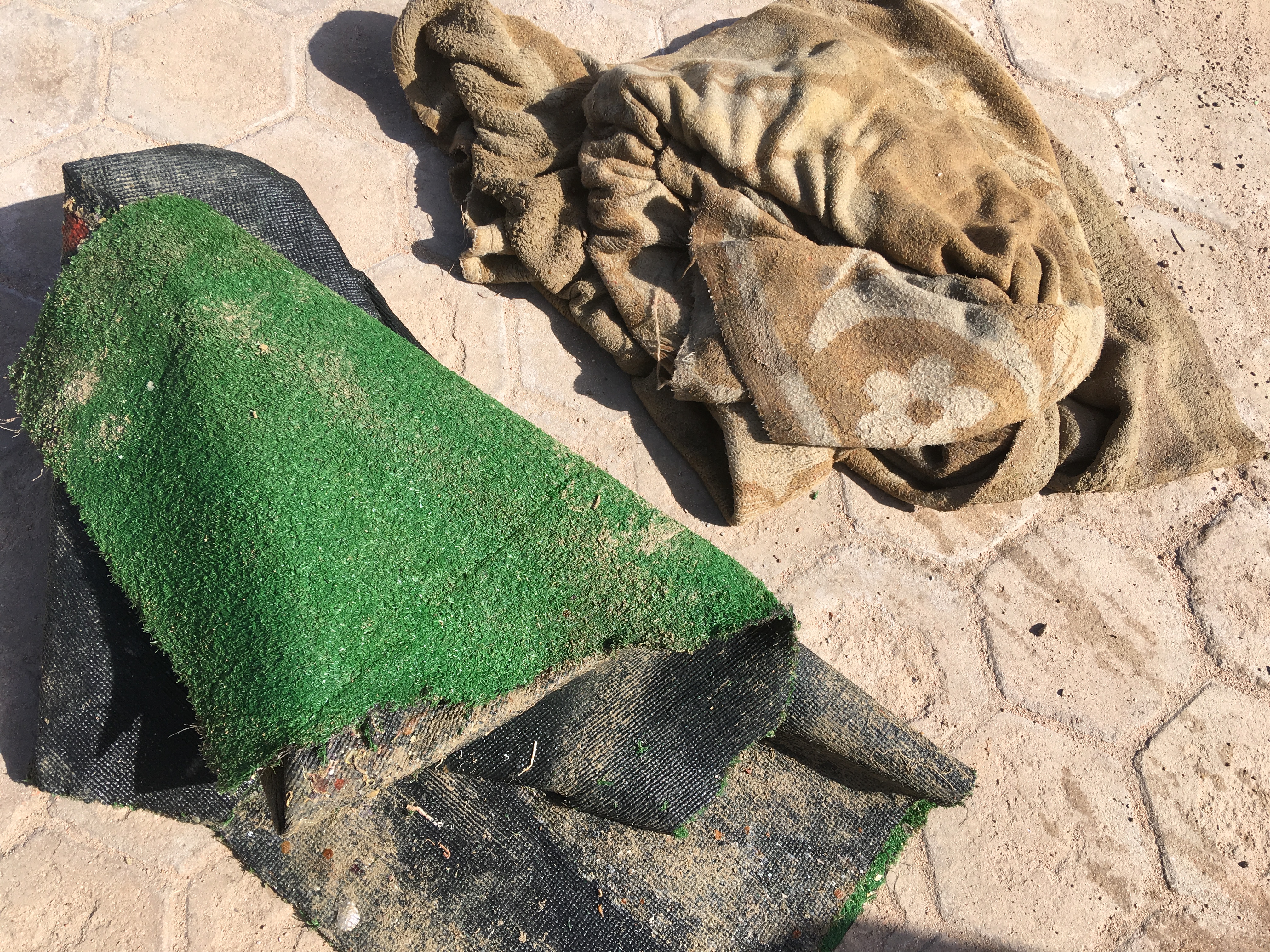
carpets
good conditions, light swell only in Namma Bay on occasion, mostly calm seas. Hot and sunny. Air temp 39, water temp 26
Anthias Divers
Andrew Mackenzie
1
1
2
5
16
1
0
32.00
47
14.00
9.00
8
estimated
120.00
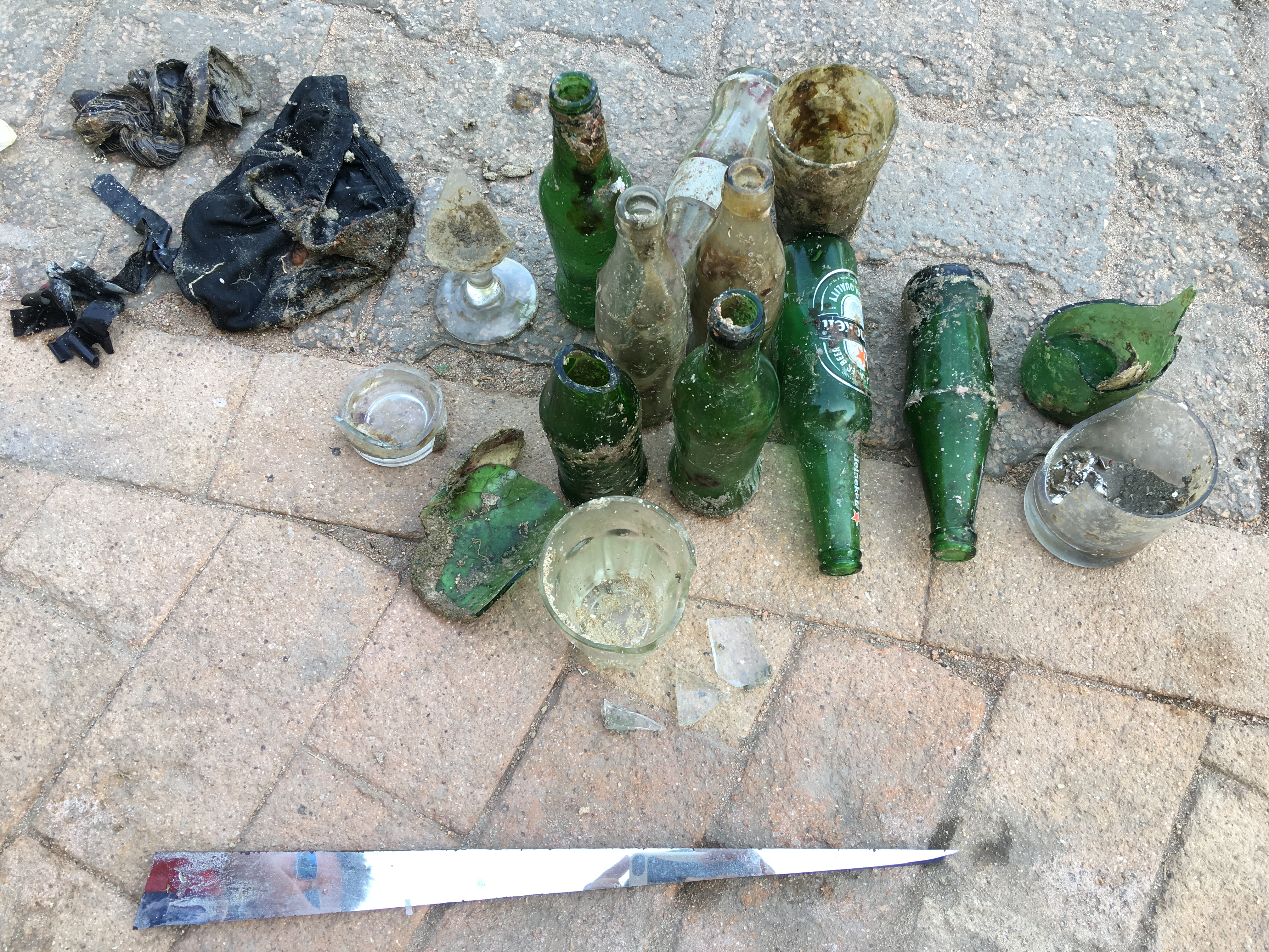
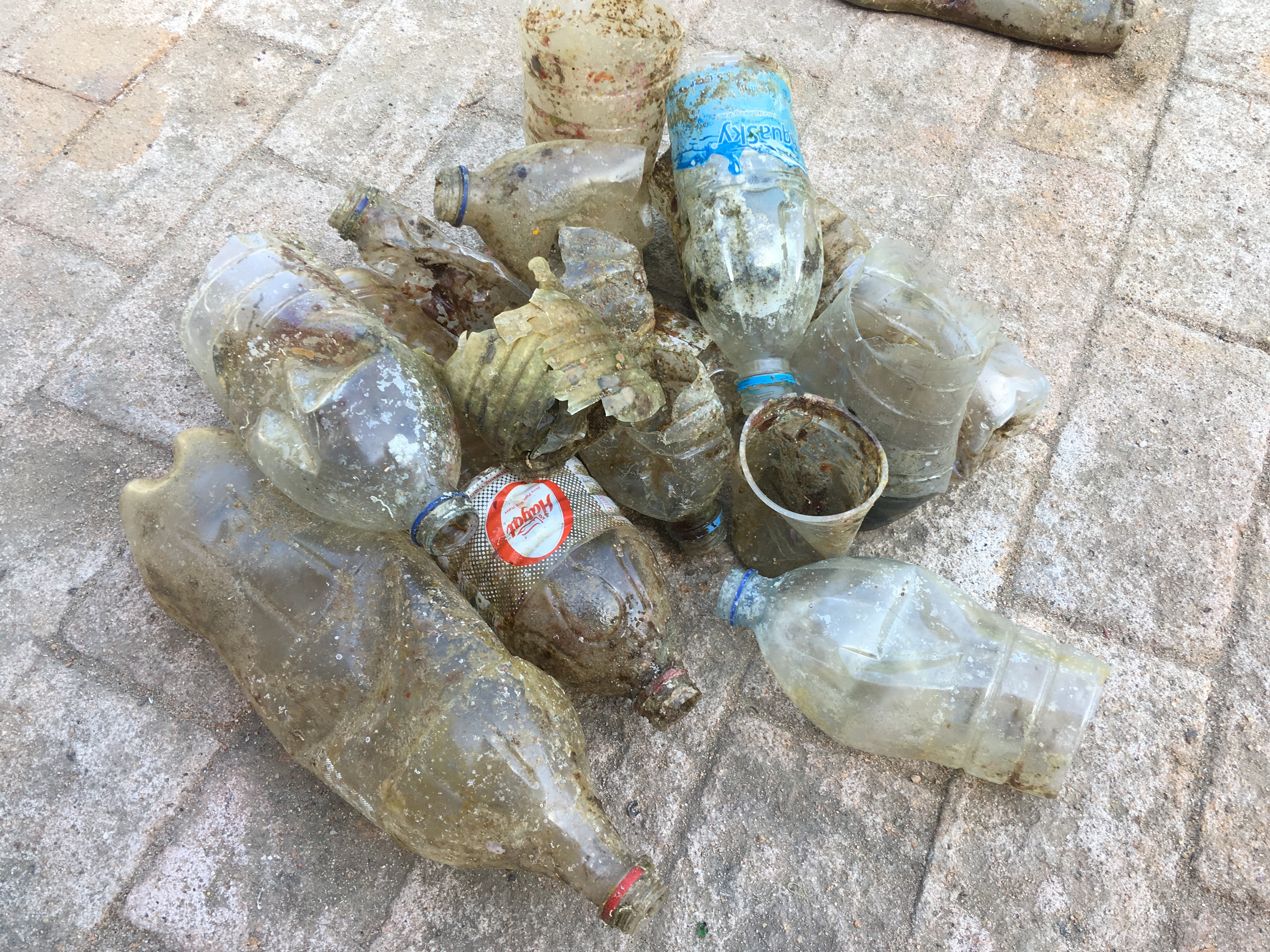
carpets, as they can cover a lot of reef and suffocate corals
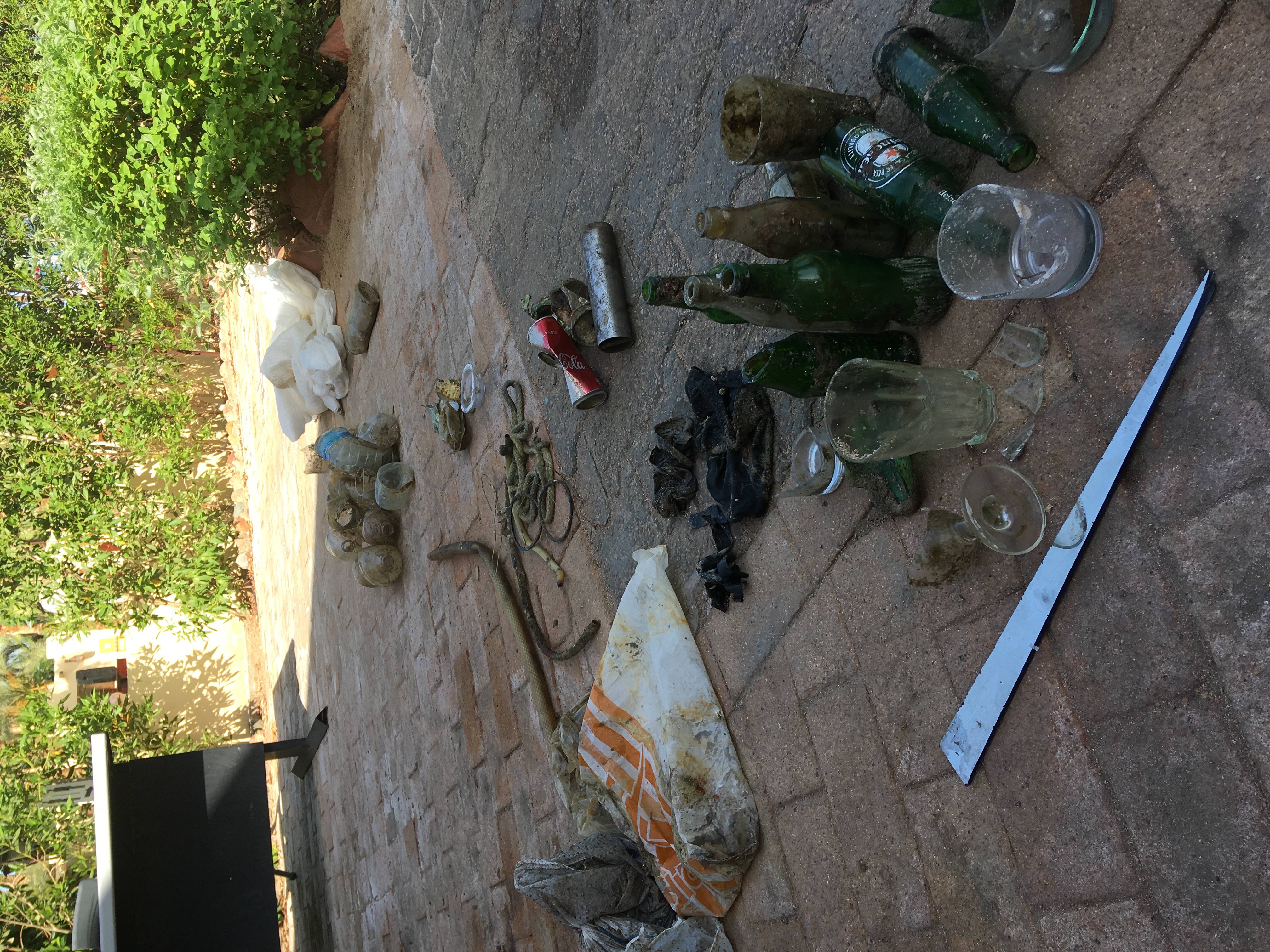
glass cups as were sharp so therefore pose risk to injury
aluminium cans, they can be half buried with sharp edges that can injure
2
On
kilograms
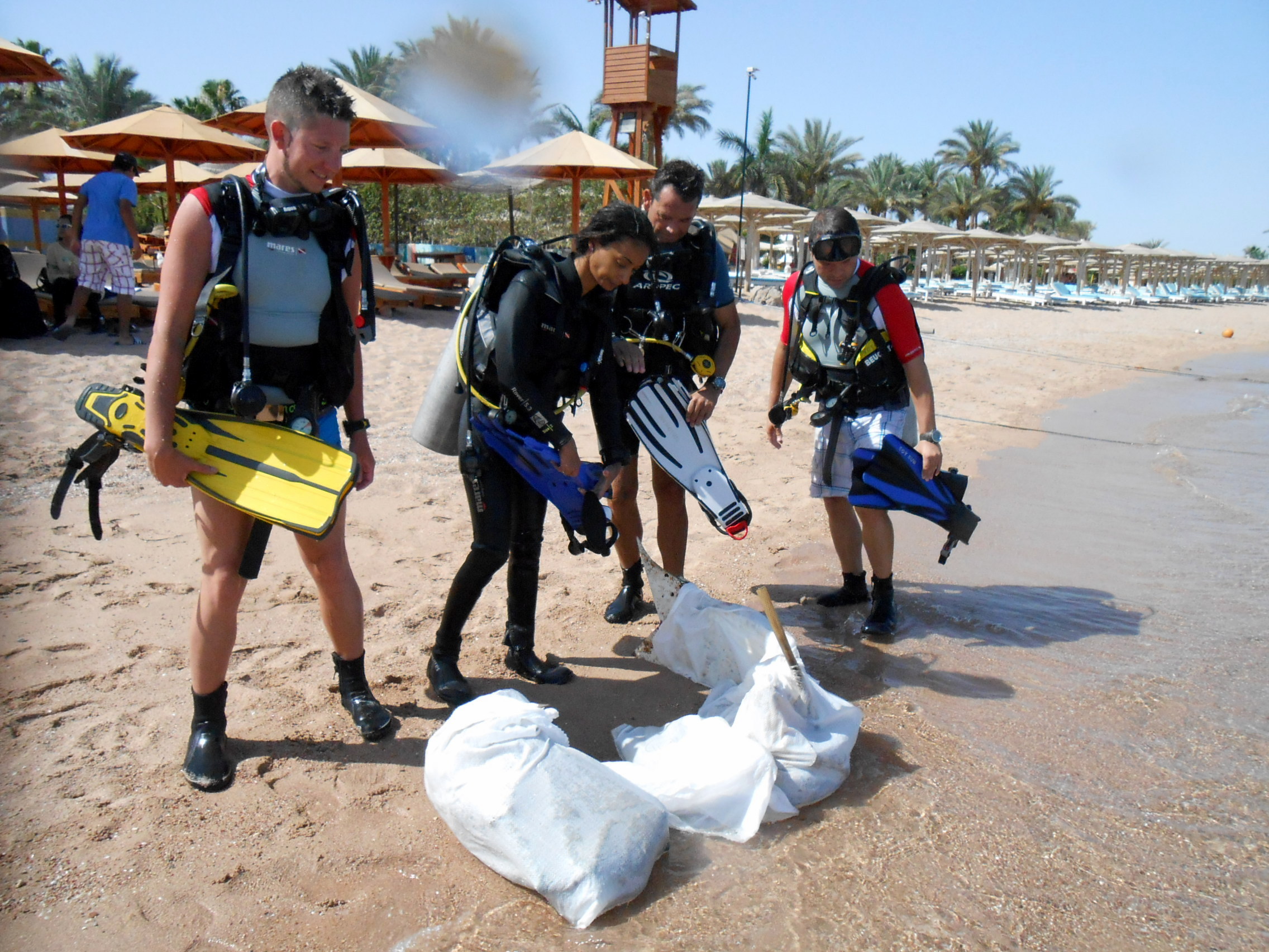
I have debris data to report
8
Smooth (wavelets) for waves 0.1 - 0.5 meter high
m2
2
meters
coral reef
1
1
2
3
6
6
Egypt
State\Province
South Sinai
City
Sharm el Sheikh
Map Help
Dive Location
If you know your survey site coordinates, enter them manually in decimal degrees using WGS84 Map Datum. Use the minus sign for latitudes south of the equator and longitudes west of the Prime Meridian to 180 degrees.
If you do not know your survey site coordinates, click the “Map Location” tab to use the map to zoom into your survey site and drop the pin on the map to fall within your survey dive site in the water (not on land or the beach). Ensure you zoom in as much as possible to ensure data accuracy.
Entangled Help
Use the vertical tabs below to record any entangled animals you found of each type.
WIndy for the last 4 days, full moon that same day
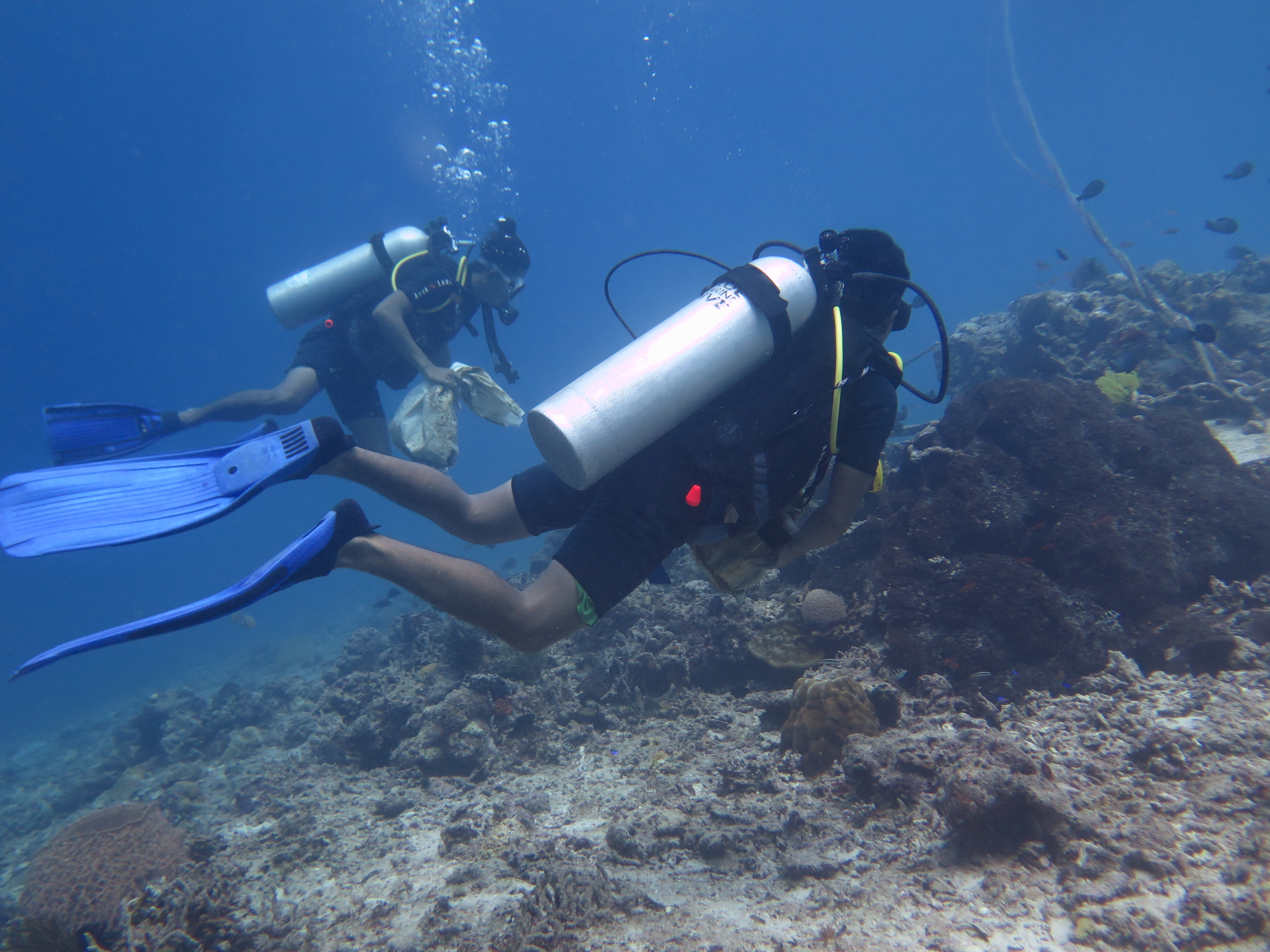
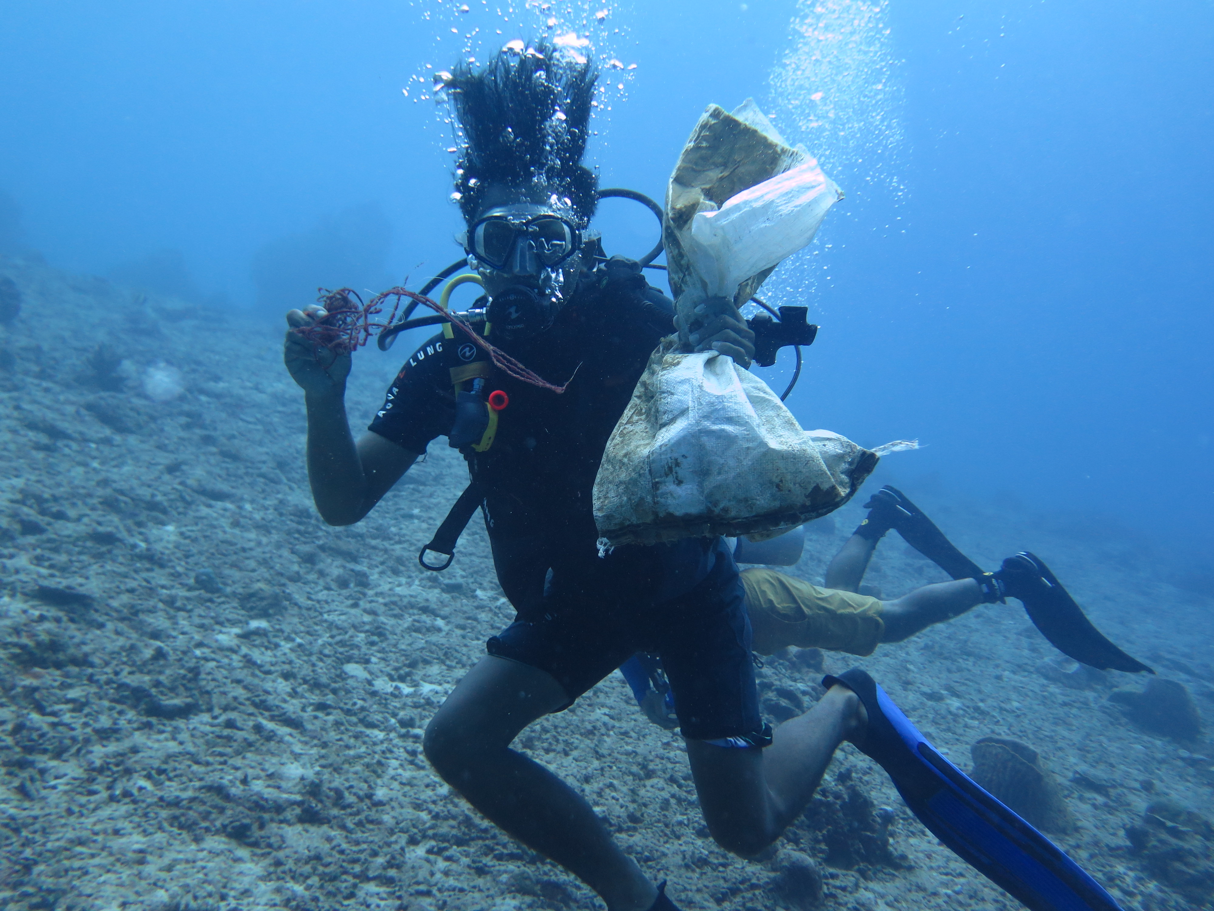
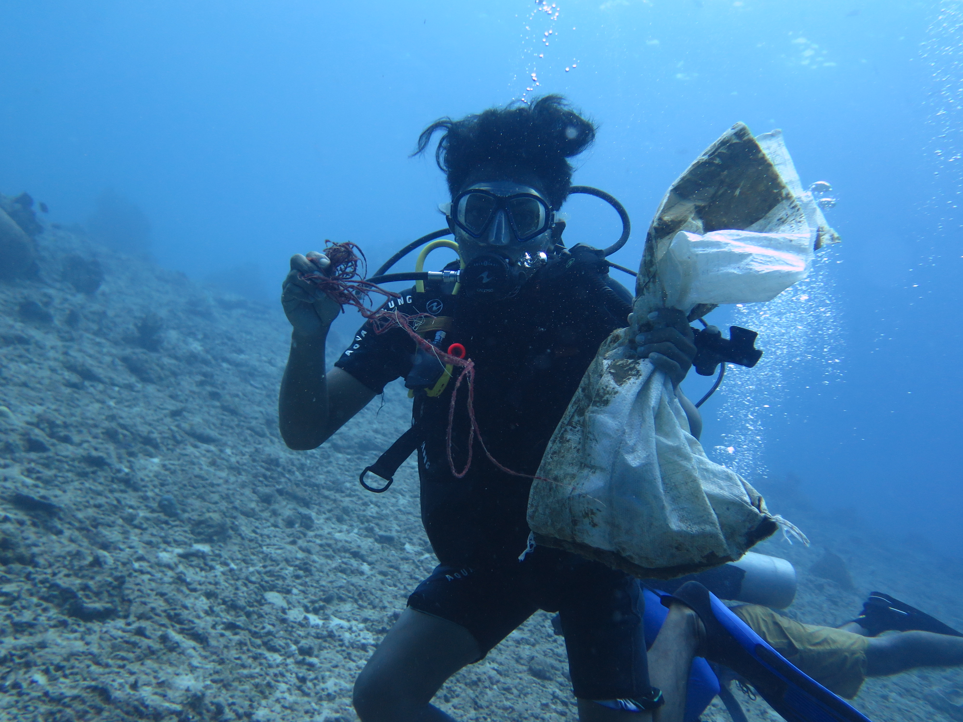
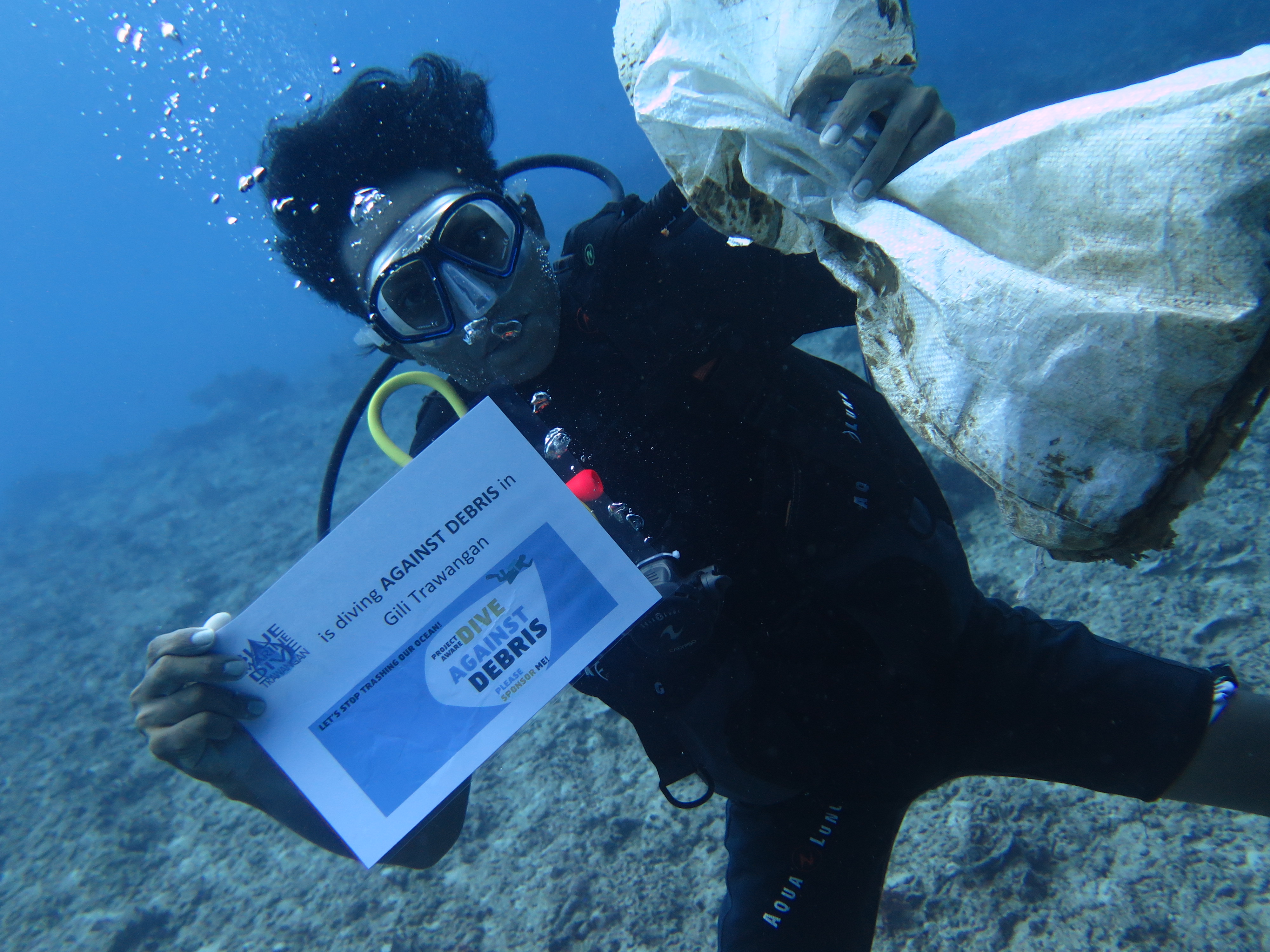
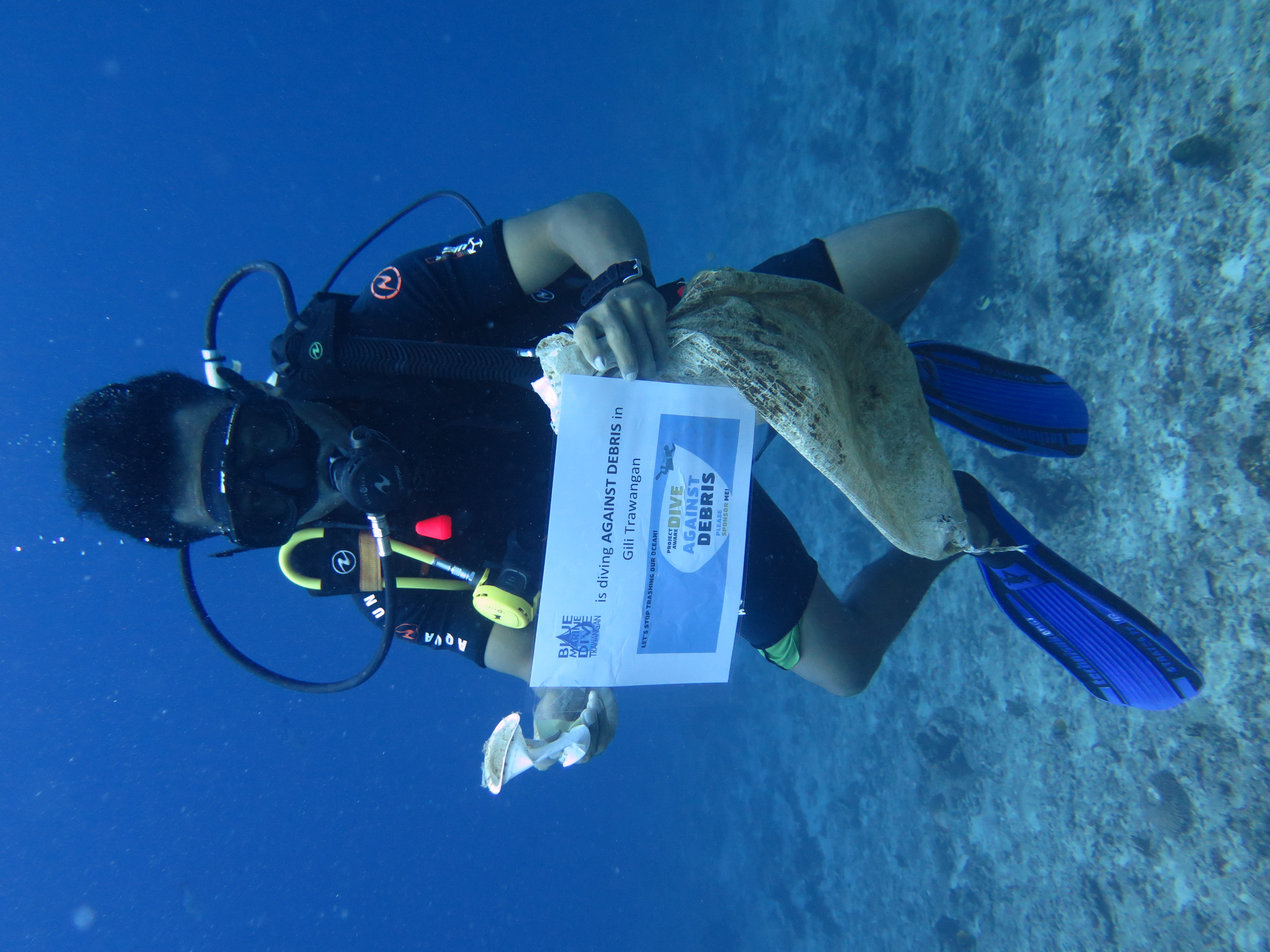
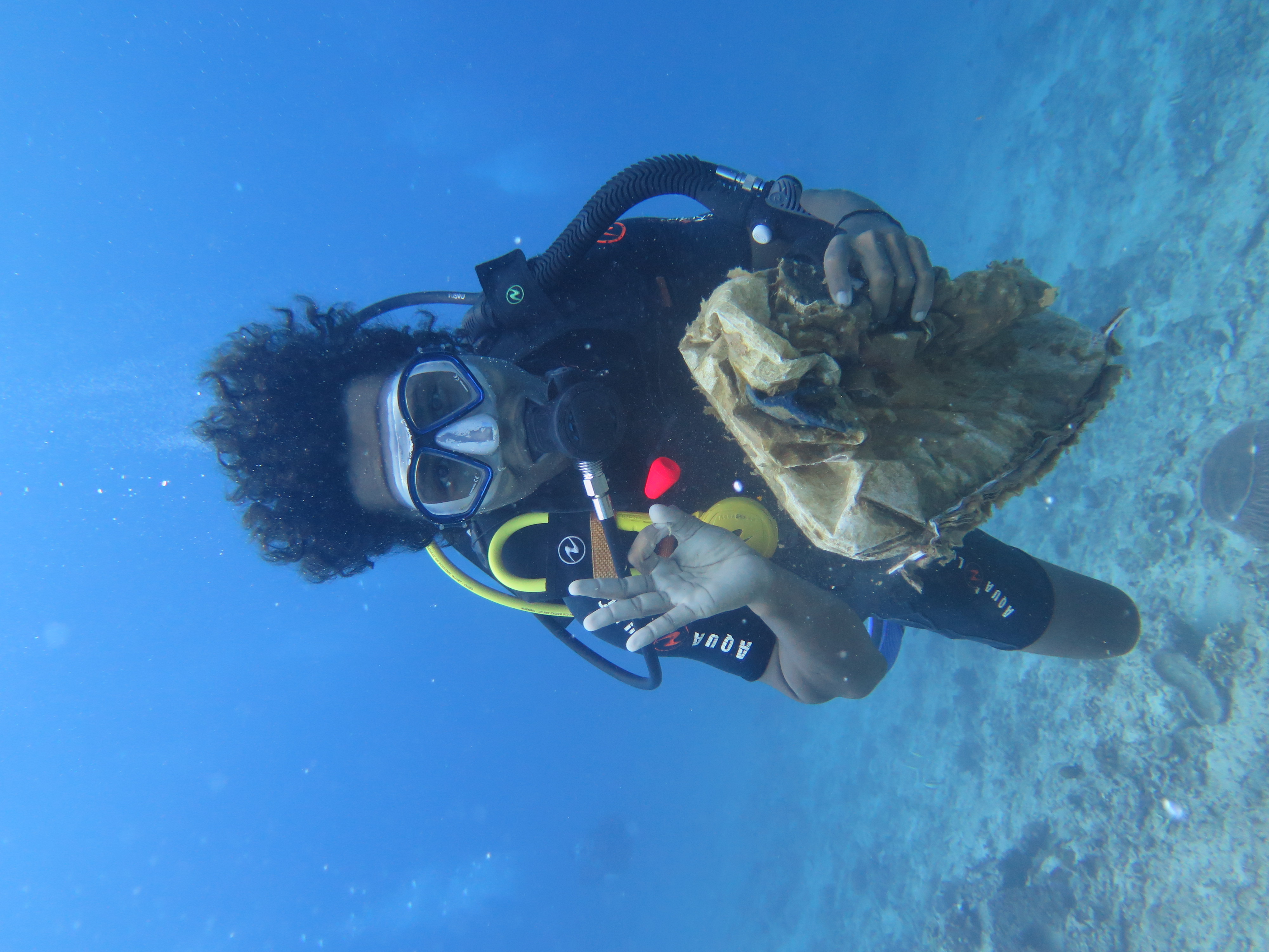
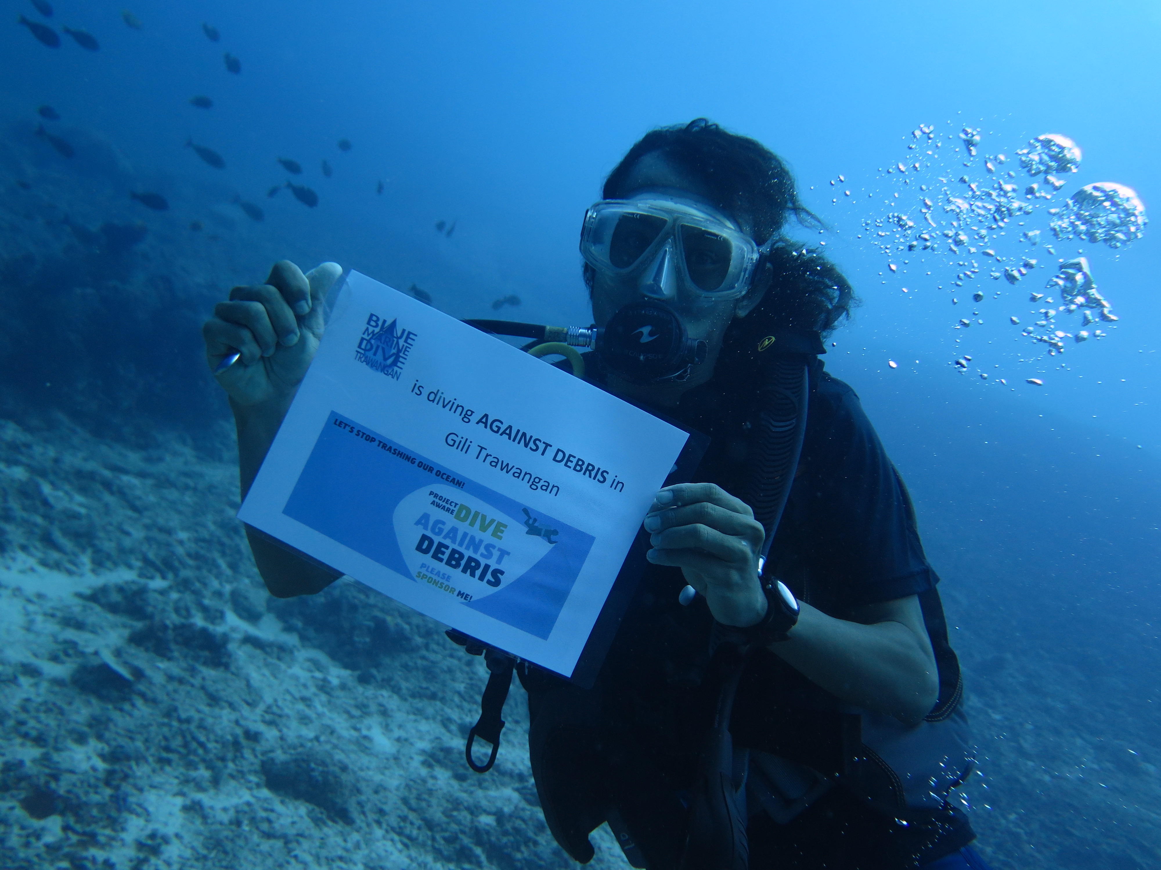
Blue Marine DIve Trawangan
Walter
3
20
1
12
15
15
10
10.00
40
20.00
6.00
estimated
1000.00
On
kilograms
I have debris data to report
Moderate to rough for waves greater than 1.25 meters
3
2
2
m2
meters
coral reef
1
1
3
10
2
Indonesia
Map Help
Dive Location
If you know your survey site coordinates, enter them manually in decimal degrees using WGS84 Map Datum. Use the minus sign for latitudes south of the equator and longitudes west of the Prime Meridian to 180 degrees.
If you do not know your survey site coordinates, click the “Map Location” tab to use the map to zoom into your survey site and drop the pin on the map to fall within your survey dive site in the water (not on land or the beach). Ensure you zoom in as much as possible to ensure data accuracy.
Entangled Help
Use the vertical tabs below to record any entangled animals you found of each type.