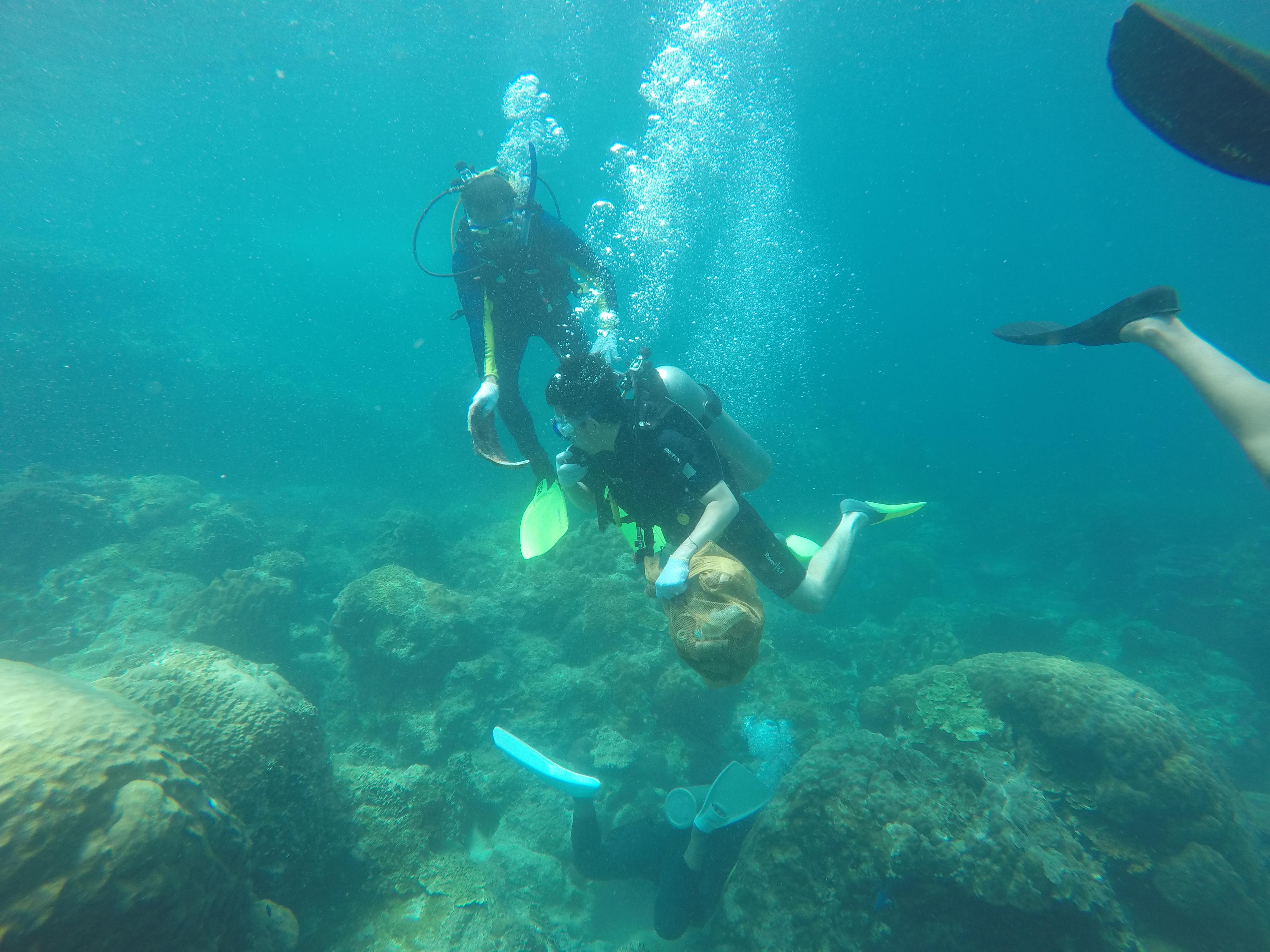
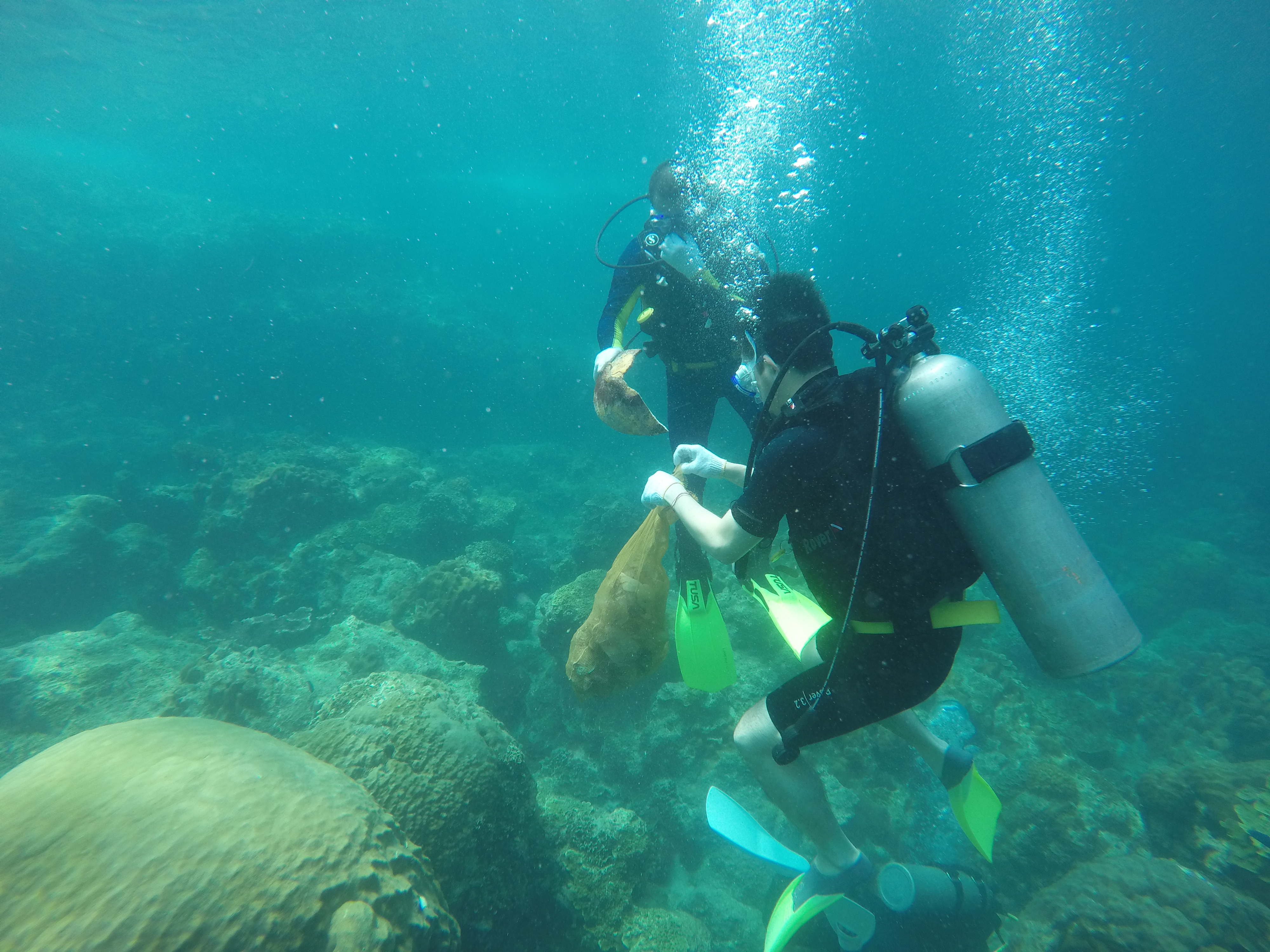
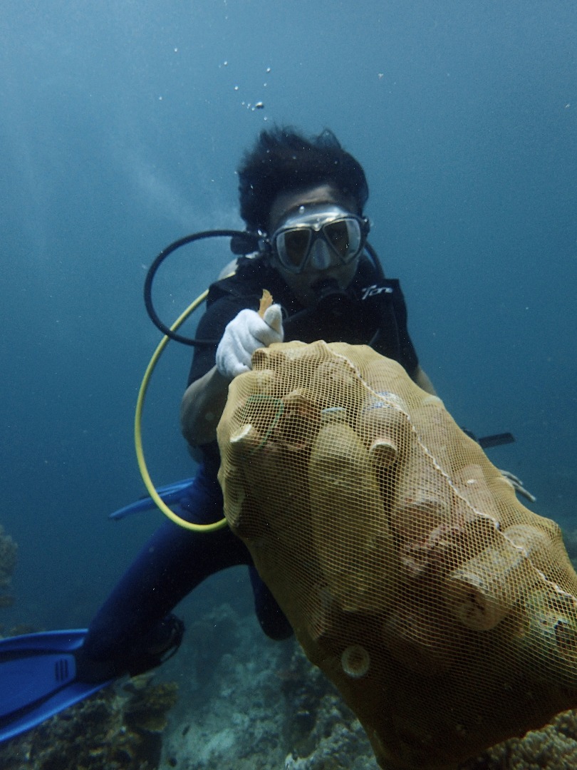
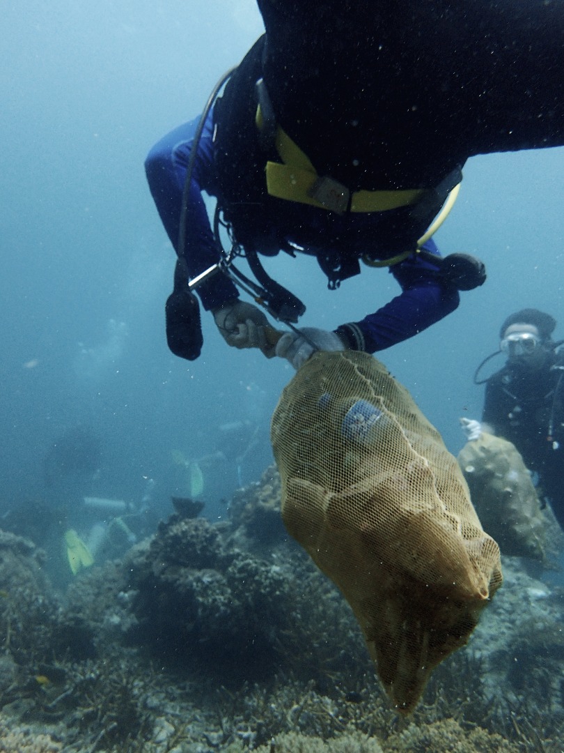
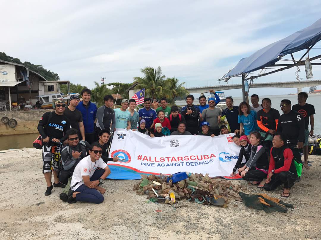
ADS334 - Mangel Halto
12.465054, -69.970241
2
recreational boattraffic. having parties on boats.
Maandverband.
No wind, no waves, bad visibility. Perfect weather for a boat trip.
Happy Divers Aruba
Lisa de Jong
2
7
2
7
15.00
47
18.00
8.00
2
estimated
2681.70
1
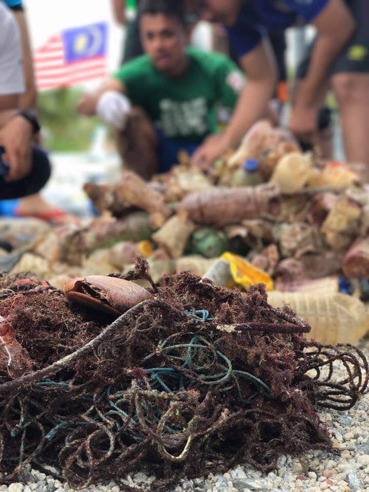
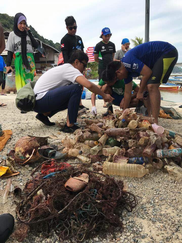
Beerbottles
Beercans
Plastic cups
On
kilograms
I have debris data to report
6
Calm (glassy to rippled) for waves 0 – 0.1 meter high
m2


meters
mangroves
1
2
2
11
State\Province
Noord
City
Noord
Map Help
Dive Location
If you know your survey site coordinates, enter them manually in decimal degrees using WGS84 Map Datum. Use the minus sign for latitudes south of the equator and longitudes west of the Prime Meridian to 180 degrees.
If you do not know your survey site coordinates, click the “Map Location” tab to use the map to zoom into your survey site and drop the pin on the map to fall within your survey dive site in the water (not on land or the beach). Ensure you zoom in as much as possible to ensure data accuracy.
Entangled Help