ADS317 - Abades
3
sand
1
8
28.1428049, -16.439589
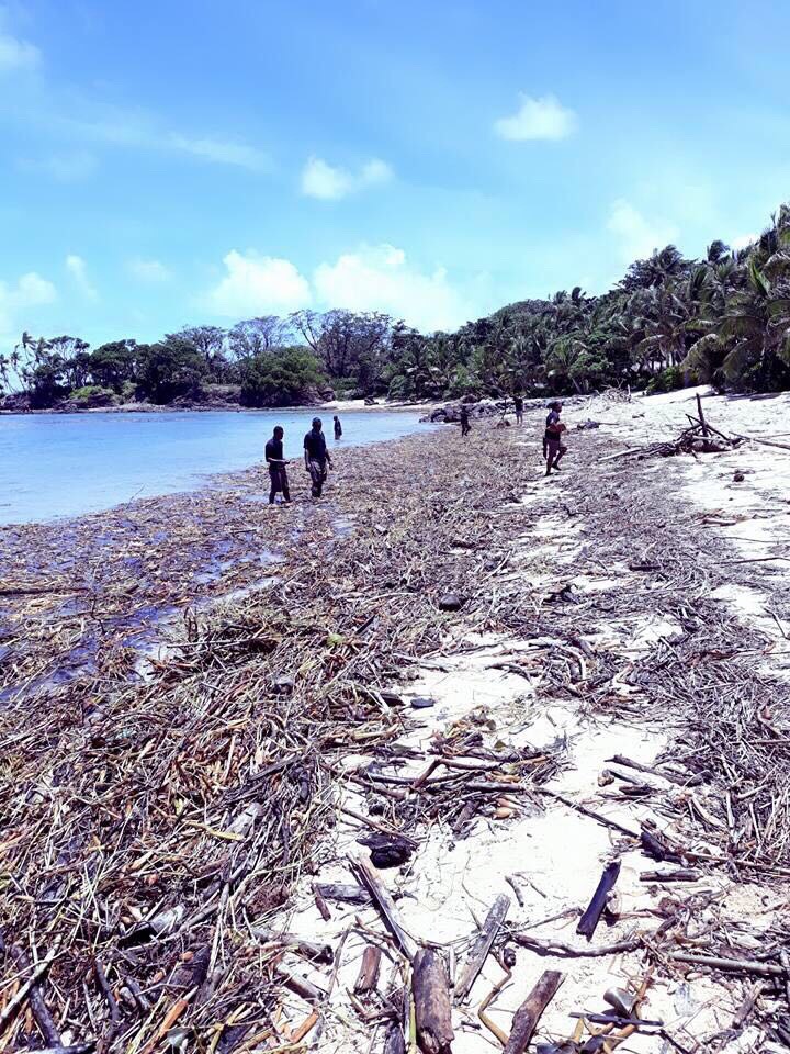
Very high winds the week previous and a party on the beach the day before
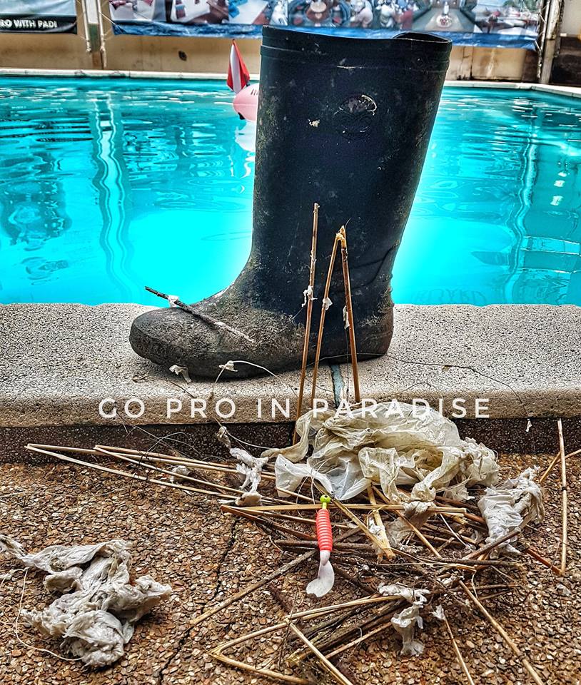
we helped untangle a green sea turtle that had fishing line wrapped around its beak.
It actually came up to us for help!
We released it uninjured
It actually came up to us for help!
We released it uninjured
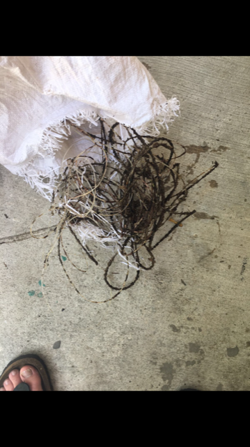
big lump of unidentifiable metal
Extreme winds
Excel Scuba Tenerife
Michelle
5
2
1
5
3
4
2.83
55
8.00
1.40
measured
30.00
beer cans
fishing lines
glass
On
kilograms
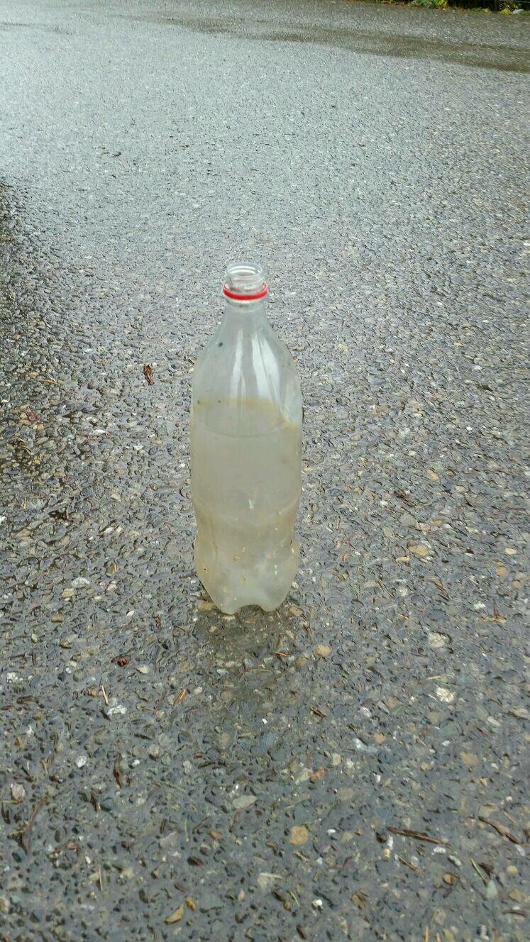
I have debris data to report
2
Slight for waves 0.5 -1.25 meter high
m2

meters
rocky reef
1
23
fishing line
Released Unharmed
Green turtle
State\Province
Tenerife
City
Playa de Las Americas
Map Help
Dive Location
If you know your survey site coordinates, enter them manually in decimal degrees using WGS84 Map Datum. Use the minus sign for latitudes south of the equator and longitudes west of the Prime Meridian to 180 degrees.
If you do not know your survey site coordinates, click the “Map Location” tab to use the map to zoom into your survey site and drop the pin on the map to fall within your survey dive site in the water (not on land or the beach). Ensure you zoom in as much as possible to ensure data accuracy.
Entangled Help