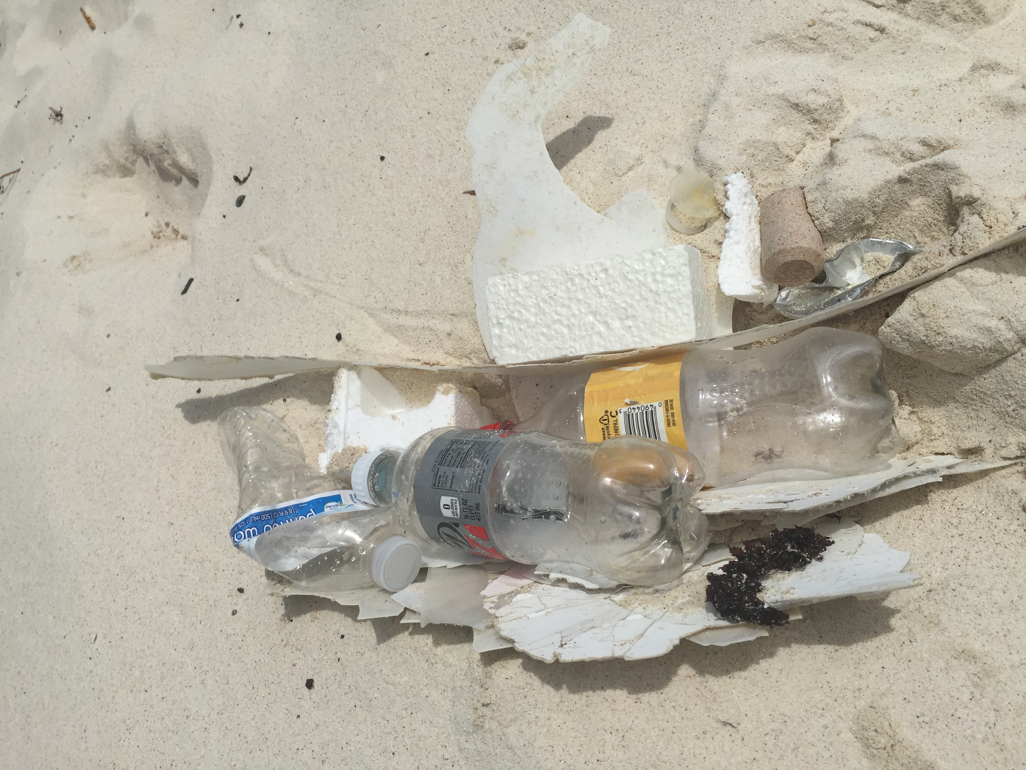
If you know your survey site coordinates, enter them manually in decimal degrees using WGS84 Map Datum. Use the minus sign for latitudes south of the equator and longitudes west of the Prime Meridian to 180 degrees.
If you do not know your survey site coordinates, click the “Map Location” tab to use the map to zoom into your survey site and drop the pin on the map to fall within your survey dive site in the water (not on land or the beach). Ensure you zoom in as much as possible to ensure data accuracy.
Entangled Help
Use the vertical tabs below to record any entangled animals you found of each type.
Smooth (wavelets) for waves 0.1 - 0.5 meter high
m2
meters
kelp
Language
English
Norway
Map Help
Dive Location
If you know your survey site coordinates, enter them manually in decimal degrees using WGS84 Map Datum. Use the minus sign for latitudes south of the equator and longitudes west of the Prime Meridian to 180 degrees.
If you do not know your survey site coordinates, click the “Map Location” tab to use the map to zoom into your survey site and drop the pin on the map to fall within your survey dive site in the water (not on land or the beach). Ensure you zoom in as much as possible to ensure data accuracy.
Entangled Help
Use the vertical tabs below to record any entangled animals you found of each type.
Stuck in fishing lines, did not get them all of, some still around 2 legs, but at least free...
Saltstraumen DykkeCamp
Fredric Ihrsen
1
0.90
65
27.00
7.00
measured
10
5000.00
On
kilograms
I have debris data to report
Slight for waves 0.5 -1.25 meter high
Cancer Pagurus
1
Injured
Crab
m2
meters
kelp
Language
English
Norway
Map Help
Dive Location
If you know your survey site coordinates, enter them manually in decimal degrees using WGS84 Map Datum. Use the minus sign for latitudes south of the equator and longitudes west of the Prime Meridian to 180 degrees.
If you do not know your survey site coordinates, click the “Map Location” tab to use the map to zoom into your survey site and drop the pin on the map to fall within your survey dive site in the water (not on land or the beach). Ensure you zoom in as much as possible to ensure data accuracy.
Entangled Help
Use the vertical tabs below to record any entangled animals you found of each type.
This dive site requires multiple cleanups to remove a great deal of plastic debris from the area.
Currents bringing debris and local littering from nearby park
Calm seas with 10-15 MPH Winds
Yokosuka Bubble Club
Phillip Lee
0
0
0
0
0
0
0
0
0
0
0
0
0
0
0
0
0
2
2
1
2
2
0
0
0
0
0
0
0
6.00
40
15.00
5.00
0
estimated
0
0
700.00
Plastic snack wrappers
Plastic grocery bags
On
pounds
I have debris data to report
Smooth (wavelets) for waves 0.1 - 0.5 meter high
ft2
feet
rocky reef
Language
English
Japan
State\Province
Kanagawa
City
Yokosuka
Map Help
Dive Location
If you know your survey site coordinates, enter them manually in decimal degrees using WGS84 Map Datum. Use the minus sign for latitudes south of the equator and longitudes west of the Prime Meridian to 180 degrees.
If you do not know your survey site coordinates, click the “Map Location” tab to use the map to zoom into your survey site and drop the pin on the map to fall within your survey dive site in the water (not on land or the beach). Ensure you zoom in as much as possible to ensure data accuracy.
Entangled Help
Use the vertical tabs below to record any entangled animals you found of each type.
Smooth (wavelets) for waves 0.1 - 0.5 meter high
m2
meters
kelp
1
Language
English
Norway
Map Help
Dive Location
If you know your survey site coordinates, enter them manually in decimal degrees using WGS84 Map Datum. Use the minus sign for latitudes south of the equator and longitudes west of the Prime Meridian to 180 degrees.
If you do not know your survey site coordinates, click the “Map Location” tab to use the map to zoom into your survey site and drop the pin on the map to fall within your survey dive site in the water (not on land or the beach). Ensure you zoom in as much as possible to ensure data accuracy.
Entangled Help
Use the vertical tabs below to record any entangled animals you found of each type.
We have a lot of camping areas around the dive site. It is also a local swimming location, rope swing, beach area, etc. This brings in a lot of swimming and beach activity. Because of the remote and difficult access to the dive site we do not have any public waste baskets or recycling bins. We rely on users to take in and out what they bring.
We do create our own 'artificial sites' underwater. For example at this site we have created a 'Jason' figure at approximately 100 feet. In most dive sites this would be considered an item to be removed as it is debris. To us it is fantastic!
A single old tennis shoe!
Raining and warm during week. Visibility was low
Aquaventure Dive and Photo
Erik Payeur
50
1
20
50
8
20
50
10
6
30.00
25
25.00
2.00
10
estimated
15
80000.00
On
pounds
I have debris data to report
Calm (glassy to rippled) for waves 0 – 0.1 meter high
1
ft2
3
feet
other
2
2
Language
English
United States
State\Province
MN
City
Maple Grove
Map Help
Dive Location
If you know your survey site coordinates, enter them manually in decimal degrees using WGS84 Map Datum. Use the minus sign for latitudes south of the equator and longitudes west of the Prime Meridian to 180 degrees.
If you do not know your survey site coordinates, click the “Map Location” tab to use the map to zoom into your survey site and drop the pin on the map to fall within your survey dive site in the water (not on land or the beach). Ensure you zoom in as much as possible to ensure data accuracy.
Entangled Help
Use the vertical tabs below to record any entangled animals you found of each type.
Calm (glassy to rippled) for waves 0 – 0.1 meter high
0
0
0
0
0
0
0
m2
0
0
meters
rocky reef
0
0
0
0
0
1
0
0
0
0
0
0
0
0
0
0
0
2
0
0
0
0
0
0
2
0
0
0
0
Language
English
Malta
State\Province
Gozo
City
Munxar
Map Help
Dive Location
If you know your survey site coordinates, enter them manually in decimal degrees using WGS84 Map Datum. Use the minus sign for latitudes south of the equator and longitudes west of the Prime Meridian to 180 degrees.
If you do not know your survey site coordinates, click the “Map Location” tab to use the map to zoom into your survey site and drop the pin on the map to fall within your survey dive site in the water (not on land or the beach). Ensure you zoom in as much as possible to ensure data accuracy.
Entangled Help
Use the vertical tabs below to record any entangled animals you found of each type.
Debris falling off boats. Cups from drinkers left on the beach being blown out to sea or high tide taking it out....
We did shore dives to clean up under where most of the overnight boat moorings and next to the coral reef. It is also a laden bar area. We spoke to the owners of several bars about how they can save money and the oceans by stopping straws!!
Anchor to a small boat....
high 80's and sunny
Dive Georgia
Brian D Rickman
27
4
1
1
63
1
1
1
2
1
2
1
2
1
1
1
23.00
65
50.00
10.00
2
estimated
1
5000.00
Straws
Plastic drink cups
On
pounds
I have debris data to report
2
1
Smooth (wavelets) for waves 0.1 - 0.5 meter high
ft2
4
2
feet
coral reef
1
2
1
2
2
7
1
Language
English
United States
State\Province
GA
City
Woodstock
Map Help
Dive Location
If you know your survey site coordinates, enter them manually in decimal degrees using WGS84 Map Datum. Use the minus sign for latitudes south of the equator and longitudes west of the Prime Meridian to 180 degrees.
If you do not know your survey site coordinates, click the “Map Location” tab to use the map to zoom into your survey site and drop the pin on the map to fall within your survey dive site in the water (not on land or the beach). Ensure you zoom in as much as possible to ensure data accuracy.
Entangled Help
Use the vertical tabs below to record any entangled animals you found of each type.
Carless human's missing garbage cans. Divers losing gear that is not properly attached/stowed.
Our memory card from this trip did not work.
Flip Slop with a key on it
Warm. Mid 70's with light rain
Dive Georgia
Brian D Rickman
2
3
3
1
1
12
1
4
1
9.00
420
80.00
5.00
2
estimated
1
1000.00
Drink cans and bottles
Dive gear
On
pounds
I have debris data to report
3
1
Calm (glassy to rippled) for waves 0 – 0.1 meter high
1
ft2
2
1
feet
other
1
1
1
2
Language
English
United States
State\Province
GA
City
Woodstock
Map Help
Dive Location
If you know your survey site coordinates, enter them manually in decimal degrees using WGS84 Map Datum. Use the minus sign for latitudes south of the equator and longitudes west of the Prime Meridian to 180 degrees.
If you do not know your survey site coordinates, click the “Map Location” tab to use the map to zoom into your survey site and drop the pin on the map to fall within your survey dive site in the water (not on land or the beach). Ensure you zoom in as much as possible to ensure data accuracy.
Entangled Help
Use the vertical tabs below to record any entangled animals you found of each type.