MOTUKORUENGA ISLAND_Maori Lady
2
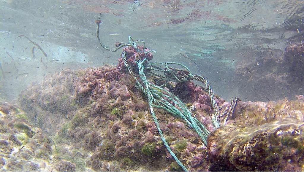
rock
3
-36.728432272224, 175.83876261785
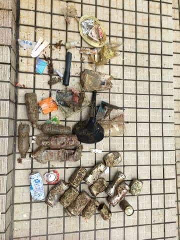
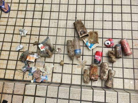
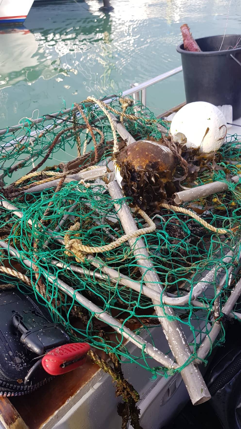
Collapsed Cray Pot
Friday 15th: Wind=W 10kts - Swell=E 1.0
Saturday 16th: Wind=NW 15kts - Swell=E 0.5
Sunday 17th: Wind=NW 10kts - Swell=E 0.5
Saturday 16th: Wind=NW 15kts - Swell=E 0.5
Sunday 17th: Wind=NW 10kts - Swell=E 0.5
Dive Zone Whitianga
Elise Norman
1
1
10
2
1
6.00
40
24.00
8.00
1
estimated
1
25.00
On
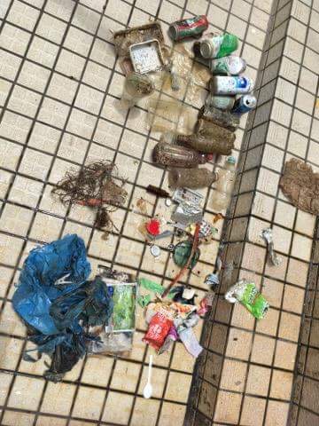
kilograms
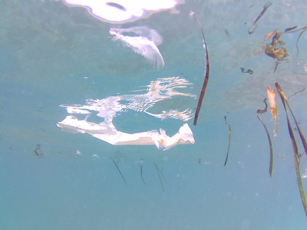
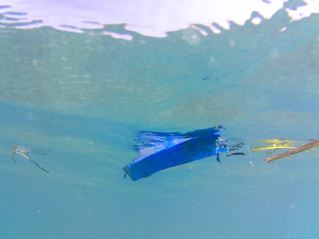
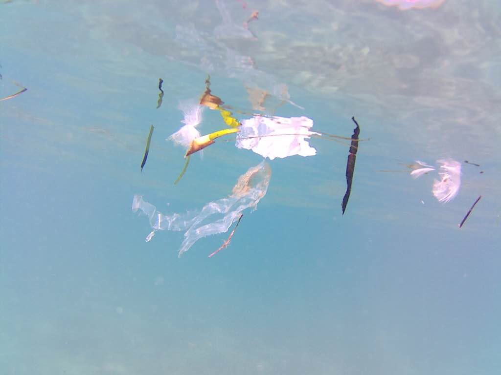
I have debris data to report
1
Smooth (wavelets) for waves 0.1 - 0.5 meter high
m2
meters
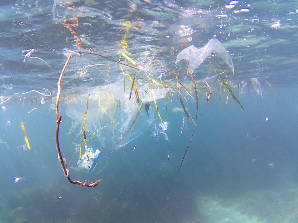
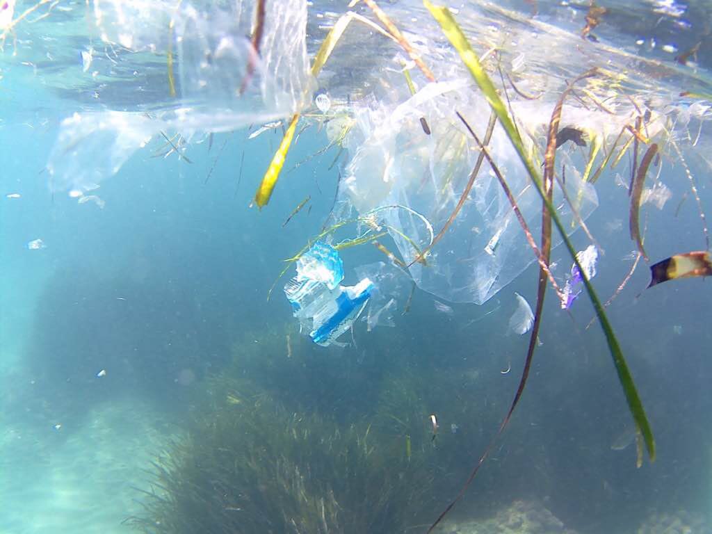
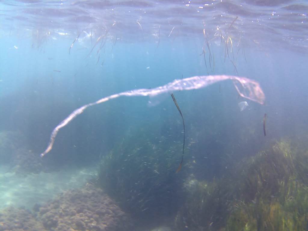
kelp
State\Province
Coromandel
City
Whitianga
Map Help
Dive Location
If you know your survey site coordinates, enter them manually in decimal degrees using WGS84 Map Datum. Use the minus sign for latitudes south of the equator and longitudes west of the Prime Meridian to 180 degrees.
If you do not know your survey site coordinates, click the “Map Location” tab to use the map to zoom into your survey site and drop the pin on the map to fall within your survey dive site in the water (not on land or the beach). Ensure you zoom in as much as possible to ensure data accuracy.
Entangled Help