Cedar Point
1
1
44.81122739634, -80.117329245739
44.81122739634, -80.117329245739
Debris due to boating activities in the area.
Patio Umbrella
Sunny, Calm
1
1
Patio Umbrella
Paper Cup
Georgian Bay Divers
Lee Munson
2
4
20.00
25
21.00
2.00
estimated
1500.00
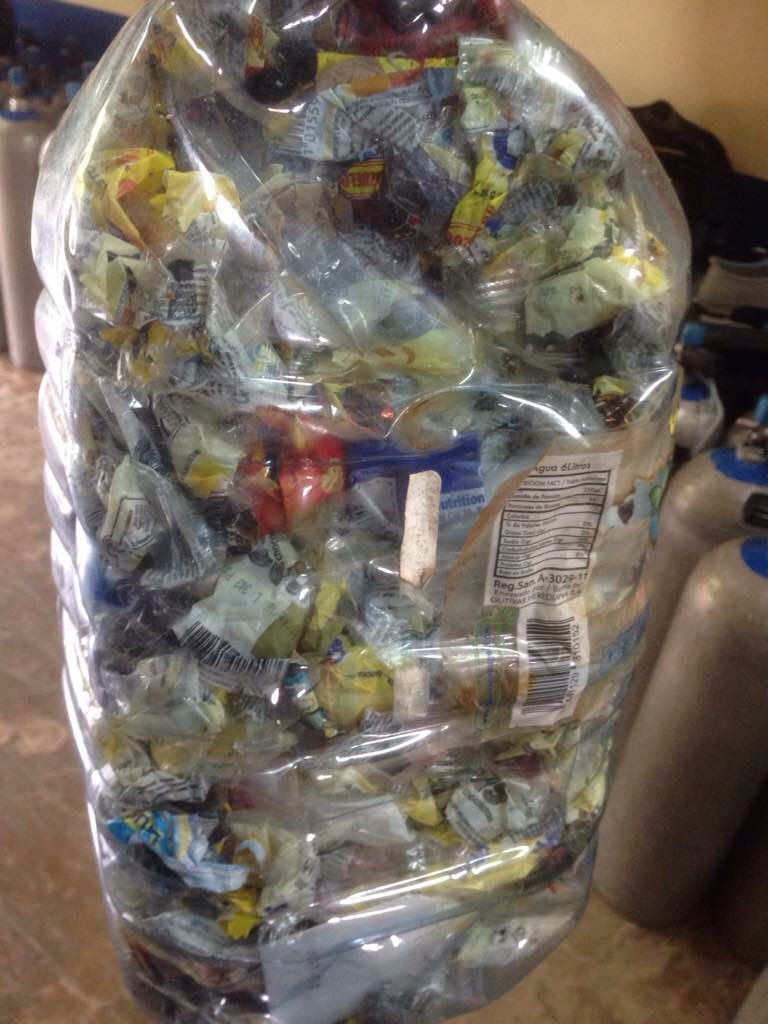
Plastic bottles
Aluminium Cans
On
kilograms
I have debris data to report
Calm (glassy to rippled) for waves 0 – 0.1 meter high
m2


meters
other
1
5
State\Province
Ontario
Map Help
Dive Location
If you know your survey site coordinates, enter them manually in decimal degrees using WGS84 Map Datum. Use the minus sign for latitudes south of the equator and longitudes west of the Prime Meridian to 180 degrees.
If you do not know your survey site coordinates, click the “Map Location” tab to use the map to zoom into your survey site and drop the pin on the map to fall within your survey dive site in the water (not on land or the beach). Ensure you zoom in as much as possible to ensure data accuracy.
Entangled Help
Use the vertical tabs below to record any entangled animals you found of each type.
Ecosystem Other
Sandy bottom