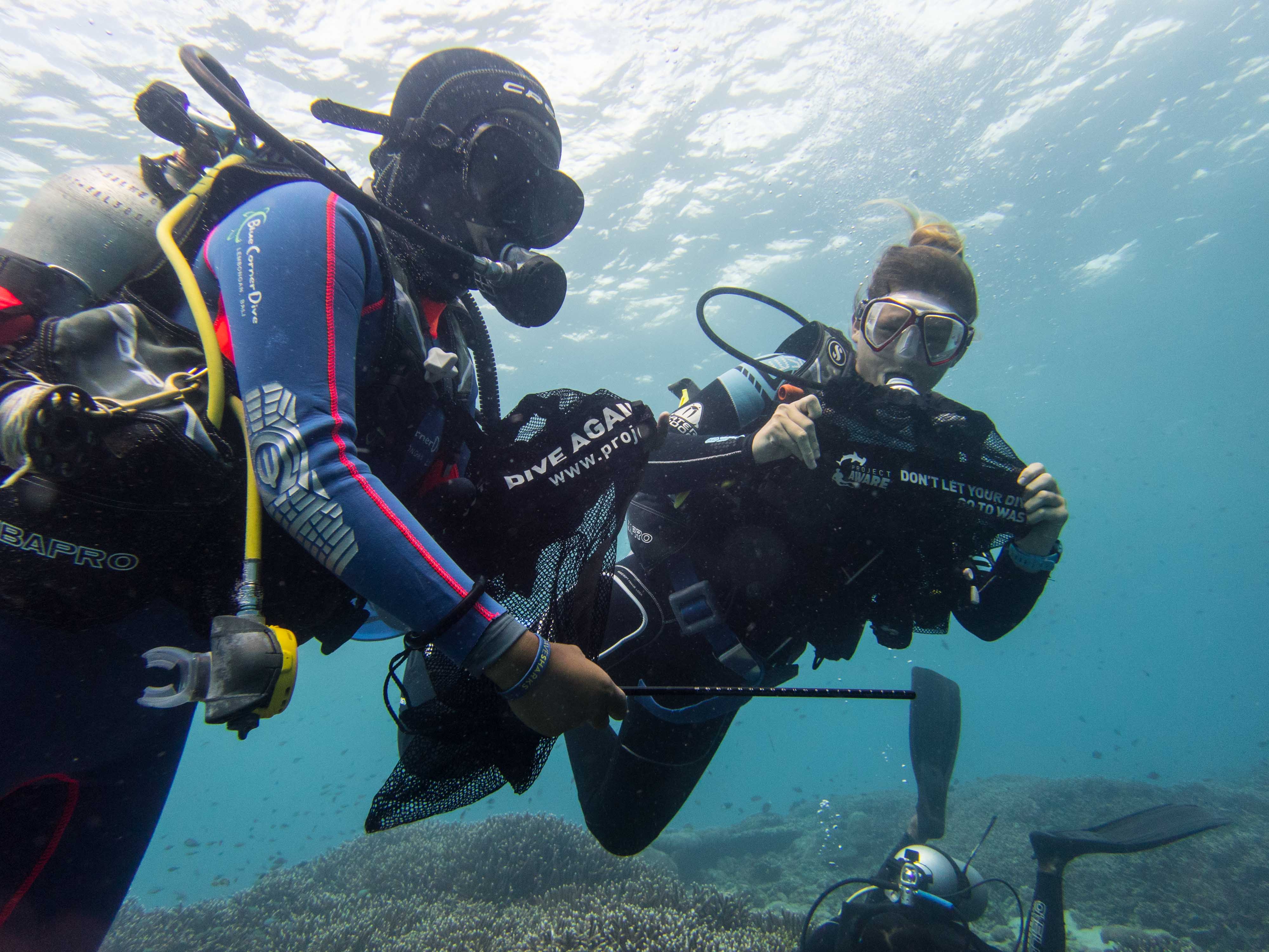
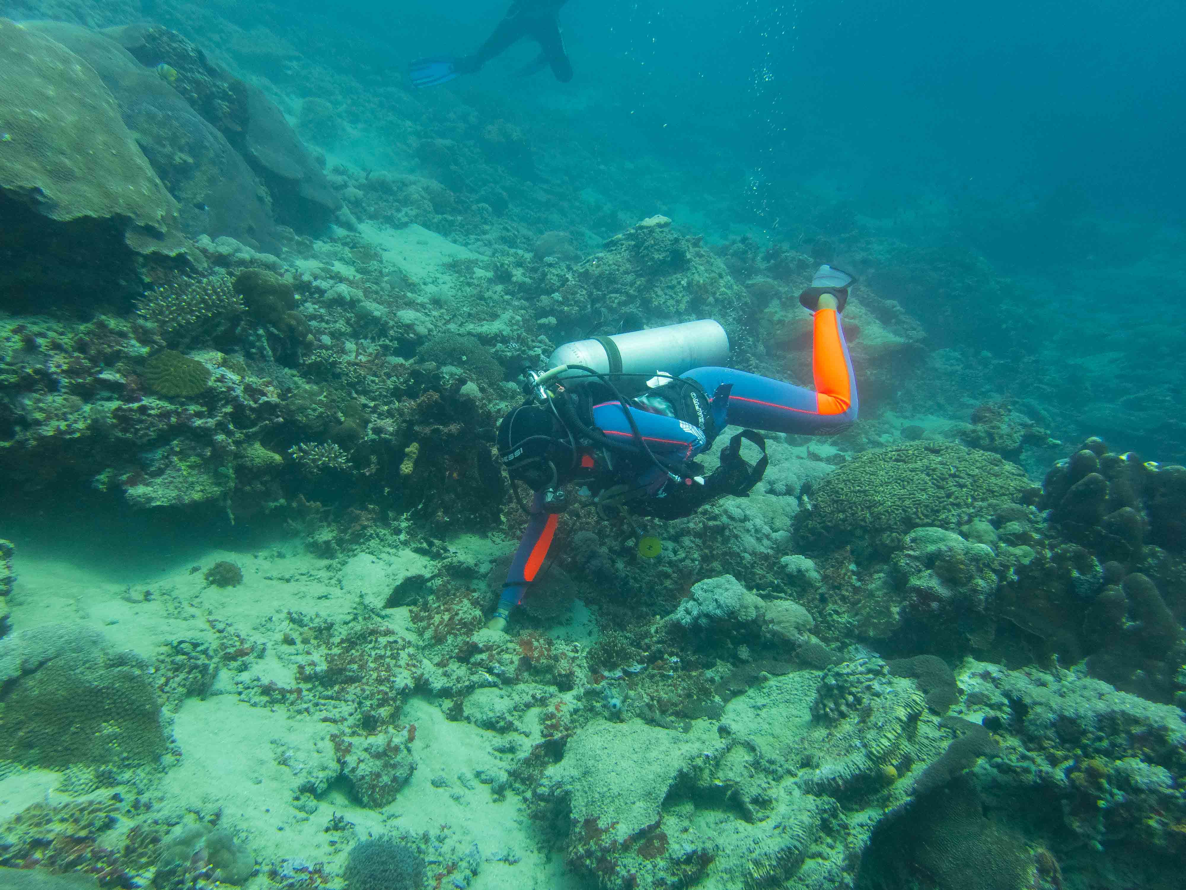
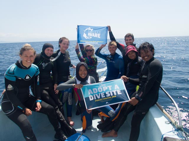
Octopus Rock
1
12.171103439769, 109.31296048494
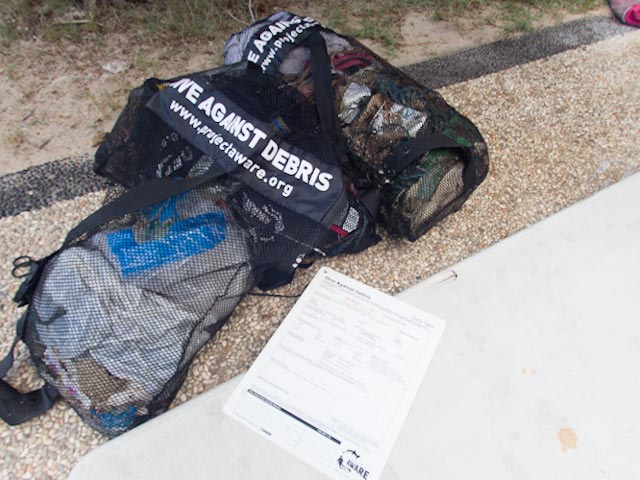
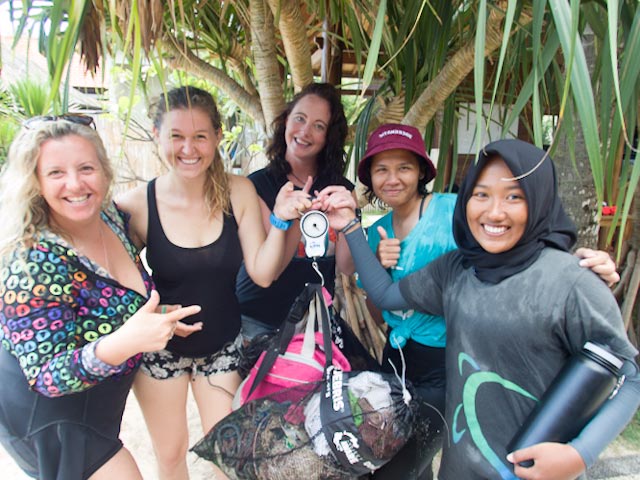
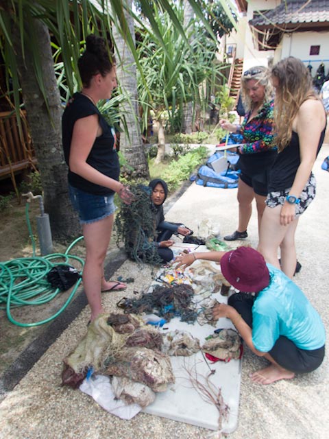
Second dive there to continue taking off a long fishing net. Again had to cut it and come up with a part of it...
Cloudy most of the time, moderate wInd, rain in afternoon.
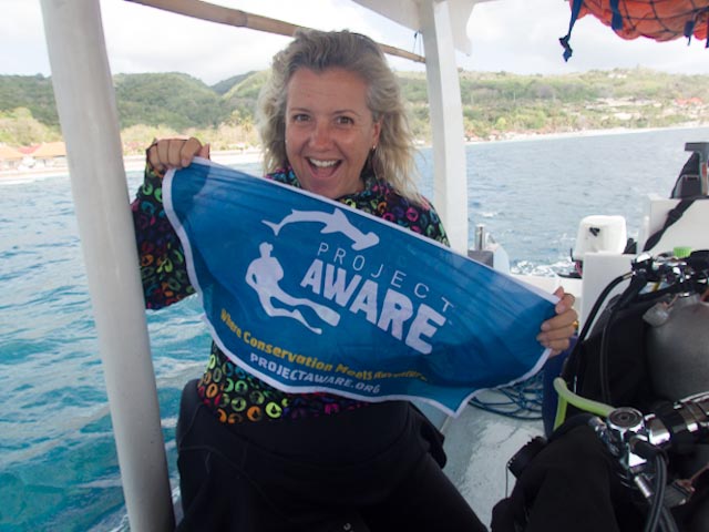
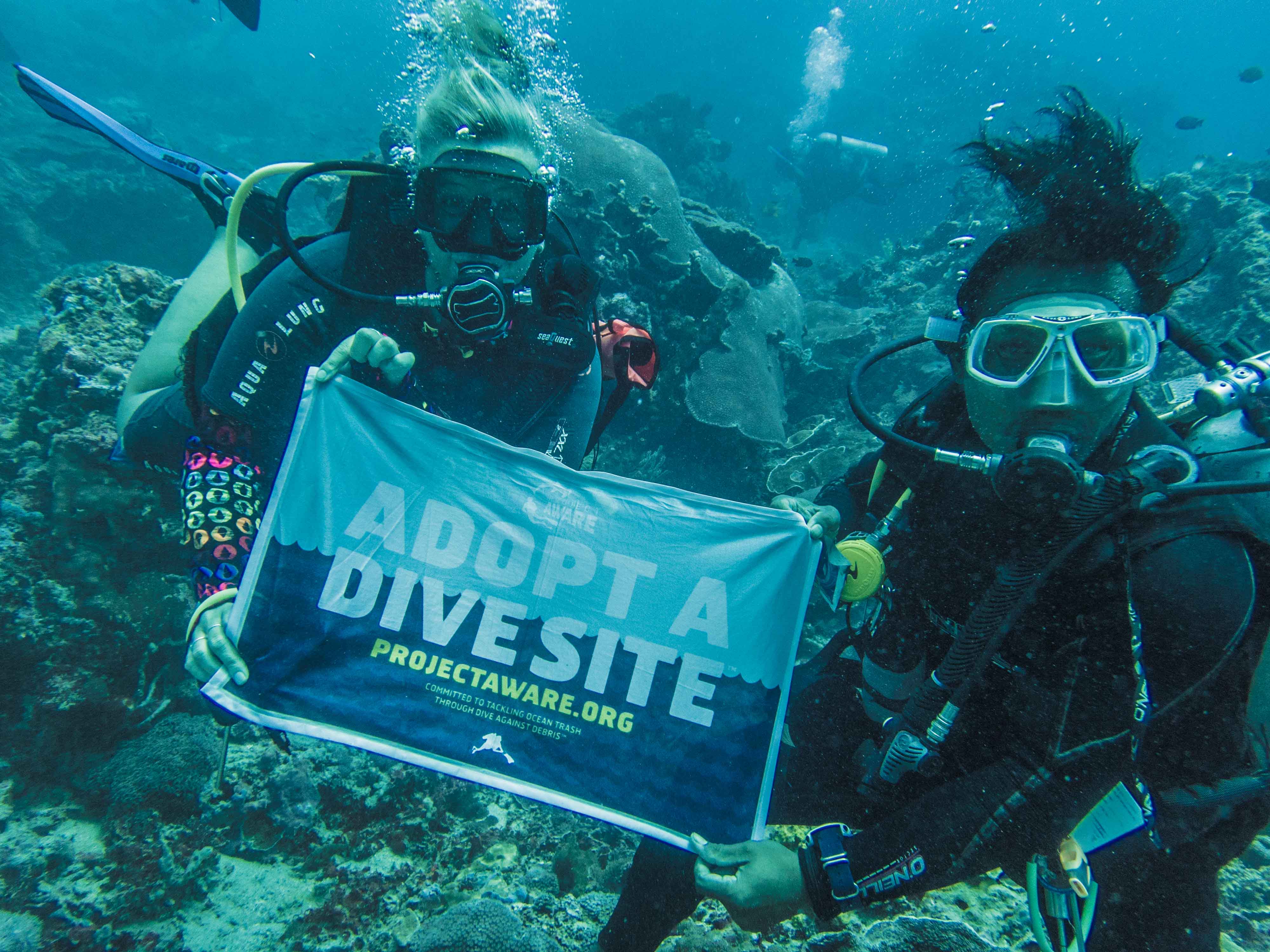
Sailing Club Divers
Nicolas Martin
2
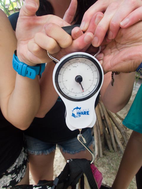
15.00
39
21.00
16.00
estimated
60.00
On
kilograms
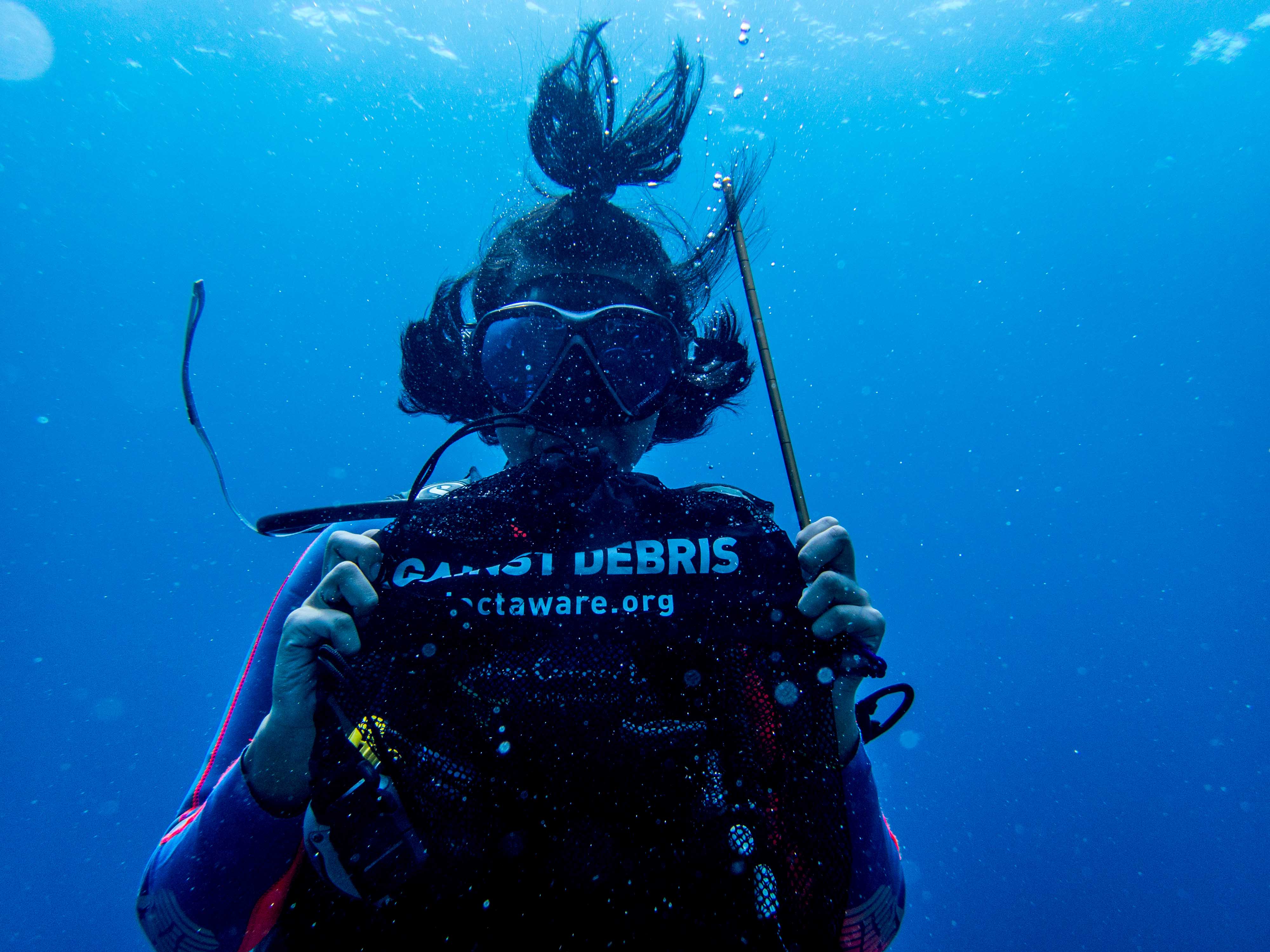
I have debris data to report
Calm (glassy to rippled) for waves 0 – 0.1 meter high
Fishing net
Crab (Daldorfia horrida)
Released Unharmed
1
m2


meters
coral reef
State\Province
Khanh Hoa
City
Nha Trang
Map Help
Dive Location
If you know your survey site coordinates, enter them manually in decimal degrees using WGS84 Map Datum. Use the minus sign for latitudes south of the equator and longitudes west of the Prime Meridian to 180 degrees.
If you do not know your survey site coordinates, click the “Map Location” tab to use the map to zoom into your survey site and drop the pin on the map to fall within your survey dive site in the water (not on land or the beach). Ensure you zoom in as much as possible to ensure data accuracy.
Entangled Help