ADS330 - The Jetty
12
18
5
2
sand
5
5
128
-8.5086251185233, 115.51903886248
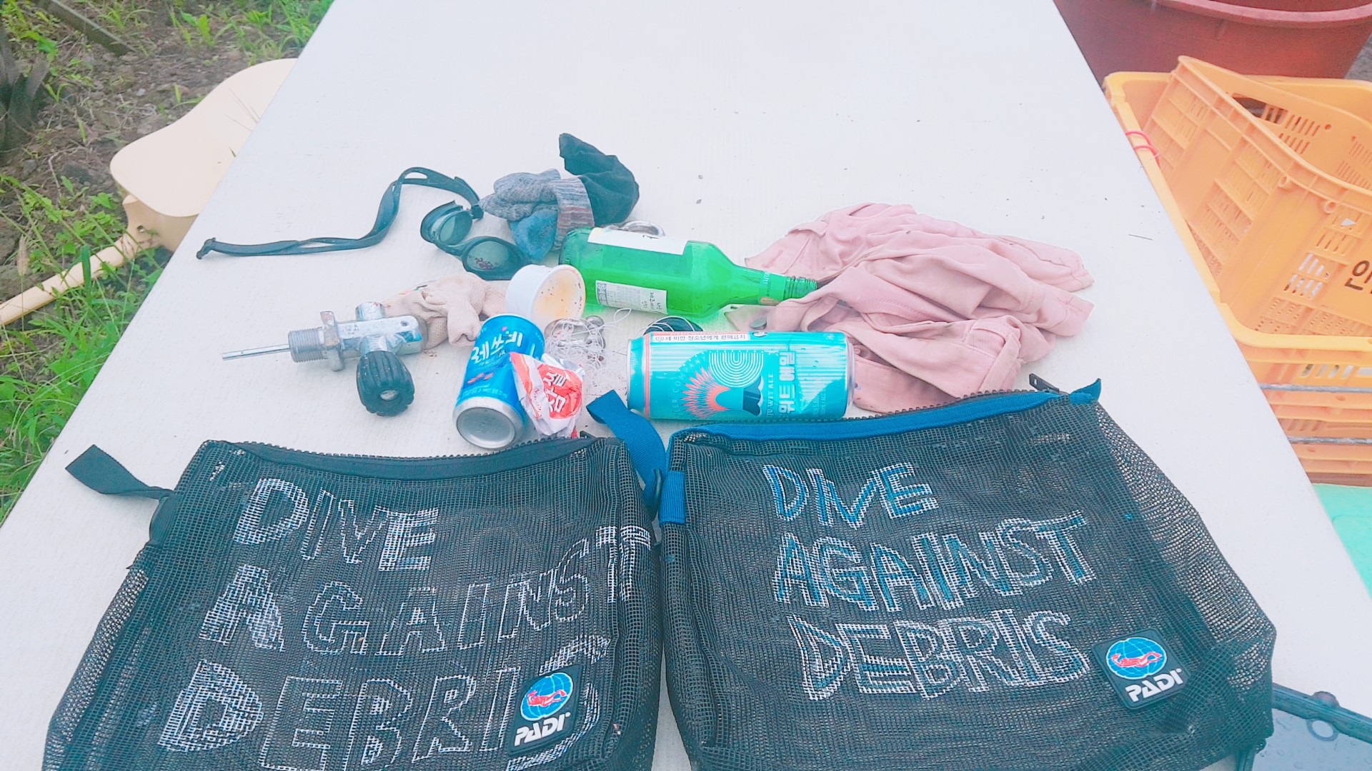
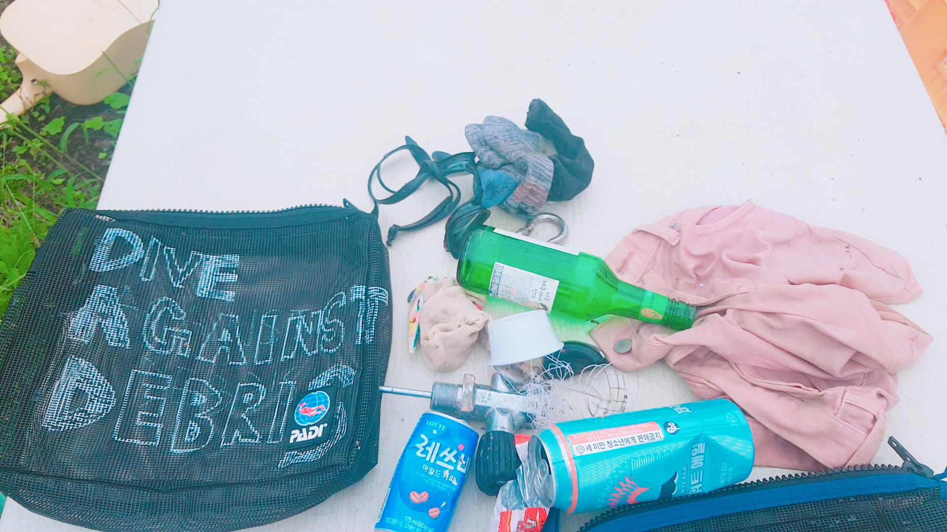
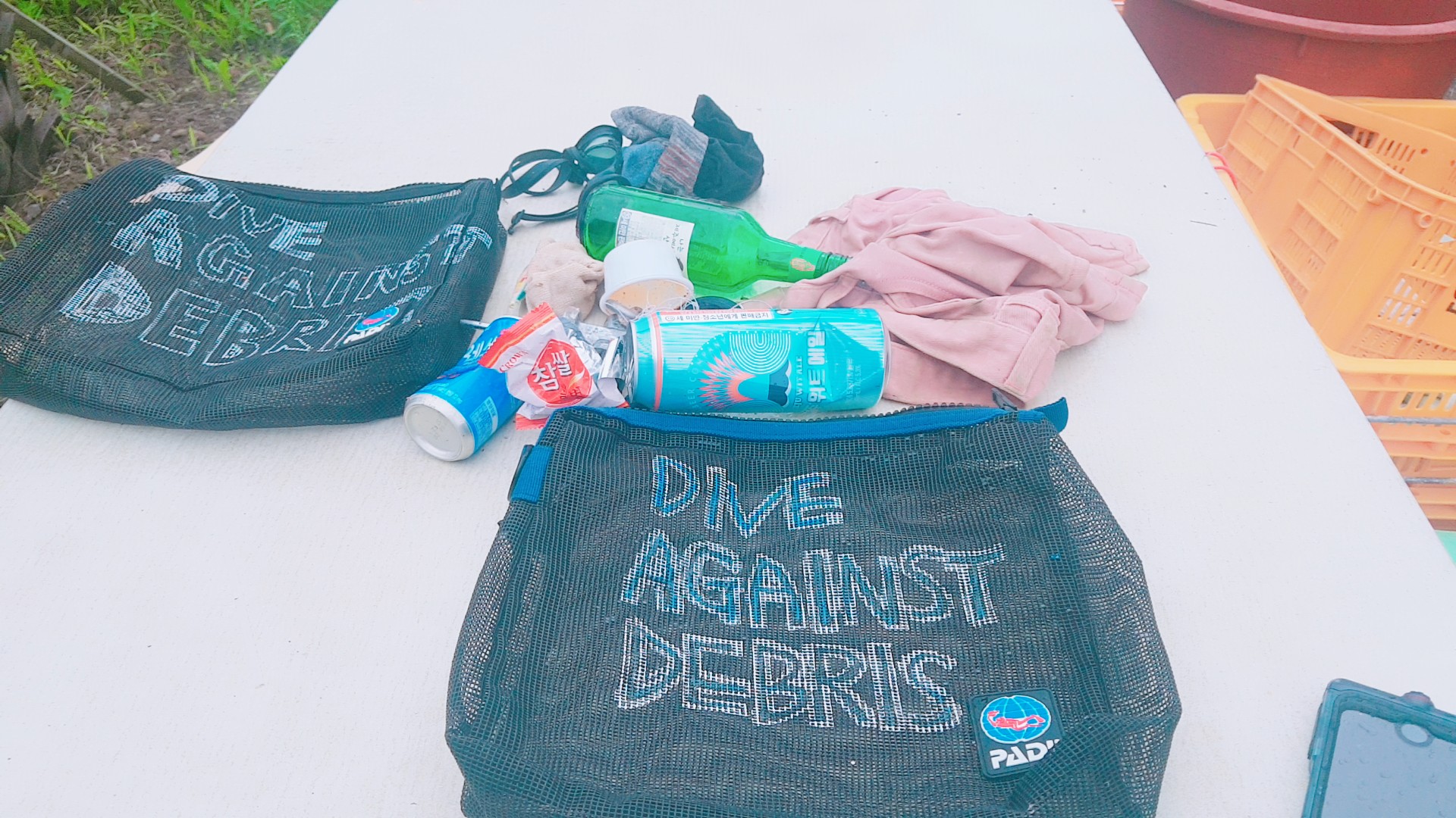
The fishing net we removed was very large, have been chipping away at it for the last few weeks but this time managed to get it free - Some really nice sea fans now free to see open water :)
Bow Tie!
Calm
1
1
Sports Bag
Bow Tie!
Blue Season Bali
Samuel Norton
4
1
1
9
1
7
1
1
66.00
49
17.00
15.00
24
measured
133
91.25
Fishing Net
Fishing Line
Fishing Sinkers
On
kilograms
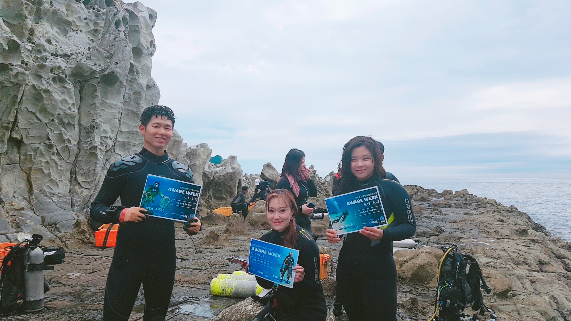
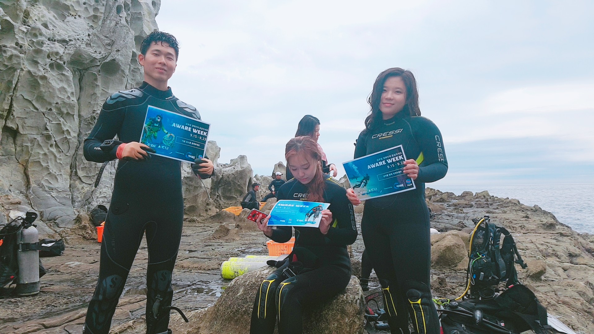
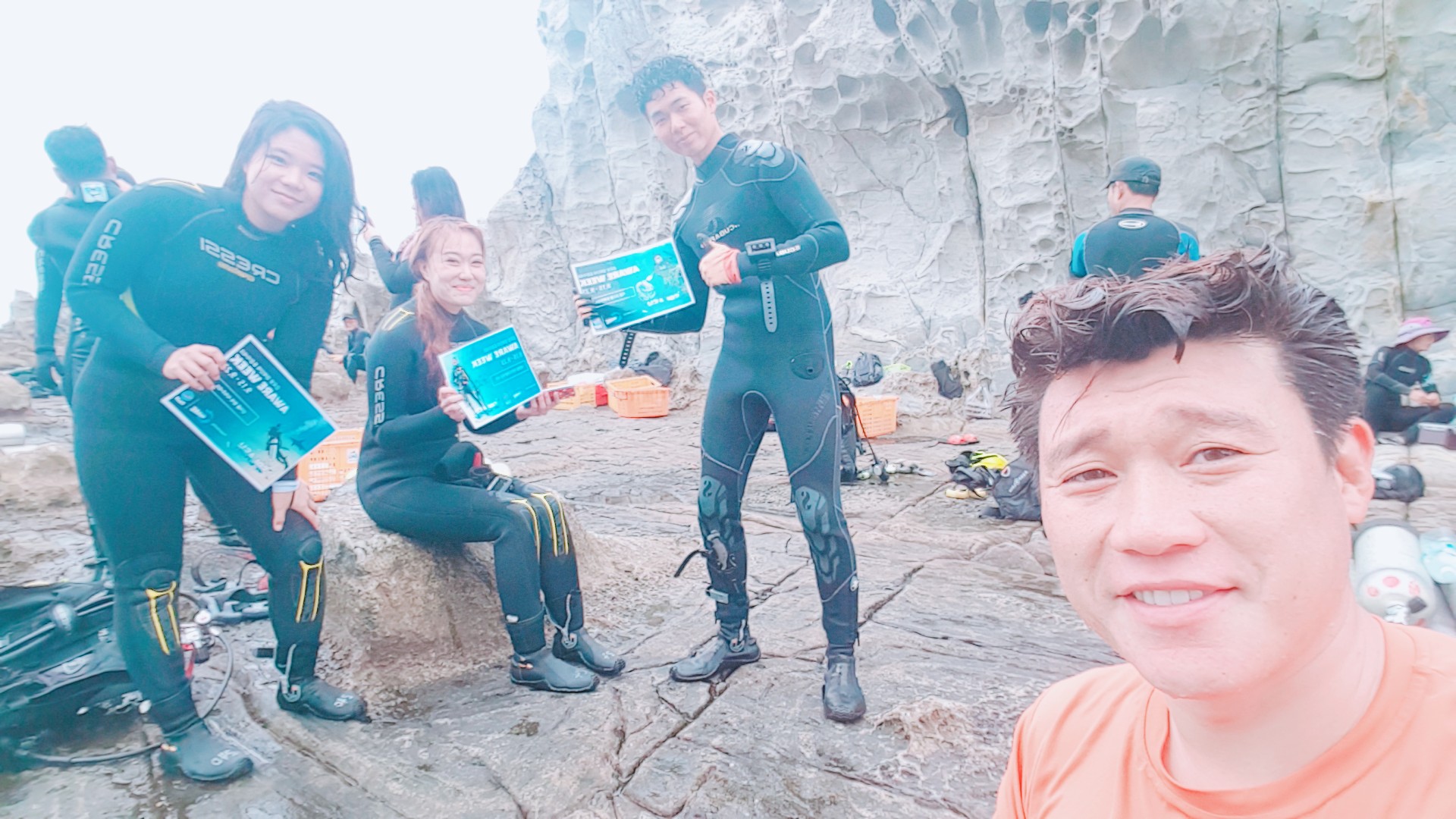
I have debris data to report
9
Calm (glassy to rippled) for waves 0 – 0.1 meter high
47
3
m2


11
meters
coral reef
7
2
6
6
8
1
Map Help
Dive Location
If you know your survey site coordinates, enter them manually in decimal degrees using WGS84 Map Datum. Use the minus sign for latitudes south of the equator and longitudes west of the Prime Meridian to 180 degrees.
If you do not know your survey site coordinates, click the “Map Location” tab to use the map to zoom into your survey site and drop the pin on the map to fall within your survey dive site in the water (not on land or the beach). Ensure you zoom in as much as possible to ensure data accuracy.
Entangled Help