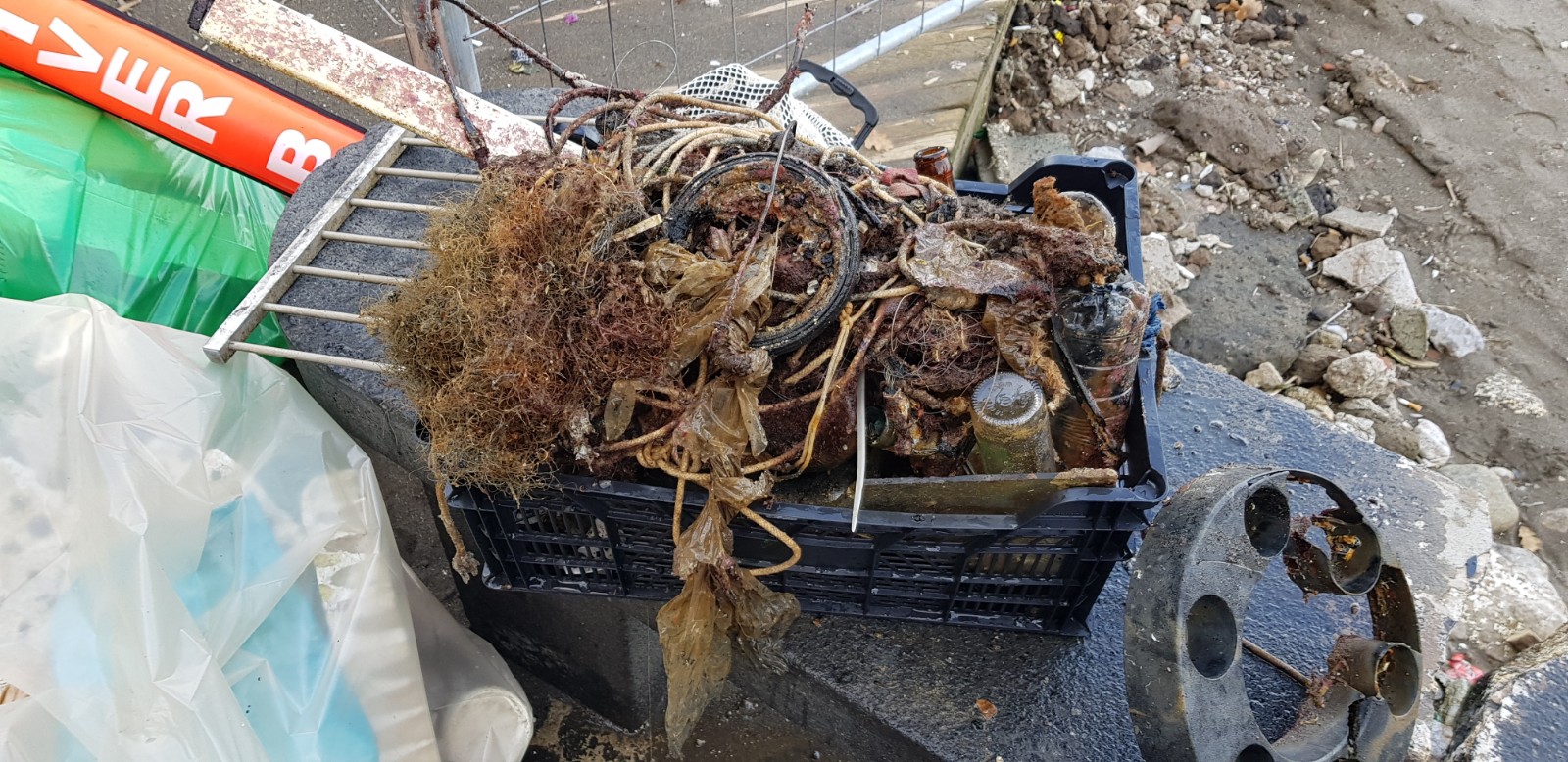
Babbacombe bay
0
0
0
0
50.47911, -3.509262
3
0
0
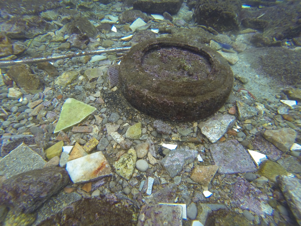
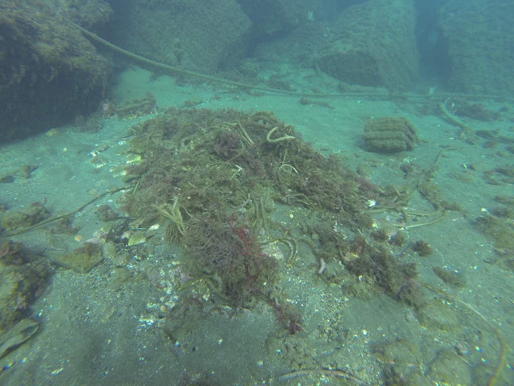
rock
0
0
0
4
0
very little other debris around
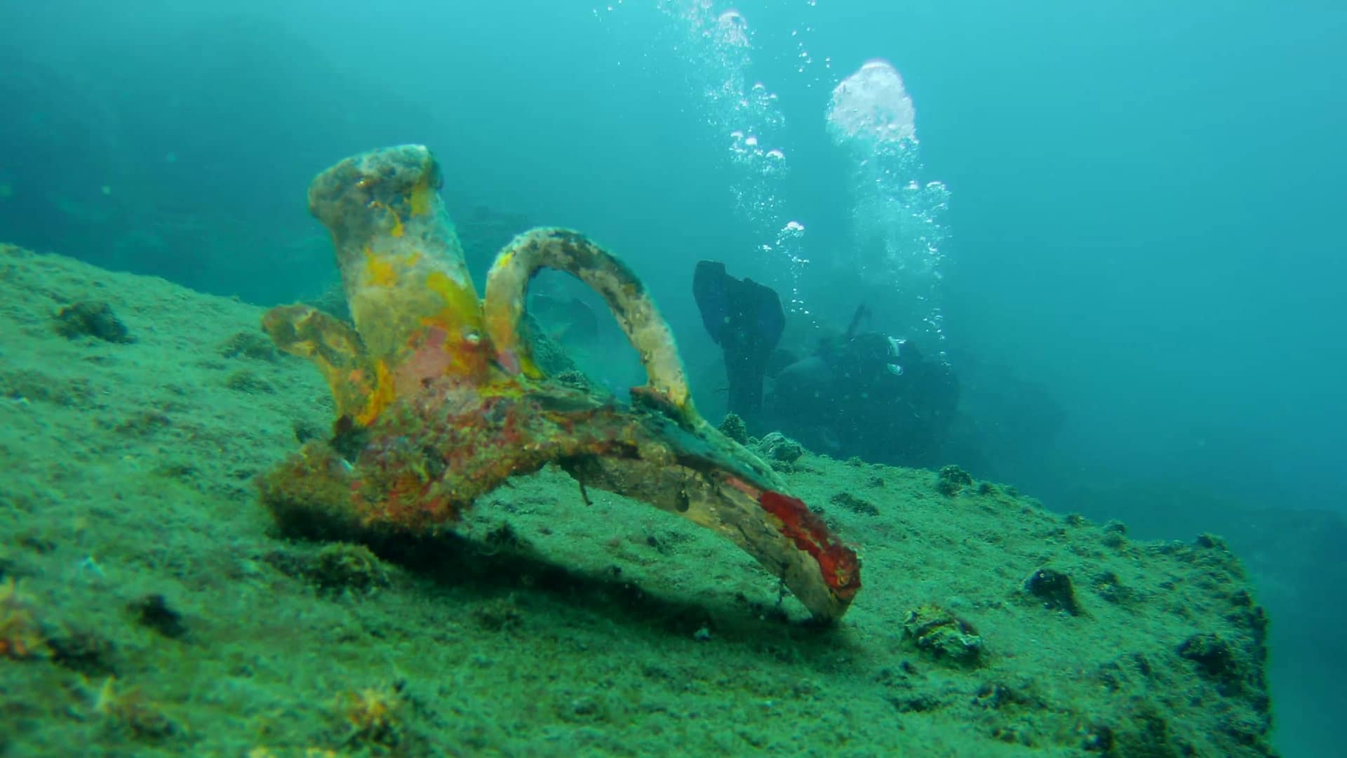
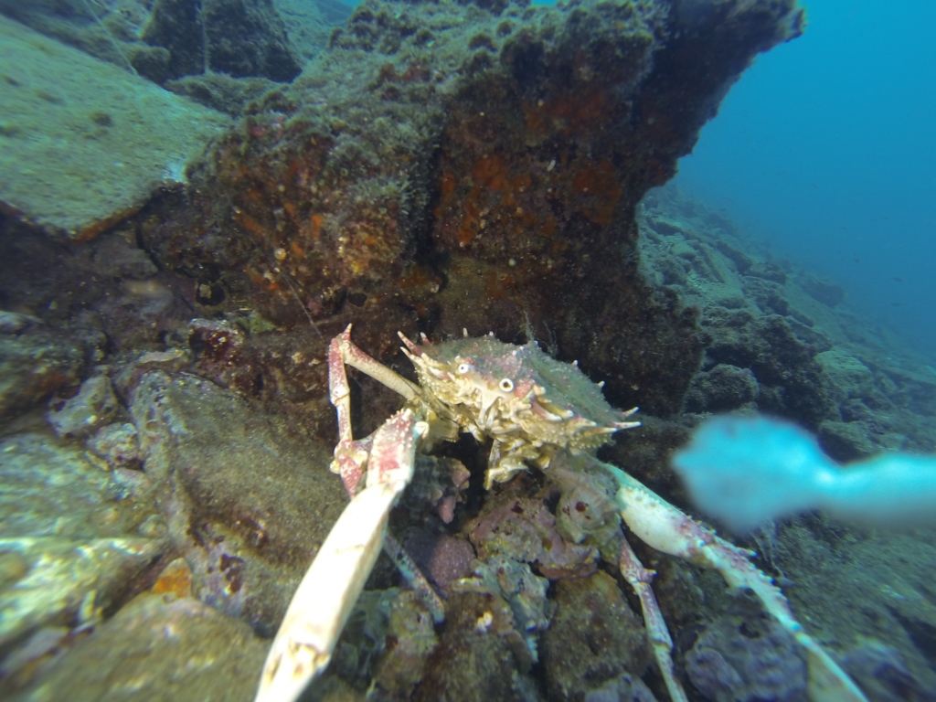
Fishermen regularly lose line trapped in rocks
released fish and removed line, took and sinker
cold and wet, some wind
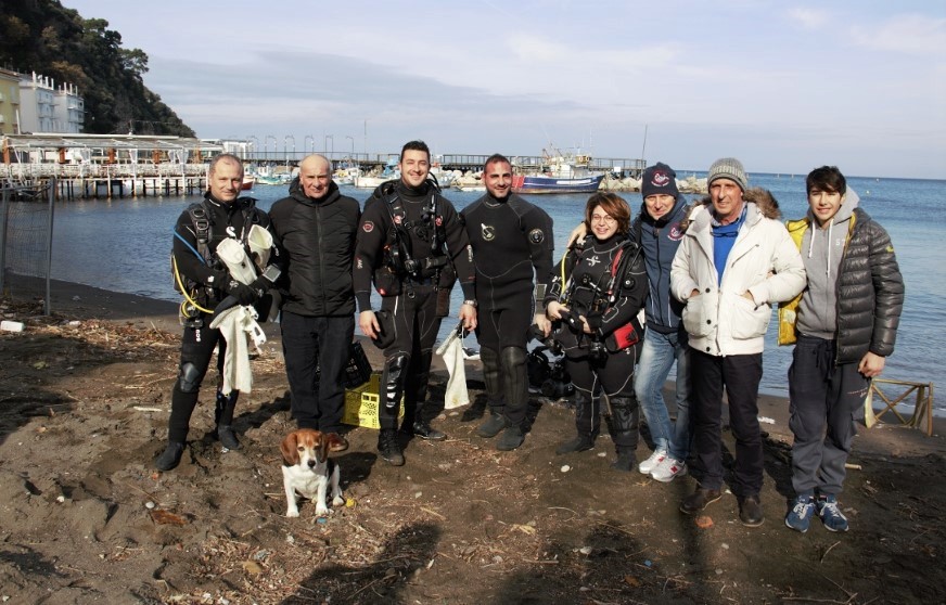
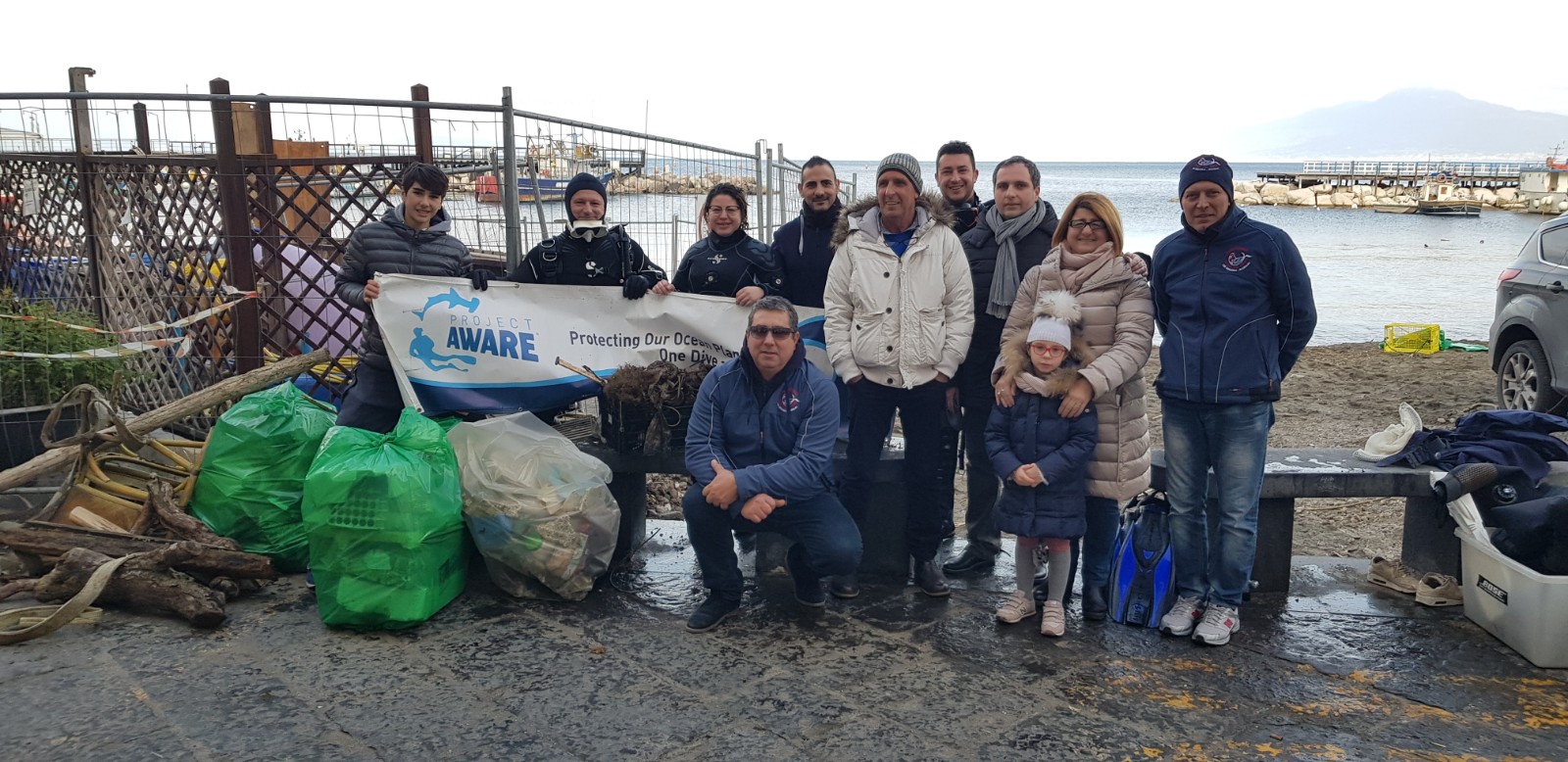
Nglos BSAC
Richard Carey
0
0
0
0
0
0
0
0
0
0
0
0
0
0
0
0
0
0
0
2
0
0
0
0
0
0
0
0
0
0
0
0
0
0
0
0
0.50
45
9.00
3.00
0
estimated
0
0
0
2
47.91
0
0
0
0
0
hooks
0
On
kilograms
0
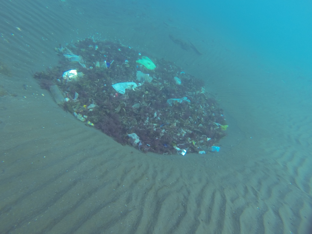
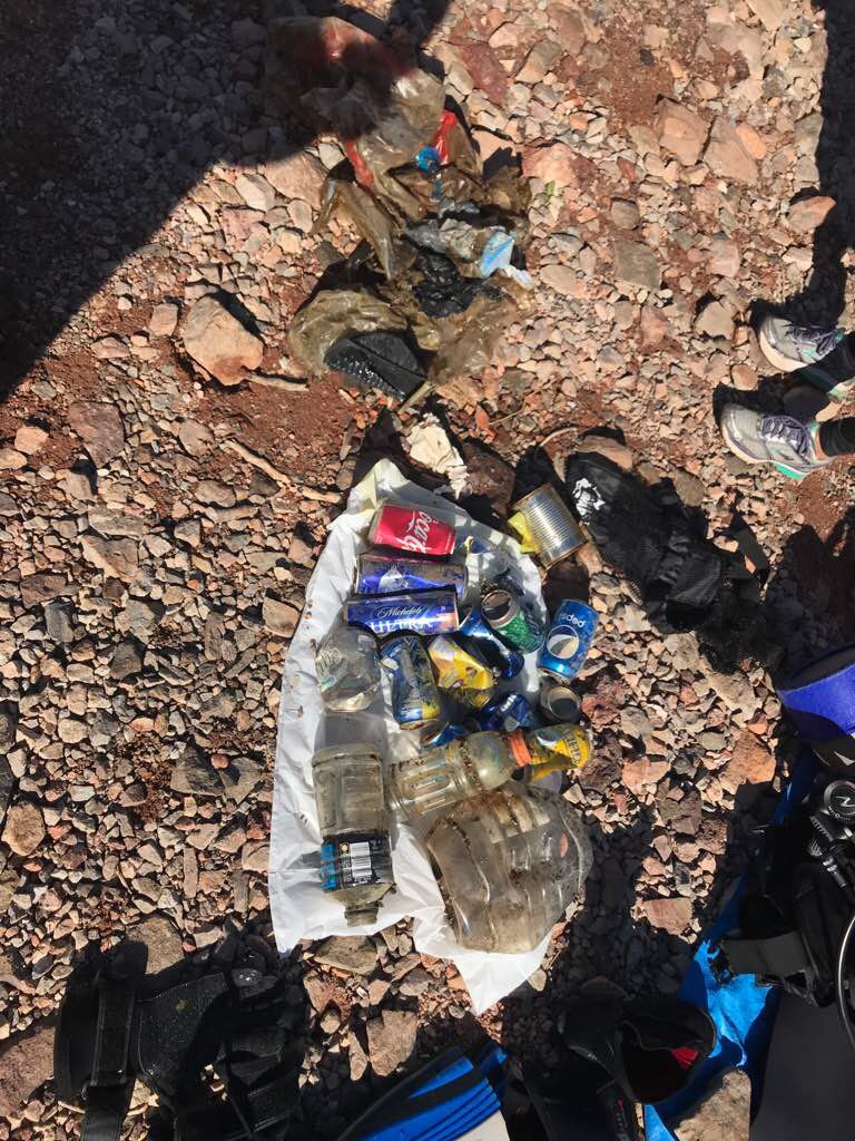
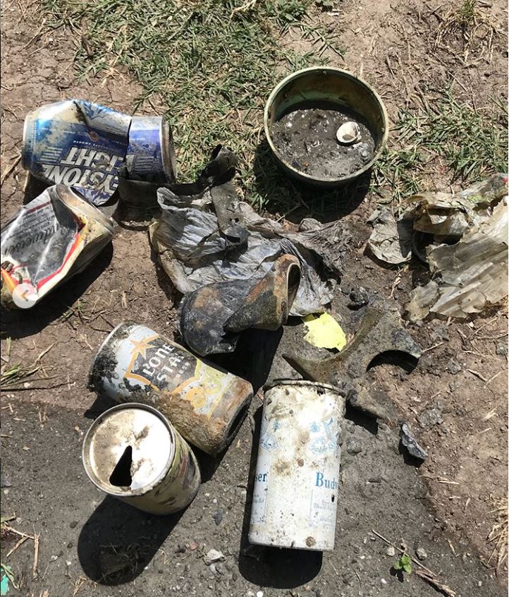
I have debris data to report
0
0
0
Calm (glassy to rippled) for waves 0 – 0.1 meter high
0
0
0
Released Unharmed
dogfish
1
caught on hook on discarded line trapped in rocks
0
0
0
0
m2
0
0
meters
rocky reef
0
0
0
0
0
0
0
0
0
0
0
0
0
0
0
0
0
0
0
0
0
0
0
0
0
0
0
0
0
State\Province
devon
City
Torquay
Map Help
Dive Location
If you know your survey site coordinates, enter them manually in decimal degrees using WGS84 Map Datum. Use the minus sign for latitudes south of the equator and longitudes west of the Prime Meridian to 180 degrees.
If you do not know your survey site coordinates, click the “Map Location” tab to use the map to zoom into your survey site and drop the pin on the map to fall within your survey dive site in the water (not on land or the beach). Ensure you zoom in as much as possible to ensure data accuracy.
Entangled Help