Mango Bay
3
1
6
sand
1
1
10.122759674424, 99.836084086545
no
sunny
2
Woven Plastic Bag
Eco Koh Tao - Crystal Dive
Jenny Dowling
4
1
1.20
65
12.00
5.00
4
estimated
50.00
1
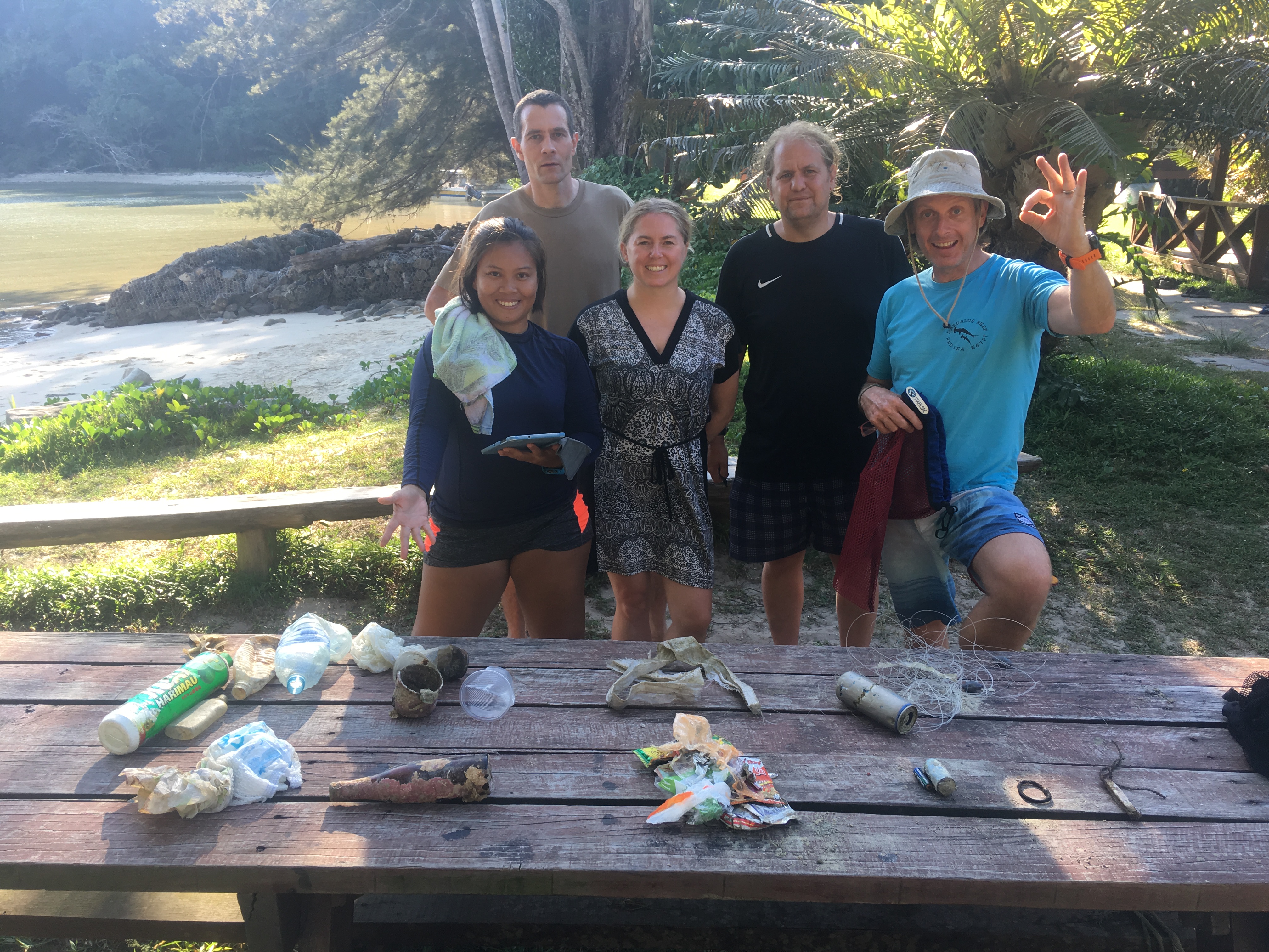
fishing nets and pieces
fishing rope
plastic fragments
1
On
kilograms
I have debris data to report
Smooth (wavelets) for waves 0.1 - 0.5 meter high
1
4
1
m2
meters
coral reef
1
2
State\Province
Surat Thani
City
Koh Tao
Map Help
Dive Location
If you know your survey site coordinates, enter them manually in decimal degrees using WGS84 Map Datum. Use the minus sign for latitudes south of the equator and longitudes west of the Prime Meridian to 180 degrees.
If you do not know your survey site coordinates, click the “Map Location” tab to use the map to zoom into your survey site and drop the pin on the map to fall within your survey dive site in the water (not on land or the beach). Ensure you zoom in as much as possible to ensure data accuracy.
Entangled Help