ADS43 - House Reef of Kontiki Mactan
7
17
1
4
10.282194, 123.999167
3
16
Fluvial parade during the Sinulog 2019 activities happened last 19January. Exceptional number of yellow and red fragments of plastic likely from buntings similar to the colors of Sinulog.
sunny
20
wet wipes
Dive Funatics
Rikka
1
4
2
1
6
3
2
7
5.00
45
17.00
0.50
3
estimated
614.00
Wet wipes covering corals
On
kilograms
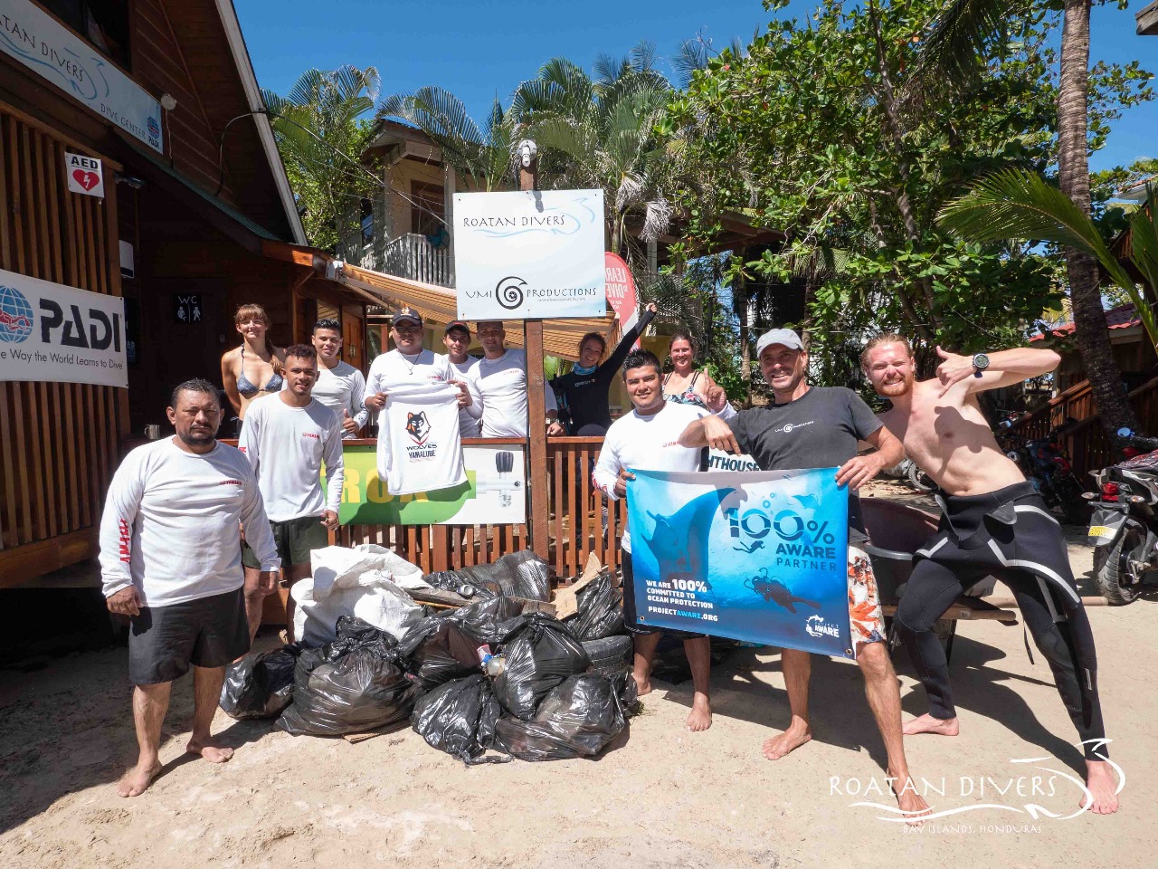
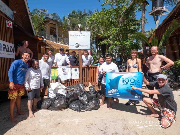
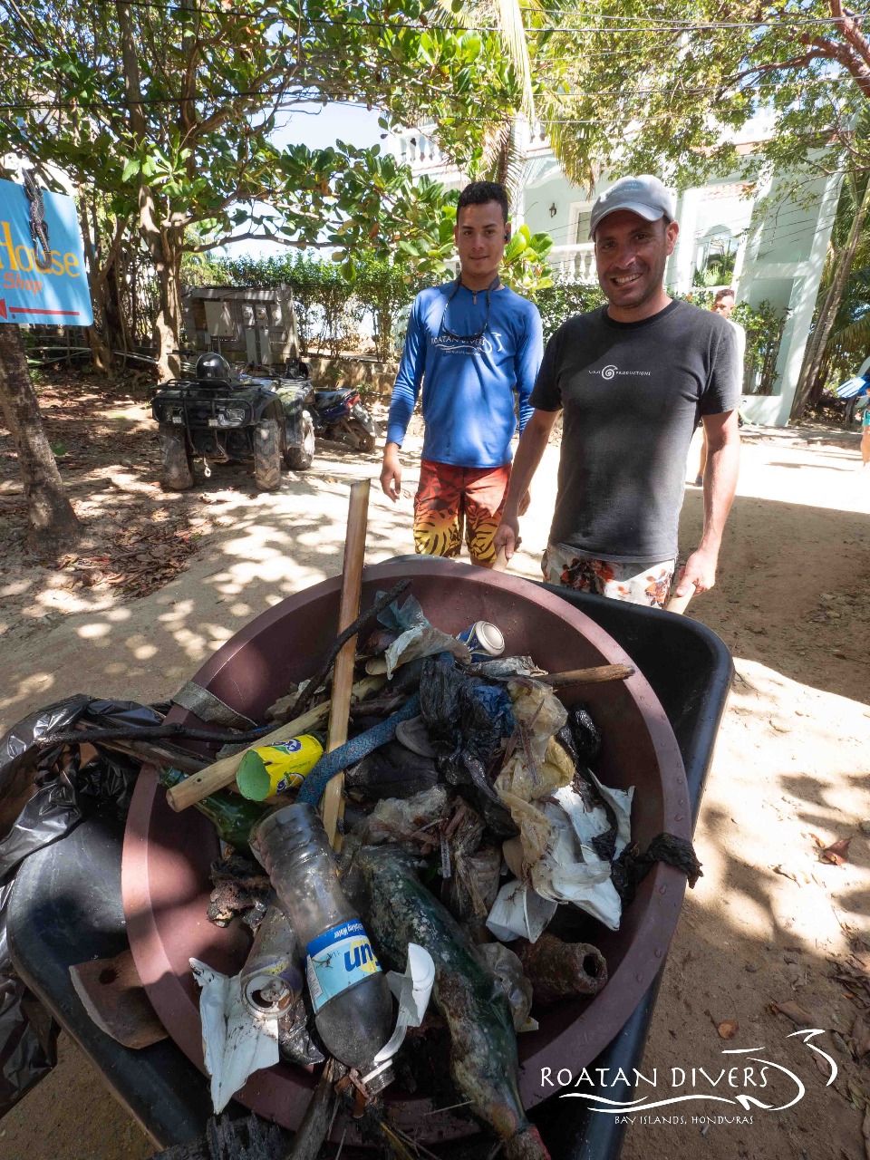
I have debris data to report
4
Calm (glassy to rippled) for waves 0 – 0.1 meter high
1
3
m2

2
1
meters
coral reef
2
1
3
1
1
State\Province
Cebu
City
Lapulapu
Map Help
Dive Location
If you know your survey site coordinates, enter them manually in decimal degrees using WGS84 Map Datum. Use the minus sign for latitudes south of the equator and longitudes west of the Prime Meridian to 180 degrees.
If you do not know your survey site coordinates, click the “Map Location” tab to use the map to zoom into your survey site and drop the pin on the map to fall within your survey dive site in the water (not on land or the beach). Ensure you zoom in as much as possible to ensure data accuracy.
Entangled Help