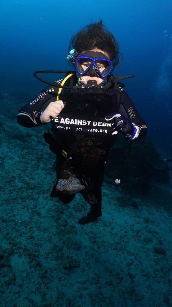
Jardines Tres
rock
Mexico
20.832666030871, -86.863697021364
Sunny with slight wind, no rain or wind events.
Global Visions International
Robert Hingston
1
2
0.03
40
8.40
4.00
estimated
100.00
On
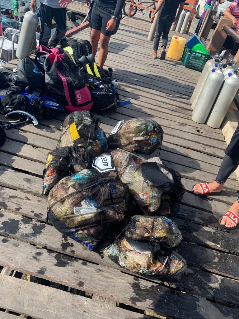
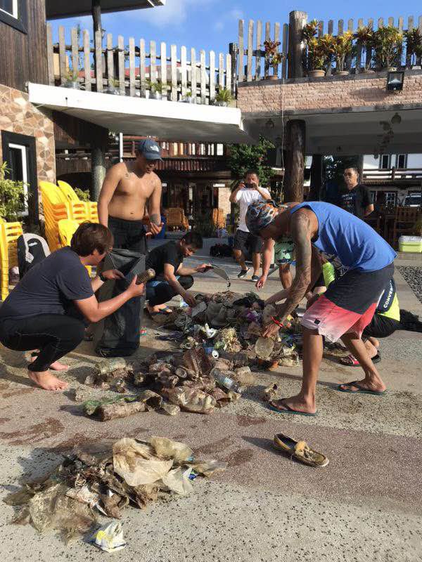
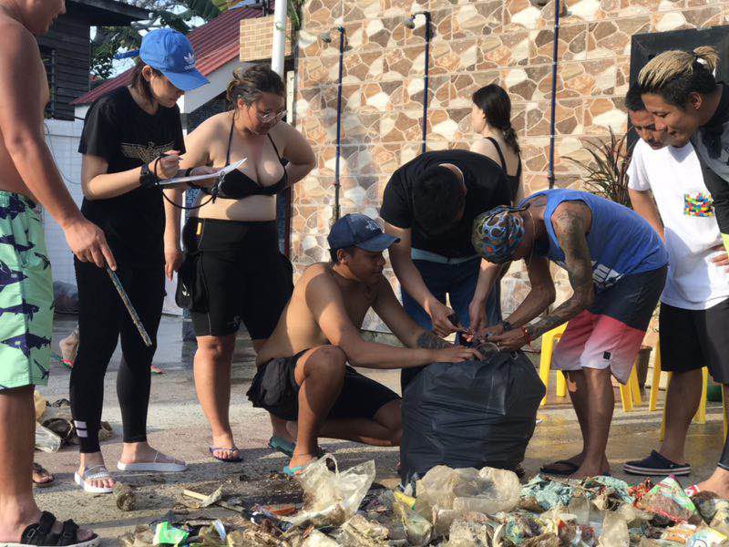
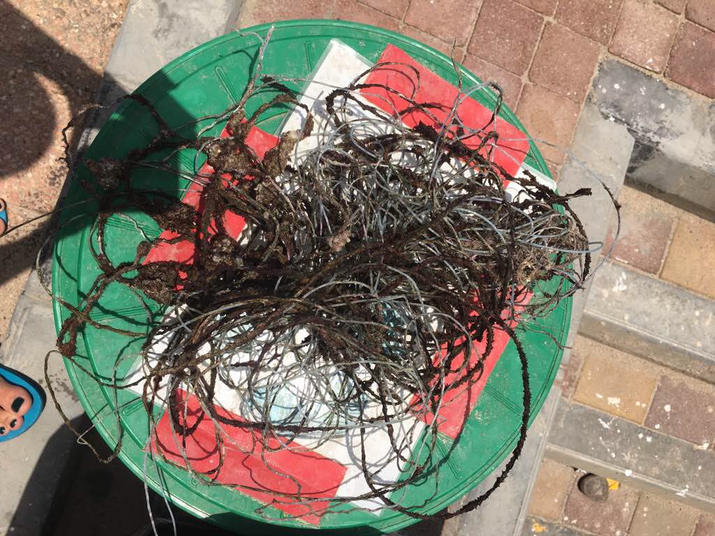
kilograms
I have debris data to report
Slight for waves 0.5 -1.25 meter high
m2
meters
coral reef
State\Province
Quintana Roo
City
Puerto Morelos
Map Help
Dive Location
If you know your survey site coordinates, enter them manually in decimal degrees using WGS84 Map Datum. Use the minus sign for latitudes south of the equator and longitudes west of the Prime Meridian to 180 degrees.
If you do not know your survey site coordinates, click the “Map Location” tab to use the map to zoom into your survey site and drop the pin on the map to fall within your survey dive site in the water (not on land or the beach). Ensure you zoom in as much as possible to ensure data accuracy.
Entangled Help