Benwood Wreck Ball 1
25.0521333, -80.332
Sea Base
Alex McCaskill SL021520A
3
0.00
30
26.00
10.00
measured
1200.00
On
pounds
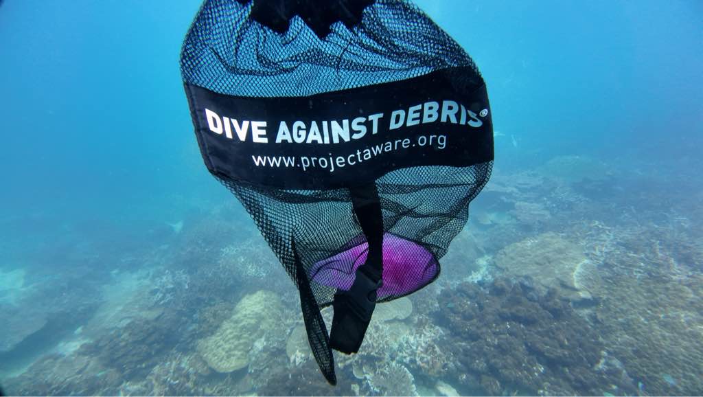
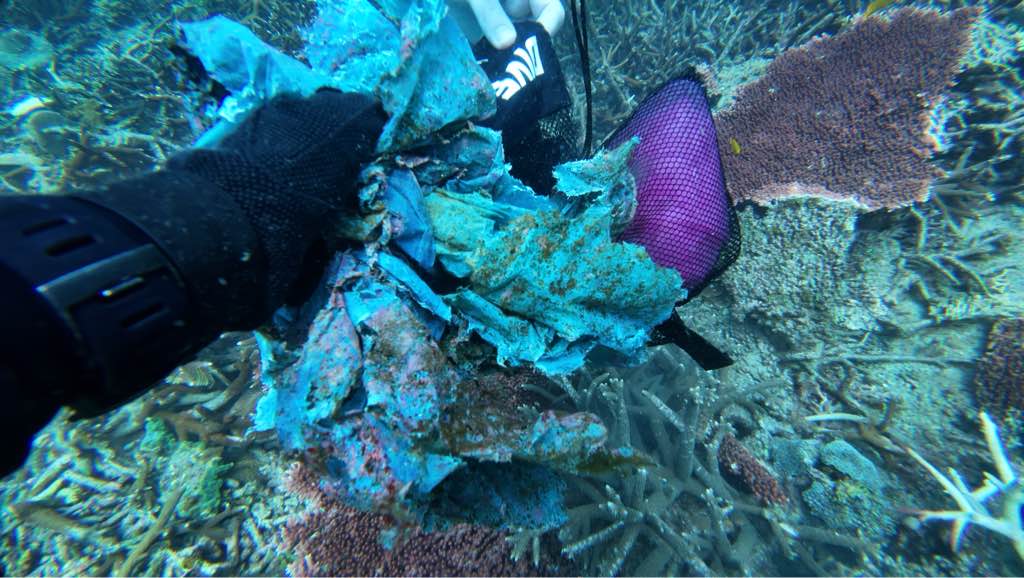
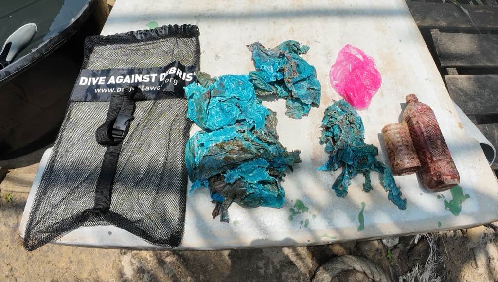
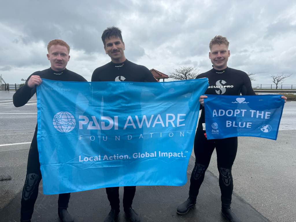
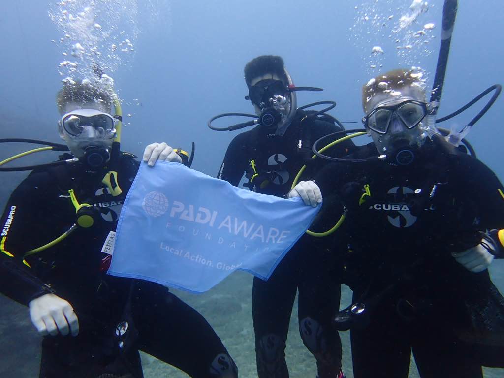
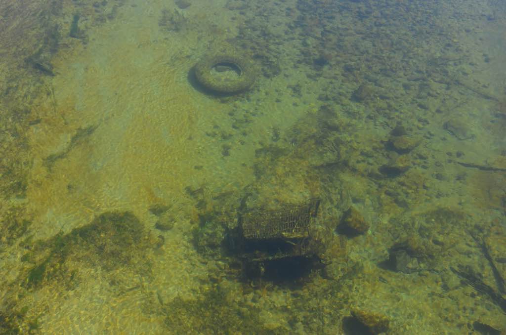
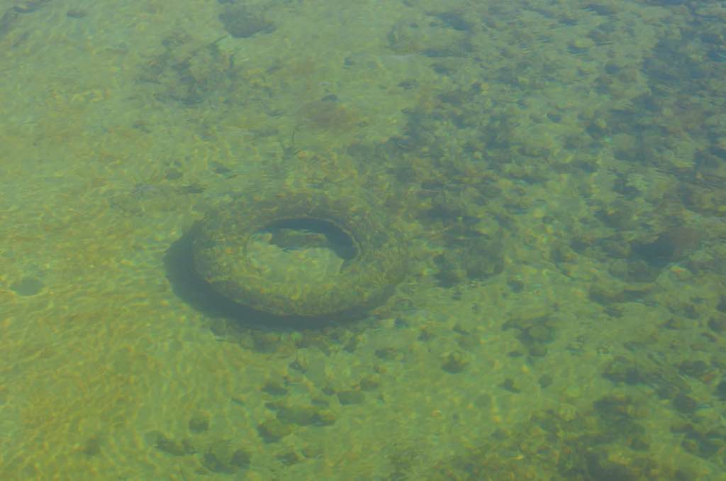
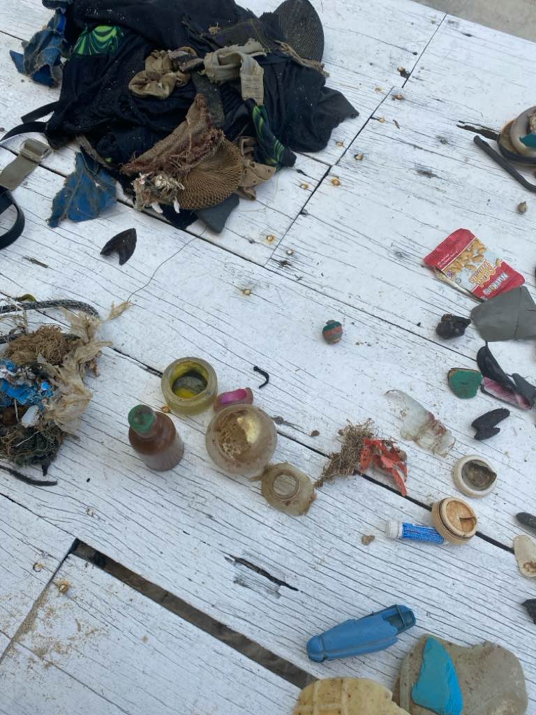
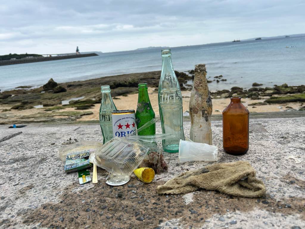
Our Survey Site was free of debris
Slight for waves 0.5 -1.25 meter high
ft2
feet
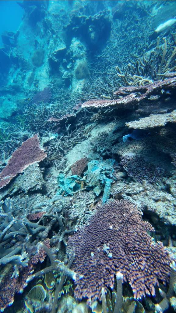
coral reef
State\Province
FL
City
Islamorada
Map Help
Dive Location
If you know your survey site coordinates, enter them manually in decimal degrees using WGS84 Map Datum. Use the minus sign for latitudes south of the equator and longitudes west of the Prime Meridian to 180 degrees.
If you do not know your survey site coordinates, click the “Map Location” tab to use the map to zoom into your survey site and drop the pin on the map to fall within your survey dive site in the water (not on land or the beach). Ensure you zoom in as much as possible to ensure data accuracy.
Entangled Help
Use the vertical tabs below to record any entangled animals you found of each type.
Dominant Substrate Other
Wreck