Menu

The caves

0
0
0

26.137111724486, -80.063741051399

0
0
0
coral
0
0
0
0
0
None
None
None
Good
0
0
0
0
0
0
0
0
0
0
0
0
0
0
0
0
0
0
0
0
Squalo Divers
Alfredo Alejos
0
0
0
0
0
0
0
0
0
0
0
0
0
0
0
0
0
0
0
4
0
0
0
0
0
0
0
0
0
0
0
0
0
0
1.00
45
40.00
25.00
0
estimated
0
4
500.00
0
0
0
0
0
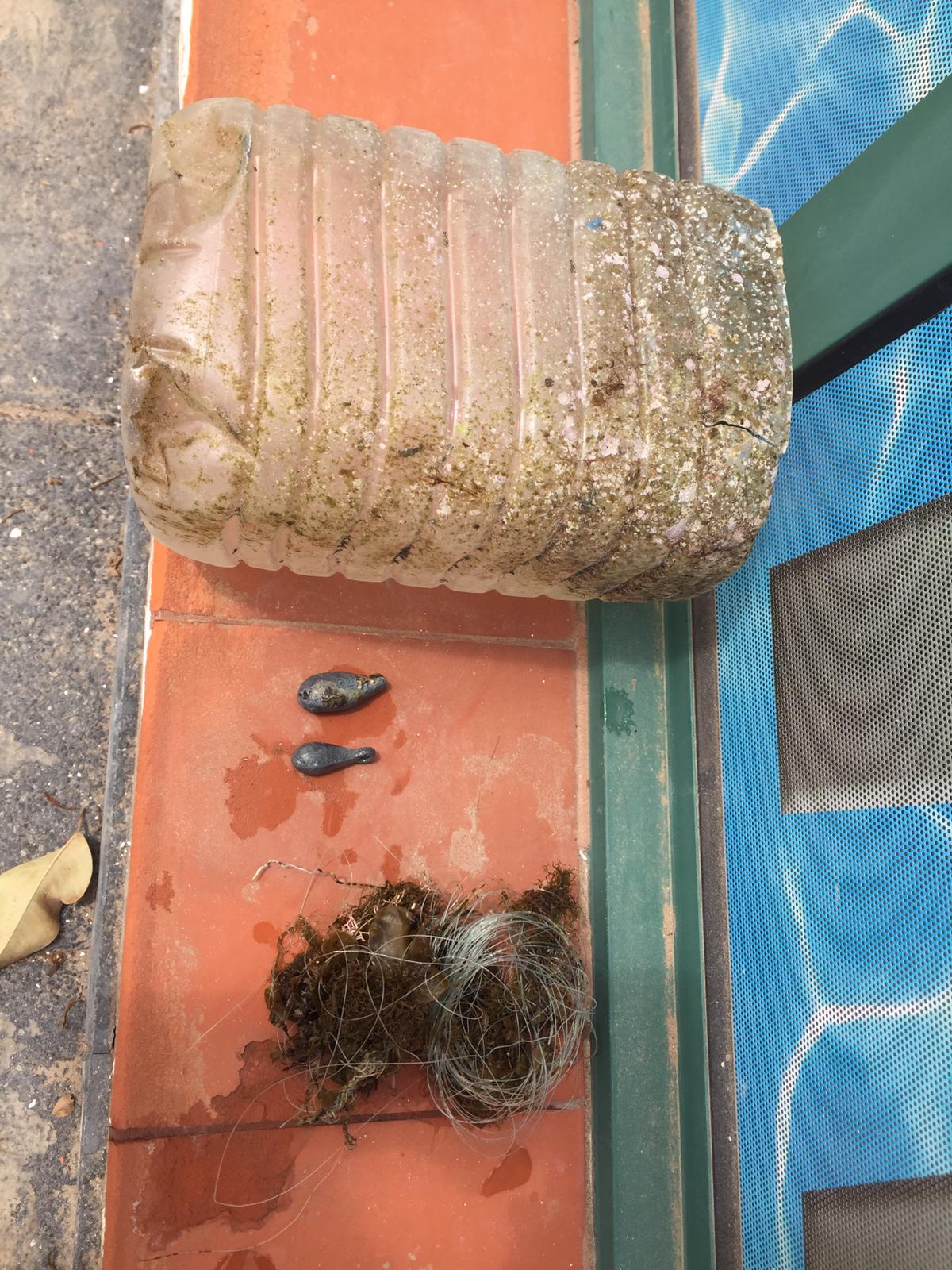
Plastic
Fishing line
Sinkers
0
On
pounds
0
I have debris data to report
1
0
0
Smooth (wavelets) for waves 0.1 - 0.5 meter high
2
0
0
1
0
0
0
ft2
0
0
feet
coral reef
0
0
0
0
0
0
0
0
0
0
0
0
0
0
0
0
0
0
0
0
0
0
0
0
0
0
0
0
United States
State\Province
Florida
City
Fort Lauderdale
Map Help


Dive Location

If you know your survey site coordinates, enter them manually in decimal degrees using WGS84 Map Datum. Use the minus sign for latitudes south of the equator and longitudes west of the Prime Meridian to 180 degrees.

If you do not know your survey site coordinates, click the “Map Location” tab to use the map to zoom into your survey site and drop the pin on the map to fall within your survey dive site in the water (not on land or the beach). Ensure you zoom in as much as possible to ensure data accuracy.

Entangled Help


Use the vertical tabs below to record any entangled animals you found of each type.

Kaja Ripnes

67.227279, 14.624927

3
rock
Saltstraumen DykkeCamp
Fredric Ihrsen
1
1.00
53
27.00
5.00
1
measured
5
1500.00
On
kilograms
I have debris data to report
Smooth (wavelets) for waves 0.1 - 0.5 meter high m2
meters
kelp
Norway
Map Help


Dive Location

If you know your survey site coordinates, enter them manually in decimal degrees using WGS84 Map Datum. Use the minus sign for latitudes south of the equator and longitudes west of the Prime Meridian to 180 degrees.

If you do not know your survey site coordinates, click the “Map Location” tab to use the map to zoom into your survey site and drop the pin on the map to fall within your survey dive site in the water (not on land or the beach). Ensure you zoom in as much as possible to ensure data accuracy.
Entangled Help


Use the vertical tabs below to record any entangled animals you found of each type.

ADS617 - Something Special

2
3
1

12.161424258137, -68.283816576004

coral
20
Public space for fishing boats.
Clothespin
Good
1
1
Clothespin
Scouring Sponge
Dive Friends Bonaire
Pieter de Groot
1
4
4
1
15.00
60
18.00
1.50
estimated
5120.58
5
Fishing Line
Cloth
Plastic fragments
On
kilograms
I have debris data to report
5
3
Calm (glassy to rippled) for waves 0 – 0.1 meter high
10
m2
10
1
meters
coral reef
1
2
3
2
Netherlands Antilles
State\Province
Bonaire
City
Kralendijk
Map Help


Dive Location

If you know your survey site coordinates, enter them manually in decimal degrees using WGS84 Map Datum. Use the minus sign for latitudes south of the equator and longitudes west of the Prime Meridian to 180 degrees.

If you do not know your survey site coordinates, click the “Map Location” tab to use the map to zoom into your survey site and drop the pin on the map to fall within your survey dive site in the water (not on land or the beach). Ensure you zoom in as much as possible to ensure data accuracy.

Entangled Help


Use the vertical tabs below to record any entangled animals you found of each type.

Abades Bay

rock
1

28.140966076717, -16.440009483855

people fishing
sunny, calm weather
Tenerife Diving Academy
5
1
0.20
36
8.00
3.00
estimated
2
2670.00
On
kilograms
I have debris data to report
Smooth (wavelets) for waves 0.1 - 0.5 meter high m2
meters
rocky reef
Spain
State\Province
Tenerife
City
Abades
Map Help


Dive Location

If you know your survey site coordinates, enter them manually in decimal degrees using WGS84 Map Datum. Use the minus sign for latitudes south of the equator and longitudes west of the Prime Meridian to 180 degrees.

If you do not know your survey site coordinates, click the “Map Location” tab to use the map to zoom into your survey site and drop the pin on the map to fall within your survey dive site in the water (not on land or the beach). Ensure you zoom in as much as possible to ensure data accuracy.

Entangled Help


Use the vertical tabs below to record any entangled animals you found of each type.

ADS592 - Lady Hole

0
2
0

55.553059383879, -1.6240417410713

0
0
0
silt
0
0
0
0
0
Rubber glove
Fair
0
0
0
0
0
0
0
0
0
0
0
0
0
0
0
0
0
0
0
0
The Fifth Point
James Learwood
0
0
0
0
0
0
0
0
0
0
0
0
0
0
0
0
0
0
0
11
0
0
0
0
0
0
0
0
0
0
0
0
0
0
1.00
30
5.00
2.00
0
estimated
0
1
9346.76
1
0
0
0
0
Fishing gear
0
On
kilograms
0
I have debris data to report
0
0
0
Calm (glassy to rippled) for waves 0 – 0.1 meter high
0
0
0
0
0
0
0
m2
0
0
meters
rocky reef
0
0
0
0
0
0
0
0
0
0
0
0
0
0
0
0
0
0
0
0
0
0
0
0
0
0
0
0
United Kingdom
State\Province
Northumberland
City
Beadnell
Map Help


Dive Location

If you know your survey site coordinates, enter them manually in decimal degrees using WGS84 Map Datum. Use the minus sign for latitudes south of the equator and longitudes west of the Prime Meridian to 180 degrees.

If you do not know your survey site coordinates, click the “Map Location” tab to use the map to zoom into your survey site and drop the pin on the map to fall within your survey dive site in the water (not on land or the beach). Ensure you zoom in as much as possible to ensure data accuracy.
Entangled Help


Use the vertical tabs below to record any entangled animals you found of each type.

Cocoon Maldives house reef

276499056380960, 73.568605113941

sand
3

5.276499056381, 73.568605113941

Not so good
Oceanico Maldives
3
0.50
42
30.00
10.00
estimated
100.00
On
pounds
I have debris data to report
Calm (glassy to rippled) for waves 0 – 0.1 meter high m2
meters
coral reef
Maldives
Map Help


Dive Location

If you know your survey site coordinates, enter them manually in decimal degrees using WGS84 Map Datum. Use the minus sign for latitudes south of the equator and longitudes west of the Prime Meridian to 180 degrees.

If you do not know your survey site coordinates, click the “Map Location” tab to use the map to zoom into your survey site and drop the pin on the map to fall within your survey dive site in the water (not on land or the beach). Ensure you zoom in as much as possible to ensure data accuracy.

Entangled Help


Use the vertical tabs below to record any entangled animals you found of each type.

Ageinst debris Cool Bay Gizzeria

2

38.936266197487, 16.185534385123

sand
2
mask
scuba world asd
nico barbuto
15
3
8
2
2
3.00
50
10.00
2.00
estimated
2
1.00
On
kilograms
2
I have debris data to report
2
Slight for waves 0.5 -1.25 meter high m2
meters
seagrass
Italy
State\Province
Italia - Italiano
City
Lamezia Terme - Gizzeria
Map Help


Dive Location

If you know your survey site coordinates, enter them manually in decimal degrees using WGS84 Map Datum. Use the minus sign for latitudes south of the equator and longitudes west of the Prime Meridian to 180 degrees.

If you do not know your survey site coordinates, click the “Map Location” tab to use the map to zoom into your survey site and drop the pin on the map to fall within your survey dive site in the water (not on land or the beach). Ensure you zoom in as much as possible to ensure data accuracy.

Entangled Help


Use the vertical tabs below to record any entangled animals you found of each type.

Cocoon Maldives house reef

0
0
0

1.559866, 10.272217

0
0
0
sand
0
0
0
0
0
No
Rubber canisters
Good
1
0
0
0
0
0
0
0
0
0
0
0
0
0
0
0
0
0
0
0
Nylon bags
PADI
Rasheed
0
0
0
0
0
0
0
0
0
0
0
0
3
0
0
0
0
0
0
3
0
0
0
0
0
0
0
0
0
0
0
0
0
0
0.50
252
30.00
10.00
0
estimated
0
0
100.00
0
0
0
0
0
Ghost net
Plastic bags
0
On
pounds
0
I have debris data to report
0
0
0
Smooth (wavelets) for waves 0.1 - 0.5 meter high
0
0
0
0
0
0
0
m2
0
0
meters
coral reef
0
0
0
0
0
0
0
0
0
0
0
0
0
0
0
0
0
0
0
0
0
0
0
0
0
0
0
0
Maldives
State\Province
Upper north provinces
City
Maldives
Map Help


Dive Location

If you know your survey site coordinates, enter them manually in decimal degrees using WGS84 Map Datum. Use the minus sign for latitudes south of the equator and longitudes west of the Prime Meridian to 180 degrees.

If you do not know your survey site coordinates, click the “Map Location” tab to use the map to zoom into your survey site and drop the pin on the map to fall within your survey dive site in the water (not on land or the beach). Ensure you zoom in as much as possible to ensure data accuracy.

Entangled Help


Use the vertical tabs below to record any entangled animals you found of each type.

Silver Lake

4
0
0

43.076371834314, -88.486084906694

14
0
0
seagrass
0
0
0
0
0
No
Anchor
Rainy
1
0
0
0
0
0
0
0
0
0
0
0
0
0
0
0
0
0
0
0
Duct Tape
Megan
0
0
0
1
0
0
0
0
0
0
0
0
0
0
0
0
1
0
1
3
0
0
0
0
0
0
0
0
0
1
2
0
0
0
30.00
40
17.00
3.00
0
estimated
0
1
51334.00
0
0
0
0
0
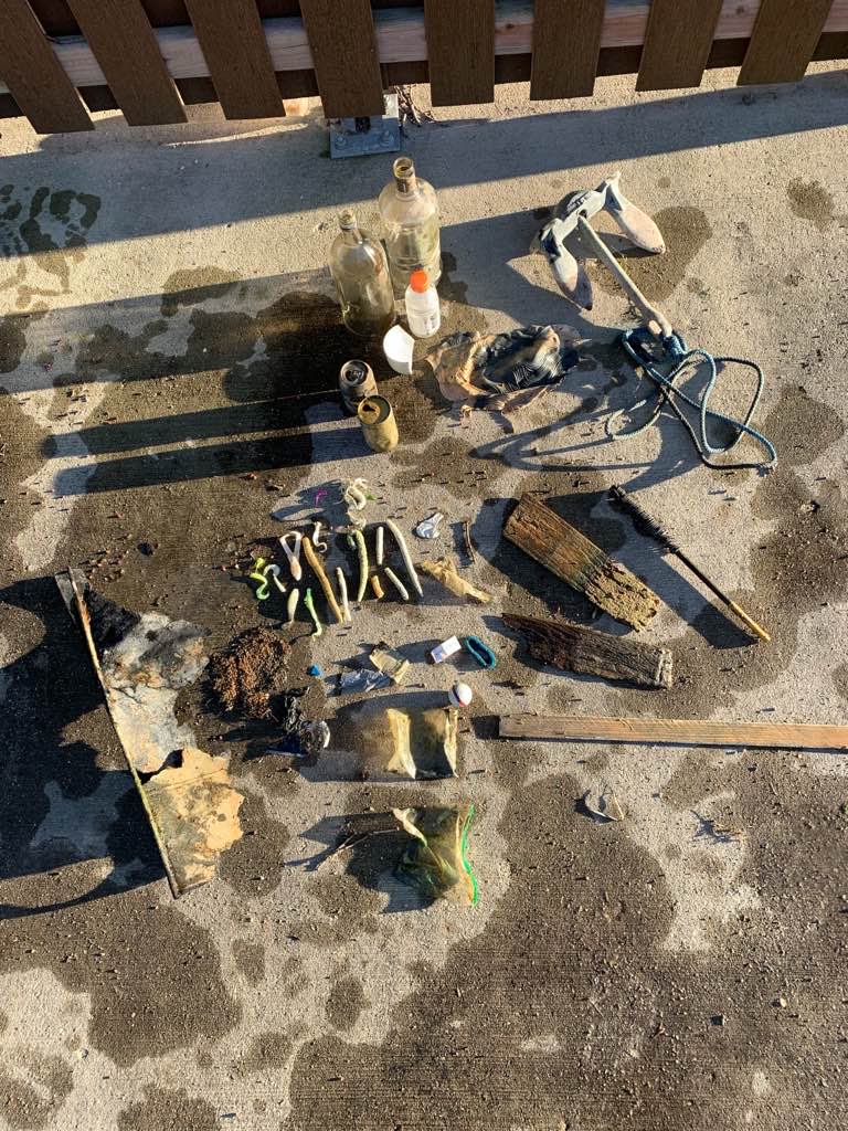
Plastic bags
Aluminum cans
Anchor
0
On
pounds
0
I have debris data to report
2
3
0
Calm (glassy to rippled) for waves 0 – 0.1 meter high
0
0
0
0
0
0
0
ft2
1
0
feet
seagrass
1
0
0
0
0
0
1
0
0
0
0
0
0
0
0
0
2
0
0
0
0
0
0
0
0
0
0
0
United States
State\Province
Wisconsin
City
Oconomowoc
Map Help


Dive Location

If you know your survey site coordinates, enter them manually in decimal degrees using WGS84 Map Datum. Use the minus sign for latitudes south of the equator and longitudes west of the Prime Meridian to 180 degrees.

If you do not know your survey site coordinates, click the “Map Location” tab to use the map to zoom into your survey site and drop the pin on the map to fall within your survey dive site in the water (not on land or the beach). Ensure you zoom in as much as possible to ensure data accuracy.

Entangled Help


Use the vertical tabs below to record any entangled animals you found of each type.

Breakwater

0
0
0
0
0
8
sand
0
0
0
12
0

36.610230599273, -121.89371363759

Stupid fishermen
Monofilament
Calm
0
0
0
0
0
0
0
0
0
0
0
0
0
0
0
0
0
0
0
0
Self
Weitzenhoffer
0
0
0
0
0
0
0
0
0
0
0
0
0
0
0
0
0
0
0
2
0
0
0
0
0
0
0
0
0
0
0
0
0
0
3.00
45
43.00
12.00
0
estimated
0
10
25576.20
0
0
0
0
0
0
On
pounds
0
I have debris data to report
0
0
0
Slight for waves 0.5 -1.25 meter high
0
0
0
0
0
0
0
ft2
0
0
feet
kelp
0
0
0
0
0
0
0
0
0
0
0
0
0
0
0
0
0
0
0
0
0
0
0
0
0
0
0
0
United States
State\Province
CA
City
Monterey
Map Help


Dive Location

If you know your survey site coordinates, enter them manually in decimal degrees using WGS84 Map Datum. Use the minus sign for latitudes south of the equator and longitudes west of the Prime Meridian to 180 degrees.

If you do not know your survey site coordinates, click the “Map Location” tab to use the map to zoom into your survey site and drop the pin on the map to fall within your survey dive site in the water (not on land or the beach). Ensure you zoom in as much as possible to ensure data accuracy.

Entangled Help


Use the vertical tabs below to record any entangled animals you found of each type.

Subscribe to