Maria Grécia
0
5
3
38.433156, -9.119665
0
0
0
sand
0
0
0
0
0
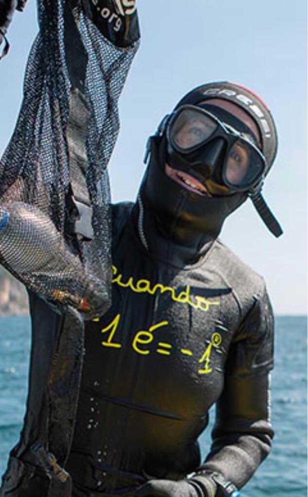
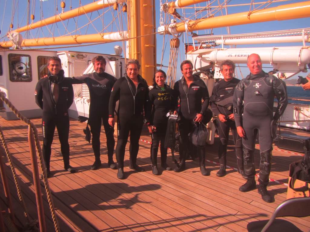
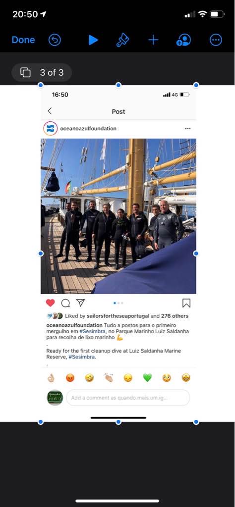
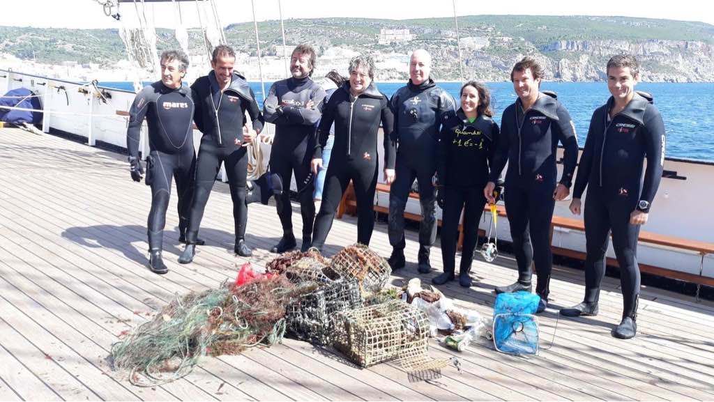
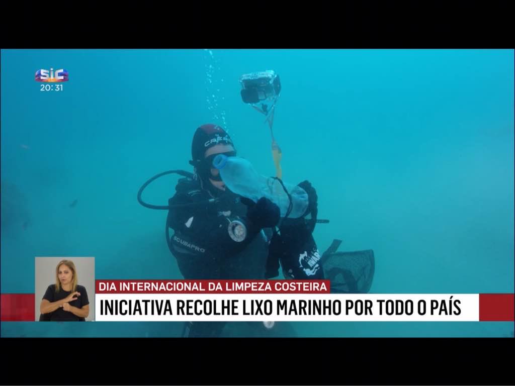
This cleanup action is one off the many that took place in Portugal during the week of the world cleanup day 2020, all organized and coordinated by Quando + 1 é = - 1 and Oceano Azul Foundation
No
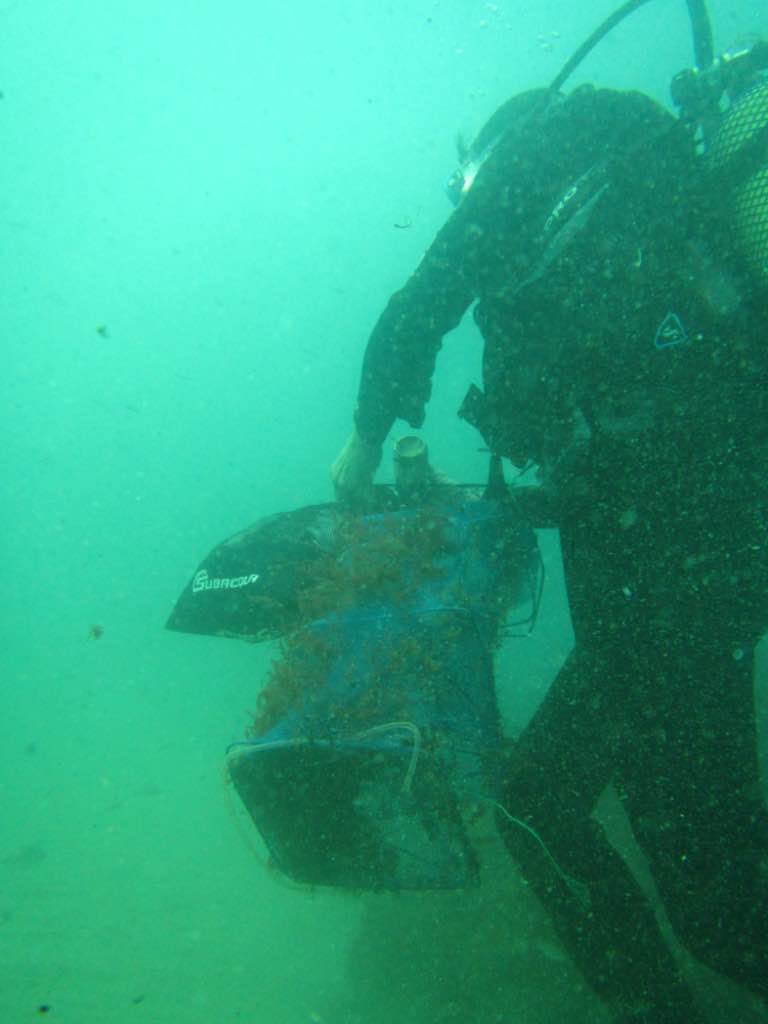
Fishing net Needle, spark plug
0
0
0
0
0
0
0
0
0
0
0
0
0
0
0
0
0
0
0
0
Vertente Natural / Quando + 1 é = - 1 / Oceano Azul Foundation
0
1
0
0
0
0
0
0
1
0
0
0
0
0
0
0
0
1
0
5
0
0
0
0
3
0
0
0
0
0
0
0
0
0
0.00
55
10.00
8.00
0
measured
0
0
513.42
0
0
0
0
0
Fishing traps
Glass beverage bottles
Fishing nets and fishing lines
0
On
kilograms
0
I have debris data to report
3
0
0
Calm (glassy to rippled) for waves 0 – 0.1 meter high
0
0
0
0
0
0
0
m2
0
1
meters
other
0
0
0
0
0
1
0
0
0
0
0
0
0
0
1
0
4
0
0
0
0
0
0
0
0
0
0
0
State\Province
Setúbal
City
Sesimbra
Map Help
Dive Location
If you know your survey site coordinates, enter them manually in decimal degrees using WGS84 Map Datum. Use the minus sign for latitudes south of the equator and longitudes west of the Prime Meridian to 180 degrees.
If you do not know your survey site coordinates, click the “Map Location” tab to use the map to zoom into your survey site and drop the pin on the map to fall within your survey dive site in the water (not on land or the beach). Ensure you zoom in as much as possible to ensure data accuracy.
Entangled Help