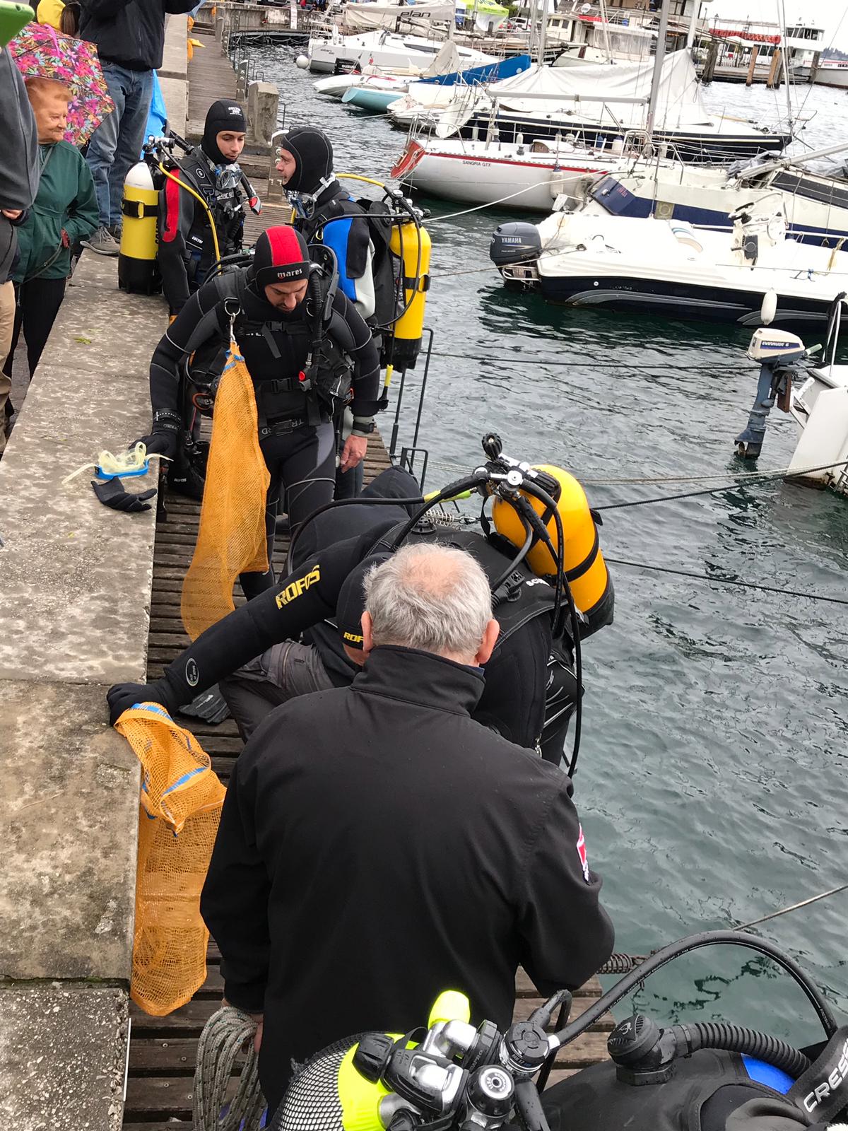
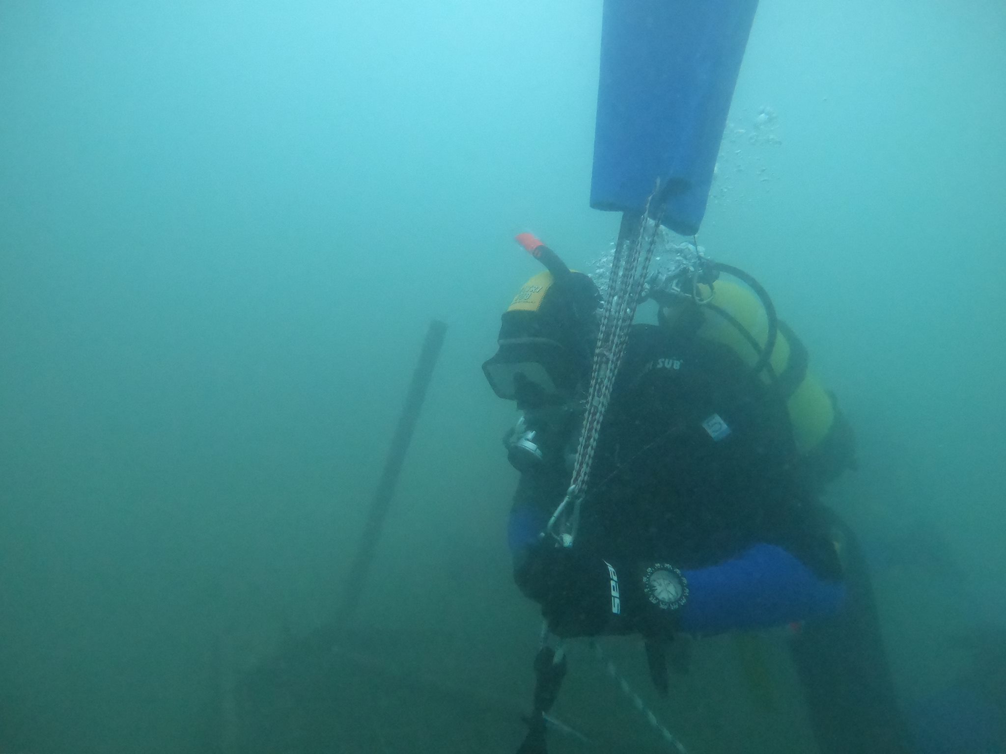
Video of the complete dive can be found here: https://youtu.be/dI7eivBBqVA
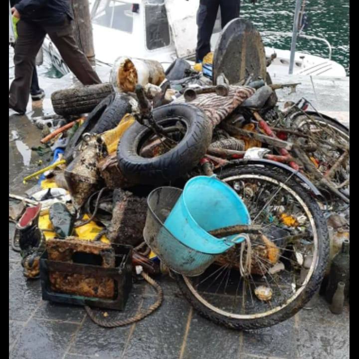
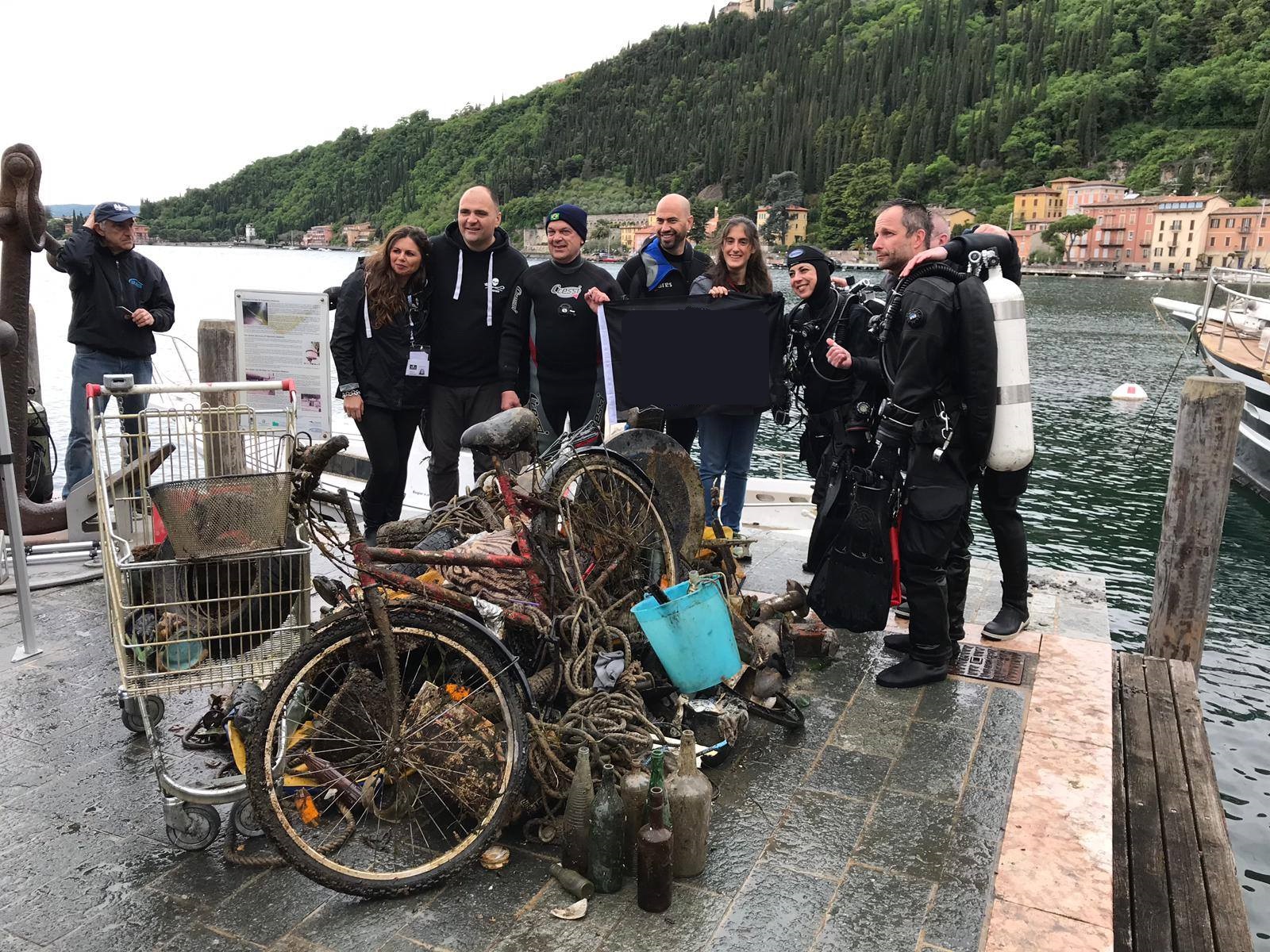
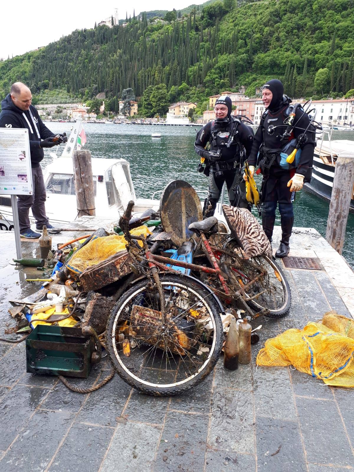
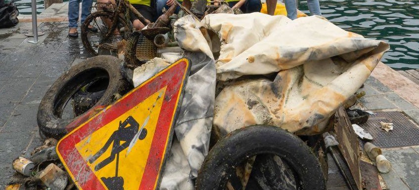
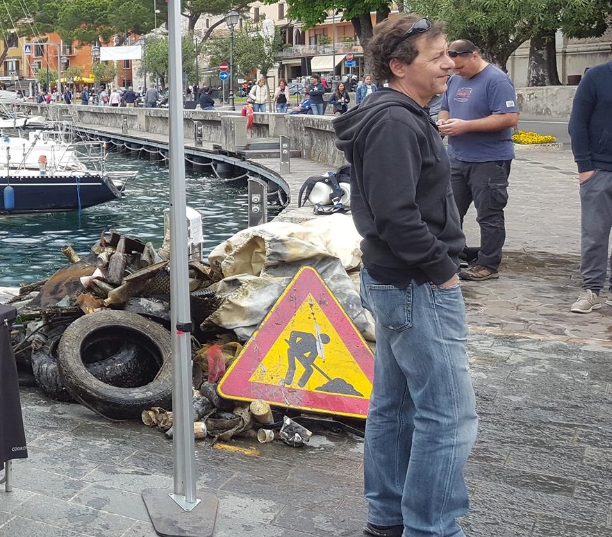
Quite a lot of shredded plastic.
scuba weight belt with 10kg of weight
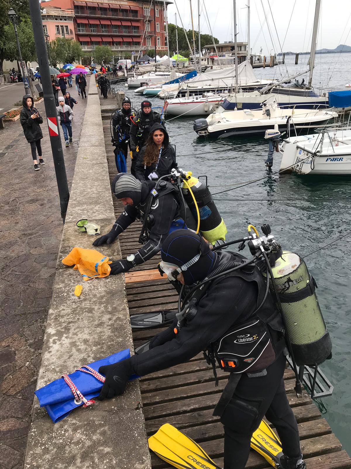
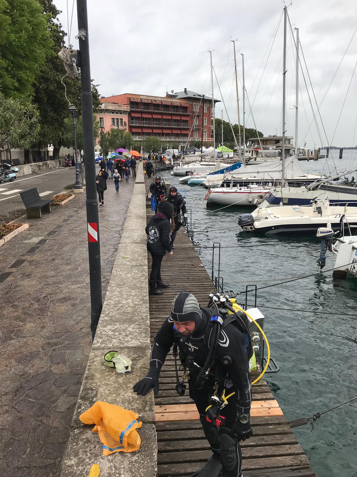
Clear, but rough seas mostly
1
scuba weight belt
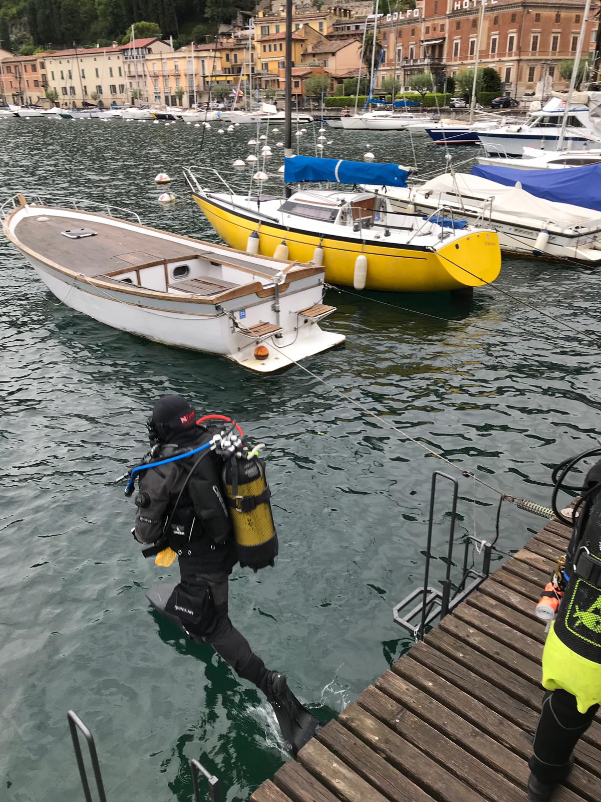
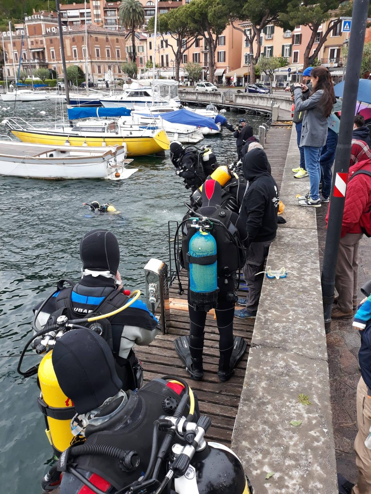
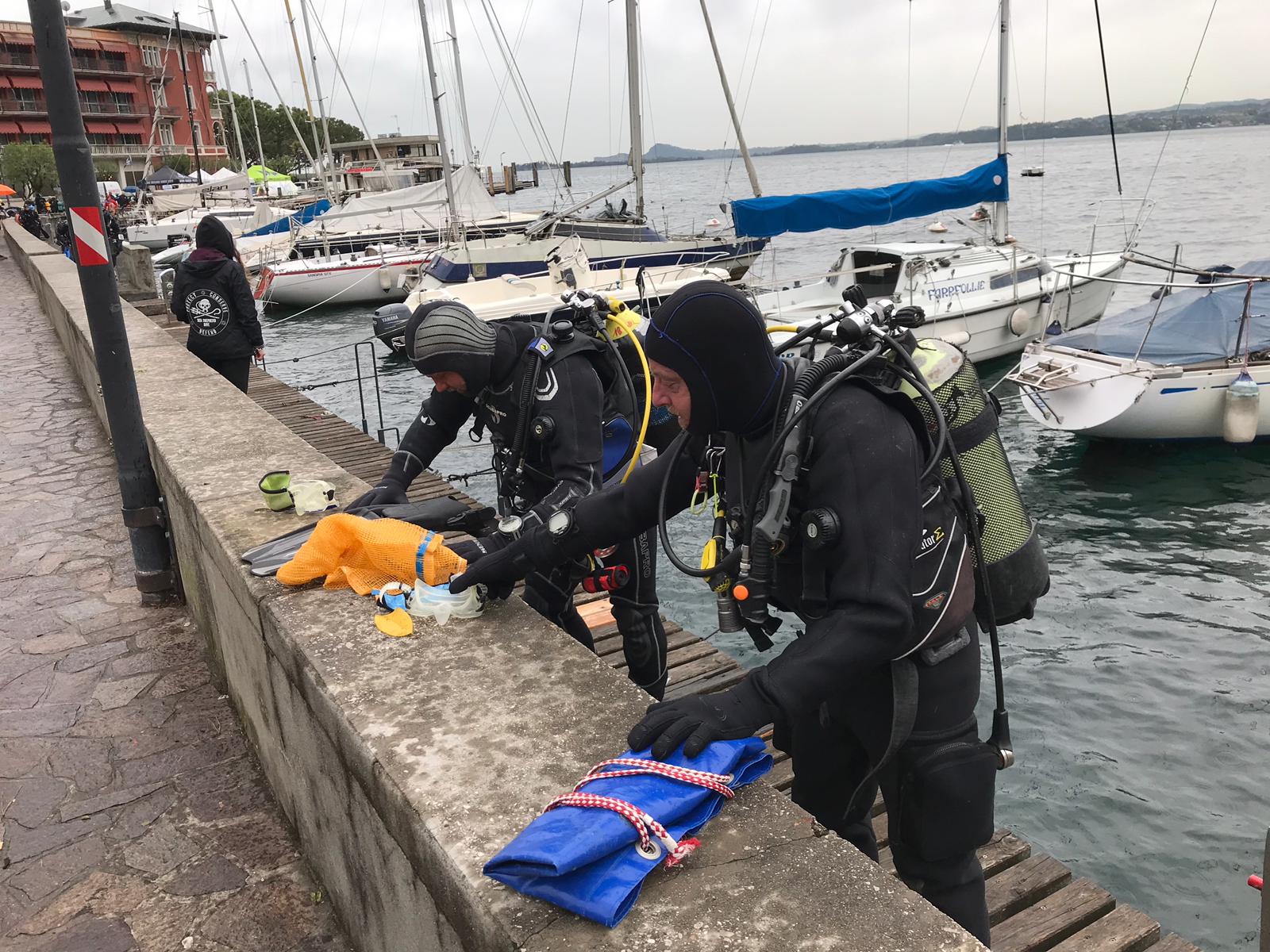
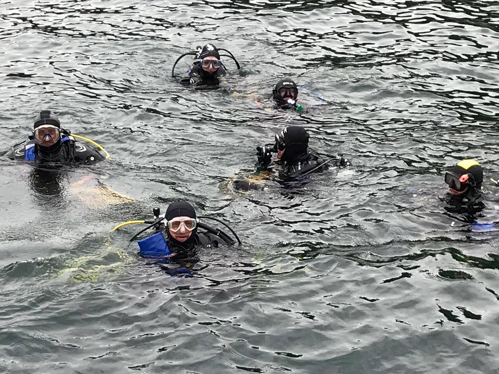
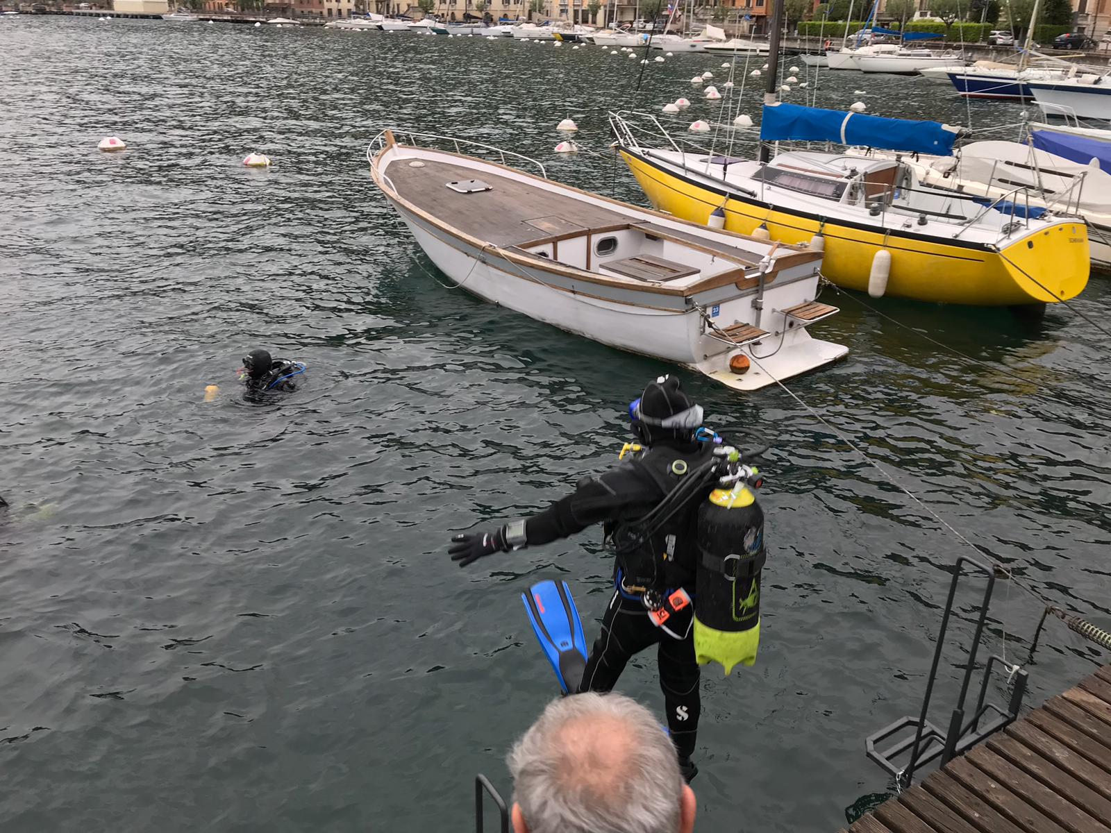
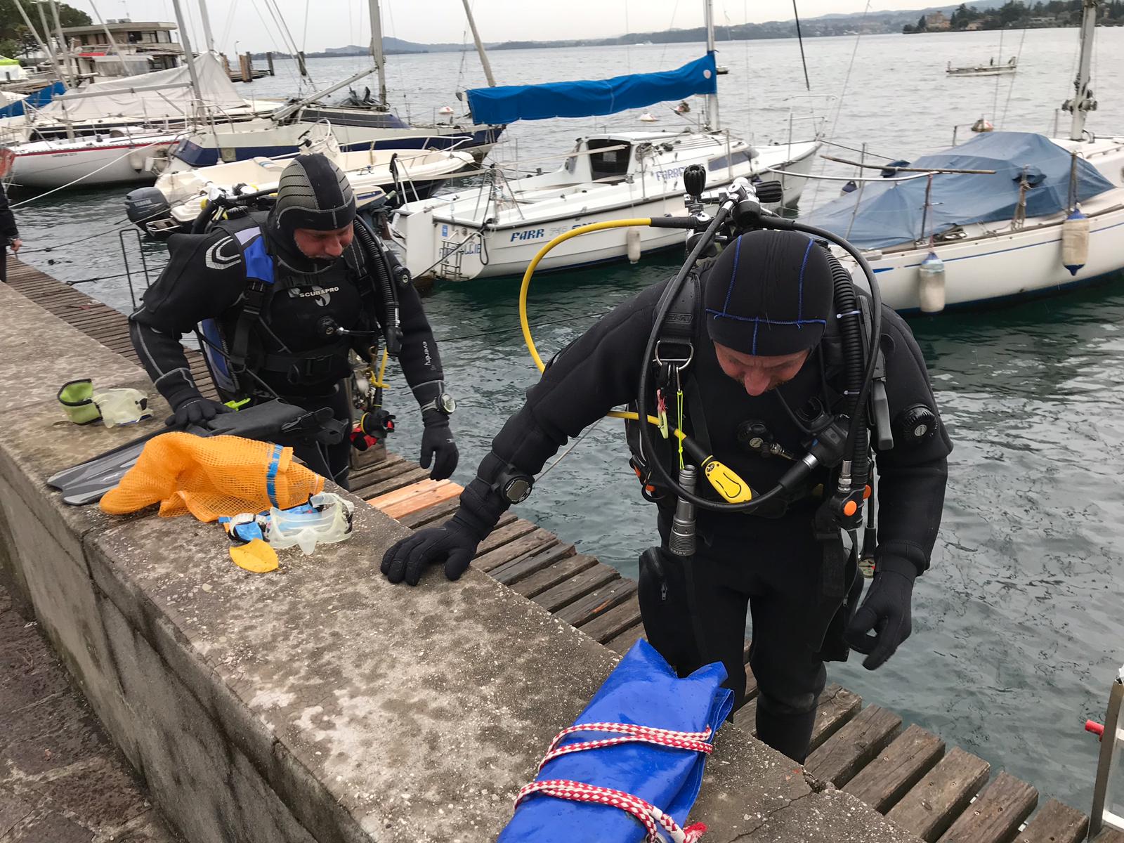
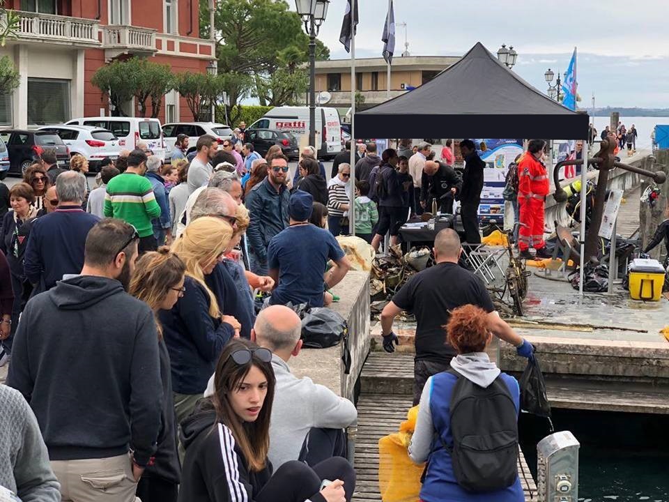
Dive Against Debris Korea (Daegu)
William Henderson
1
2
1
1
2
2
15.00
53
5.00
1.00
2
estimated
9
110.00
1
plastic strips
discarded clothing
On
kilograms
I have debris data to report
Smooth (wavelets) for waves 0.1 - 0.5 meter high
1
1
m2
7
2
meters
rocky reef
4
2
2
5
1
1
3
3
1
South Korea
State\Province
Gyeongbuk-do
City
Pohang
Map Help
Dive Location
If you know your survey site coordinates, enter them manually in decimal degrees using WGS84 Map Datum. Use the minus sign for latitudes south of the equator and longitudes west of the Prime Meridian to 180 degrees.
If you do not know your survey site coordinates, click the “Map Location” tab to use the map to zoom into your survey site and drop the pin on the map to fall within your survey dive site in the water (not on land or the beach). Ensure you zoom in as much as possible to ensure data accuracy.
Entangled Help
Use the vertical tabs below to record any entangled animals you found of each type.
Warm weather would of brought out a lot of fishermen
Hot
0
0
0
0
0
0
0
0
0
0
0
0
0
0
0
0
0
0
0
0
Melbourne Mermaids
Jourdane
0
0
0
0
0
0
0
0
0
0
0
0
0
0
0
0
0
0
0
2
0
0
0
0
0
0
0
0
0
0
0
0
0
0
0.50
60
4.00
1.00
0
estimated
0
15
479.00
0
0
0
0
0
100m of fishing line was found not 100 pieces of it
0
On
kilograms
0
I have debris data to report
0
0
0
Calm (glassy to rippled) for waves 0 – 0.1 meter high
0
0
0
0
0
0
0
m2
0
0
meters
coral reef
0
0
0
0
0
0
0
0
0
0
0
0
0
0
0
0
0
0
0
0
0
0
0
0
0
0
0
0
Language
English
Australia
State\Province
Victoria
City
Blairgowrie
Map Help
Dive Location
If you know your survey site coordinates, enter them manually in decimal degrees using WGS84 Map Datum. Use the minus sign for latitudes south of the equator and longitudes west of the Prime Meridian to 180 degrees.
If you do not know your survey site coordinates, click the “Map Location” tab to use the map to zoom into your survey site and drop the pin on the map to fall within your survey dive site in the water (not on land or the beach). Ensure you zoom in as much as possible to ensure data accuracy.
Entangled Help
Use the vertical tabs below to record any entangled animals you found of each type.
windy 20+ knot winds for a few days, calm for a few days, silty visibility (30 ft)
1
anchor chain
Key Dives
Alyssa Panzer
14
13.00
38
65.00
45.00
measured
6
300.00
fishing line
On
pounds
I have debris data to report
Slight for waves 0.5 -1.25 meter high
m2
feet
rocky reef
3
1
Language
English
United States
State\Province
FL
City
Islamorada
Map Help
Dive Location
If you know your survey site coordinates, enter them manually in decimal degrees using WGS84 Map Datum. Use the minus sign for latitudes south of the equator and longitudes west of the Prime Meridian to 180 degrees.
If you do not know your survey site coordinates, click the “Map Location” tab to use the map to zoom into your survey site and drop the pin on the map to fall within your survey dive site in the water (not on land or the beach). Ensure you zoom in as much as possible to ensure data accuracy.
Entangled Help
Use the vertical tabs below to record any entangled animals you found of each type.
Annuale appuntamento con al pulizia dei fondali del Golfo di Toscolano Maderno
Astore Santoro
1
3
12
40
6
9
10
5
4
2
3
7
5
6
4
600.00
62
30.00
5.00
estimated
300.00
6
On
kilograms
I have debris data to report
34
Calm (glassy to rippled) for waves 0 – 0.1 meter high
12
m2
meters
other
7
3
23
45
12
23
45
8
Language
English
Italy
State\Province
Brescia
City
Toscolano Maderno
Map Help
Dive Location
If you know your survey site coordinates, enter them manually in decimal degrees using WGS84 Map Datum. Use the minus sign for latitudes south of the equator and longitudes west of the Prime Meridian to 180 degrees.
If you do not know your survey site coordinates, click the “Map Location” tab to use the map to zoom into your survey site and drop the pin on the map to fall within your survey dive site in the water (not on land or the beach). Ensure you zoom in as much as possible to ensure data accuracy.
Entangled Help
Use the vertical tabs below to record any entangled animals you found of each type.
Pulizia dei fondali del Golfo di Toscolano Maderno
Annuale pulizia dei fondali del Golfo di Toscolano Maderno
Astore Santoro
15
17
9
0
0
13
1
7
22
30
5
15
17
19
17
18
21
4
3
8
2
400.00
52
30.00
5.00
estimated
200.00
1
Copertoni
Materiale edile
Biciclette
On
kilograms
I have debris data to report
22
Calm (glassy to rippled) for waves 0 – 0.1 meter high
5
m2
meters
other
3
34
12
5
34
Language
English
Italy
State\Province
Brescia
City
Toscolano Maderno
Map Help
Dive Location
If you know your survey site coordinates, enter them manually in decimal degrees using WGS84 Map Datum. Use the minus sign for latitudes south of the equator and longitudes west of the Prime Meridian to 180 degrees.
If you do not know your survey site coordinates, click the “Map Location” tab to use the map to zoom into your survey site and drop the pin on the map to fall within your survey dive site in the water (not on land or the beach). Ensure you zoom in as much as possible to ensure data accuracy.
Entangled Help
Use the vertical tabs below to record any entangled animals you found of each type.
Calm (glassy to rippled) for waves 0 – 0.1 meter high
5
0
0
0
0
0
0
ft2
0
0
feet
coral reef
1
5
0
0
0
0
0
0
0
0
0
0
0
0
0
0
0
0
0
0
0
NA
Green
0
0
0
0
0
0
0
0
Language
English
United States
State\Province
Florida
City
Miami
Map Help
Dive Location
If you know your survey site coordinates, enter them manually in decimal degrees using WGS84 Map Datum. Use the minus sign for latitudes south of the equator and longitudes west of the Prime Meridian to 180 degrees.
If you do not know your survey site coordinates, click the “Map Location” tab to use the map to zoom into your survey site and drop the pin on the map to fall within your survey dive site in the water (not on land or the beach). Ensure you zoom in as much as possible to ensure data accuracy.
Entangled Help
Use the vertical tabs below to record any entangled animals you found of each type.
Face masks due to covid
Fireworks due to new years
Mixture of rain during the mornings and evenings. Daytimes cloudy with spots of rain. Heavy winds
3
Disposable face mask
Dive Friends @ GoodDive
Daniel Guerra
15
3
4
4.50
45
14.00
2.00
estimated
4147.00
1
Fishing Line
Disposable Face Masks
On
kilograms
I have debris data to report
Smooth (wavelets) for waves 0.1 - 0.5 meter high
m2
meters
coral reef
2
Language
English
Netherlands Antilles
State\Province
Bonaire
City
Kralendijk
Map Help
Dive Location
If you know your survey site coordinates, enter them manually in decimal degrees using WGS84 Map Datum. Use the minus sign for latitudes south of the equator and longitudes west of the Prime Meridian to 180 degrees.
If you do not know your survey site coordinates, click the “Map Location” tab to use the map to zoom into your survey site and drop the pin on the map to fall within your survey dive site in the water (not on land or the beach). Ensure you zoom in as much as possible to ensure data accuracy.
Entangled Help
Use the vertical tabs below to record any entangled animals you found of each type.
Smooth (wavelets) for waves 0.1 - 0.5 meter high
m2
1
meters
seagrass
1
1
1
Language
English
Australia
State\Province
NSW
City
Sydney
Map Help
Dive Location
If you know your survey site coordinates, enter them manually in decimal degrees using WGS84 Map Datum. Use the minus sign for latitudes south of the equator and longitudes west of the Prime Meridian to 180 degrees.
If you do not know your survey site coordinates, click the “Map Location” tab to use the map to zoom into your survey site and drop the pin on the map to fall within your survey dive site in the water (not on land or the beach). Ensure you zoom in as much as possible to ensure data accuracy.
Entangled Help
Use the vertical tabs below to record any entangled animals you found of each type.