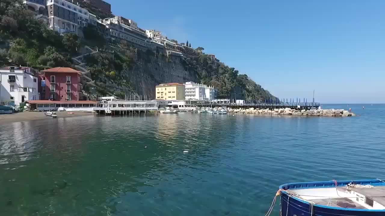
Racha Yai
7.6099118921244, 98.378182905726
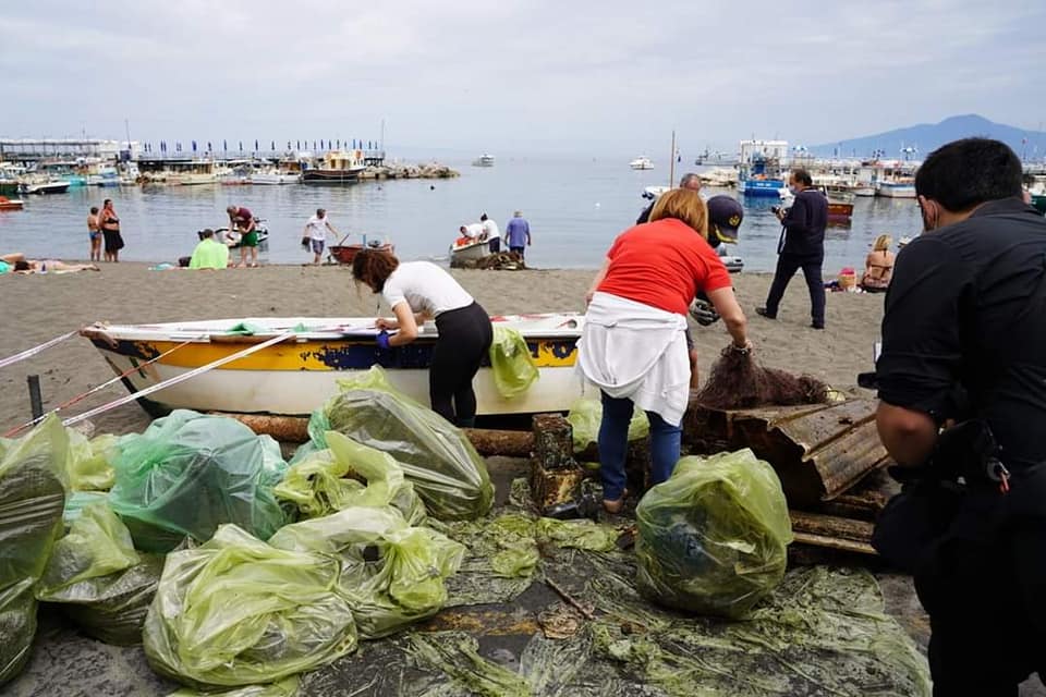
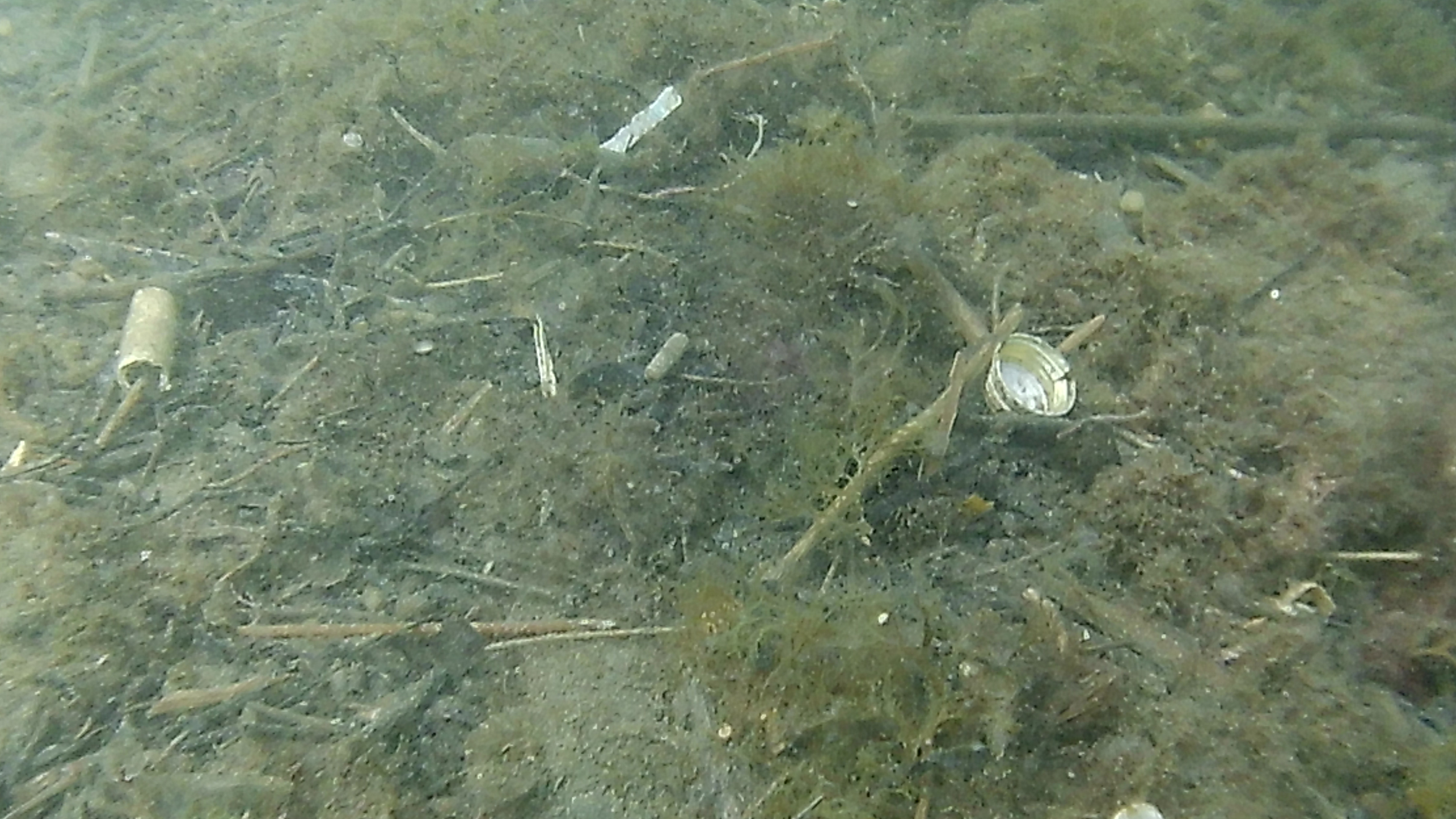
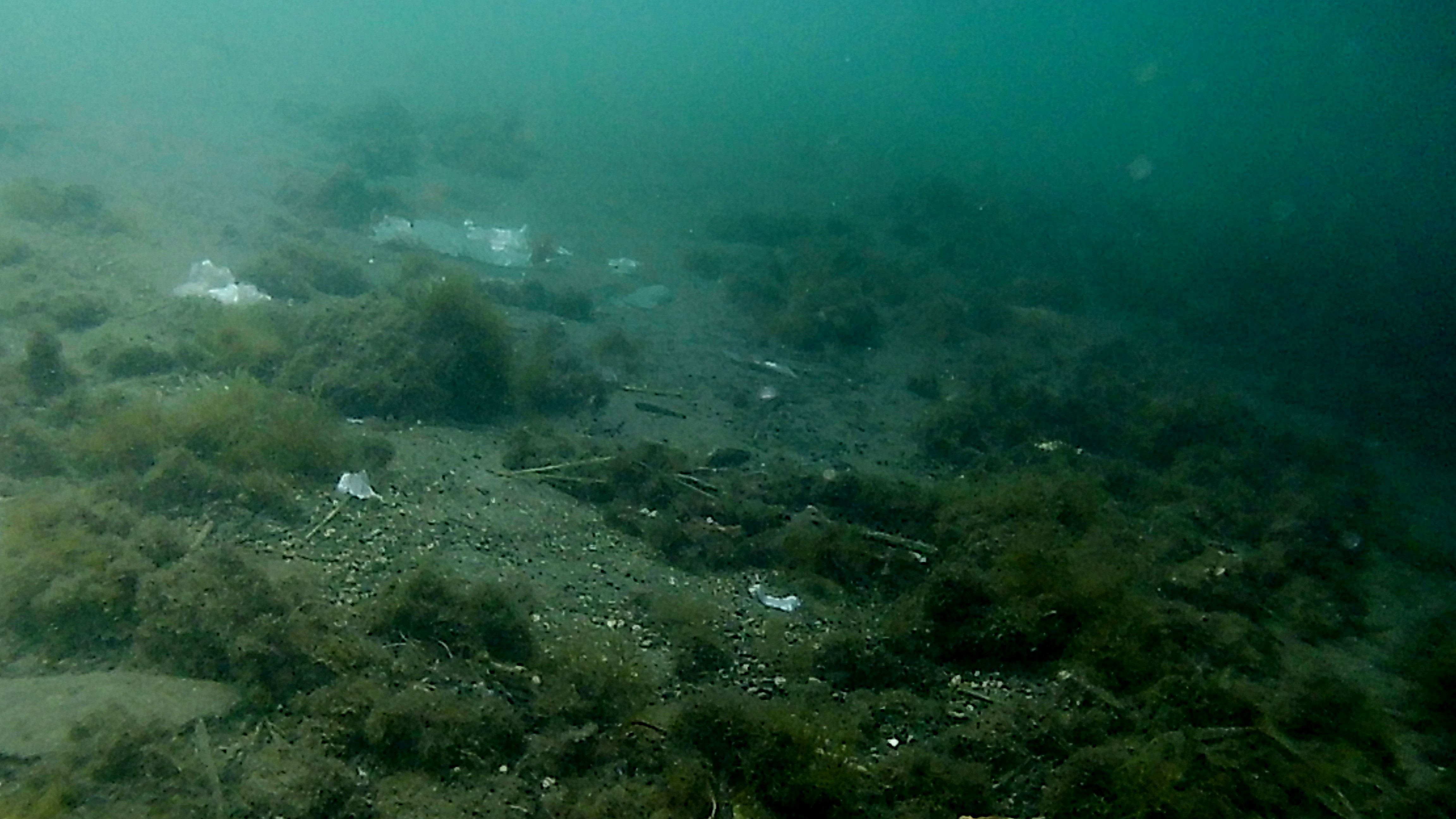
Mostly facing problems with PET bottles.
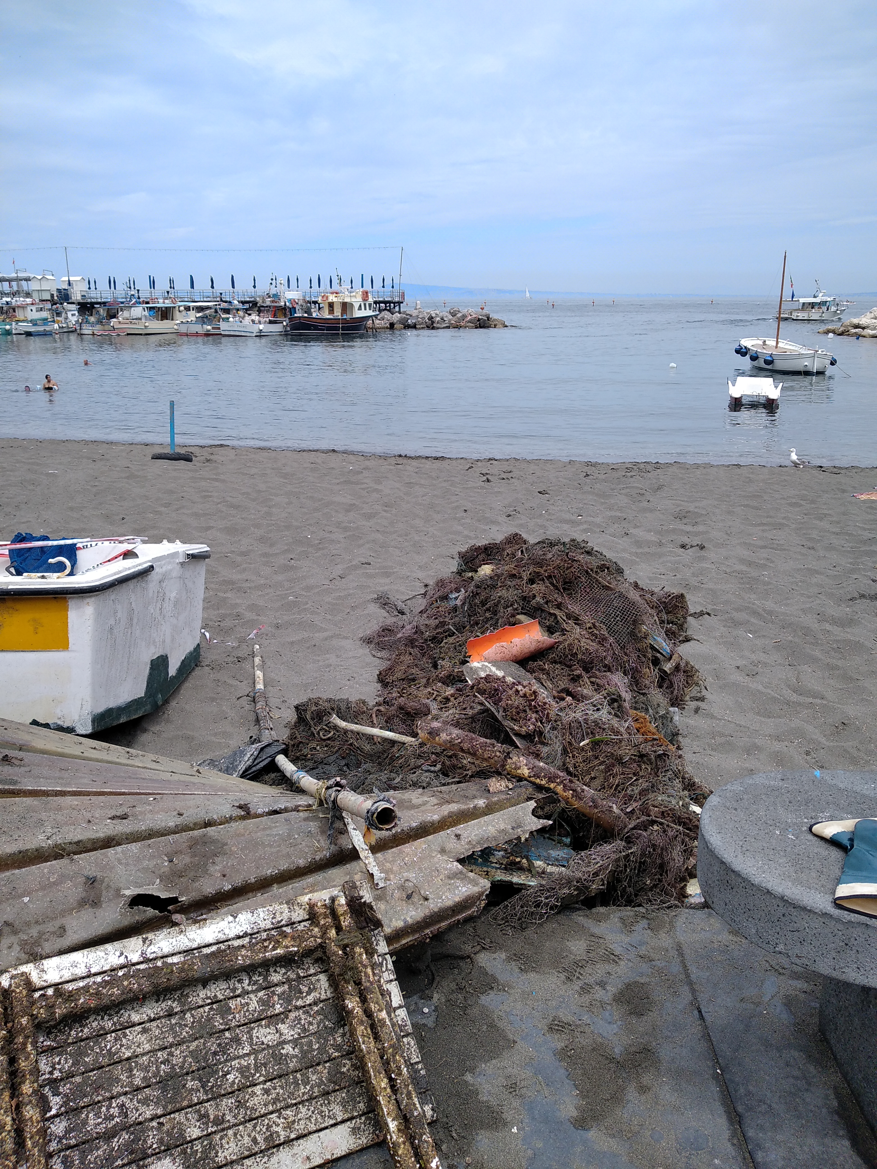
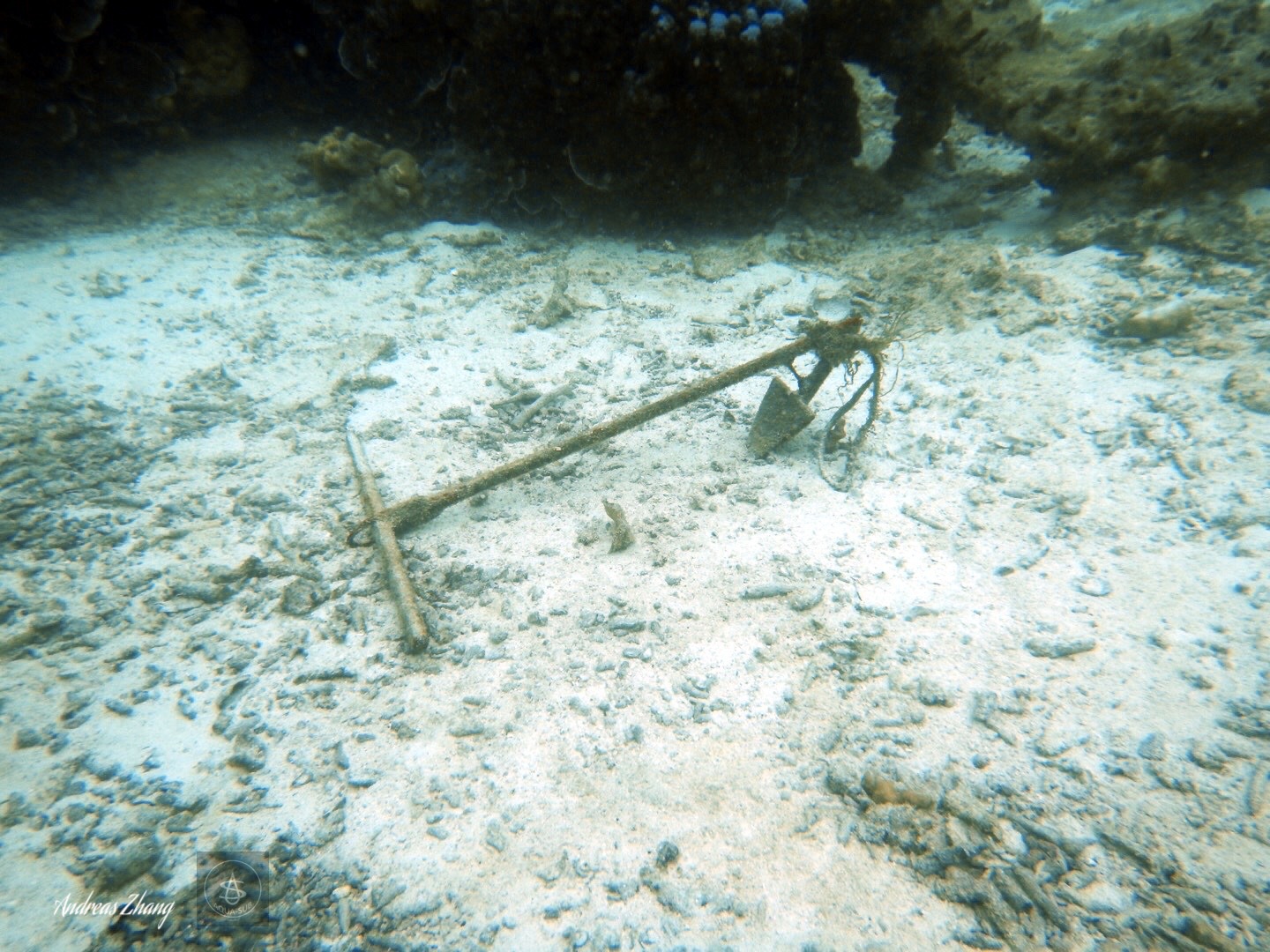
The anchor was from a careless fisherman.
One broken lamp.
Cloudy sky.
1
Anchor
Aquasub S-28205
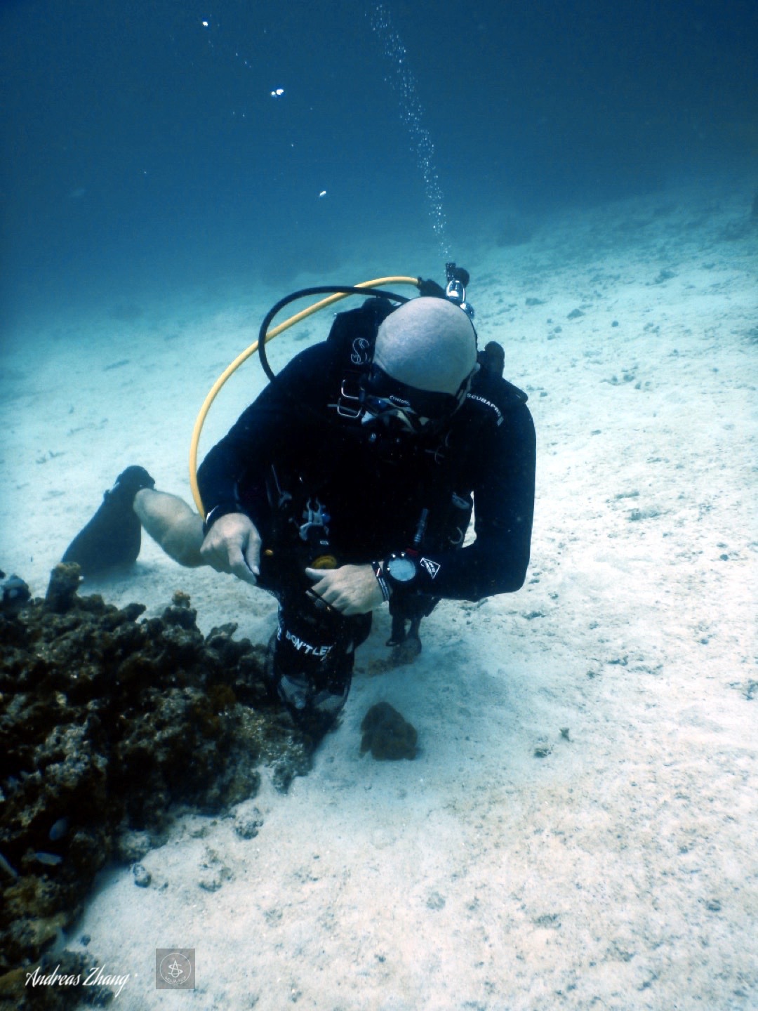
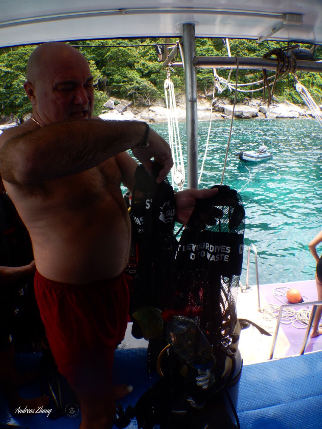
Andy
1
3
3
25.00
60
14.00
5.00
measured
225.00
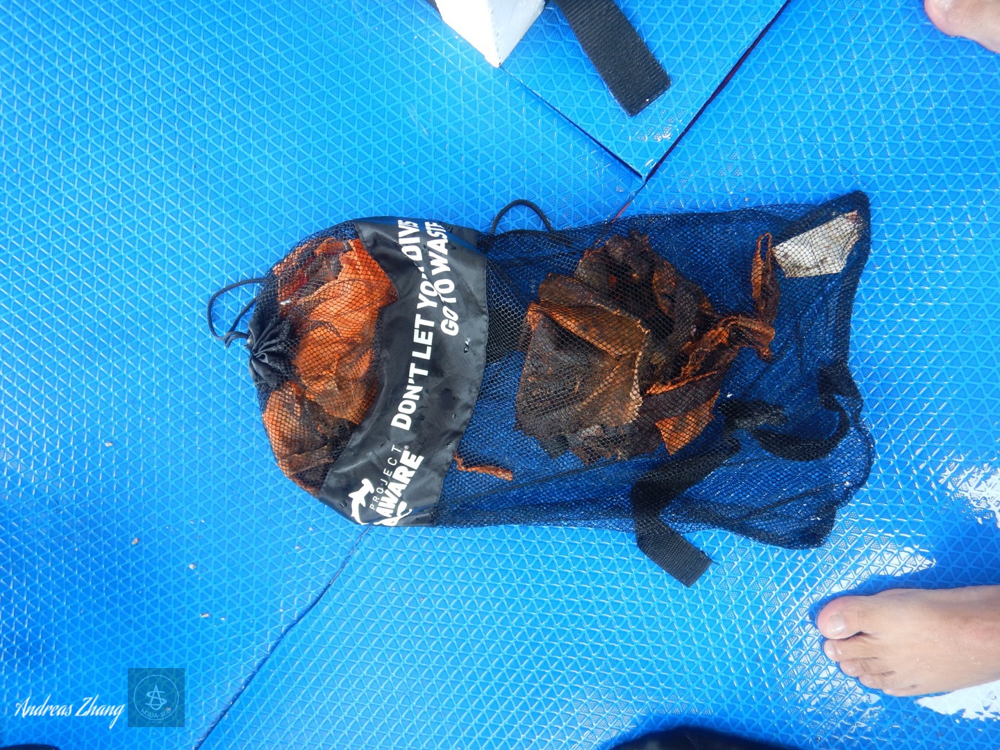
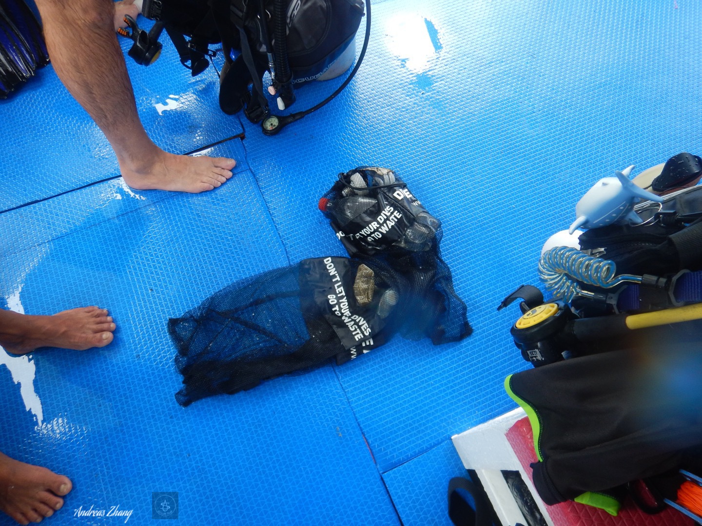
PET bottles
Cigarette filters
Fishing line
On
kilograms
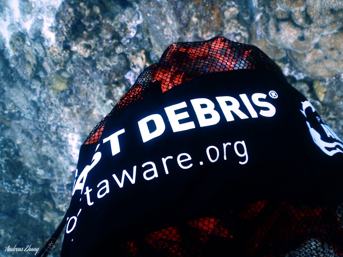
I have debris data to report
Smooth (wavelets) for waves 0.1 - 0.5 meter high
m2
meters
coral reef
1
State\Province
Phuket
City
Phuket
Map Help
Dive Location
If you know your survey site coordinates, enter them manually in decimal degrees using WGS84 Map Datum. Use the minus sign for latitudes south of the equator and longitudes west of the Prime Meridian to 180 degrees.
If you do not know your survey site coordinates, click the “Map Location” tab to use the map to zoom into your survey site and drop the pin on the map to fall within your survey dive site in the water (not on land or the beach). Ensure you zoom in as much as possible to ensure data accuracy.
Entangled Help