Diving Store Pothitos
1
37.45551, 23.5219
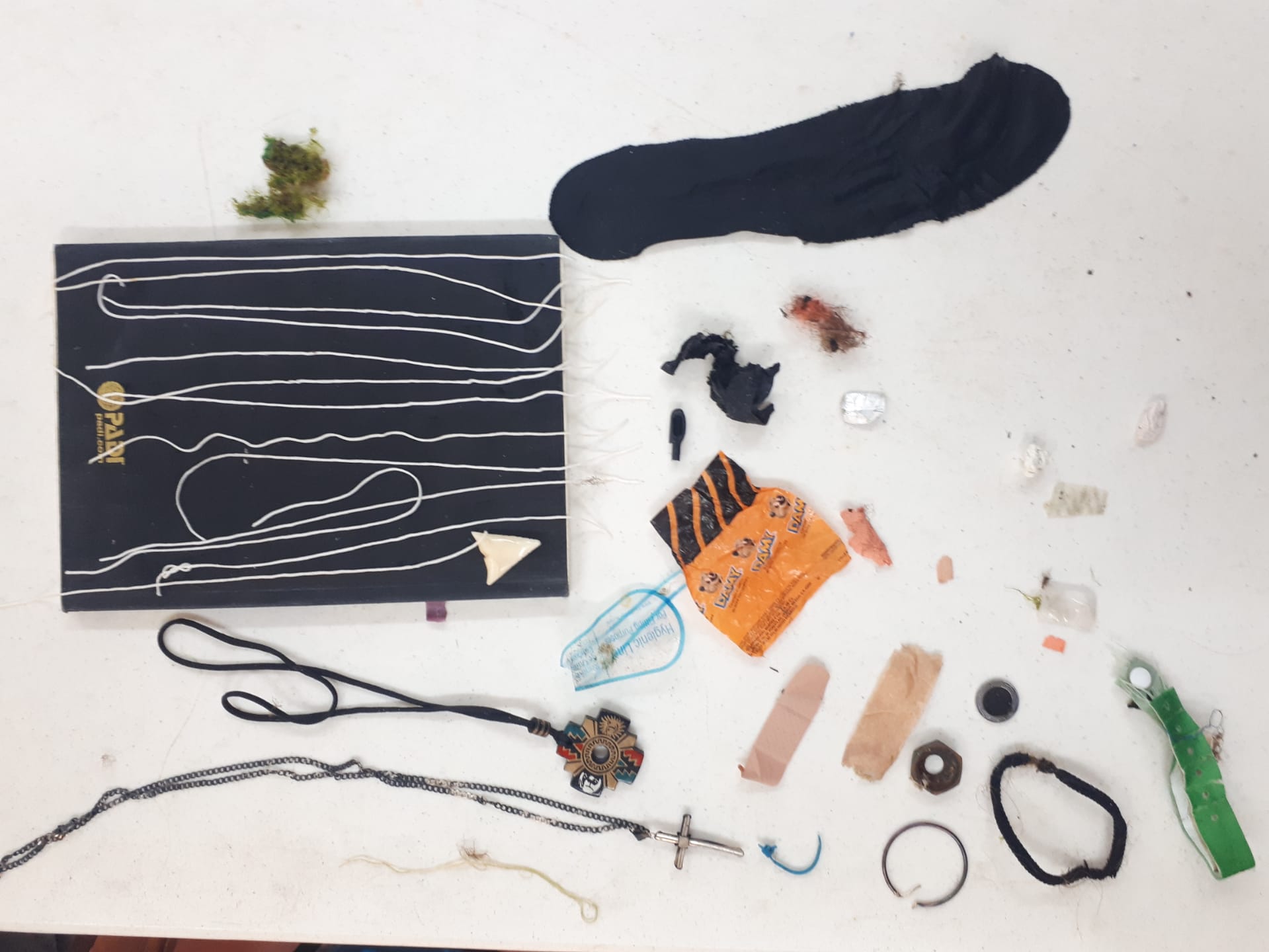
Six Slipper Lobster Released unharmed
Two scorpion fish dead
Two Gastropodes dead
Two scorpion fish dead
Two Gastropodes dead
Diving Store
Alexandros Vennos
10
30.00
36
35.00
1.00
estimated
403.00
On
kilograms
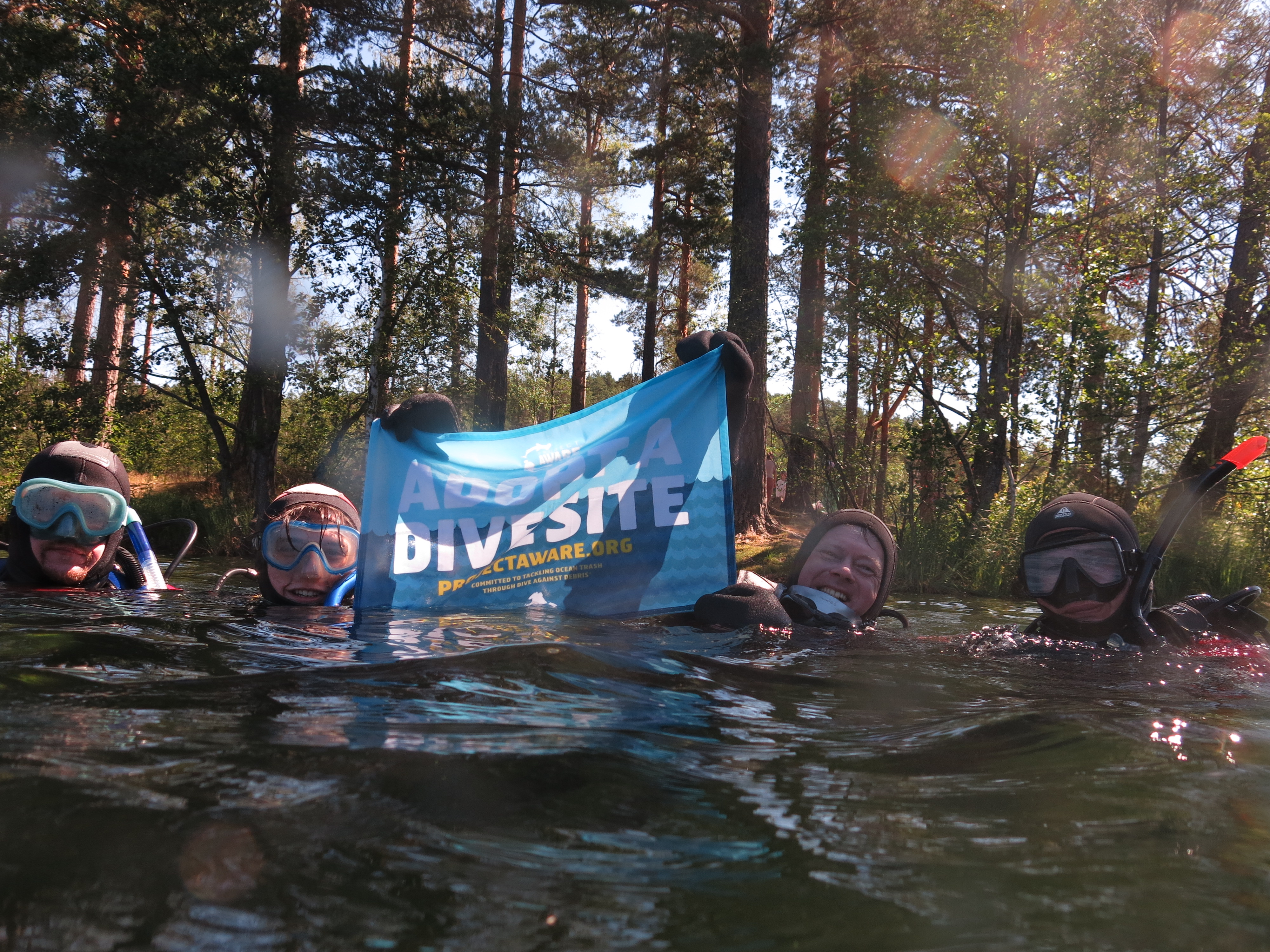
I have debris data to report
Smooth (wavelets) for waves 0.1 - 0.5 meter high
Fishing Nets
Dead
Scorpion Fish
Slipper Lobster
Released Unharmed
6
2
Fish nets
m2


2
Fish Nets
Gastropode
Dead
meters
rocky reef
State\Province
Agia Marina - Lagonissi
City
Athens
Map Help
Dive Location
If you know your survey site coordinates, enter them manually in decimal degrees using WGS84 Map Datum. Use the minus sign for latitudes south of the equator and longitudes west of the Prime Meridian to 180 degrees.
If you do not know your survey site coordinates, click the “Map Location” tab to use the map to zoom into your survey site and drop the pin on the map to fall within your survey dive site in the water (not on land or the beach). Ensure you zoom in as much as possible to ensure data accuracy.
Entangled Help